Bunkers Hill
Hill, Mountain in Norfolk South Norfolk
England
Bunkers Hill

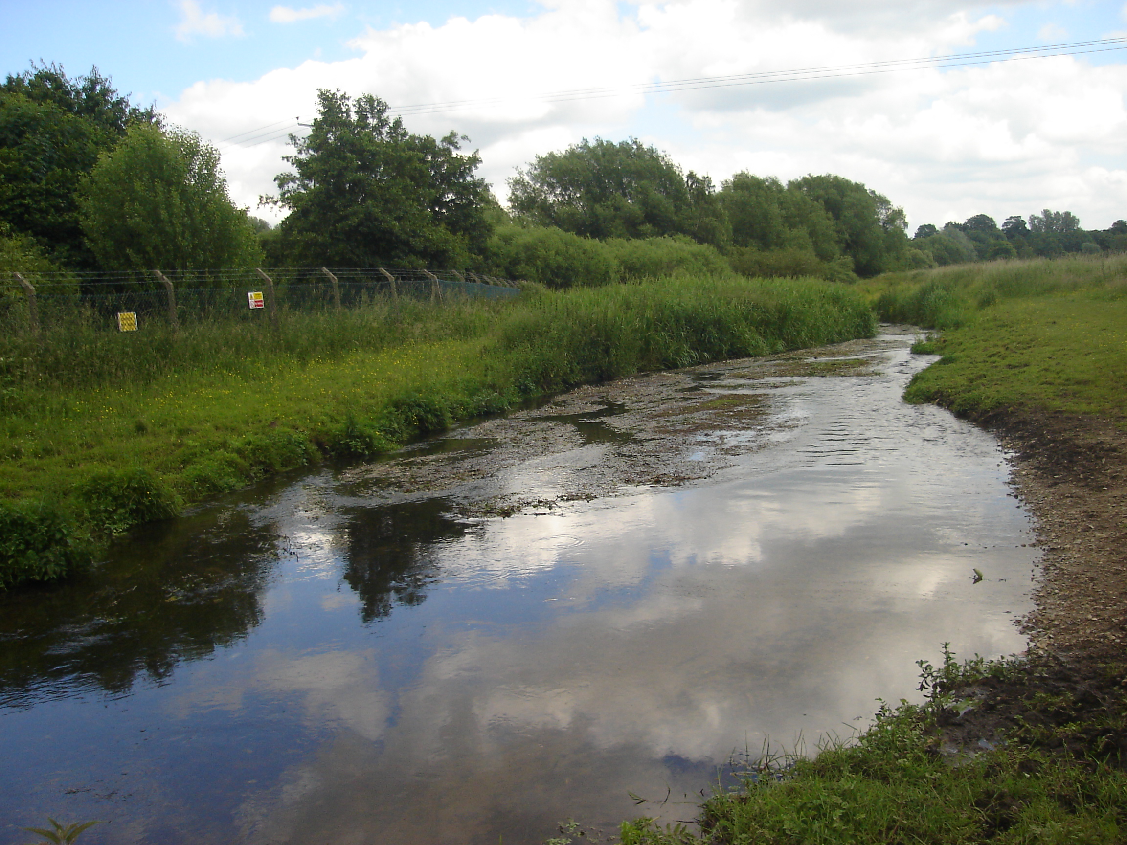
Bunkers Hill is a prominent natural feature located in Norfolk, England. While it may not fit the traditional definition of a hill or mountain, it is commonly referred to as such due to its unique topography. Situated in the county's rural landscape, Bunkers Hill offers breathtaking panoramic views of the surrounding countryside.
The hill itself is characterized by its gentle slope and lush greenery. It is primarily covered in grass, dotted with occasional trees, and is a popular destination for hikers and nature enthusiasts. Despite its relatively modest elevation, reaching approximately 100 meters above sea level, Bunkers Hill provides visitors with a sense of tranquility and serenity.
The origins of the name "Bunkers Hill" are not entirely clear, but it is believed to have derived from the old English word "bunker," meaning a mound or raised area. This suggests that the hill may have served as a landmark or point of reference in the past.
Bunkers Hill is situated in an area known for its rich biodiversity. The hill is home to a variety of plant and animal species, contributing to its ecological significance. Visitors can expect to encounter a range of wildlife, including birds, small mammals, and insects, as they explore the hill's trails.
In addition to its natural beauty, Bunkers Hill also holds historical significance. It is rumored to have played a role in local folklore and may have been a site of ancient settlements or defensive structures. The hill's historical legacy adds an extra layer of intrigue for those curious about the region's past.
Overall, Bunkers Hill, Norfolk, stands as a picturesque and historically intriguing natural feature, offering visitors a chance to immerse themselves in the beauty and tranquility of the English countryside.
If you have any feedback on the listing, please let us know in the comments section below.
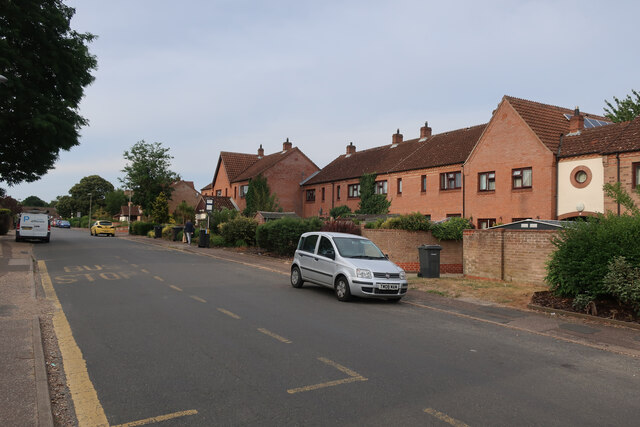
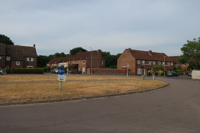
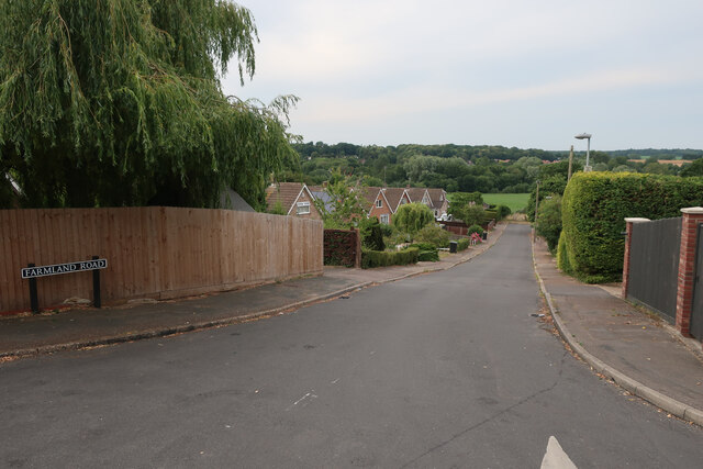
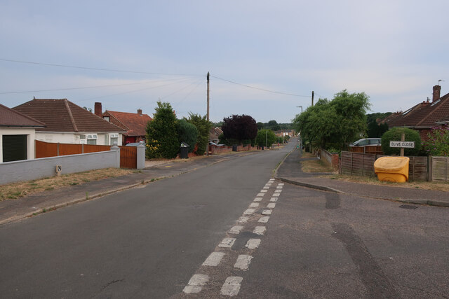
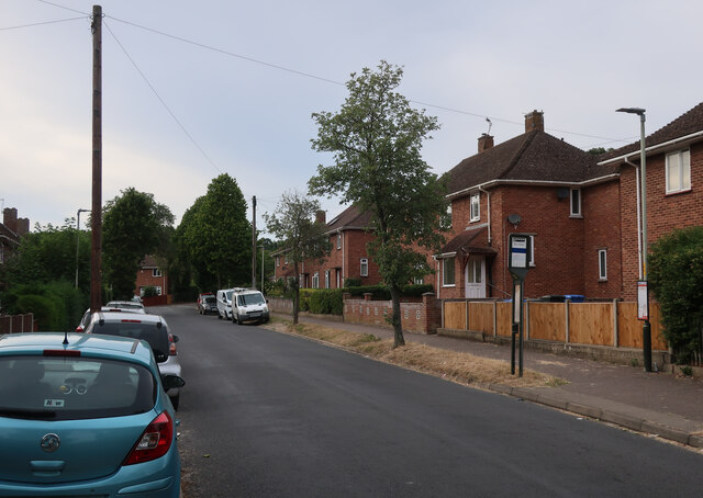
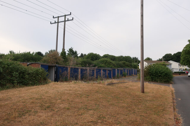
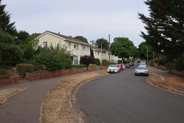
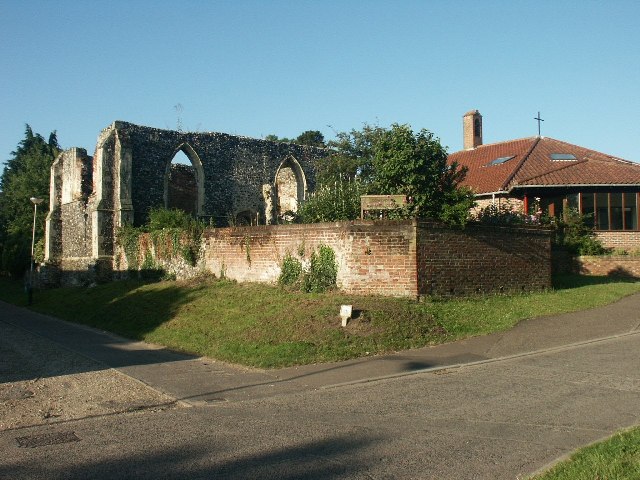
Bunkers Hill Images
Images are sourced within 2km of 52.649356/1.2246972 or Grid Reference TG1810. Thanks to Geograph Open Source API. All images are credited.


Bunkers Hill is located at Grid Ref: TG1810 (Lat: 52.649356, Lng: 1.2246972)
Administrative County: Norfolk
District: South Norfolk
Police Authority: Norfolk
What 3 Words
///forest.option.pushy. Near Bowthorpe, Norfolk
Nearby Locations
Related Wikis

Norwich CBS F.C.
Norwich CBS Football Club is a football club based in Norwich, England. They are currently members of the Eastern Counties League Division One North and...
Ormiston Victory Academy
Ormiston Victory Academy (formerly Costessey High School) is a secondary school and sixth form located in Costessey, Norfolk, England. The academy has...

Costessey
Costessey ( KOSS-ee) is a town and civil parish in the South Norfolk district of Norfolk, England, and is 4 miles (6.4 km) north west of Norwich. The...

Marriott's Way
The Marriott's Way is a footpath, cycle-path and bridleway in north Norfolk, England, between Norwich and Aylsham via Themelthorpe. It forms part of the...
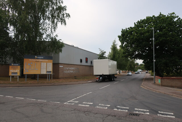
Bowthorpe
Bowthorpe is a suburban village to the west of Norwich, in the county of Norfolk, England. == Geography == Bowthorpe is primarily a residential area, but...

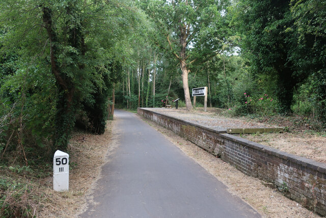
Hellesdon railway station
Hellesdon railway station is a former railway station in Norfolk, England, which served the area of Hellesdon, today virtually an outer suburb of Norwich...
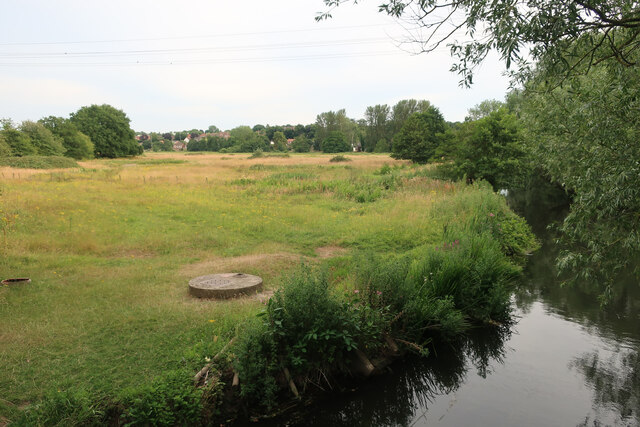
River Tud
River Tud is a tributary of the River Wensum, Norfolk in the East of England. The Tud's source is just south of East Dereham and it flows in an easterly...
Hellesdon
Hellesdon is a village in the District of Broadland in Norfolk, England. It lies approximately four miles (6 km) north-west of Norwich city centre and...
Nearby Amenities
Located within 500m of 52.649356,1.2246972Have you been to Bunkers Hill?
Leave your review of Bunkers Hill below (or comments, questions and feedback).