Norwich Hill

Hill, Mountain in Norfolk South Norfolk

England

Norwich Hill

The A11 west approaching junction for Ketteringham
The A11 west approaching junction for Ketteringham Credit: Roy Hughes

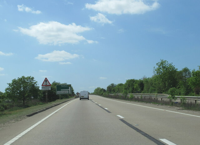
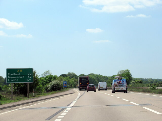
Norwich Hill, located in Norfolk, England, is a prominent geographical feature in the region. Despite its name, Norwich Hill is not a traditional hill or mountain, but rather a gently sloping area of elevated land. It lies to the northeast of the city of Norwich and is a part of the broader Norfolk plateau.

The hill is characterized by its rolling landscape and offers panoramic views of the surrounding countryside. It is primarily covered in lush green pastures and is dotted with a few scattered trees. The area is particularly picturesque during the spring and summer months when the fields are in full bloom with vibrant wildflowers.

Norwich Hill is a popular destination for walkers, hikers, and nature enthusiasts. It offers a range of walking trails of varying difficulty, allowing visitors to explore the area at their own pace. The hill is also home to a variety of wildlife, including rabbits, squirrels, and a wide range of bird species, making it an ideal spot for birdwatching.

The hill's location on the outskirts of Norwich makes it easily accessible for both locals and tourists. It provides a peaceful retreat from the bustling city, offering a tranquil setting for those seeking a break from urban life. Additionally, the hill is a popular spot for picnics and family outings, with several designated picnic areas and benches scattered throughout the area.

Overall, Norwich Hill is a charming natural landmark that showcases the beauty of the Norfolk countryside. Whether it's for a leisurely walk, a picnic, or simply to enjoy the stunning views, this gentle hill provides a delightful escape for all who visit.

If you have any feedback on the listing, please let us know in the comments section below.

Norwich Hill Images

Images are sourced within 2km of 52.582669/1.2021971 or Grid Reference TG1703. Thanks to Geograph Open Source API. All images are credited.

The A11 west approaching junction for Ketteringham
The A11 west . 22 miles to Thetford
East Carleton: Entrance to East Carleton Manor
East Carleton, St. Mary's Church: Snowdrops appearing in a small corner of the churchyard
East Carleton, St. Mary's Church: South eastern aspect
East Carleton, St. Mary's Church: Southern aspect
East Carleton, St. Mary's Church: Southern doorway detail
East Carleton, St. Mary's Church: Major Steward memorial, east wall of the south porch 1
East Carleton, St. Mary's Church: Major Steward memorial, east wall of the south porch 2
East Carleton, St. Mary's Church: The chancel
East Carleton, St. Mary's Church: The nave
East Carleton, St. Mary's Church: c15th font
East Carleton, St. Mary's Church: The organ
East Carleton, St. Mary's Church: Lindley memorial
East Carleton, St. Mary's Church: Small roundel, one of two in an otherwise plain glass window
East Carleton, St. Mary's Church: Stained glass window
Show me another place!

Norwich Hill is located at Grid Ref: TG1703 (Lat: 52.582669, Lng: 1.2021971)

Administrative County: Norfolk

District: South Norfolk

Police Authority: Norfolk

What 3 Words

///catapult.survivor.folders. Near Hethel, Norfolk

Nearby Locations

Small Wood Norwich Hill

Related Wikis

Ketteringham

Ketteringham is a village and civil parish in the English county of Norfolk. The parish covers an area of 6.50 km2 (2.51 sq mi) and had a population of...

Hethersett railway station

Hethersett was a railway station near Hethersett, Norfolk. == History == The Bill for the Norwich & Brandon Railway (N&BR) received Royal Assent on 10...

East Carleton

East Carleton is a village and civil parish in the English county of Norfolk. The village is located 6.3 kilometres (3.9 mi) east of nearby Wymondham and...

Forehoe and Henstead Rural District

Forehoe and Henstead Rural Districts were adjacent rural districts in Norfolk, England from 1894 to 1935.They were formed under the Local Government Act...

Mulbarton, Norfolk

Mulbarton is a village and civil parish located south of Norwich in the English county of Norfolk. It covers an area of 5.34 km2 (2.06 sq mi).The place...

Hethersett Old Hall School

Hethersett Old Hall School was an independent school located in Hethersett, Norfolk, England that educated around 180 boys and girls. It was a day school...

Hethersett Academy

Hethersett Academy, previously known as Hethersett High School and Science College, is a coeducational secondary school, part of the Inspiration Trust...

Hethersett

Hethersett is a large village and electoral ward in the county of Norfolk, England, about 6 miles (10 km) south-west of Norwich. It covers an area of 4...

Nearby Amenities

Located within 500m of 52.582669,1.2021971
Give Way
Lat/Long: 52.5849756/1.2070539
Ivy House Farm
Addr Postcode: NR18 9RU
Place: farm
Lat/Long: 52.585343/1.1975335
Five Cross Ways
Place: locality
Source: NLS - OS 1:25k 1st Series 1937-61
Lat/Long: 52.5851698/1.2070807
Location Transition: yes
Power: pole
Lat/Long: 52.5848317/1.2069608
Power: pole
Lat/Long: 52.5855838/1.2075456
Colour: yellow
Marker: post
Pipeline: marker
Substance: gas
Support: ground
Utility: gas
Lat/Long: 52.5864634/1.2061582
Power: pole
Lat/Long: 52.5836203/1.1953862
Queen Victoria's Diamond Jubilee Monument
Description: Obelisk, 1897, white marble. Grey granite square base; white marble plinth to obelisk recording its erection at expense of Sir Francis Boileau to commemorate the sixtieth year of the reign to Queen Victoria.
Heritage: yes
Historic: monument
Website: http://www.britishlistedbuildings.co.uk/101050554-monument-at-tg-1735-0342-ketteringham#.WXiRZemQw2w
Lat/Long: 52.5851921/1.2071449
Give Way
Lat/Long: 52.5853083/1.2073736
Give Way
Lat/Long: 52.5852659/1.2069429
Archaeological Site: tumulus
Description: Two mounds clearly visible. Ditches not visible.
Historic: archaeological_site
Website: http://www.heritage.norfolk.gov.uk/record-details?MNF9481-Two-possible-Bronze-Age-round-barrows-near-Norwich-Lodge-Ketteringham-Hall&Index=8787&RecordCount=57339&SessionID=8ffaf4a0-8548-4686-9a07-0f7b2ed2fa8a
Lat/Long: 52.5854021/1.2076859
Archaeological Site: tumulus
Description: One very faint, the other mound (north of the memorial) clearly visible. Ditches not visible.
Historic: archaeological_site
Website: http://www.heritage.norfolk.gov.uk/record-details?MNF9481-Two-possible-Bronze-Age-round-barrows-near-Norwich-Lodge-Ketteringham-Hall&Index=8787&RecordCount=57339&SessionID=8ffaf4a0-8548-4686-9a07-0f7b2ed2fa8a
Lat/Long: 52.585431/1.207236
Bench
Backrest: no
Material: wood
Seats: 3
Lat/Long: 52.579314/1.2044862
Artwork Type: sculpture
Material: wood
Note: Several wood carved animals.
Tourism: artwork
Lat/Long: 52.5784444/1.1999103
Bench
Backrest: yes
Material: wood
Seats: 3
Lat/Long: 52.5783548/1.2019408
Ford: yes
Note: Usually just muddy.
Lat/Long: 52.5794947/1.2040269
The data included in this document is from www.openstreetmap.org. The data is made available under ODbL.

Have you been to Norwich Hill?

Leave your review of Norwich Hill below (or comments, questions and feedback).