Beeston Bump
Hill, Mountain in Norfolk North Norfolk
England
Beeston Bump
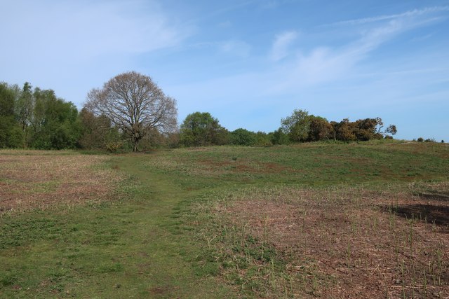
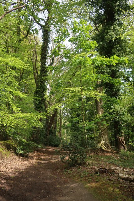
Beeston Bump is a prominent hill located in Norfolk, England. Situated near the coastal town of Sheringham, it provides visitors with stunning panoramic views of the surrounding area. Although referred to as a hill, Beeston Bump is more accurately described as a large glacial moraine, formed during the last ice age.
Standing at a height of approximately 207 feet (63 meters), the Bump is a popular destination for walkers, hikers, and nature enthusiasts. The area is home to a variety of flora and fauna, including wildflowers, grasses, and bird species such as skylarks and meadow pipits. The hill is part of the Norfolk Coast Area of Outstanding Natural Beauty, ensuring its preservation and protection.
At the summit, visitors are treated to breathtaking views of the North Sea, Sheringham town, and the surrounding countryside, including the nearby Beeston Priory and Sheringham Park. On clear days, one can even catch a glimpse of the distant wind turbines out at sea.
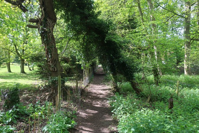
Access to Beeston Bump is relatively easy, with a footpath leading from Beeston Regis Common to the top of the hill. The path is well-maintained and suitable for all ages and fitness levels. Once at the summit, there are benches available for visitors to rest and take in the scenery.
Beeston Bump offers a tranquil escape from the hustle and bustle of daily life, providing locals and tourists alike with an opportunity to connect with nature and appreciate the unique beauty of the Norfolk coastline.
If you have any feedback on the listing, please let us know in the comments section below.
Beeston Bump Images
Images are sourced within 2km of 52.943231/1.2250137 or Grid Reference TG1643. Thanks to Geograph Open Source API. All images are credited.


Beeston Bump is located at Grid Ref: TG1643 (Lat: 52.943231, Lng: 1.2250137)
Administrative County: Norfolk
District: North Norfolk
Police Authority: Norfolk
What 3 Words
///uncle.summaries.streaking. Near Sheringham, Norfolk
Nearby Locations
Related Wikis
Beeston Cliffs
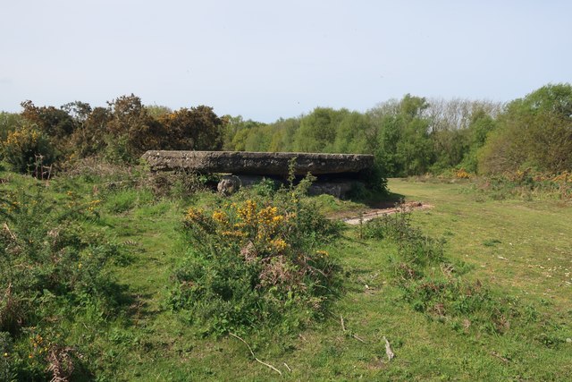
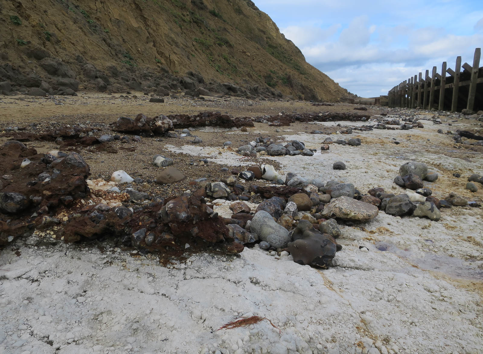
Beeston Cliffs is a 10.3-hectare (25-acre) biological and geological Site of Special Scientific Interest in Sheringham in Norfolk. It is a Geological Conservation...
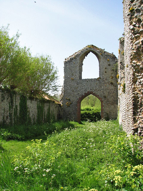
Priory of St Mary in the Meadow, Beeston Regis
The Priory of St Mary in the Meadow, also known as Beeston Priory is a former Augustinian Priory, located in the village of Beeston Regis, Norfolk, United...

Beeston Beck (Norfolk)
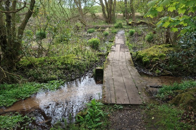
Beeston Beck is a minor watercourse in the north of the county of Norfolk, England. == Sources == This small short Beck rises from series of springs that...
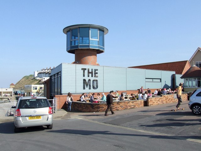
The Mo Sheringham Museum
Sheringham Museum at the Mo is a museum in the town of Sheringham, Norfolk, England. The current museum opened in April 2010 and rehoused the former collection...

Sheringham
Sheringham (; population 7,367) is a seaside town and civil parish in the county of Norfolk, England. The motto of the town, granted in 1953 to the Sheringham...

Beeston Hall School
Beeston Hall School is an independent day and boarding preparatory school for boys and girls in the village of Beeston Regis, Norfolk, England. Founded...

Sheringham Little Theatre
Sheringham Little Theatre is a theatre in Sheringham, Norfolk, England. It stages live theatre and music, and film screenings. == History == The building...
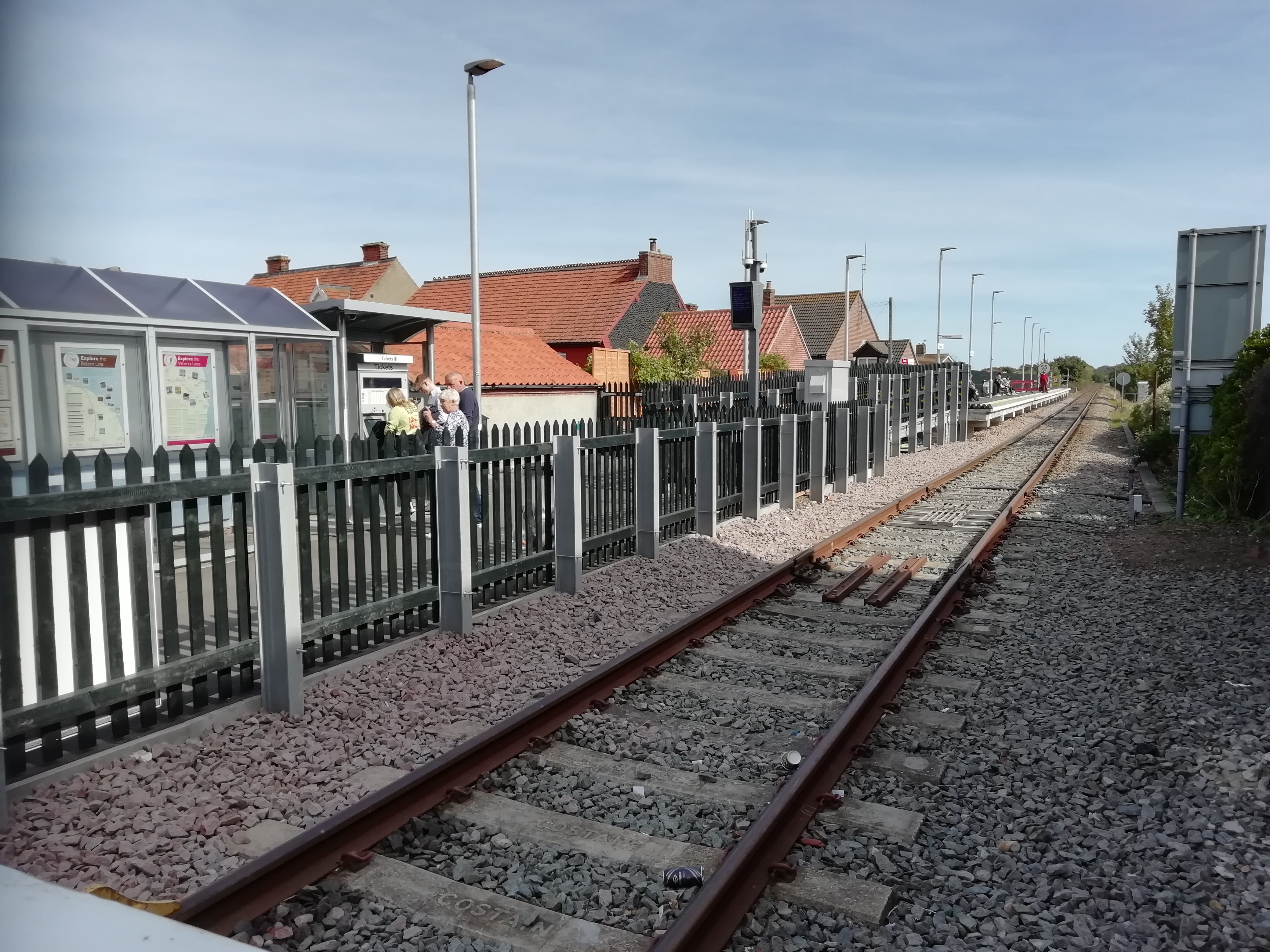
Sheringham railway station
Sheringham railway station is the northern terminus of the Bittern Line in Norfolk, England, serving the town of Sheringham. It is 30 miles 22 chains...
Nearby Amenities
Located within 500m of 52.943231,1.2250137Have you been to Beeston Bump?
Leave your review of Beeston Bump below (or comments, questions and feedback).