Broom Hill
Hill, Mountain in Suffolk Mid Suffolk
England
Broom Hill

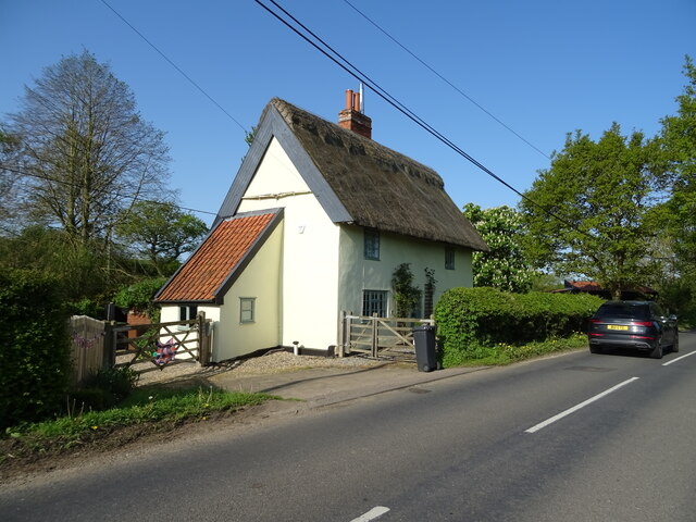
Broom Hill is a picturesque hill located in the county of Suffolk, England. Situated near the village of Broom, it is part of the wider natural landscape of the Suffolk countryside. Despite its name, Broom Hill is not a mountain but rather a gently sloping hill, offering visitors a serene and idyllic setting.
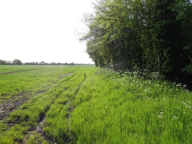
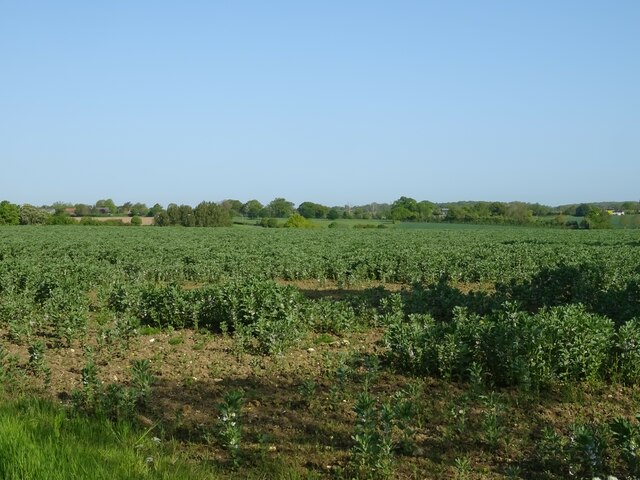
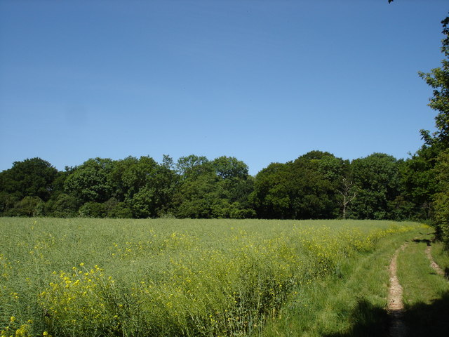
The hill itself is characterized by its lush greenery and rolling meadows, which provide a haven for a variety of plant and animal species. Broom Hill is particularly known for its diverse range of wildflowers, creating a vibrant and colorful display during the spring and summer months.
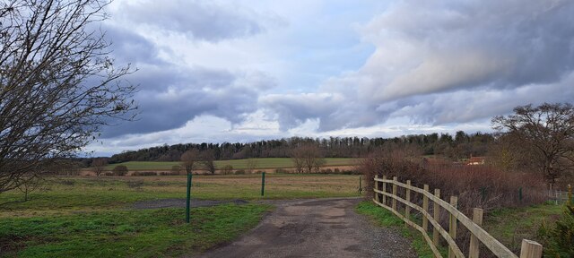
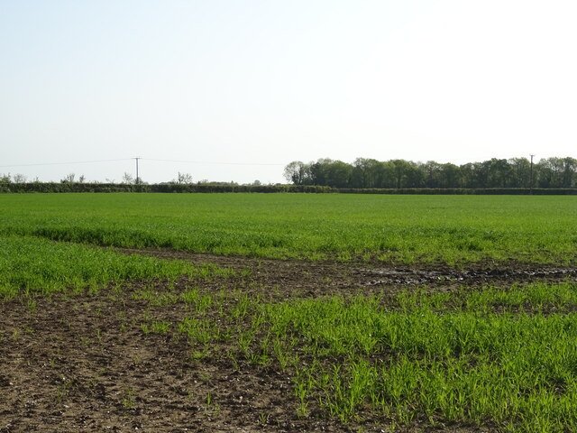
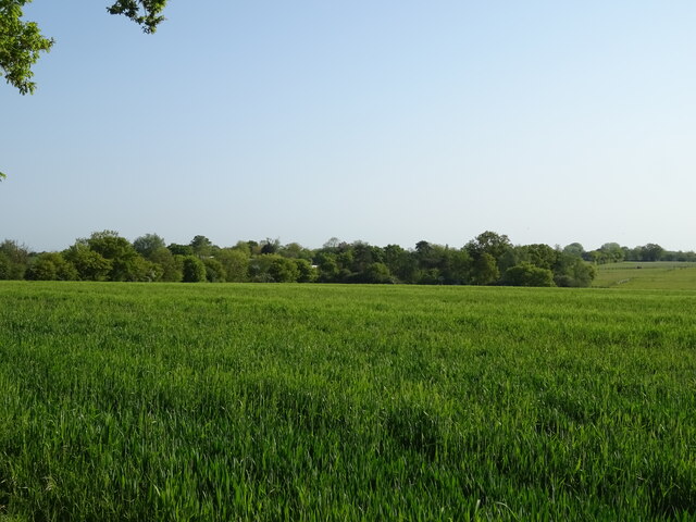
At the summit of Broom Hill, visitors can enjoy panoramic views of the surrounding countryside, with its patchwork fields and quaint villages dotting the landscape. On a clear day, one can even catch a glimpse of the distant coastline, adding to the hill's charm and appeal.
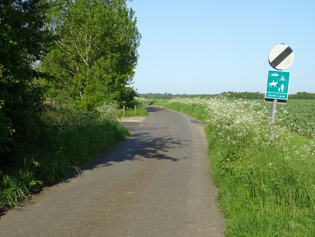
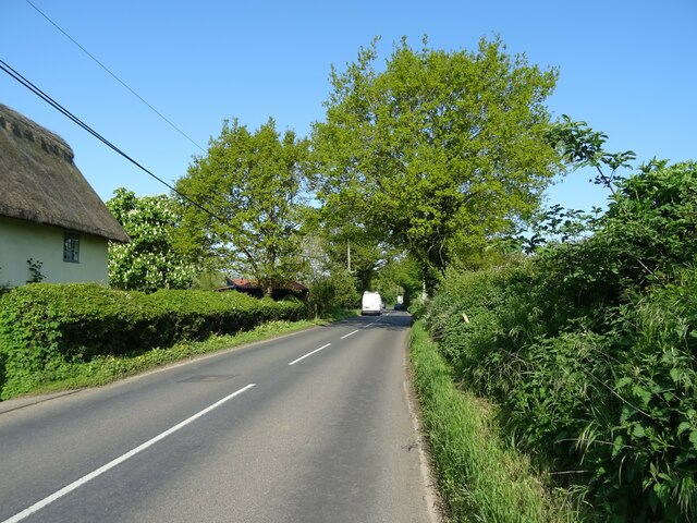
The hill is a popular spot for outdoor enthusiasts, offering ample opportunities for walking, hiking, and picnicking. The tranquil atmosphere and stunning vistas make it an ideal destination for those seeking a peaceful retreat or a place to reconnect with nature.
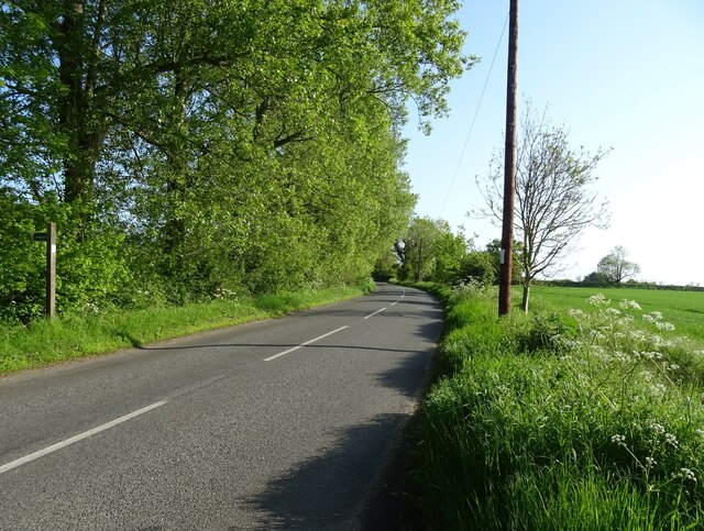
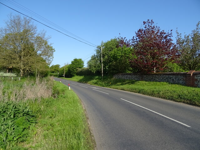
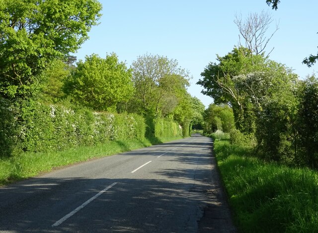
Broom Hill is easily accessible by car, with nearby parking facilities available. Alternatively, it can be reached by foot, with various footpaths and trails leading up to the summit. Whether visitors are looking for a leisurely stroll or a more challenging hike, Broom Hill has something to offer for everyone.
Overall, Broom Hill is a hidden gem in the Suffolk countryside, providing a serene and picturesque escape for nature lovers and outdoor enthusiasts alike.
If you have any feedback on the listing, please let us know in the comments section below.
Broom Hill Images
Images are sourced within 2km of 52.143519/1.1226275 or Grid Reference TM1354. Thanks to Geograph Open Source API. All images are credited.


Broom Hill is located at Grid Ref: TM1354 (Lat: 52.143519, Lng: 1.1226275)
Administrative County: Suffolk
District: Mid Suffolk
Police Authority: Suffolk
What 3 Words
///direct.march.enough. Near Claydon, Suffolk
Nearby Locations
Related Wikis
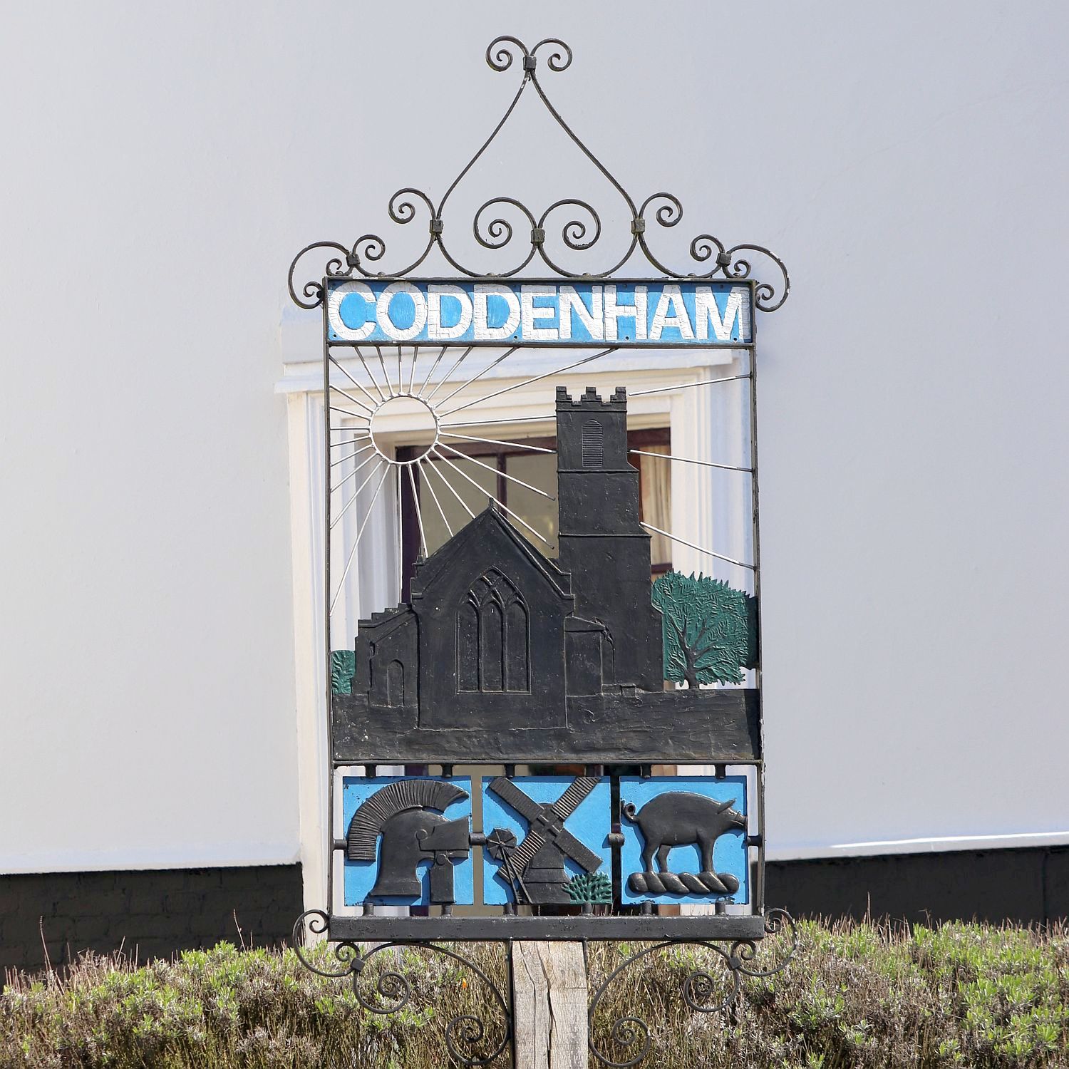
Coddenham
Coddenham is a village and civil parish in the Mid Suffolk district of Suffolk in eastern England. Located to the north of the A14 road, 8 miles north...
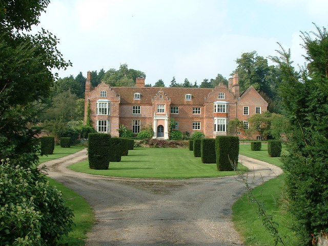
Hemingstone Hall
Hemingstone Hall is a Jacobean manor house in Hemingstone close to Ipswich in Suffolk, England. It was built in the early 17th Century, around 1625, for...

Shrubland Hall Anglo-Saxon cemetery
Shrubland Hall Anglo-Saxon cemetery is a 7th-century Anglo-Saxon burial site discovered at Shrubland Hall Quarry near Coddenham, Suffolk. The cemetery...

Bosmere and Claydon Rural District
Bosmere and Claydon Rural District was a rural district within the administrative county of East Suffolk between 1894 and 1934. It was created out of the...
Hemingstone
Hemingstone is a village and civil parish in the Mid Suffolk district of Suffolk in eastern England located 6.5 miles (11 km) north of Ipswich. Hemingstone...
Bosmere and Claydon Hundred
Bosmere and Claydon was a hundred of Suffolk, consisting of 31,850 acres (128.9 km2).The hundred is a fertile and picturesque district varying from 8 to...
Gosbeck Wood
Gosbeck Wood is a 22.8-hectare (56-acre) biological Site of Special Scientific Interest east of Needham Market in Suffolk.This is an ancient coppice with...

Shrubland Hall
Shrubland Hall, Coddenham, Suffolk, is a historic English country house with planned gardens in Suffolk, England, built in the 1770s. The Hall was used...
Nearby Amenities
Located within 500m of 52.143519,1.1226275Have you been to Broom Hill?
Leave your review of Broom Hill below (or comments, questions and feedback).