Bard Hill
Hill, Mountain in Norfolk North Norfolk
England
Bard Hill

Bard Hill is a prominent hill located in the county of Norfolk, England. Situated in the eastern part of the country, it forms part of the scenic landscape of this region. Rising to a height of approximately 137 meters (450 feet) above sea level, Bard Hill offers stunning panoramic views of the surrounding countryside.
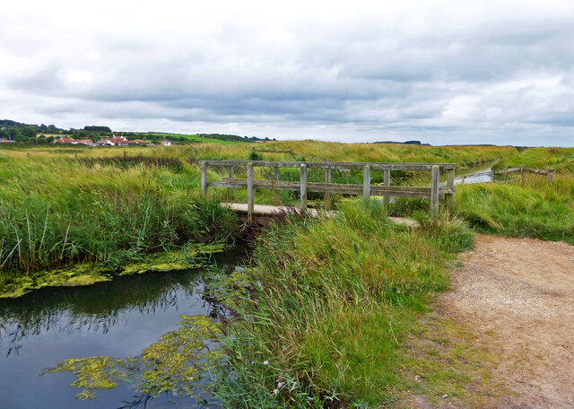
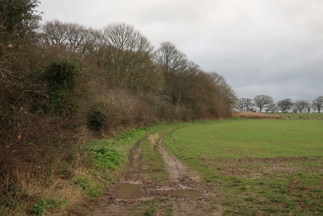
The hill is characterized by its gentle slopes and verdant greenery, making it a popular destination for nature enthusiasts and hikers alike. Its summit provides an ideal vantage point to admire the picturesque Norfolk countryside, with its patchwork fields, meandering rivers, and charming rural villages.
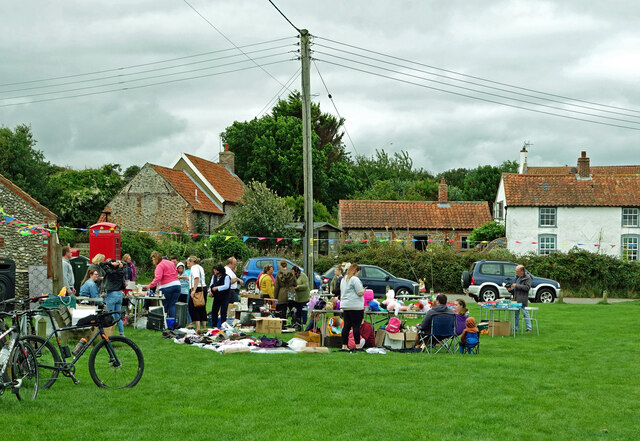
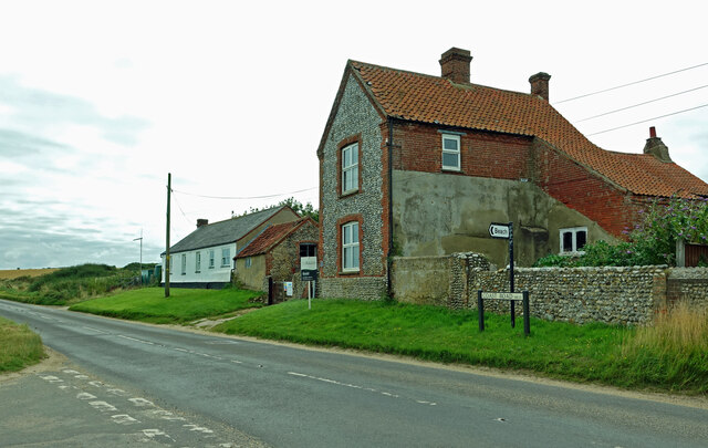
Bard Hill is home to a diverse range of flora and fauna, including various species of wildflowers, birds, and small mammals. The area surrounding the hill is primarily agricultural, with fields of crops and grazing livestock contributing to the bucolic charm of the landscape.
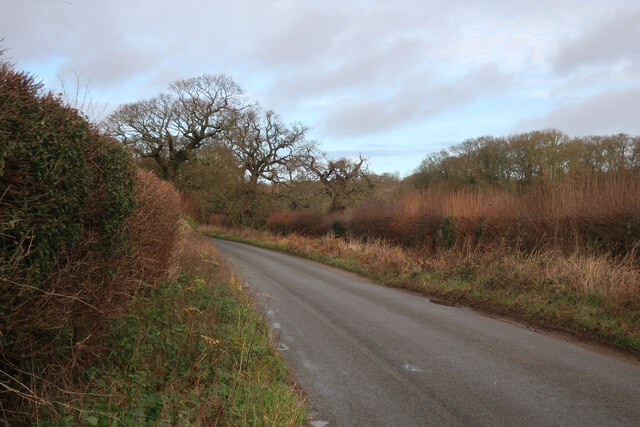
The hill is easily accessible, with several footpaths and trails leading to its summit. These pathways are well-maintained, allowing visitors to enjoy a leisurely stroll or a challenging hike, depending on their preference. Along the way, visitors may encounter ancient hedgerows, quaint farmhouses, and perhaps catch a glimpse of local wildlife.
Bard Hill is not only a natural landmark but also holds historical significance. The hill has remained relatively untouched for centuries, and archaeological finds in the surrounding area indicate human activity dating back to prehistoric times.
Overall, Bard Hill in Norfolk offers both natural beauty and a glimpse into the region's rich history, making it a must-visit destination for those seeking to explore the charms of this part of England.
If you have any feedback on the listing, please let us know in the comments section below.
Bard Hill Images
Images are sourced within 2km of 52.944404/1.081601 or Grid Reference TG0743. Thanks to Geograph Open Source API. All images are credited.


Bard Hill is located at Grid Ref: TG0743 (Lat: 52.944404, Lng: 1.081601)
Administrative County: Norfolk
District: North Norfolk
Police Authority: Norfolk
What 3 Words
///brush.awoke.incisions. Near Sheringham, Norfolk
Nearby Locations
Related Wikis
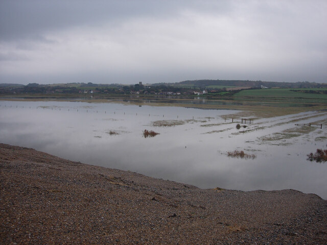
Salthouse
Salthouse is a village and a civil parish in the English county of Norfolk. It is situated on the salt marshes of North Norfolk. It is 3.8 miles (6.1 km...

Salthouse Marshes
Salthouse Marshes is a 66-hectare (160-acre) nature reserve west of Sheringham in Norfolk. It is managed by the Norfolk Wildlife Trust. It is part of...
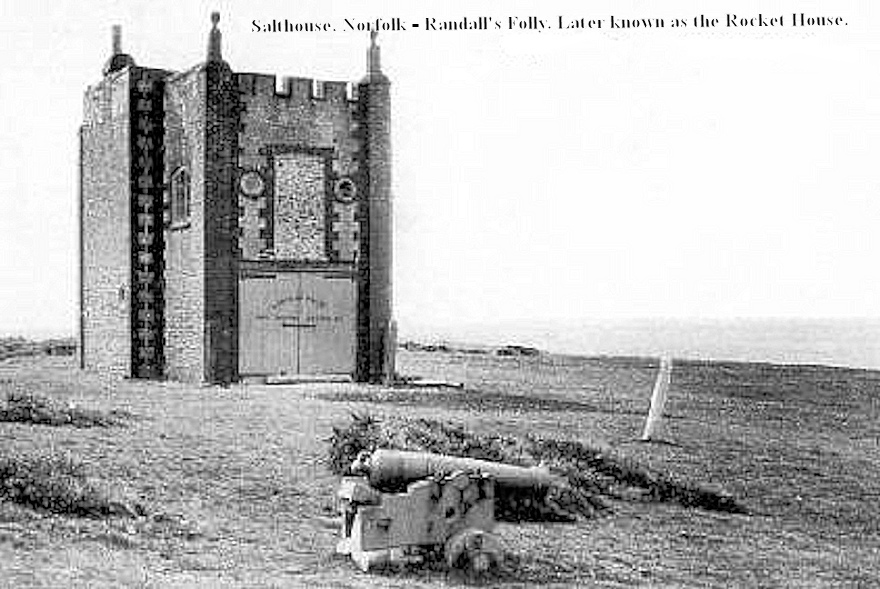
Randall's Folly
Randall's Folly was a building on the coast at Salthouse, Norfolk, England. No trace of it remains, largely because of coastal erosion.Although called...
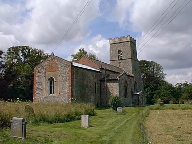
Kelling
Kelling (also known as Low Kelling and as Lower Kelling) is a village and a civil parish in the English county of Norfolk. The village is 10.1 miles...
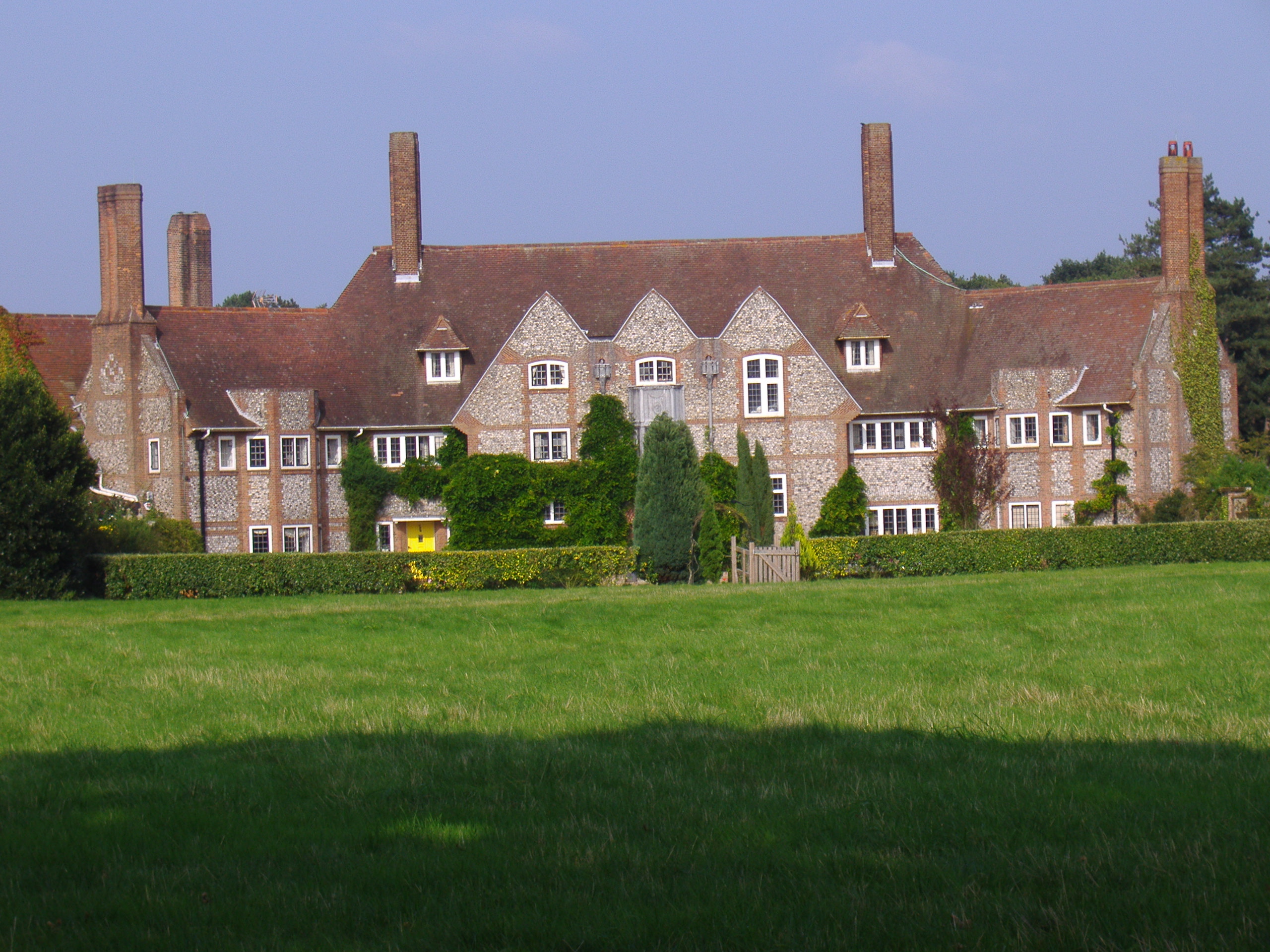
Kelling Hall
Kelling Hall is a Grade II* listed building situated in the civil parish of Kelling in the English county of Norfolk. It is 0.7 miles from the parish of...
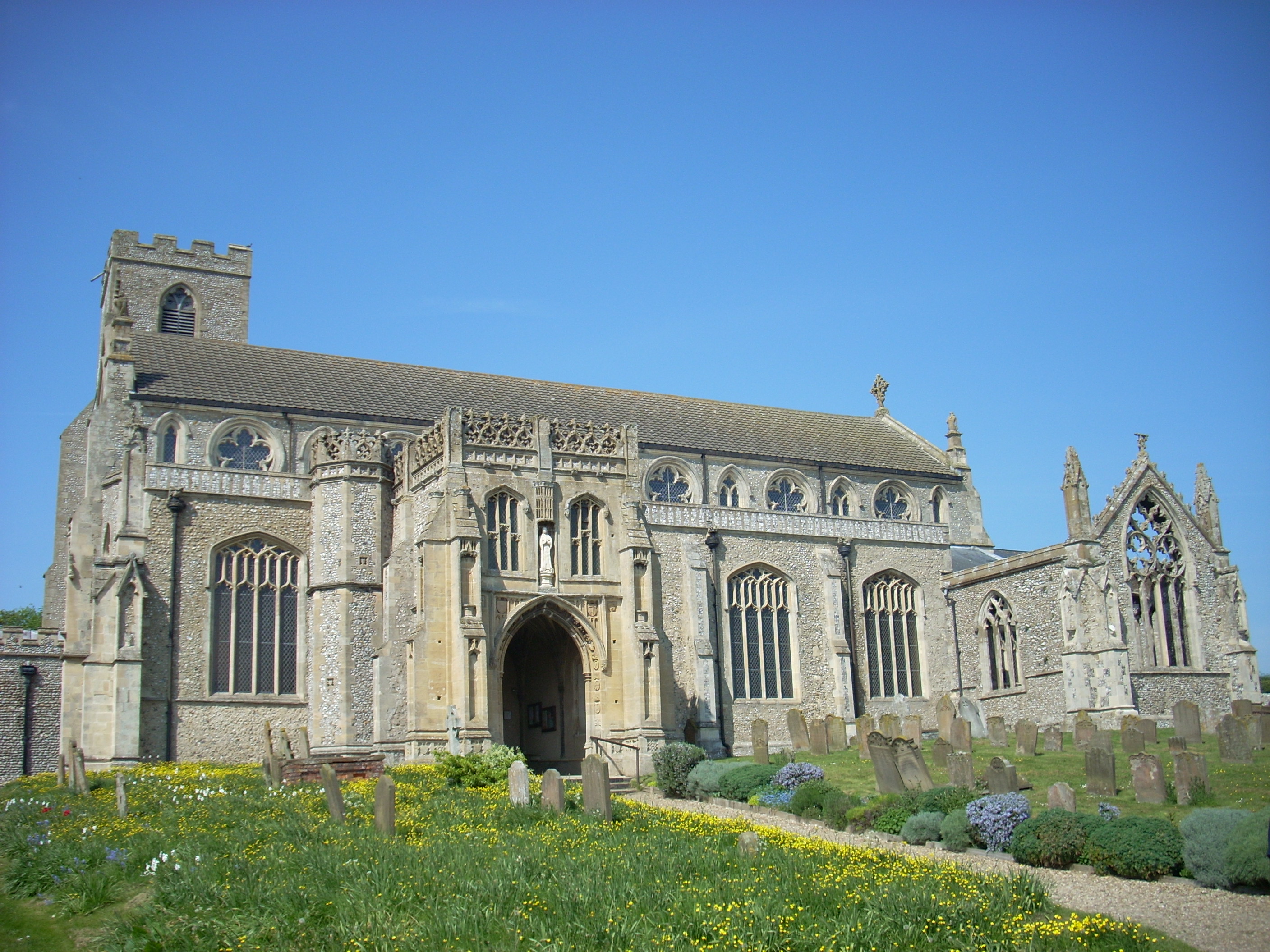
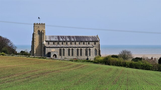
St Margaret's, Cley
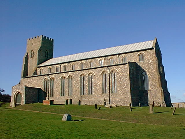
St Margaret's is the Anglican parish church of Cley next the Sea, Norfolk, in the deanery of Holt, the Archdeaconry of Lynn and the Diocese of Norwich...

Cley Marshes
Cley Marshes is a 176-hectare (430-acre) nature reserve on the North Sea coast of England just outside the village of Cley next the Sea, Norfolk. A reserve...

Glandford (Hurdle Lane)
Glandford (Hurdle Lane) is a 9.4-hectare (23-acre) geological Site of Special Scientific Interest west of Sheringham in Norfolk. It is a Geological Conservation...
Related Videos
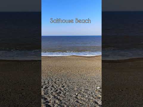
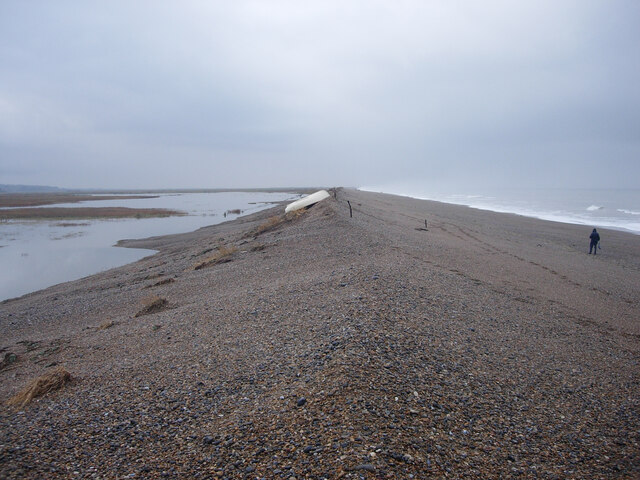
A sunny day at Salthouse Beach
Calm seas at the pebble beach at Salthouse on the beautiful North Norfolk coast in England.
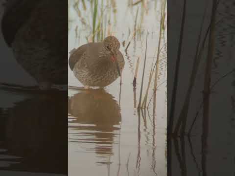
A delightful Redshank calmly searches for food
This female Redshank (Tringa totanus) had just copulated prior to going off looking for food. I wonder if this is the equivalent of a ...
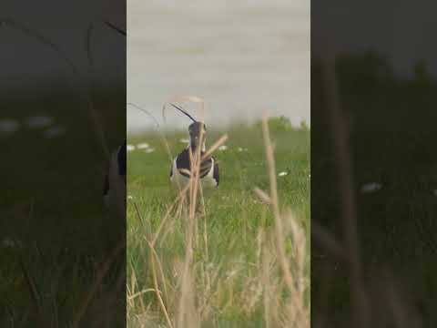
A handsome Lapwing displays his finery in the wind
A nice Lapwing searching for food on the edge of a pool, with his crest blowing in the wind. This delightful wader's numbers have ...

Norfolk Coastal Path Episode 12: Cley Marshes to Salthouse
Strolling and rambling along the Norfolk Coastal Path! Episode 12 of my walking challenge from Cley Marshes to Salthouse.
Nearby Amenities
Located within 500m of 52.944404,1.081601Have you been to Bard Hill?
Leave your review of Bard Hill below (or comments, questions and feedback).