Barrow Hill

Hill, Mountain in Suffolk Babergh

England

Barrow Hill

Lower Layham - looking towards the church
Lower Layham - looking towards the church Credit: Chris Holifield

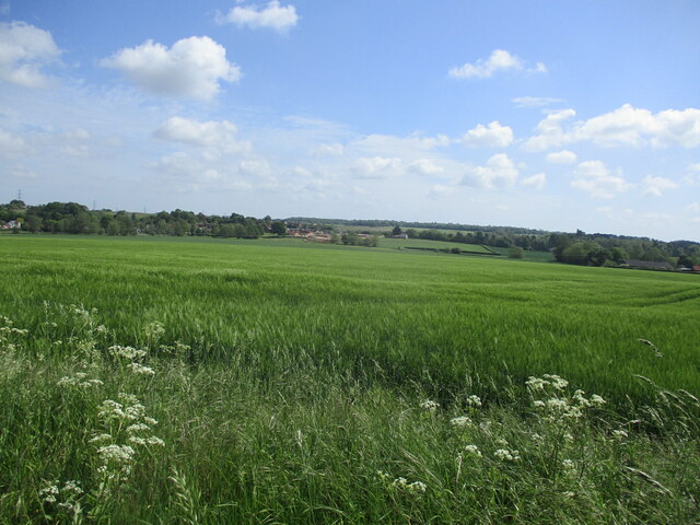
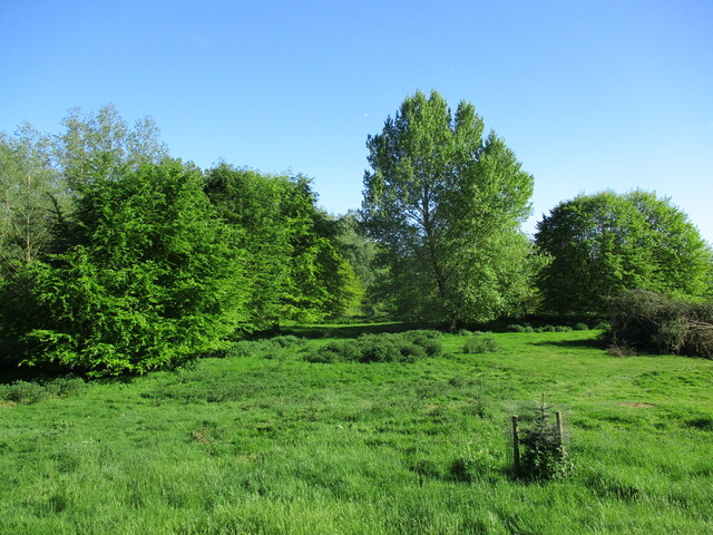
Barrow Hill is a prominent hill located in Suffolk, England. Situated in the eastern part of the county, it is renowned for its scenic beauty and historical significance. Rising to an elevation of approximately 107 meters (351 feet), Barrow Hill stands as one of the highest points in the region, providing breathtaking panoramic views of the surrounding countryside.

This hill has a rich archaeological history, with evidence of human activity dating back thousands of years. It is believed that Barrow Hill has been used as a burial site since the Neolithic period, as several barrows (prehistoric burial mounds) have been discovered on its slopes. These barrows offer insight into the ancient cultures and burial practices of the area.

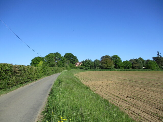
Over the years, Barrow Hill has also become a popular destination for outdoor enthusiasts and nature lovers. It is home to a diverse range of flora and fauna, including various species of birds, mammals, and wildflowers. The hill offers numerous walking trails, allowing visitors to explore its natural beauty while enjoying the tranquil atmosphere.

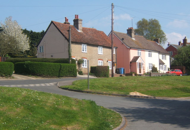
Additionally, Barrow Hill is located close to the village of Barrow, which offers amenities such as cafes, pubs, and local shops. This makes it an ideal place for tourists to relax and soak in the peaceful countryside atmosphere after exploring the hill.

Overall, Barrow Hill is a significant landmark in Suffolk, combining its historical importance, stunning views, and natural charm to create an unforgettable experience for visitors.

If you have any feedback on the listing, please let us know in the comments section below.
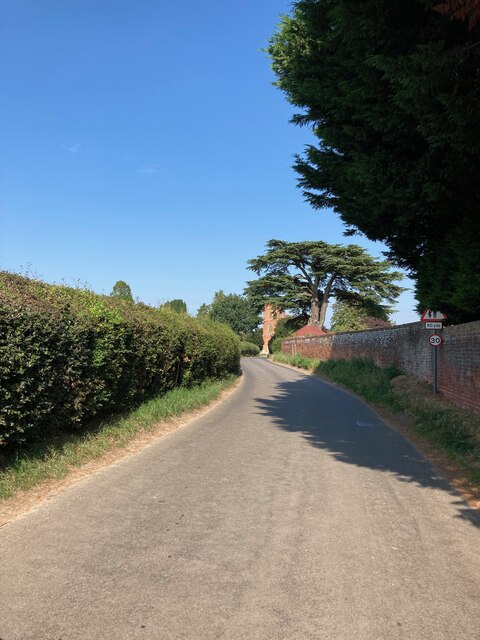
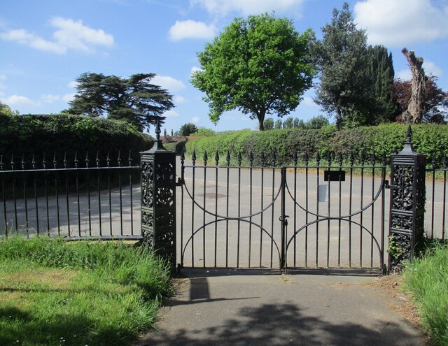
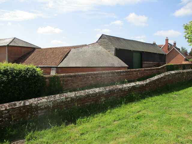
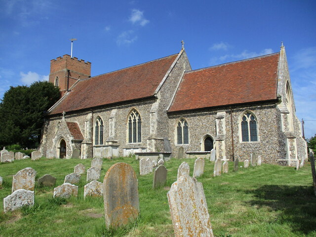
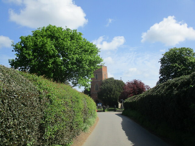
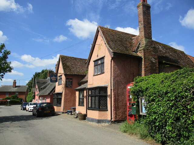
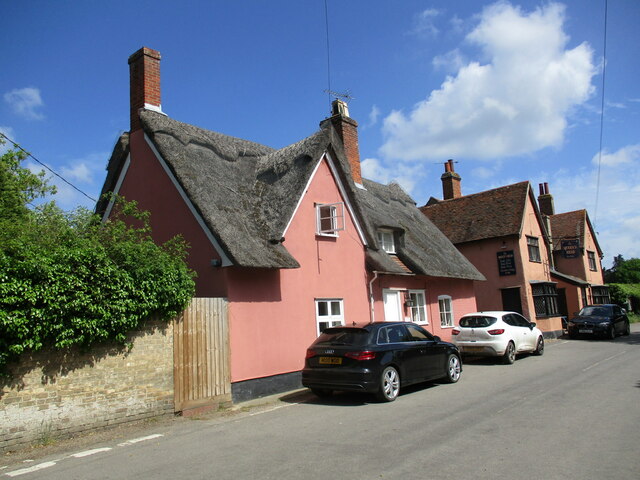
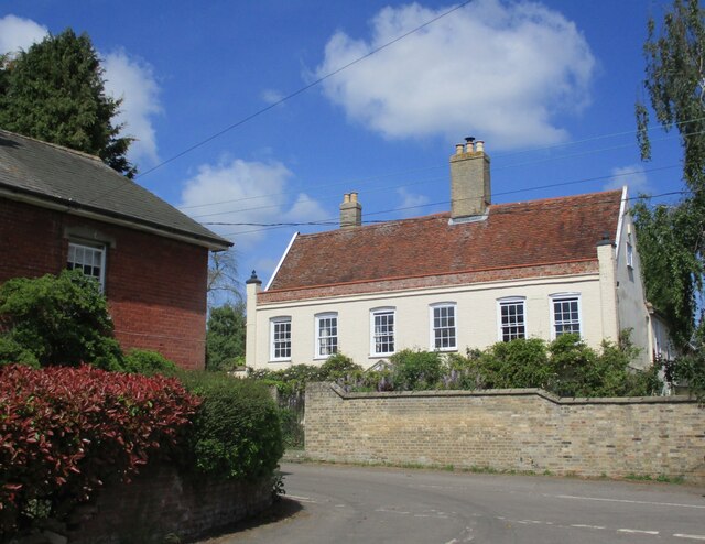
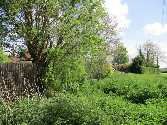
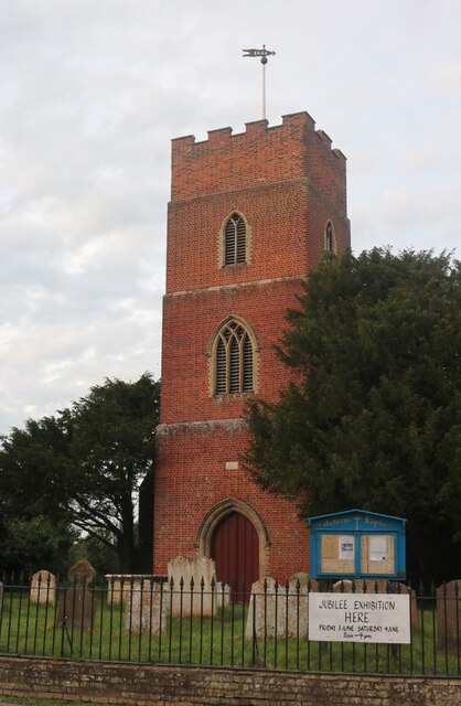
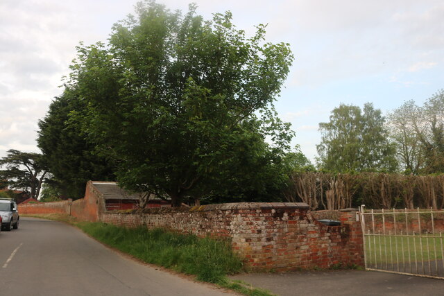
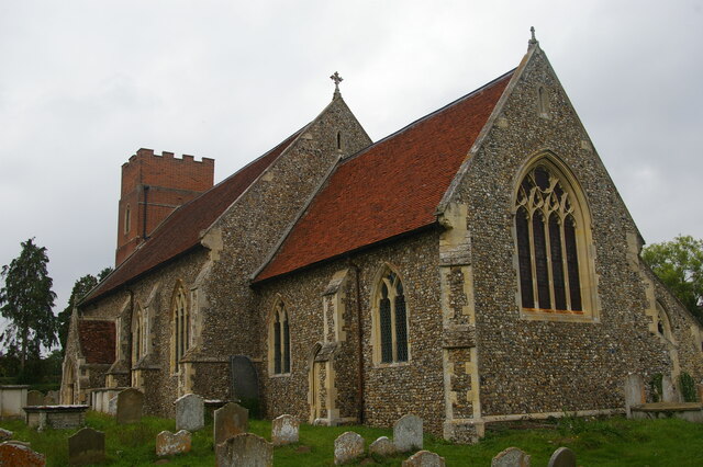
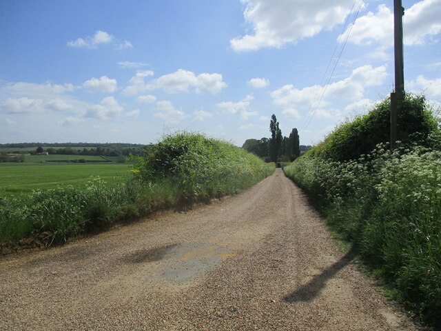
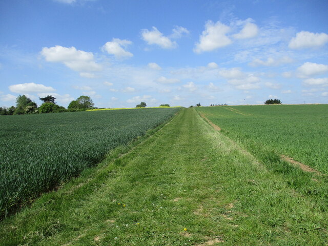
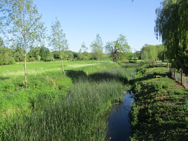
Barrow Hill Images

Images are sourced within 2km of 52.01051/0.97537578 or Grid Reference TM0438. Thanks to Geograph Open Source API. All images are credited.

Lower Layham - looking towards the church
The churchyard gates, Layham
Barns at Netherbury Hall, Lower Layham
St. Andrew's Church, Layham The tower dates from 1742. The remainder dates from about 1300 but much renewed in 1861 <span class="nowrap"><a title="https://historicengland.org.uk/listing/the-list/list-entry/1037136?section=official-list-entry" rel="nofollow ugc noopener" href="https://historicengland.org.uk/listing/the-list/list-entry/1037136?section=official-list-entry">Link</a><img style="margin-left:2px;" alt="External link" title="External link - shift click to open in new window" src="https://s1.geograph.org.uk/img/external.png" width="10" height="10"/></span>
St. Andrew's Church, Layham
The tower dates from 1742. The remainder dates from about 1300 but much renewed in 1861 LinkExternal link
The Street, Lower Layham Looking towards St. Andrew's church.
The Street, Lower Layham
Looking towards St. Andrew's church.
The Queen's Head Inn, Lower Layham Probably of medieval origin but much altered <span class="nowrap"><a title="https://historicengland.org.uk/listing/the-list/list-entry/1181827?section=official-list-entry" rel="nofollow ugc noopener" href="https://historicengland.org.uk/listing/the-list/list-entry/1181827?section=official-list-entry">Link</a><img style="margin-left:2px;" alt="External link" title="External link - shift click to open in new window" src="https://s1.geograph.org.uk/img/external.png" width="10" height="10"/></span>
The Queen's Head Inn, Lower Layham
Probably of medieval origin but much altered LinkExternal link
Layham House Cottage, Lower Layham Probably dates from the late seventeenth century <span class="nowrap"><a title="https://historicengland.org.uk/listing/the-list/list-entry/1037143?section=official-list-entry" rel="nofollow ugc noopener" href="https://historicengland.org.uk/listing/the-list/list-entry/1037143?section=official-list-entry">Link</a><img style="margin-left:2px;" alt="External link" title="External link - shift click to open in new window" src="https://s1.geograph.org.uk/img/external.png" width="10" height="10"/></span>
Layham House Cottage, Lower Layham
Probably dates from the late seventeenth century LinkExternal link
Layham House, Lower Layham Eighteenth century house <span class="nowrap"><a title="https://historicengland.org.uk/listing/the-list/list-entry/1284805?section=official-list-entry" rel="nofollow ugc noopener" href="https://historicengland.org.uk/listing/the-list/list-entry/1284805?section=official-list-entry">Link</a><img style="margin-left:2px;" alt="External link" title="External link - shift click to open in new window" src="https://s1.geograph.org.uk/img/external.png" width="10" height="10"/></span>
Layham House, Lower Layham
Eighteenth century house LinkExternal link
Overgrown stream, Lower Layham
Barley field, Lower Layham
St Andrew's Church, Layham
Stoke Road, Layham You don't often see a building ending in a wall along a road.
Stoke Road, Layham
You don't often see a building ending in a wall along a road.
St Andrew's church, Layham
Bridleway to Water House Farm
Footpath to Stoke Road
The River Brett at Shelley Bridge Looking downstream.
The River Brett at Shelley Bridge
Looking downstream.
Parkland near Shelley Hall The trees hide a moated site.
Parkland near Shelley Hall
The trees hide a moated site.
Sutton Hill
Sutton Hill
Show me another place!

Barrow Hill is located at Grid Ref: TM0438 (Lat: 52.01051, Lng: 0.97537578)

Administrative County: Suffolk

District: Babergh

Police Authority: Suffolk

What 3 Words

///folks.diplomat.snooze. Near Hadleigh, Suffolk

Nearby Locations

Barrow Hill

Related Wikis

Raydon

Raydon is a village and civil parish in Suffolk, England. Located around two miles south-east of Hadleigh, it is part of Babergh district. The parish also...

Lower Layham

Lower Layham is a small village in the civil parish of Layham, in the Babergh district, in the county of Suffolk, England. The village contains St.Andrew...

Upper Layham

Upper Layham is a village on the B1070 road, in the civil parish of Layham, in the Babergh district, in the county of Suffolk, England. Upper Layham has...

Layham

Layham is a small village and a civil parish in southern Suffolk, England, situated between the town of Hadleigh and the neighbouring village of Raydon...

Nearby Amenities

Located within 500m of 52.01051,0.97537578
Golf: tee
Lat/Long: 52.008989/0.9751642
The data included in this document is from www.openstreetmap.org. The data is made available under ODbL.

Have you been to Barrow Hill?

Leave your review of Barrow Hill below (or comments, questions and feedback).