Higham Hill

Hill, Mountain in Suffolk Babergh

England

Higham Hill

Higham Road, Higham At the junction with the B1068
Road No.C475
Higham Road, Higham Credit: Geographer

Higham Hill is a small village located in the county of Suffolk, England. Situated on a hill, it offers picturesque views of the surrounding countryside and is known for its natural beauty. The village is part of the larger town of Walthamstow, which is just a short distance away.

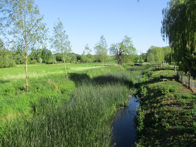
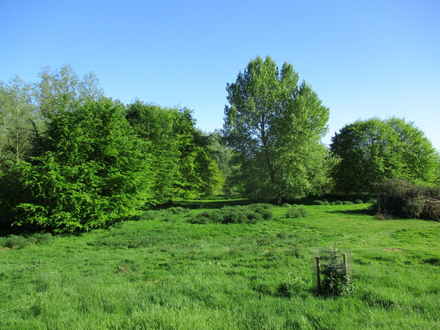
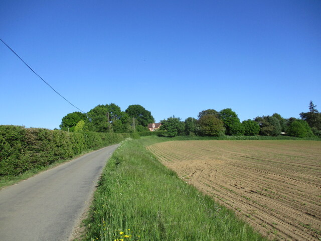
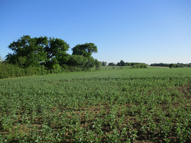
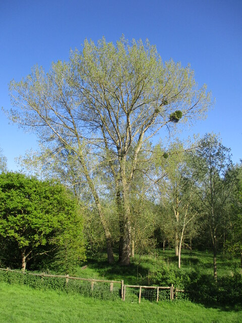
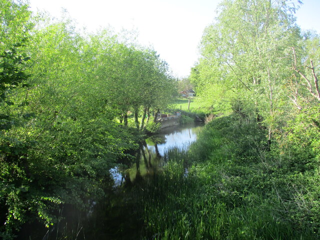
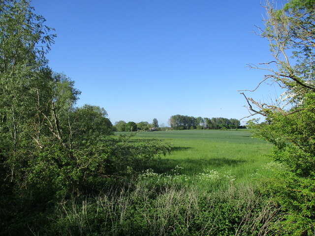
The area is characterized by its rolling hills and lush green landscapes, making it a popular destination for outdoor enthusiasts and nature lovers. Higham Hill is also home to a number of farms and agricultural land, contributing to its rural charm.

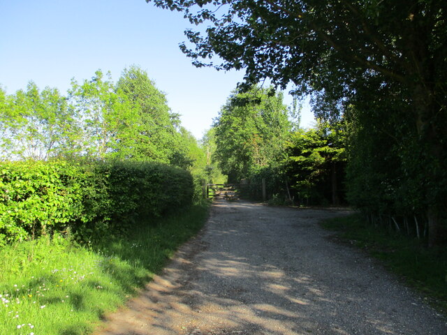
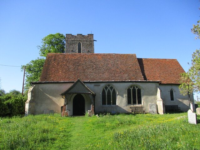
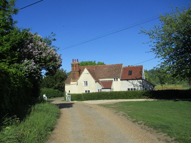
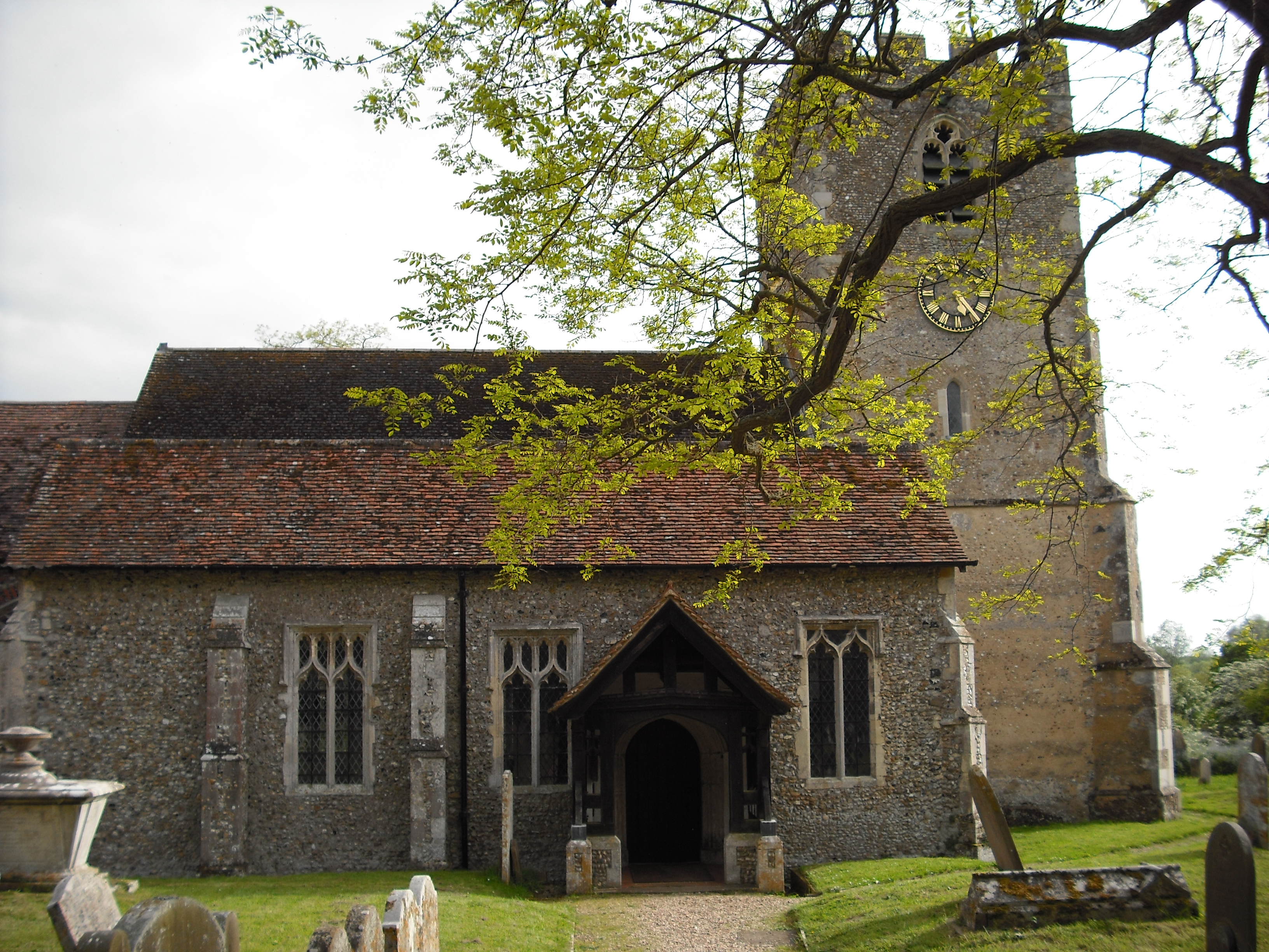
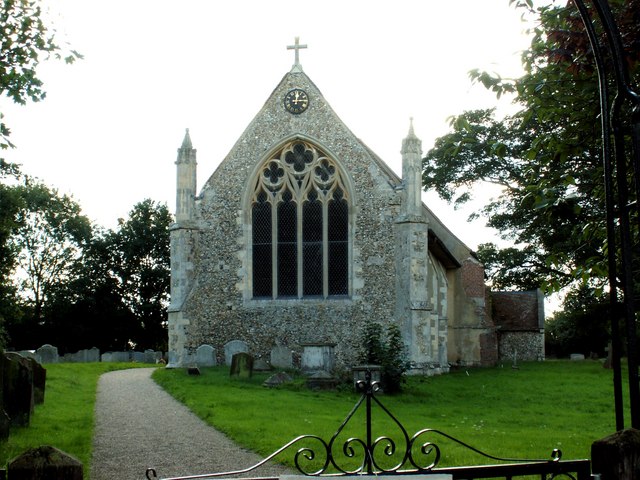
The village itself has a quaint and peaceful atmosphere, with traditional cottages and historic buildings lining the streets. It has a close-knit community, and residents take pride in maintaining its traditions and heritage. There are also a few local amenities, including a village shop and a pub, which serves as a social hub for both residents and visitors.

One of the highlights of Higham Hill is its proximity to Epping Forest, a large forest and ancient woodland that provides ample opportunities for walking, cycling, and wildlife spotting. It is also within easy reach of the popular Walthamstow Wetlands, a nature reserve known for its diverse bird population.

Higham Hill is well-connected to the rest of Suffolk and London, with regular bus services and nearby train stations providing easy access to both. Its idyllic setting, coupled with its convenient location, makes Higham Hill an attractive place to live or visit for those seeking a peaceful retreat in the heart of the English countryside.

If you have any feedback on the listing, please let us know in the comments section below.
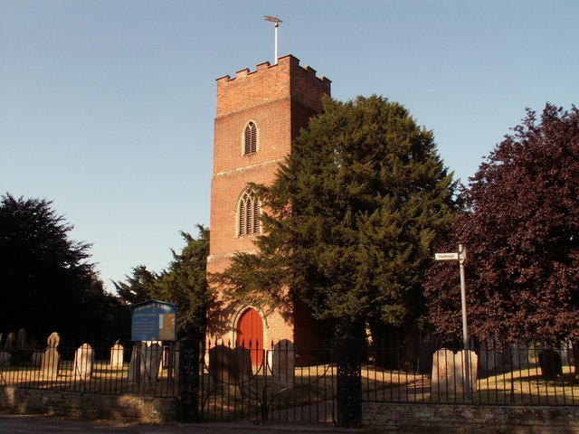
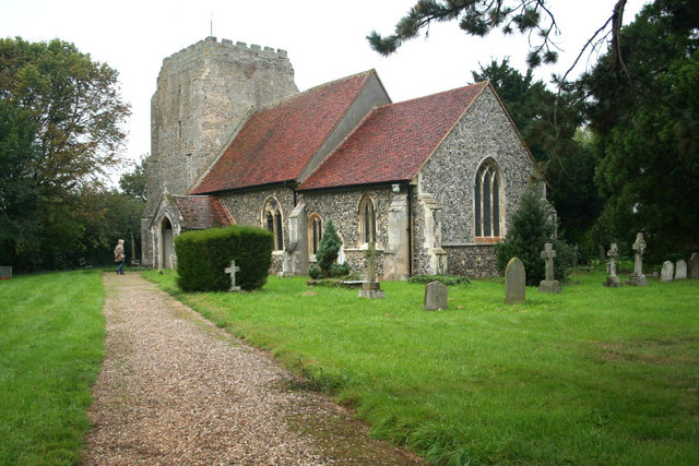
Higham Hill Images

Images are sourced within 2km of 51.998993/0.96240148 or Grid Reference TM0337. Thanks to Geograph Open Source API. All images are credited.

Higham Road, Higham At the junction with the B1068
Road No.C475
Higham Road, Higham
At the junction with the B1068 Road No.C475
B1068 at Higham At the junction with Higham Road
B1068 at Higham
At the junction with Higham Road
Higham Green Postbox & Village Notice Board On Higham Road at the junction with the B1068
Postbox No.CO7 221
Higham Green Postbox & Village Notice Board
On Higham Road at the junction with the B1068 Postbox No.CO7 221
Higham Green Postbox & Village Notice Board On Higham Road at the junction with the B1068
Road No.C475
Postbox No.CO7 221
Higham Green Postbox & Village Notice Board
On Higham Road at the junction with the B1068 Road No.C475 Postbox No.CO7 221
Higham Green Postbox On Higham Road at the junction with the B1068
Postbox No.CO7 221
Higham Green Postbox
On Higham Road at the junction with the B1068 Postbox No.CO7 221
Signpost on the B1068 Lower Street At the junction with Higham Road
Signpost on the B1068 Lower Street
At the junction with Higham Road
Higham Green Postbox On Higham Road at the junction with the B1068
Postbox No.CO7 221
Higham Green Postbox
On Higham Road at the junction with the B1068 Postbox No.CO7 221
Higham Village Notice Board On Higham Road at the junction with the B1068
Higham Village Notice Board
On Higham Road at the junction with the B1068
The River Brett at Shelley Bridge Looking downstream.
The River Brett at Shelley Bridge
Looking downstream.
Parkland near Shelley Hall The trees hide a moated site.
Parkland near Shelley Hall
The trees hide a moated site.
Sutton Hill
Sutton Hill
The beginning of a footpath to Holton St. Mary
Bean field near Holton St. Mary
All Saints' church, Shelley Largely of the fourteenth century <span class="nowrap"><a title="https://historicengland.org.uk/listing/the-list/list-entry/1351959?section=official-list-entry" rel="nofollow ugc noopener" href="https://historicengland.org.uk/listing/the-list/list-entry/1351959?section=official-list-entry">Link</a><img style="margin-left:2px;" alt="External link" title="External link - shift click to open in new window" src="https://s1.geograph.org.uk/img/external.png" width="10" height="10"/></span>
All Saints' church, Shelley
Largely of the fourteenth century LinkExternal link
Shelley Lodge Fifteenth century cottage with later extensions <span class="nowrap"><a title="https://historicengland.org.uk/listing/the-list/list-entry/1033382?section=official-list-entry" rel="nofollow ugc noopener" href="https://historicengland.org.uk/listing/the-list/list-entry/1033382?section=official-list-entry">Link</a><img style="margin-left:2px;" alt="External link" title="External link - shift click to open in new window" src="https://s1.geograph.org.uk/img/external.png" width="10" height="10"/></span>
Shelley Lodge
Fifteenth century cottage with later extensions LinkExternal link
Tree with mistletoe, Shelley Mistletoe is uncommon in Eastern England. My casual observation suggests that most occurrences are in the grounds of country estates, which suggests it may have been deliberately introduced.
Tree with mistletoe, Shelley
Mistletoe is uncommon in Eastern England. My casual observation suggests that most occurrences are in the grounds of country estates, which suggests it may have been deliberately introduced.
The River Brett at Shelley Bridge Looking upstream.
The River Brett at Shelley Bridge
Looking upstream.
Fields close to Shelley Bridge Most of the parish of Shelley lies to the west of the River Brett. This small area is the only part that lies to the east.
Fields close to Shelley Bridge
Most of the parish of Shelley lies to the west of the River Brett. This small area is the only part that lies to the east.
Show me another place!

Higham Hill is located at Grid Ref: TM0337 (Lat: 51.998993, Lng: 0.96240148)

Administrative County: Suffolk

District: Babergh

Police Authority: Suffolk

What 3 Words

///failed.firepower.subjects. Near East Bergholt, Suffolk

Nearby Locations

Higham Hill

Related Wikis

Shelley, Suffolk

Shelley is a small village and civil parish in Suffolk, England. Located on the west bank of the River Brett around three miles south of Hadleigh, it is...

Giffords Hall, Stoke-by-Nayland

Giffords Hall (also called Gifford's Hall) is a Tudor manor house near Stoke-by-Nayland in Suffolk, England. It was described by Nikolaus Pevsner as “one...

Higham, Babergh

Higham is a village and civil parish in Suffolk, England. Located on the eastern bank of the River Brett (which defines the parish's western boundary)...

Raydon

Raydon is a village and civil parish in Suffolk, England. Located around two miles south-east of Hadleigh, it is part of Babergh district. The parish also...

River Brett

The River Brett is a river in Suffolk, England. Its source is in the villages to the north of Lavenham and it flows through Hadleigh to its confluence...

Withermarsh Green

Withermarsh Green is a village in the civil parish of Stoke-by-Nayland, in the Babergh district, in the county of Suffolk, England. It is located near...

Lower Layham

Lower Layham is a small village in the civil parish of Layham, in the Babergh district, in the county of Suffolk, England. The village contains St.Andrew...

Holton St Mary

Holton St Mary is a village and civil parish in Suffolk, England. Located on the B1070 around five miles south-west of Ipswich and half a mile from the...

Nearby Amenities

Located within 500m of 51.998993,0.96240148
Bus Stop
Fox Wood Corner
Naptan AtcoCode: 390010371
Naptan Bearing: W
Naptan BusStopType: CUS
Naptan CommonName: Fox Wood Corner
Naptan Indicator: adj
Naptan Landmark: Fox Wood Corner
Naptan NaptanCode: sufagamw
Naptan Street: Sulleys Hill
Naptan Verified: no
Source: naptan_import
Lat/Long: 52.0030549/0.9636108
Bus Stop
Fox Wood Corner
Naptan AtcoCode: 390010372
Naptan Bearing: E
Naptan BusStopType: CUS
Naptan CommonName: Fox Wood Corner
Naptan Indicator: opp
Naptan Landmark: Fox Wood Corner
Naptan NaptanCode: sufagapa
Naptan Street: Sulleys Hill
Naptan Verified: no
Source: naptan_import
Lat/Long: 52.0031428/0.9636895
Post Box
Ref: IP7 1414
Lat/Long: 52.0018221/0.9678209
The data included in this document is from www.openstreetmap.org. The data is made available under ODbL.

Have you been to Higham Hill?

Leave your review of Higham Hill below (or comments, questions and feedback).