Church Hill

Hill, Mountain in Essex Colchester

England

Church Hill

Sheep and buttercups Sheep grazing in a field by Haye Lane.
Sheep and buttercups Credit: Trevor Harris

Church Hill is a prominent geographical feature located in the county of Essex, England. Situated in the southeastern part of the county, Church Hill is a hill/mountain that offers breathtaking views of the surrounding countryside. With an elevation of approximately 200 meters above sea level, it stands as one of the highest points in Essex.

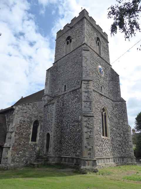
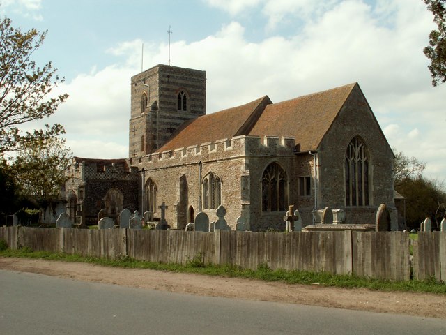
The hill is named after the nearby Church of St. Mary the Virgin, which dates back to the medieval period. The church is a significant landmark, known for its architectural beauty and historical importance. Its proximity to Church Hill adds to the charm of the area, attracting visitors and locals alike.

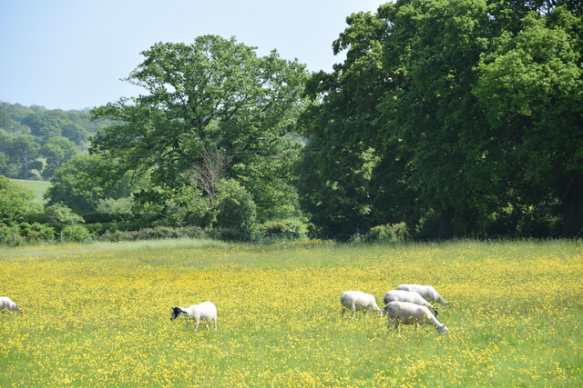
The landscape surrounding Church Hill is characterized by rolling hills, verdant meadows, and picturesque farmland. The hill itself is covered in lush vegetation, including grasses, wildflowers, and scattered trees. These natural elements contribute to the area's scenic beauty, making it an ideal spot for nature enthusiasts and hikers.

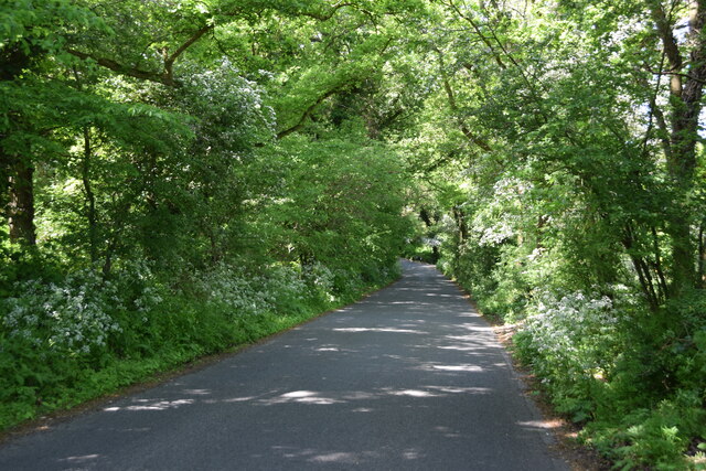
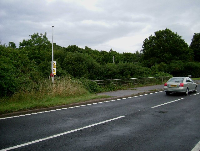
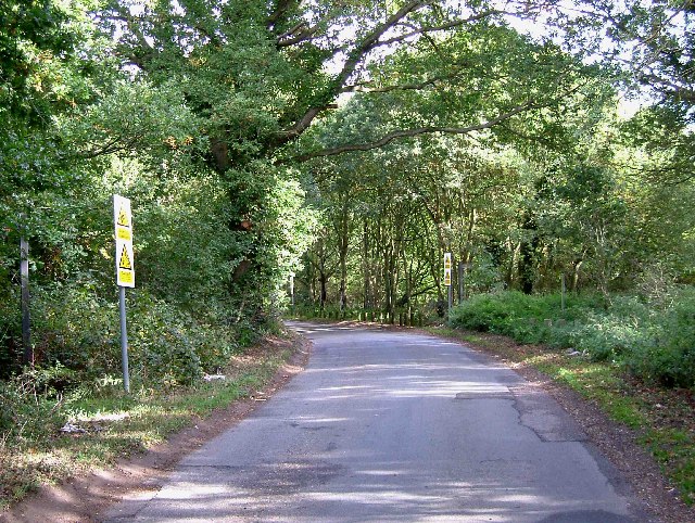
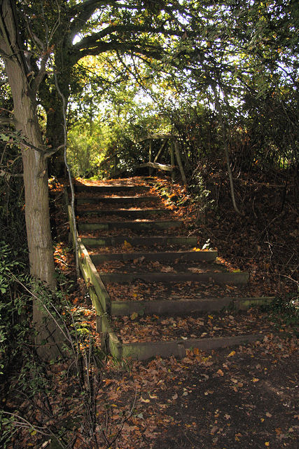
Church Hill offers various walking trails and paths that allow visitors to explore the area. These trails showcase the diverse flora and fauna of the region, providing a tranquil and peaceful setting for outdoor activities. The hill's elevation also makes it an excellent vantage point for panoramic views of the surrounding countryside, with distant towns and villages visible on clear days.

Overall, Church Hill, Essex is a captivating destination that combines natural beauty, historical significance, and recreational opportunities. Whether one wishes to admire the stunning views, immerse themselves in nature, or explore local heritage, Church Hill offers a memorable experience for all who visit.

If you have any feedback on the listing, please let us know in the comments section below.
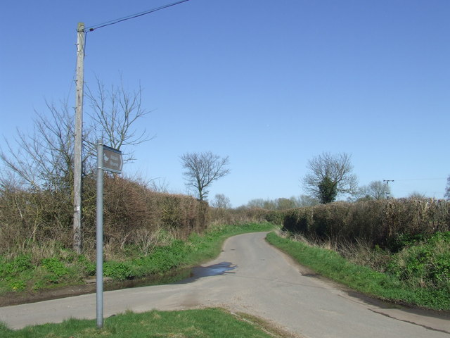
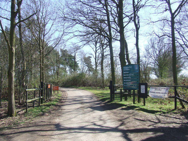
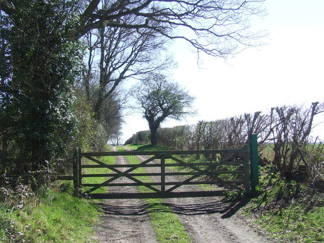
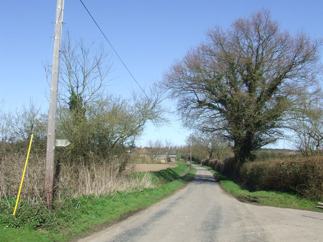
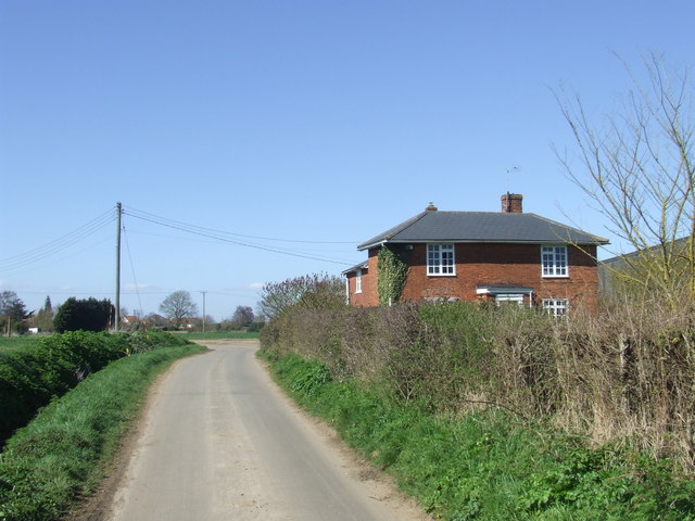
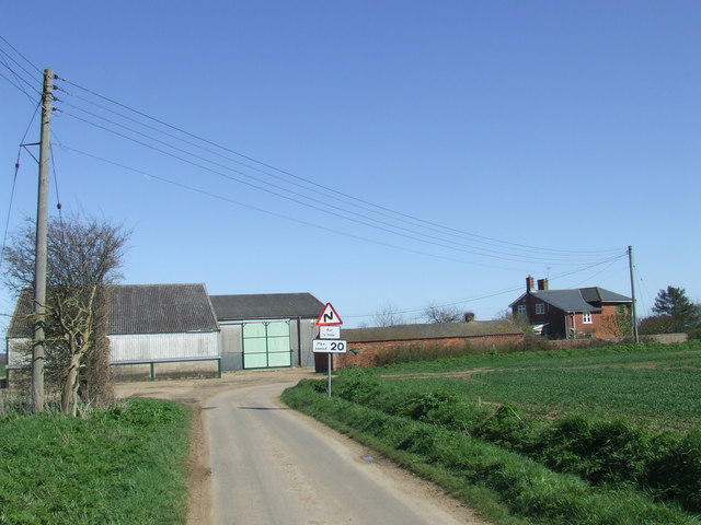
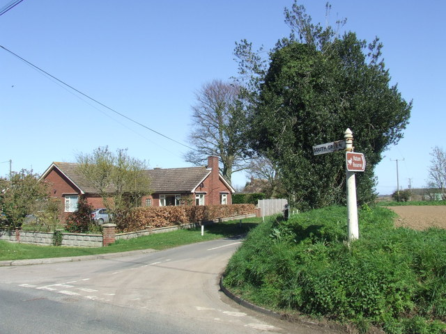
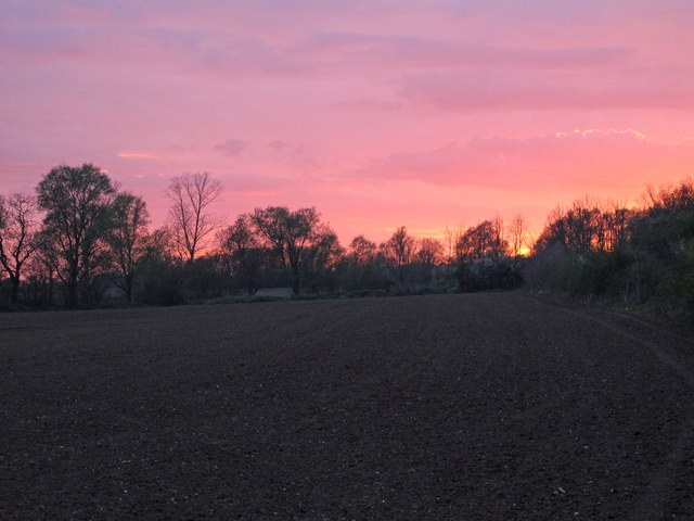
Church Hill Images

Images are sourced within 2km of 51.851368/0.94351311 or Grid Reference TM0221. Thanks to Geograph Open Source API. All images are credited.

Sheep and buttercups Sheep grazing in a field by Haye Lane.
Sheep and buttercups
Sheep grazing in a field by Haye Lane.
Wivenhoe, St Mary the Virgin
Haye Lane, Abberton A lane north of the village of Abberton.
Haye Lane, Abberton
A lane north of the village of Abberton.
Furneaux Lane near Fingringhoe Furneaux Lane passes through a sand and gravel pit.  Looking at the map, it appears that the road has recently been rerouted.  This image shows a new section of the road.
Furneaux Lane near Fingringhoe
Furneaux Lane passes through a sand and gravel pit. Looking at the map, it appears that the road has recently been rerouted. This image shows a new section of the road.
Country lane near Fingringhoe, Essex The signpost points to a nature reserve at the far end of this country lane.
Country lane near Fingringhoe, Essex
The signpost points to a nature reserve at the far end of this country lane.
Fingringhoe Wick Nature Reserve, Essex The entrance gates to the nature reserve at Fingringhoe Wick.

The nature reserve is managed by the Essex Wildlife Trust.  More information is available here: <span class="nowrap"><a title="http://www.essexwt.org.uk/reserves/fingringhoe-wick" rel="nofollow ugc noopener" href="http://www.essexwt.org.uk/reserves/fingringhoe-wick">Link</a><img style="margin-left:2px;" alt="External link" title="External link - shift click to open in new window" src="https://s1.geograph.org.uk/img/external.png" width="10" height="10"/></span>
Fingringhoe Wick Nature Reserve, Essex
The entrance gates to the nature reserve at Fingringhoe Wick. The nature reserve is managed by the Essex Wildlife Trust. More information is available here: LinkExternal link
Gated track near Fingringhoe
South Green Road near Fingringhoe, Essex South Green Road is a quiet lane in a rural part of Essex.
South Green Road near Fingringhoe, Essex
South Green Road is a quiet lane in a rural part of Essex.
South Green Road near Fingringhoe, Essex South Green Road is a lane on a rural part of Essex.  Here it passes a farmhouse.
South Green Road near Fingringhoe, Essex
South Green Road is a lane on a rural part of Essex. Here it passes a farmhouse.
Plane Hall Farm near Fingringhoe, Essex Plane Hall Farm is in a rural part of Essex.
Plane Hall Farm near Fingringhoe, Essex
Plane Hall Farm is in a rural part of Essex.
South Green Road, near Fingringhoe
Red sky over arable land View over arable field, near South House Farm, just before sunset.
Red sky over arable land
View over arable field, near South House Farm, just before sunset.
Rowhedge Quay The quay on the River Colne is no longer in use. The photo was taken from Wivenhoe, on the opposite bank.
Rowhedge Quay
The quay on the River Colne is no longer in use. The photo was taken from Wivenhoe, on the opposite bank.
Flagpole by Manwood Bridge The flagpole flies a red flag when the middlewick range <a href="https://www.geograph.org.uk/gridref/TM0022">TM0022</a> is in use. Enter the woods at your peril. Manwood bridge carries the B1025  over Roman River.
Flagpole by Manwood Bridge
The flagpole flies a red flag when the middlewick range TM0022 is in use. Enter the woods at your peril. Manwood bridge carries the B1025 over Roman River.
Mill on Roman River The mill has been recently restored
Mill on Roman River
The mill has been recently restored
The Whalebone & St Andrews Yet another excellent chance to get some good beer & grub after church! It is now thought the bone that was dug up in the 19th century that gave the pub its name was in fact a woolly mammoth bone. The bone on the pub sign is relatively modern.
The Whalebone & St Andrews
Yet another excellent chance to get some good beer & grub after church! It is now thought the bone that was dug up in the 19th century that gave the pub its name was in fact a woolly mammoth bone. The bone on the pub sign is relatively modern.
South Green This unusual house in South Green has its own look out tower with commanding views across the River Colne to the west and the Pyfleet Channel and Mersea Island to the South. The water in the road is from a burst water main, the locals have been moaning to Anglian Water about it since May, hardly an encouragement to save water is it?
South Green
This unusual house in South Green has its own look out tower with commanding views across the River Colne to the west and the Pyfleet Channel and Mersea Island to the South. The water in the road is from a burst water main, the locals have been moaning to Anglian Water about it since May, hardly an encouragement to save water is it?
Weir Lane Weir Lane runs from the B1025 Near Blackheath Colchester to Donnyland Heath near Rowhedge. The lane passes through the danger area of the Middlewick Rifle Range <a href="https://www.geograph.org.uk/gridref/TM0022">TM0022</a>. When the range is in use the road is closed with gates at each end. The yellow signs beside the footpath fingerposts warn of the fatal consequences of interfering with any military debris you may find on the army’s grounds. The picture was taken looking towards Rowhedge.
Weir Lane
Weir Lane runs from the B1025 Near Blackheath Colchester to Donnyland Heath near Rowhedge. The lane passes through the danger area of the Middlewick Rifle Range TM0022. When the range is in use the road is closed with gates at each end. The yellow signs beside the footpath fingerposts warn of the fatal consequences of interfering with any military debris you may find on the army’s grounds. The picture was taken looking towards Rowhedge.
Show me another place!

Church Hill is located at Grid Ref: TM0221 (Lat: 51.851368, Lng: 0.94351311)

Administrative County: Essex

District: Colchester

Police Authority: Essex

What 3 Words

///aside.boom.sums. Near Rowhedge, Essex

Related Wikis

East Donyland

East Donyland is a civil parish in the City of Colchester district of Essex, England. The civil parish includes the village of Rowhedge. The parish touches...

Rowhedge

Rowhedge is a village in the Colchester borough of Essex, England. It is located just over 3 miles (4.8 km) south-east of Colchester town centre and is...
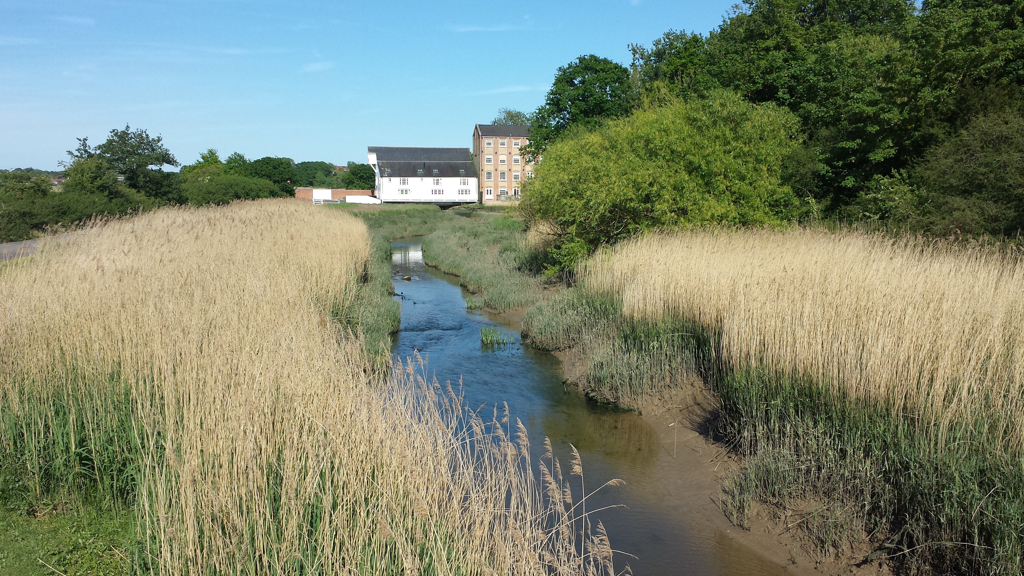
Roman River

The Roman River is a river that flows entirely through the English county of Essex. It is a tributary of the River Colne, flowing into its tidal estuary...
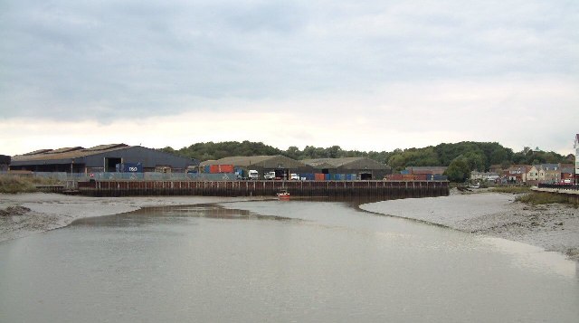
Rowhedge Ironworks

Rowhedge Ironworks was a shipyard situated on the River Colne, and in the village of Rowhedge, in the English county of Essex. It existed from 1904 to...

Fingringhoe

Fingringhoe is a village and civil parish in the City of Colchester district of Essex, England. The centre of the village is classified as a conservation...

Wivenhoe railway station

Wivenhoe railway station is on the Sunshine Coast Line, a branch of the Great Eastern Main Line, in the East of England, serving the small town of Wivenhoe...

Donyland Lodge

Donyland Lodge was an independent school in Rowhedge, Colchester in the United Kingdom The school catered for children with complex behavioural, social...
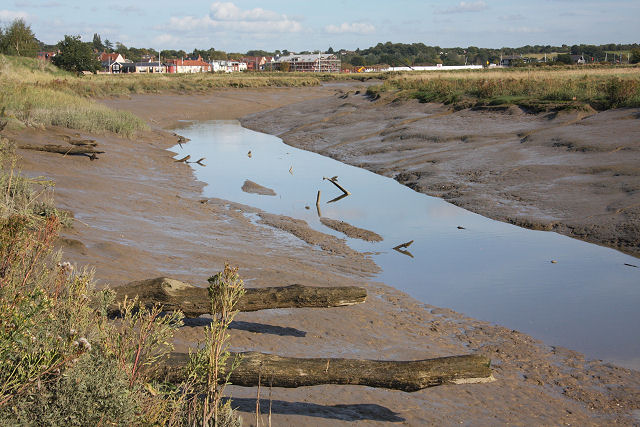
Upper Colne Marshes

Upper Colne Marshes is a 114.1-hectare (282-acre) biological Site of Special Scientific Interest south and west of Wivenhoe in Essex. It lies along stretches...

Nearby Amenities

Located within 500m of 51.851368,0.94351311
Power: pole
Lat/Long: 51.8497272/0.9464416
Power: pole
Lat/Long: 51.8503469/0.9472811
Power: pole
Lat/Long: 51.8509914/0.9481019
Power: pole
Lat/Long: 51.8516309/0.9489736
Power: pole
Lat/Long: 51.8517958/0.9498493
Generator Method: photovoltaic
Generator Output Electricity: yes
Generator Source: solar
Generator Type: solar_photovoltaic_panel
Location: roof
Power: generator
Lat/Long: 51.8547406/0.9481207
Generator Method: photovoltaic
Generator Output Electricity: yes
Generator Source: solar
Generator Type: solar_photovoltaic_panel
Location: roof
Power: generator
Lat/Long: 51.8548433/0.9466374
Generator Method: photovoltaic
Generator Output Electricity: yes
Generator Source: solar
Generator Type: solar_photovoltaic_panel
Location: roof
Power: generator
Lat/Long: 51.855342/0.9468332
Generator Method: photovoltaic
Generator Output Electricity: yes
Generator Source: solar
Generator Type: solar_photovoltaic_panel
Location: roof
Power: generator
Lat/Long: 51.8552426/0.9468573
Generator Method: photovoltaic
Generator Output Electricity: yes
Generator Source: solar
Generator Type: solar_photovoltaic_panel
Location: roof
Power: generator
Lat/Long: 51.8552294/0.9469324
Generator Method: photovoltaic
Generator Output Electricity: yes
Generator Source: solar
Generator Type: solar_photovoltaic_panel
Location: roof
Power: generator
Lat/Long: 51.8543629/0.9457362
Generator Method: photovoltaic
Generator Output Electricity: yes
Generator Source: solar
Generator Type: solar_photovoltaic_panel
Location: roof
Power: generator
Lat/Long: 51.8549593/0.9452668
Generator Method: photovoltaic
Generator Output Electricity: yes
Generator Source: solar
Generator Type: solar_photovoltaic_panel
Location: roof
Power: generator
Lat/Long: 51.8549543/0.9450254
Generator Method: photovoltaic
Generator Output Electricity: yes
Generator Source: solar
Generator Type: solar_photovoltaic_panel
Location: roof
Power: generator
Lat/Long: 51.8546876/0.9446713
Generator Method: photovoltaic
Generator Output Electricity: yes
Generator Source: solar
Generator Type: solar_photovoltaic_panel
Location: roof
Power: generator
Lat/Long: 51.8558456/0.9440571
Generator Method: photovoltaic
Generator Output Electricity: yes
Generator Source: solar
Generator Type: solar_photovoltaic_panel
Location: roof
Power: generator
Lat/Long: 51.8558175/0.9439874
Generator Method: photovoltaic
Generator Output Electricity: yes
Generator Source: solar
Generator Type: solar_photovoltaic_panel
Location: roof
Power: generator
Lat/Long: 51.8503626/0.9426959
The data included in this document is from www.openstreetmap.org. The data is made available under ODbL.

Have you been to Church Hill?

Leave your review of Church Hill below (or comments, questions and feedback).