Bilsey Hill

Hill, Mountain in Norfolk North Norfolk

England

Bilsey Hill

Fields and small wood
Fields and small wood Credit: Hugh Venables

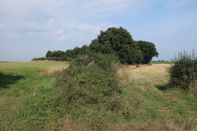
Bilsey Hill, located in the county of Norfolk, England, is a prominent hill that offers picturesque views and serves as a popular recreational site for locals and tourists alike. Despite being referred to as a hill, it is worth mentioning that Norfolk is known for its flat landscape, and Bilsey Hill is considered one of the few elevated areas in the county.

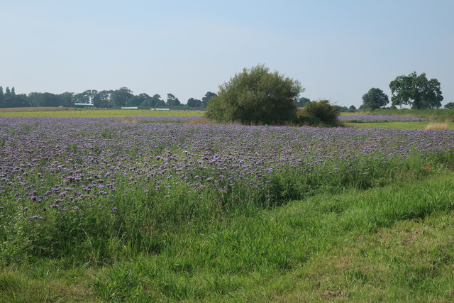
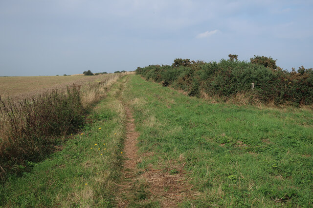
Standing at an elevation of approximately 70 meters (230 feet) above sea level, Bilsey Hill provides visitors with an opportunity to enjoy panoramic vistas of the surrounding countryside. The hill is covered in lush green grass, and its slopes are dotted with patches of wildflowers, adding to its natural charm.

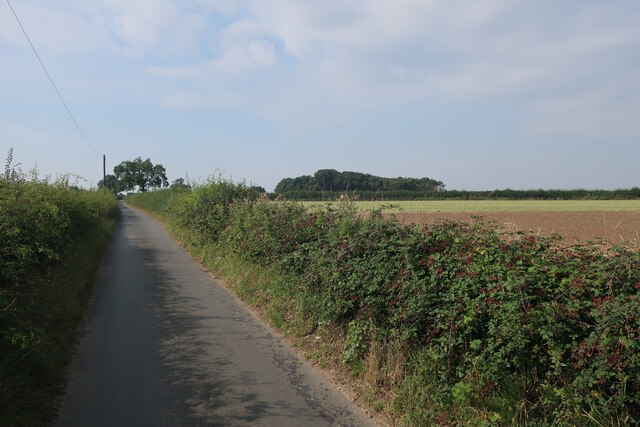
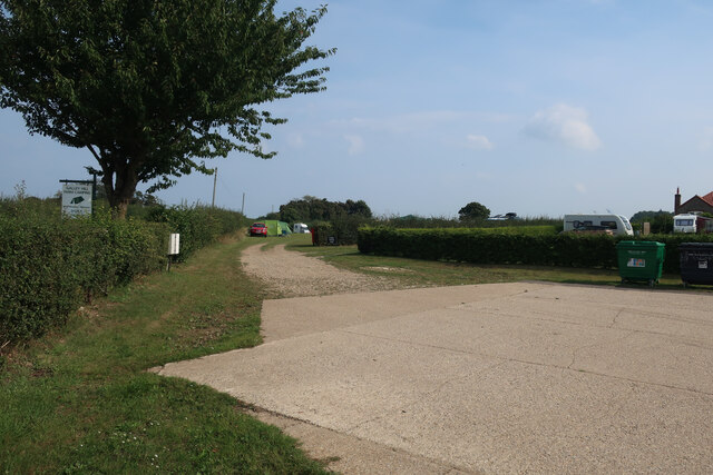
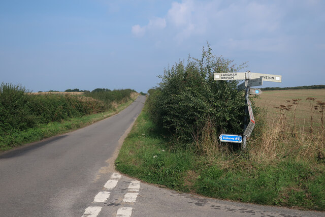
The hill is easily accessible, with a designated car park and a network of footpaths leading to its summit. These footpaths are well-maintained and cater to both walkers and hikers of varying abilities. Many visitors choose to explore the hill by foot, taking leisurely strolls or embarking on more adventurous hikes to fully immerse themselves in the tranquil and scenic surroundings.

Bilsey Hill also boasts an interesting historical significance. It is believed to have been a Bronze Age burial mound, with archaeological excavations unearthing evidence of ancient human activity in the area. This adds an air of mystery to the hill, attracting history enthusiasts and archaeology lovers.

Overall, Bilsey Hill is a natural gem in the Norfolk countryside, offering a serene retreat for those seeking a break from the hustle and bustle of everyday life. Whether it's for a leisurely walk, a family picnic, or a moment of reflection, Bilsey Hill provides a captivating experience for all who visit.

If you have any feedback on the listing, please let us know in the comments section below.
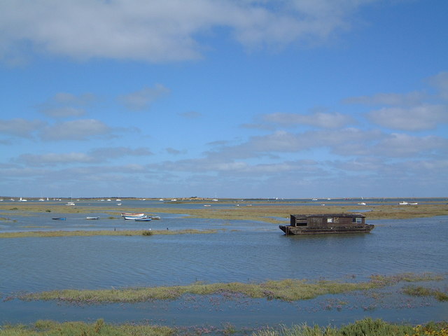
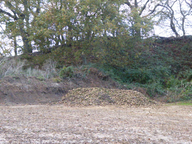
Bilsey Hill Images

Images are sourced within 2km of 52.933552/1.0057432 or Grid Reference TG0241. Thanks to Geograph Open Source API. All images are credited.

Fields and small wood
Outdoor pigs by Blakeney Long Lane
Phacelia cover crop by Blakeney Long Lane
Minor road towards Langham
Galley Hill Farm campsite
Saxlingham Road junction
Flank of Wiveton Downs Wiveton Downs is part of Blakeney Esker, a line of sediment laid down by flowing water under an ice sheet about half a million years ago and one of the best examples in the country.
Flank of Wiveton Downs
Wiveton Downs is part of Blakeney Esker, a line of sediment laid down by flowing water under an ice sheet about half a million years ago and one of the best examples in the country.
Bridleway from Wiveton Downs
Heathland restoration, Wiveton Downs The site is an esker with sand and stones deposited by water flowing under an icesheet.
Heathland restoration, Wiveton Downs
The site is an esker with sand and stones deposited by water flowing under an icesheet.
Outdoor pigs by Wiveton Down Looking down the steep side of the esker.
Outdoor pigs by Wiveton Down
Looking down the steep side of the esker.
Wiveton Downs
Wiveton Downs
Permissive bridleway Connecting to a public bridleway towards Blakeney.
Permissive bridleway
Connecting to a public bridleway towards Blakeney.
Minor road  by Wiveton Downs
Minor road by Wiveton Downs
St Andrew and St Mary's church, Langholm Description from Norfolk churches here; <span class="nowrap"><a title="http://www.norfolkchurches.co.uk/langham/langham.htm" rel="nofollow ugc noopener" href="http://www.norfolkchurches.co.uk/langham/langham.htm">Link</a><img style="margin-left:2px;" alt="External link" title="External link - shift click to open in new window" src="https://s1.geograph.org.uk/img/external.png" width="10" height="10"/></span>
St Andrew and St Mary's church, Langholm
Description from Norfolk churches here; LinkExternal link
Alexanders, Smyrnium olusatrum Every verge in Norfolk seems to have been over run by this plant, described by the Norfolk Wildlife Trust on their website as follows;  

"Alexanders is a common rather invasive, edible, flowering plant of a green-yellow colour, which is known for its rapid growth. The Mediterranean origins of Alexanders means it struggles during long hard winters, however it is currently thriving not only close to the coast, but inland too.

Conservation status

At present the plant is appearing in ever-increasing quantities. It is very aggressive and can shade out smaller vegetation. As Alexanders is Mediterranean in origin it has been found to be affected by long hard winters. Many of the plants may also be weakened by a fungus seen as orange spots on the leaves."
Alexanders, Smyrnium olusatrum
Every verge in Norfolk seems to have been over run by this plant, described by the Norfolk Wildlife Trust on their website as follows; "Alexanders is a common rather invasive, edible, flowering plant of a green-yellow colour, which is known for its rapid growth. The Mediterranean origins of Alexanders means it struggles during long hard winters, however it is currently thriving not only close to the coast, but inland too. Conservation status At present the plant is appearing in ever-increasing quantities. It is very aggressive and can shade out smaller vegetation. As Alexanders is Mediterranean in origin it has been found to be affected by long hard winters. Many of the plants may also be weakened by a fungus seen as orange spots on the leaves."
Langham Road Typical Norfolk road with verges overgrown by Alexanders, Smyrnium olusatrum, see: <a title="https://www.geograph.org.uk/photo/7471399" href="https://www.geograph.org.uk/photo/7471399">Link</a>
Langham Road
Typical Norfolk road with verges overgrown by Alexanders, Smyrnium olusatrum, see: Link
Permissive path from Glandford Part of a loop walk that goes through the Bayfield Estate, passing Natural Surroundings, which is the alternative place to park.
Permissive path from Glandford
Part of a loop walk that goes through the Bayfield Estate, passing Natural Surroundings, which is the alternative place to park.
Blakeney Esker SSSI Blakeney Esker is an nationally important geological site in north Norfolk.

The Esker was made by melt water from glaciers forming a tunnel beneath the ice and carrying large quantities of sand, gravel and flint which the glaciers had scraped out. Sediments were laid down during periods of low melting rate, leaving the features visible today. This section of the Esker is a Site of Special Scientific Interest (SSSI).

The Esker has long history of mineral extraction,  which ceased in the late 1980s. The site also provides diverse habitats for a wide range of birds, reptiles and invertebrates.
Blakeney Esker SSSI
Blakeney Esker is an nationally important geological site in north Norfolk. The Esker was made by melt water from glaciers forming a tunnel beneath the ice and carrying large quantities of sand, gravel and flint which the glaciers had scraped out. Sediments were laid down during periods of low melting rate, leaving the features visible today. This section of the Esker is a Site of Special Scientific Interest (SSSI). The Esker has long history of mineral extraction, which ceased in the late 1980s. The site also provides diverse habitats for a wide range of birds, reptiles and invertebrates.
Show me another place!

Bilsey Hill is located at Grid Ref: TG0241 (Lat: 52.933552, Lng: 1.0057432)

Administrative County: Norfolk

District: North Norfolk

Police Authority: Norfolk

What 3 Words

///cares.poppy.stealthier. Near Briston, Norfolk

Related Wikis

Bilsey Hill

Bilsey Hill is a 3-hectare (7.4-acre) geological Site of Special Scientific Interest south of Blakeney in Norfolk. It is a Geological Conservation Review...

Wiveton Downs

Wiveton Downs is a 28.9-hectare (71-acre) biological and geological Site of Special Scientific Interest at Wiveton, west of Sheringham in the English county...

Langham, Norfolk

Langham is a village and a civil parish in the English county of Norfolk. The village is 14.7 miles (23.7 km) west of Cromer, 27.2 miles (43.8 km) northwest...

North Norfolk Coast Site of Special Scientific Interest

The North Norfolk Coast Site of Special Scientific Interest (SSSI) is an area of European importance for wildlife in Norfolk, England. It comprises 7,700...

Saxlingham

Saxlingham is a village and former civil parish, now in the parish of Field Dalling, in the North Norfolk district, in the county of Norfolk, England....

Glandford (Letheringsett Road)

Glandford (Letheringsett Road) is a 1.1-hectare (2.7-acre) geological Site of Special Scientific Interest west of Sheringham in Norfolk. It is a Geological...

The Shell Museum

The Shell Museum in Glandford, Norfolk is the oldest museum in the county and holds one of the country's largest collections of sea shells. It was founded...

St Nicholas, Blakeney

St Nicholas is the Anglican parish church of Blakeney, Norfolk, in the deanery of Holt and the Diocese of Norwich. The church was founded in the 13th century...

Have you been to Bilsey Hill?

Leave your review of Bilsey Hill below (or comments, questions and feedback).