Friars' Hill
Hill, Mountain in Suffolk Babergh
England
Friars' Hill
Friars' Hill is a prominent geographical feature located in Suffolk, England. Situated near the village of Friars' Hill, this natural landmark is often referred to as both a hill and a mountain due to its considerable elevation and stunning views.
Standing at an impressive height of approximately 200 meters (656 feet) above sea level, Friars' Hill offers breathtaking panoramic vistas of the surrounding countryside. Its steep slopes are covered in lush green vegetation, providing a picturesque backdrop for the area. The hill is composed mainly of chalk and flint, adding to its distinct appearance.
One of the main attractions of Friars' Hill is the walking trail that winds its way to the summit. This trail is a favorite among locals and visitors alike, offering a moderate challenge for hikers and nature enthusiasts. The path is well-maintained and provides various viewpoints along the way, allowing walkers to appreciate the stunning landscapes and diverse wildlife that call the area home.
At the summit, visitors are rewarded with magnificent views that stretch as far as the eye can see. On clear days, it is possible to catch sight of nearby towns and villages, as well as the North Sea in the distance. The summit also offers a peaceful and serene atmosphere, making it a popular spot for picnics and relaxation.
In summary, Friars' Hill in Suffolk stands as a majestic natural landmark, offering both recreational activities and stunning views. Whether it be hiking, nature-watching, or simply appreciating the beauty of the surrounding landscape, this hill/mountain is a must-visit for those exploring the Suffolk countryside.
If you have any feedback on the listing, please let us know in the comments section below.
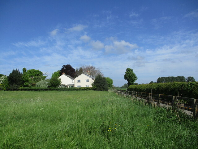
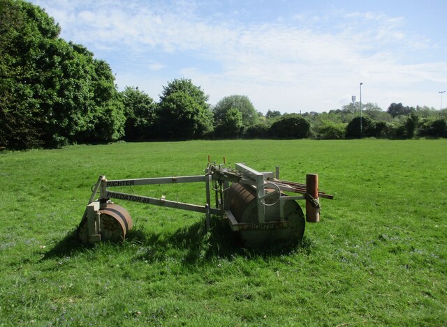
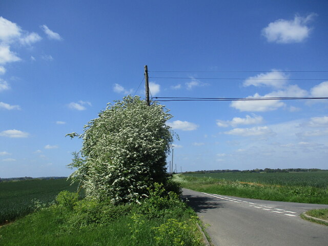
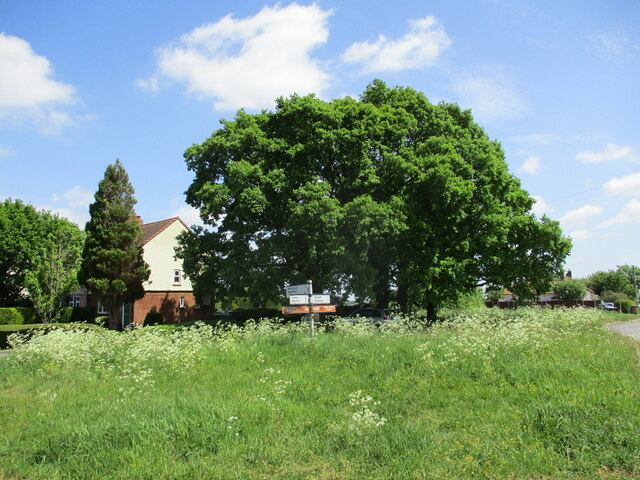
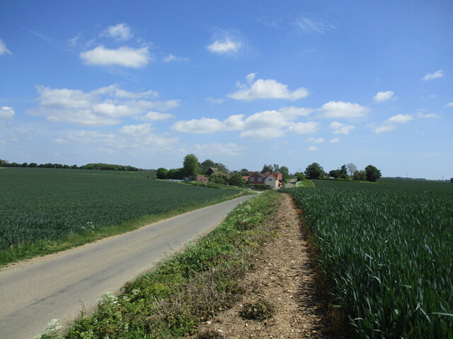
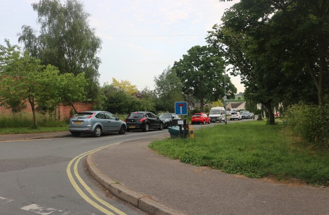
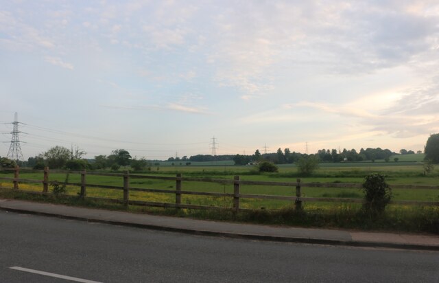
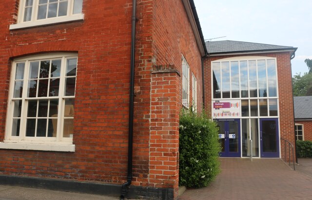
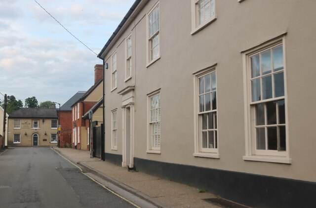
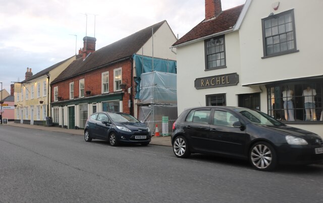
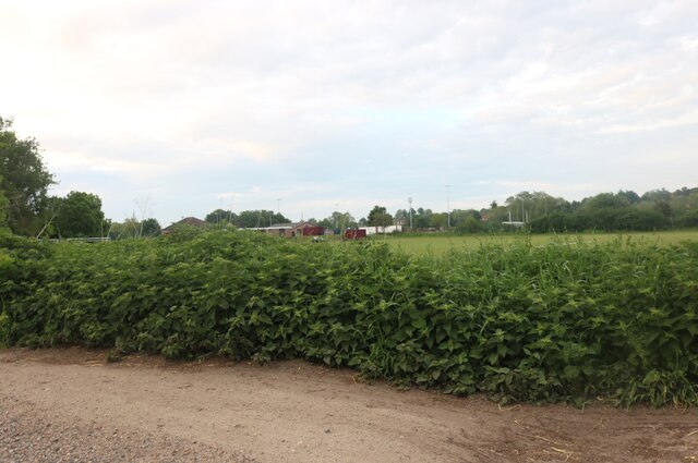
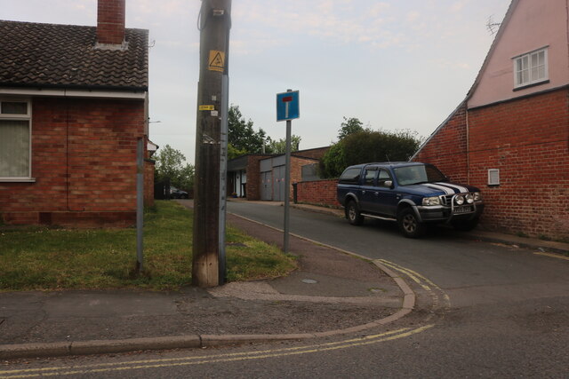
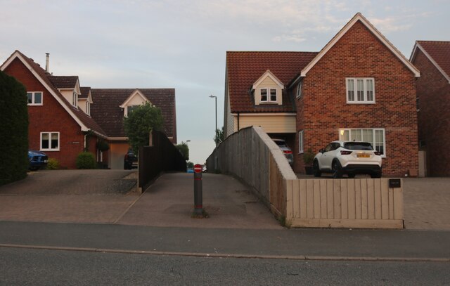
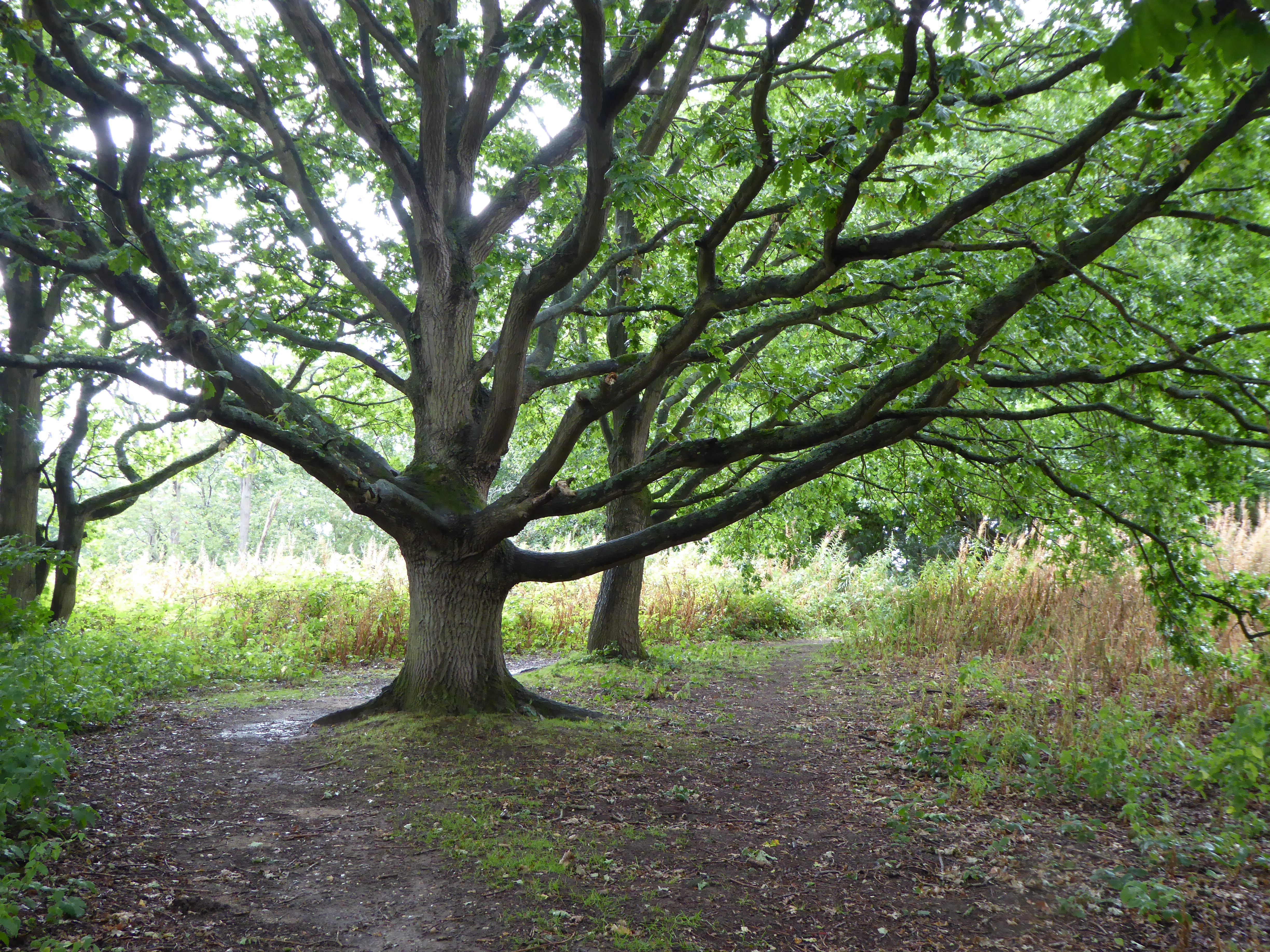
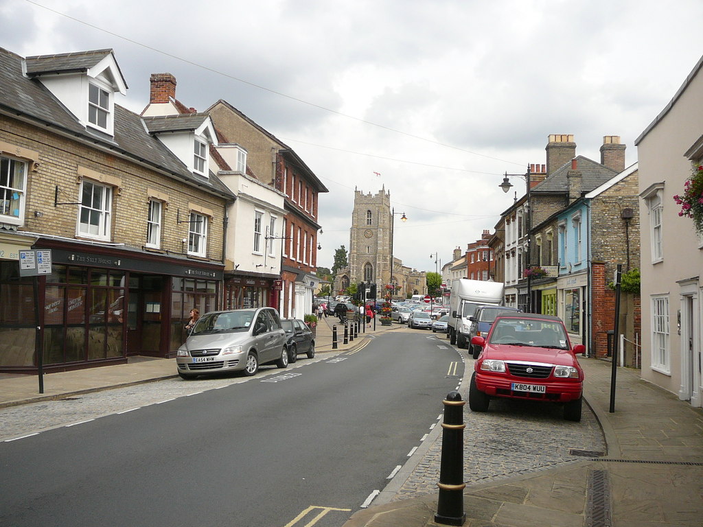
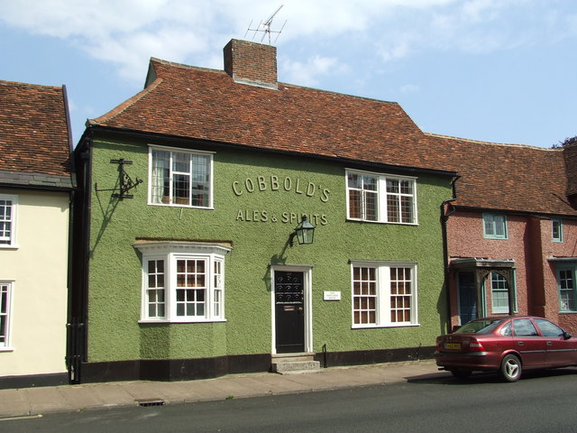
Friars' Hill Images
Images are sourced within 2km of 52.045165/0.94235228 or Grid Reference TM0142. Thanks to Geograph Open Source API. All images are credited.

Friars' Hill is located at Grid Ref: TM0142 (Lat: 52.045165, Lng: 0.94235228)
Administrative County: Suffolk
District: Babergh
Police Authority: Suffolk
What 3 Words
///include.pasting.chosen. Near Hadleigh, Suffolk
Nearby Locations
Related Wikis
Broom Hill, Hadleigh
Broom Hill, Hadleigh is a 9.6 hectares (24 acres) Local Nature Reserve in Hadleigh in Suffolk. It is owned and managed by Babergh District Council. This...

Riverside Walk, Hadleigh
Riverside Walk is a 4.6-hectare Local Nature Reserve on the western outskirts of Hadleigh in Suffolk. It is owned and managed by Babergh District Council...
Babergh District
Babergh District (pronounced , BAY-bə) is a local government district in Suffolk, England. In 2021 it had a population of 92,300. The district is primarily...
Shoulder of Mutton, Hadleigh
The Shoulder of Mutton was a public house in Hadleigh, Suffolk, England. It originally occupied 124 and 126 Hadleigh High Street. The Grade II* listed...
Have you been to Friars' Hill?
Leave your review of Friars' Hill below (or comments, questions and feedback).