Bradick's Hill

Hill, Mountain in Suffolk Babergh

England

Bradick's Hill

Junction on Rockalls Road, Polstead
Junction on Rockalls Road, Polstead Credit: David Howard

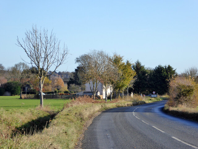
Bradick's Hill is a prominent geographical feature located in Suffolk, England. Rising to an elevation of 125 meters (410 feet), it is classified as a hill rather than a mountain due to its modest height. Situated in the southeastern part of the county, Bradick's Hill is part of the larger Area of Outstanding Natural Beauty known as the Suffolk Coast and Heaths.

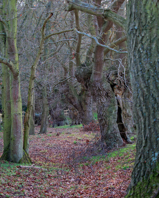
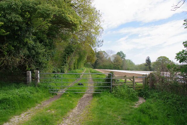
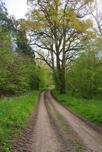
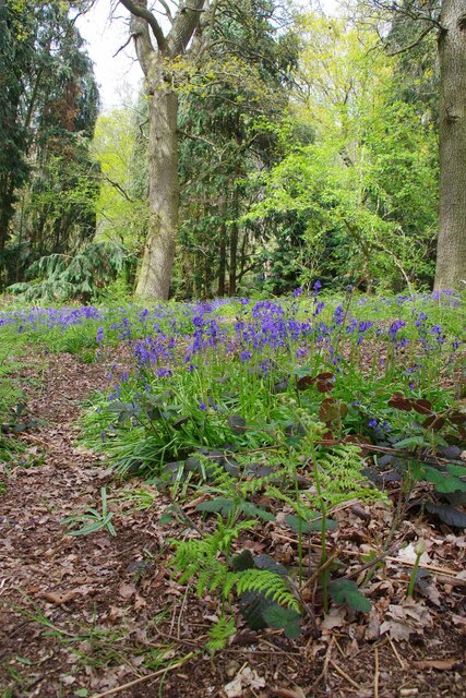
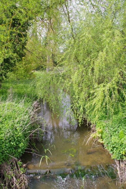
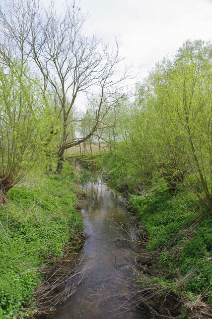
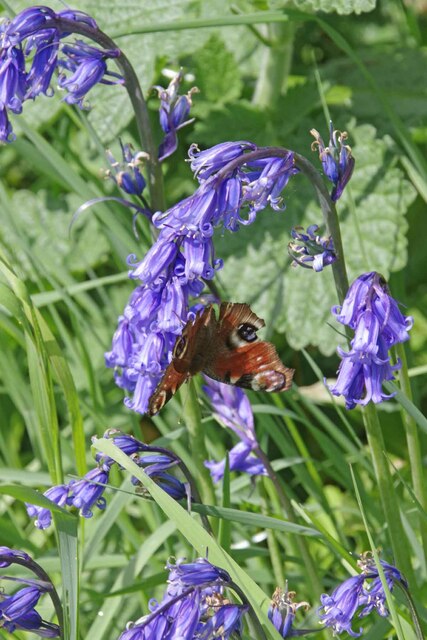
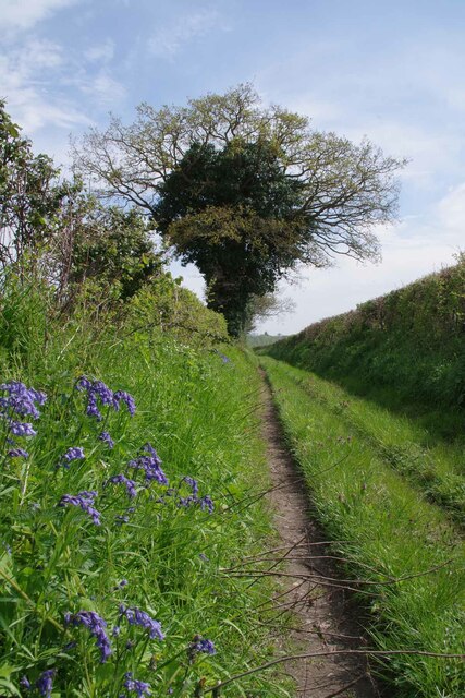
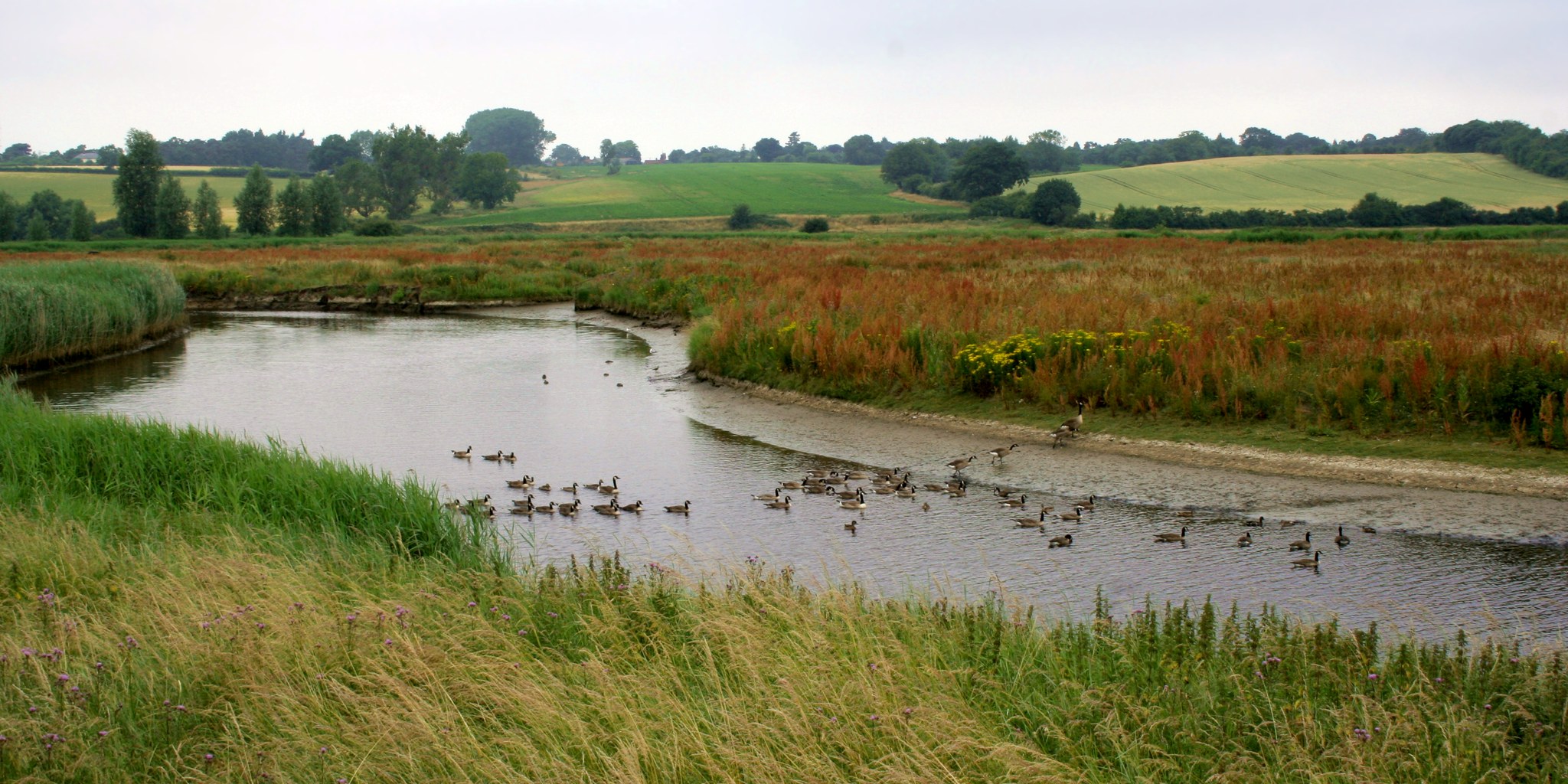
The hill is characterized by its gently sloping sides and lush green landscape, with a diverse range of flora and fauna that thrives in this natural habitat. It offers panoramic views of the surrounding countryside and nearby coast, making it a popular destination for hikers and nature enthusiasts alike.

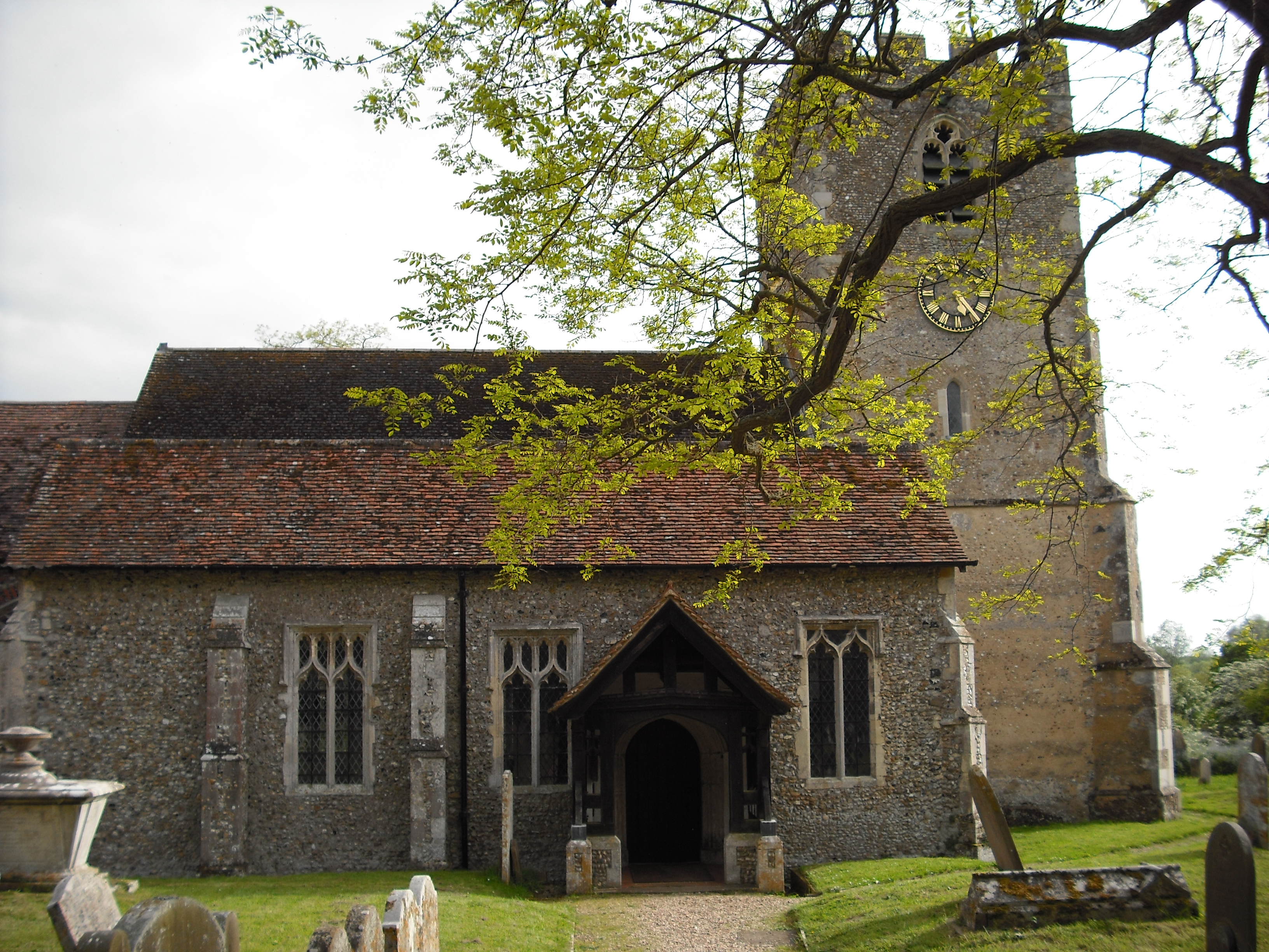
The area surrounding Bradick's Hill is rich in history, with evidence of human occupation dating back thousands of years. Archaeological finds in the vicinity include ancient burial mounds and remnants of Iron Age settlements, highlighting the area's significance in the past.

Today, the hill is a designated Site of Special Scientific Interest, recognized for its ecological importance and unique geological features. It provides a habitat for a variety of plant and animal species, including rare butterflies, birds, and wildflowers.

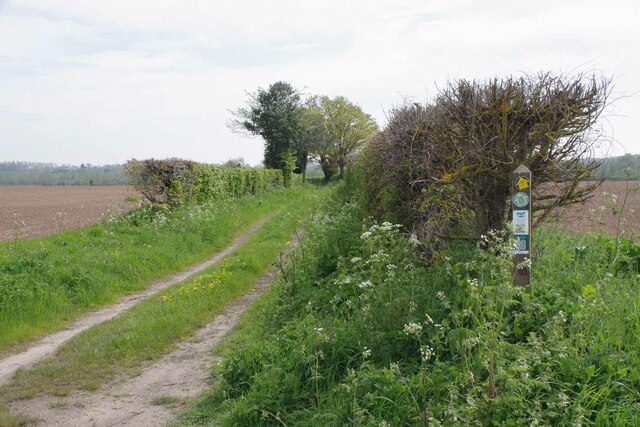
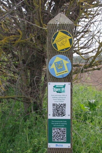
Bradick's Hill is accessible via footpaths and trails, allowing visitors to explore its natural beauty and take in the breathtaking views it offers. Whether it is for a leisurely stroll or a challenging hike, this picturesque hill provides a tranquil escape and an opportunity to connect with nature in the heart of Suffolk.

If you have any feedback on the listing, please let us know in the comments section below.

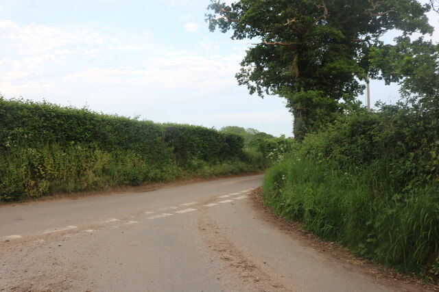
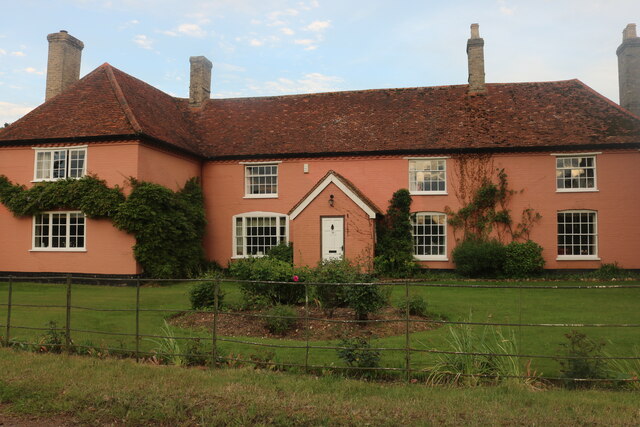
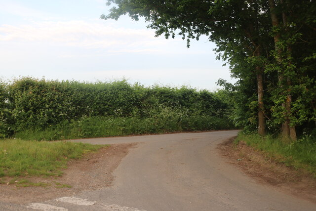
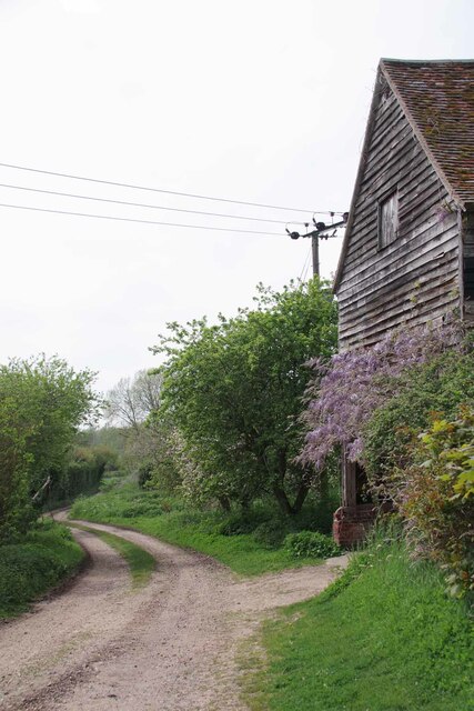
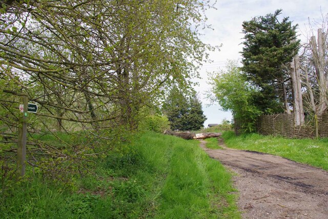
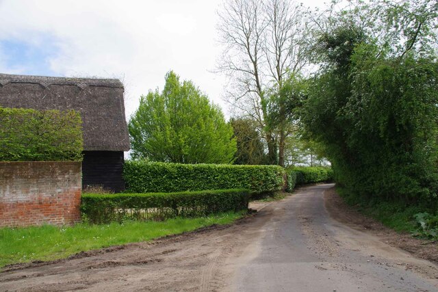
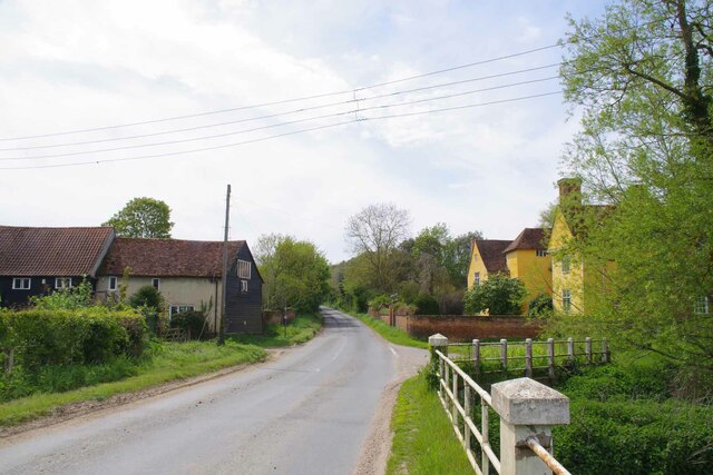
Bradick's Hill Images

Images are sourced within 2km of 51.99092/0.9353549 or Grid Reference TM0136. Thanks to Geograph Open Source API. All images are credited.

Junction on Rockalls Road, Polstead
Large cottage on Stoke Road between Polstead and Layham
Becketts Lane near Layham
Avenue of Trees, Polstead
B1068 towards Thorington Street
Gate on The Tendring Hall Farm Path To the left there was a harrowed field covered with plastic.
Gate on The Tendring Hall Farm Path
To the left there was a harrowed field covered with plastic.
Path Through Pickess Grove A public footpath through the Tendring Hall Estate.
Path Through Pickess Grove
A public footpath through the Tendring Hall Estate.
Native Bluebells in Pickess Grove My nose alone told me these were <a href="https://www.geograph.org.uk/photo/422951">TM0722 : Hyacinthoides non-scripta</a> in a private wood (taken from the footpath).
Native Bluebells in Pickess Grove
My nose alone told me these were TM0722 : Hyacinthoides non-scripta in a private wood (taken from the footpath).
Old Barn at Grove Farm An ancient barn at the other end of the <a href="https://www.geograph.org.uk/photo/7476656">TL9835 : Footpath to Tendring Hall Farm</a>
Old Barn at Grove Farm
An ancient barn at the other end of the TL9835 : Footpath to Tendring Hall Farm
Footpath at Wick Farm The footpath to Thorington Street. Vehicular access is blocked by heavy logs.
Footpath at Wick Farm
The footpath to Thorington Street. Vehicular access is blocked by heavy logs.
Wick Road at Wick Farm Taken from the <a href="https://www.geograph.org.uk/photo/7476841">TM0134 : Footpath at Wick Farm</a>.
Wick Road at Wick Farm
The Studio and Thorington Hall Should you wish you can stay at the National Trust property on the right see <span class="nowrap"><a title="https://www.nationaltrust.org.uk/holidays/suffolk/thorington-hall" rel="nofollow ugc noopener" href="https://www.nationaltrust.org.uk/holidays/suffolk/thorington-hall">Link</a><img style="margin-left:2px;" alt="External link" title="External link - shift click to open in new window" src="https://s1.geograph.org.uk/img/external.png" width="10" height="10"/></span>.
The Studio and Thorington Hall
Should you wish you can stay at the National Trust property on the right see LinkExternal link.
River Box in Thorington Street Looking upstream on this tributary to the River Stour.
River Box in Thorington Street
Looking upstream on this tributary to the River Stour.
Downstream on the River Box You can also see upstream at <a href="https://www.geograph.org.uk/photo/7476854">TM0135 : River Box in Thorington Street</a>.
Downstream on the River Box
You can also see upstream at TM0135 : River Box in Thorington Street.
Langham Mill Lane This is a route with unspecified public access. It is part of the St Edmund Way and Stour Valley Path see <a href="https://www.geograph.org.uk/photo/7476871">TM0135 : St Edmund & Stour Valley Waymarks</a>.
Langham Mill Lane
This is a route with unspecified public access. It is part of the St Edmund Way and Stour Valley Path see TM0135 : St Edmund & Stour Valley Waymarks.
St Edmund & Stour Valley Waymarks Showing the way on the long distance paths. The QR codes still work on geograph!
St Edmund & Stour Valley Waymarks
Showing the way on the long distance paths. The QR codes still work on geograph!
Peacock on Bluebells A rather aged looking Peacock on <a href="https://www.geograph.org.uk/photo/7476911">TM0235 : Langham Mill Lane</a> I am sure the bluebells were native <a href="https://www.geograph.org.uk/photo/422951">TM0722 : Hyacinthoides non-scripta</a>
Peacock on Bluebells
A rather aged looking Peacock on TM0235 : Langham Mill Lane I am sure the bluebells were native TM0722 : Hyacinthoides non-scripta
Langham Mill Lane The track has unspecified public access. See also <a href="https://www.geograph.org.uk/photo/7476895">TM0235 : Peacock on Bluebells</a>
Langham Mill Lane
The track has unspecified public access. See also TM0235 : Peacock on Bluebells
Show me another place!

Bradick's Hill is located at Grid Ref: TM0136 (Lat: 51.99092, Lng: 0.9353549)

Administrative County: Suffolk

District: Babergh

Police Authority: Suffolk

What 3 Words

///best.bulletins.tadpoles. Near Boxted, Essex

Nearby Locations

Bradick's Hill

Related Wikis

Withermarsh Green

Withermarsh Green is a village in the civil parish of Stoke-by-Nayland, in the Babergh district, in the county of Suffolk, England. It is located near...

Giffords Hall, Stoke-by-Nayland

Giffords Hall (also called Gifford's Hall) is a Tudor manor house near Stoke-by-Nayland in Suffolk, England. It was described by Nikolaus Pevsner as “one...

Thorington Street

Thorington Street is a large hamlet on the B1068 road, in the Babergh district, in the English county of Suffolk. The hamlet is part of the civil parish...

Shelley, Suffolk

Shelley is a small village and civil parish in Suffolk, England. Located on the west bank of the River Brett around three miles south of Hadleigh, it is...

Higham, Babergh

Higham is a village and civil parish in Suffolk, England. Located on the eastern bank of the River Brett (which defines the parish's western boundary)...

River Box

The River Box is a small river, 14 miles (23 km) in length, that flows through Suffolk, England. It is a tributary of the River Stour. == Toponymy == The...

Dedham Vale

Dedham Vale is a designated Area of Outstanding Natural Beauty on the Essex-Suffolk border in east England. It comprises the area around the River Stour...

River Brett

The River Brett is a river in Suffolk, England. Its source is in the villages to the north of Lavenham and it flows through Hadleigh to its confluence...

Nearby Amenities

Located within 500m of 51.99092,0.9353549
The data included in this document is from www.openstreetmap.org. The data is made available under ODbL.

Have you been to Bradick's Hill?

Leave your review of Bradick's Hill below (or comments, questions and feedback).