Battledore Hill
Hill, Mountain in Norfolk North Norfolk
England
Battledore Hill

Battledore Hill, also known as Beeston Hill, is a prominent landmark located in Norfolk, England. Despite its name, it is not actually a hill but rather a small mountain, standing at an impressive height of 104 meters (341 feet). It is situated near the village of Beeston Regis, just south of the popular coastal town of Sheringham.
The hill is part of the Norfolk Coast Area of Outstanding Natural Beauty and offers breathtaking panoramic views of the surrounding countryside and North Sea. Its summit is crowned with a distinctive landmark, known as Beeston Bump, a large rounded mound covered in grass and heather.
Battledore Hill has a rich historical significance dating back to ancient times. It is believed to have been a site of human activity since the prehistoric period, with evidence of Mesolithic flint tools and Bronze Age burial mounds found in the vicinity. Additionally, the hill played a role in World War II as a strategic observation point for the Royal Observer Corps.
Today, Battledore Hill attracts both locals and tourists who enjoy hiking and walking along the various footpaths that crisscross the area. The hill is home to a diverse range of flora and fauna, including rare orchids and butterflies. It also offers a tranquil and peaceful environment, providing a welcome escape from the hustle and bustle of modern life.
With its captivating views, historical significance, and natural beauty, Battledore Hill is a cherished landmark that continues to captivate visitors from near and far.
If you have any feedback on the listing, please let us know in the comments section below.
Battledore Hill Images
Images are sourced within 2km of 52.939824/0.91832606 or Grid Reference TF9642. Thanks to Geograph Open Source API. All images are credited.


Battledore Hill is located at Grid Ref: TF9642 (Lat: 52.939824, Lng: 0.91832606)
Administrative County: Norfolk
District: North Norfolk
Police Authority: Norfolk
What 3 Words
///gobblers.restrict.uproot. Near Wells-next-the-Sea, Norfolk
Nearby Locations
Related Wikis

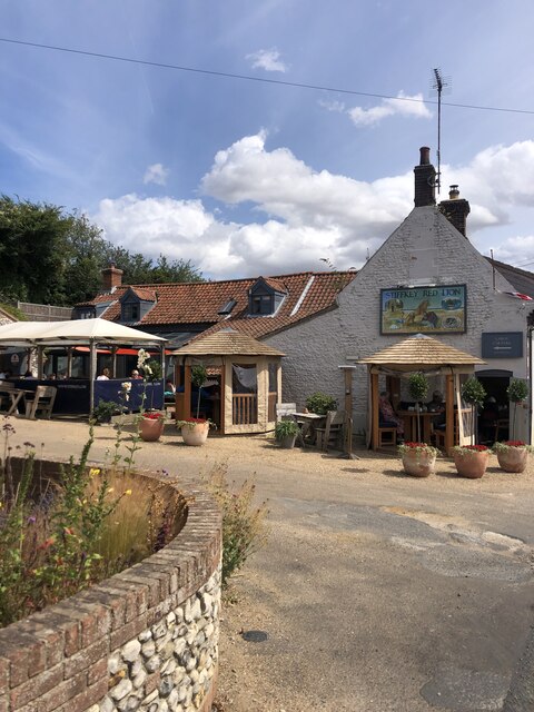
Stiffkey
Stiffkey () is a village and civil parish on the north coast of the English county of Norfolk. It is situated on the A149 coast road, some 6 km (3.7 mi...
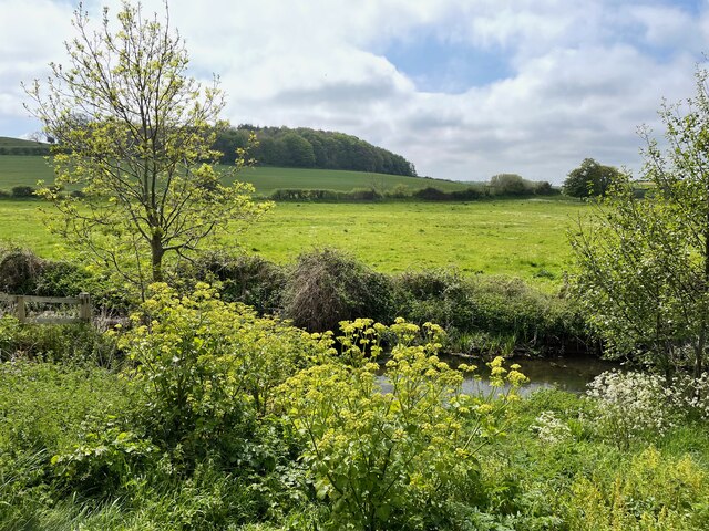
Cockthorpe
Cockthorpe is a village and former civil parish, now in the parish of Binham, in the North Norfolk district, in the county of Norfolk, England. It is 5...

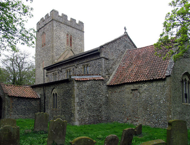
St John and St Mary, Stiffkey
St John the Baptist and St Mary's Church is the parish church of Stiffkey in the English county of Norfolk. It is dedicated to St John the Baptist and...
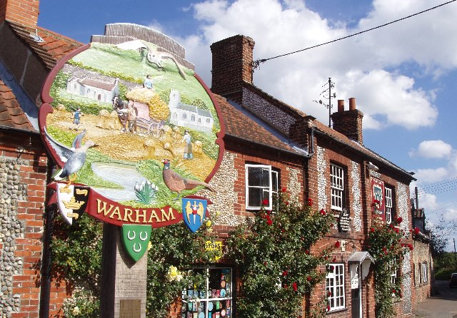
Warham, Norfolk
Warham is a village and civil parish in the English county of Norfolk. It is situated about 5 km (3.1 mi) inland from the north Norfolk coast, 5 km (3...
Have you been to Battledore Hill?
Leave your review of Battledore Hill below (or comments, questions and feedback).