Foxburrow Hill

Hill, Mountain in Suffolk Babergh

England

Foxburrow Hill

Monk's Eleigh church from the SW
Monk's Eleigh church Credit: mym

Foxburrow Hill is a prominent hill located in the county of Suffolk, England. Situated near the village of Melton, it is part of the larger East Anglian region. While Suffolk is known for its flat landscape, Foxburrow Hill stands out as one of the few elevated areas in the county.

Rising to a height of approximately 98 meters (322 feet), Foxburrow Hill is often referred to as a hill rather than a mountain due to its moderate elevation. It is covered in lush green grass and dotted with a variety of trees, predominantly oak and beech. The hill offers breathtaking panoramic views of the surrounding countryside, with the gently rolling farmland extending as far as the eye can see.

Foxburrow Hill is a popular destination for walkers, hikers, and nature enthusiasts. A network of well-maintained footpaths and trails allows visitors to explore the area and take in the picturesque scenery. The hill is also home to a diverse range of flora and fauna, including various bird species and small mammals.

In addition to its natural beauty, Foxburrow Hill boasts historical significance. It is believed to have been used as a vantage point during medieval times, offering a strategic lookout over the surrounding landscape. The remains of an ancient hillfort, dating back to the Iron Age, can also be found on the hill, adding to its archaeological importance.

Overall, Foxburrow Hill is a cherished landmark in Suffolk, offering visitors a chance to immerse themselves in the beauty of nature and experience a unique perspective of the county's predominantly flat terrain.

If you have any feedback on the listing, please let us know in the comments section below.

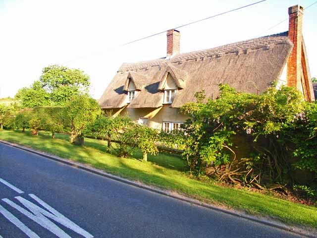
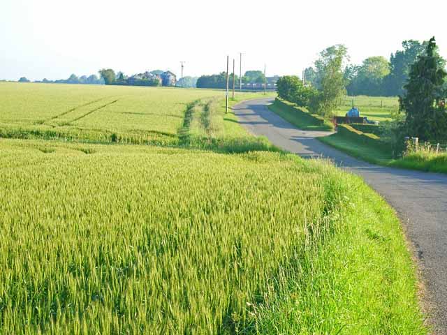
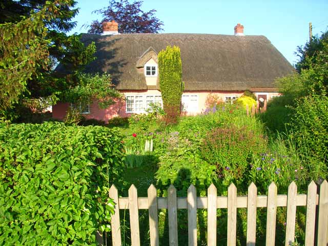
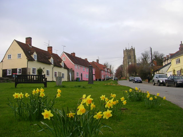
Foxburrow Hill Images

Images are sourced within 2km of 52.080119/0.84473736 or Grid Reference TL9546. Thanks to Geograph Open Source API. All images are credited.

Monk's Eleigh church from the SW
Monk's Eleigh church
from the SW
Village sign at Brent Eleigh, Suffolk Standing by the village sign is this wonderful Elizabethan house, which is timber-framed with brick nogging.
Village sign at Brent Eleigh, Suffolk
Standing by the village sign is this wonderful Elizabethan house, which is timber-framed with brick nogging.
Monk's Eleigh, Suffolk
Cornfield near Little Waldingfield Extensive level cornfields are typical of this part of Suffolk. Adjacent to the B1115, Sudbury to Bildeston road.
Cornfield near Little Waldingfield
Extensive level cornfields are typical of this part of Suffolk. Adjacent to the B1115, Sudbury to Bildeston road.
Valley Farm, near Brent Eleigh On the B1115 Sudbury to Bildeston road.
Valley Farm, near Brent Eleigh
On the B1115 Sudbury to Bildeston road.
Field adjacent to the Groton to Brent Eleigh road Typical of the large-scale cereal cultivation in this part of Suffolk. The silos at Owl's Farm can be seen in the distance.
Field adjacent to the Groton to Brent Eleigh road
Typical of the large-scale cereal cultivation in this part of Suffolk. The silos at Owl's Farm can be seen in the distance.
Brickpath Cottage On the Groton to Brent Eleigh road. Everybody's dream of a country cottage with a real cottage garden.
Brickpath Cottage
On the Groton to Brent Eleigh road. Everybody's dream of a country cottage with a real cottage garden.
Village centre, Milden Essential services concentrated at the centre of this small hamlet on the Groton to Brent Eleigh road - telephone box, postbox, notice board and bus stop.
Village centre, Milden
Essential services concentrated at the centre of this small hamlet on the Groton to Brent Eleigh road - telephone box, postbox, notice board and bus stop.
Ploughed fields near Brent Eleigh The valley of the Brett runs across the photo in the middle distance.
Ploughed fields near Brent Eleigh
The valley of the Brett runs across the photo in the middle distance.
Farmhouse at Hays Farm
Powney Street, Milden, Suffolk The cottage is called Milden Cottage.
Powney Street, Milden, Suffolk
The cottage is called Milden Cottage.
Scripcross Bridge The road that goes over the bridge is the B.1115, which joins the A.1141
Scripcross Bridge
The road that goes over the bridge is the B.1115, which joins the A.1141
Farmhouse at Lower Farm This is one of many farms along Boxford Road.
Farmhouse at Lower Farm
This is one of many farms along Boxford Road.
Brent Eleigh village hall See also <span class="nowrap"><a title="http://www.jrsaville.co.uk/brent_eleigh.htm" rel="nofollow ugc noopener" href="http://www.jrsaville.co.uk/brent_eleigh.htm">Link</a><img style="margin-left:2px;" alt="External link" title="External link - shift click to open in new window" src="https://s1.geograph.org.uk/img/external.png" width="10" height="10"/></span> which shows how this building is the basis for Lilliput Lane's model "School Friends" <span class="nowrap"><a title="http://www.cliftoncollectables.co.uk/products2.asp?name=Lilliput+Lane+School+Friends&code=L2838" rel="nofollow ugc noopener" href="http://www.cliftoncollectables.co.uk/products2.asp?name=Lilliput+Lane+School+Friends&code=L2838">Link</a><img style="margin-left:2px;" alt="External link" title="External link - shift click to open in new window" src="https://s1.geograph.org.uk/img/external.png" width="10" height="10"/></span> .
Brent Eleigh village hall
See also LinkExternal link which shows how this building is the basis for Lilliput Lane's model "School Friends" LinkExternal link .
Dappled Lane Sunlight broken up by dappled shade along Cock Lane near Brent Eleigh Suffolk.
Dappled Lane
Sunlight broken up by dappled shade along Cock Lane near Brent Eleigh Suffolk.
Five Bar Gate Five bar gate and tree along Cock Lane, Brent Eleigh, Suffolk.
Five Bar Gate
Five bar gate and tree along Cock Lane, Brent Eleigh, Suffolk.
Barley field and Humble Green masts Two telecom masts are situated by a bend in the B1115 near Little Waldingfield.
Barley field and Humble Green masts
Two telecom masts are situated by a bend in the B1115 near Little Waldingfield.
Old Farmhouse in Stackyard Green
Show me another place!

Foxburrow Hill is located at Grid Ref: TL9546 (Lat: 52.080119, Lng: 0.84473736)

Administrative County: Suffolk

District: Babergh

Police Authority: Suffolk

What 3 Words

///succumbs.rinse.remotest. Near Lavenham, Suffolk

Nearby Locations

Milden Foxburrow Hill

Related Wikis

Milden Castle

Milden Castle was a motte-and-bailey castle on Foxburrow hill in Milden, a village in Suffolk, England. It was built in the 12th century, but today all...

Milden, Suffolk

Milden is a small village and civil parish in the Babergh district, in Suffolk, England. Located around four and half miles from Sudbury. In 2011 the parish...

Brent Eleigh Woods

Brent Eleigh Woods is a 31.7-hectare (78-acre) biological Site of Special Scientific Interest south-east of Lavenham in Suffolk.This site consists of three...

Monks Eleigh

Monks Eleigh is a village and a civil parish in Babergh, Suffolk, United Kingdom, situated on the tributary to the River Brett in a rural area. The parish...

Nearby Amenities

Located within 500m of 52.080119,0.84473736
Defibrillator
Access: yes
Booth: K6
Covered: booth
Defibrillator Location: Inside the redundant telephone kiosk, adjacent to the bus shelter.
Disused Amenity: telephone
Emergency: defibrillator
Indoor: no
Man Made: telephone_box
Ref: CHT-9815
Source: gps survey
Lat/Long: 52.0801021/0.8466451
Post Box
Operator: Royal Mail
Post Box Type: lamp
Ref: IP7 1010
Source: gps survey
Lat/Long: 52.0800807/0.8467033
Bus Stop
Bus Shelter
Naptan AtcoCode: 390010475
Naptan Bearing: S
Naptan CommonName: Bus Shelter
Naptan Indicator: o/s
Naptan Landmark: Bus Shelter
Naptan NaptanCode: sufagjpt
Naptan Street: The Street
Naptan Verified: no
Shelter: yes
Source: naptan_import
Lat/Long: 52.0800467/0.8467379
Bus Shelter
Naptan AtcoCode: 390010476
Naptan Bearing: N
Naptan BusStopType: CUS
Naptan CommonName: Bus Shelter
Naptan Indicator: opp
Naptan Landmark: Bus Shelter
Naptan NaptanCode: sufagjpw
Naptan Street: The Street
Naptan Verified: no
Source: naptan_import
Lat/Long: 52.0801504/0.8465401
Power: pole
Lat/Long: 52.0791796/0.844381
Power: pole
Lat/Long: 52.0794334/0.8510221
Power: pole
Lat/Long: 52.0790803/0.8454826
Power: pole
Lat/Long: 52.0795732/0.8402174
Power: pole
Lat/Long: 52.0789603/0.8466689
Power: pole
Lat/Long: 52.0789179/0.8475936
The data included in this document is from www.openstreetmap.org. The data is made available under ODbL.

Have you been to Foxburrow Hill?

Leave your review of Foxburrow Hill below (or comments, questions and feedback).