Likely Hill
Hill, Mountain in Suffolk Babergh
England
Likely Hill
Likely Hill, Suffolk is a prominent geological formation located in the east of England. Despite its name, it is not a hill or a mountain but rather a low-lying area characterized by gently rolling terrain. Situated in the county of Suffolk, Likely Hill is roughly 2 miles southeast of the town of Bury St Edmunds.
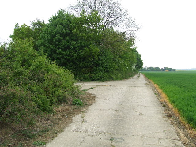
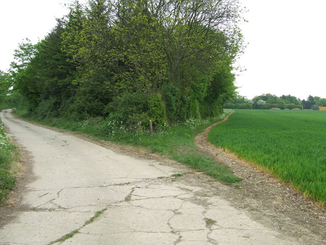
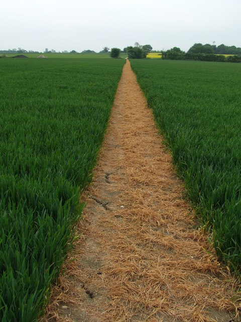
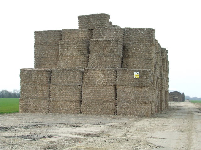
Covering an area of approximately 1 square mile, Likely Hill is mainly comprised of agricultural land and is surrounded by picturesque countryside. The landscape is predominantly open and features expansive fields, hedgerows, and scattered woodland areas. The soil in the region is fertile, making it ideal for farming, and the area is known for its agricultural productivity.
The elevation of Likely Hill is relatively modest, with the highest point reaching only around 100 feet above sea level. This gentle rise in the terrain affords visitors and residents panoramic views of the surrounding countryside, including distant vistas of Suffolk's rural beauty.
The hill is traversed by several country lanes and footpaths, making it a popular destination for walkers and hikers who wish to explore the tranquil and scenic surroundings. The area is also home to a variety of flora and fauna, providing opportunities for nature enthusiasts to spot local wildlife such as rabbits, hares, and various bird species.
Overall, Likely Hill, Suffolk offers a serene and idyllic setting, perfect for those seeking a peaceful retreat or a leisurely stroll through the English countryside.
If you have any feedback on the listing, please let us know in the comments section below.
Likely Hill Images
Images are sourced within 2km of 52.127862/0.79523371 or Grid Reference TL9151. Thanks to Geograph Open Source API. All images are credited.


Likely Hill is located at Grid Ref: TL9151 (Lat: 52.127862, Lng: 0.79523371)
Administrative County: Suffolk
District: Babergh
Police Authority: Suffolk
What 3 Words
///vocab.supper.compiler. Near Lavenham, Suffolk
Nearby Locations
Related Wikis

Rooksey Green
Rooksey Green is a hamlet in the parish of Preston St Mary, in the Babergh District in the English county of Suffolk. == Other nearby settlements == Other...
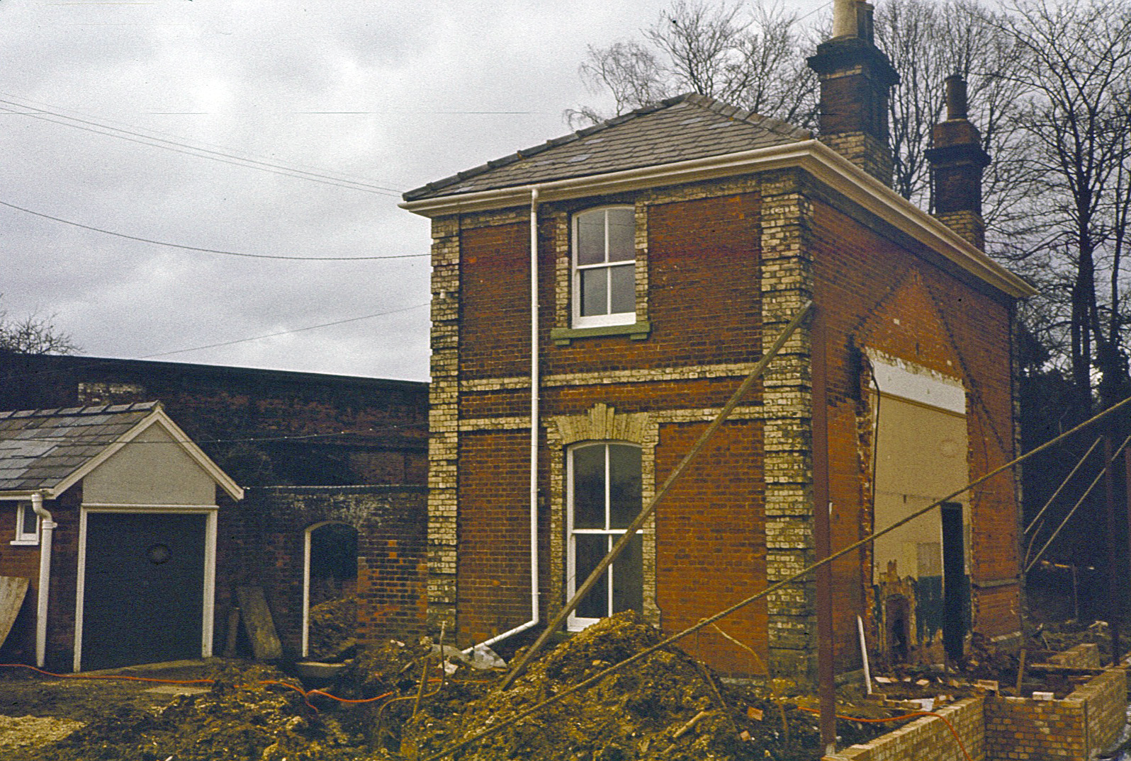
Lavenham railway station
Lavenham railway station was a station in Lavenham, Suffolk, on the Long Melford–Bury St Edmunds branch line. It closed to passengers in 1961, and the...
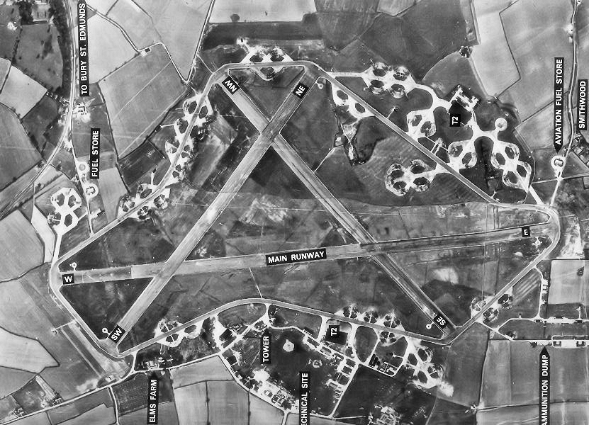
RAF Lavenham
RAF Lavenham (also known as Cockfield) is a former World War II airfield in England. The field is located 7 miles (11 km) N of Sudbury in Suffolk, near...

Lavenham Guildhall
Lavenham Guildhall is a timber-framed municipal building in Lavenham, Suffolk, England. It is Grade I listed. == History == By the late 14th century, Lavenham...
Nearby Amenities
Located within 500m of 52.127862,0.79523371Have you been to Likely Hill?
Leave your review of Likely Hill below (or comments, questions and feedback).