Butts Hill
Hill, Mountain in Essex Rochford
England
Butts Hill

Butts Hill is a small hill located in the county of Essex, in the eastern part of England. Despite its name, it is not a hill in the traditional sense, but rather a mound or small elevated area of land. Standing at approximately 50 meters above sea level, it offers a modest elevation and scenic views of the surrounding countryside.
The hill is situated near the village of Buttsbury, which is believed to have been named after the hill. It is primarily composed of chalk and clay, typical of the geological makeup of the region. The area surrounding Butts Hill is predominantly agricultural, with fields and meadows stretching out in all directions.
The hill itself is covered in grass and a few scattered trees, which provide some shade and shelter for local wildlife. It is a popular spot for local residents and visitors to take walks or enjoy a picnic, particularly during the summer months when the weather is favorable.
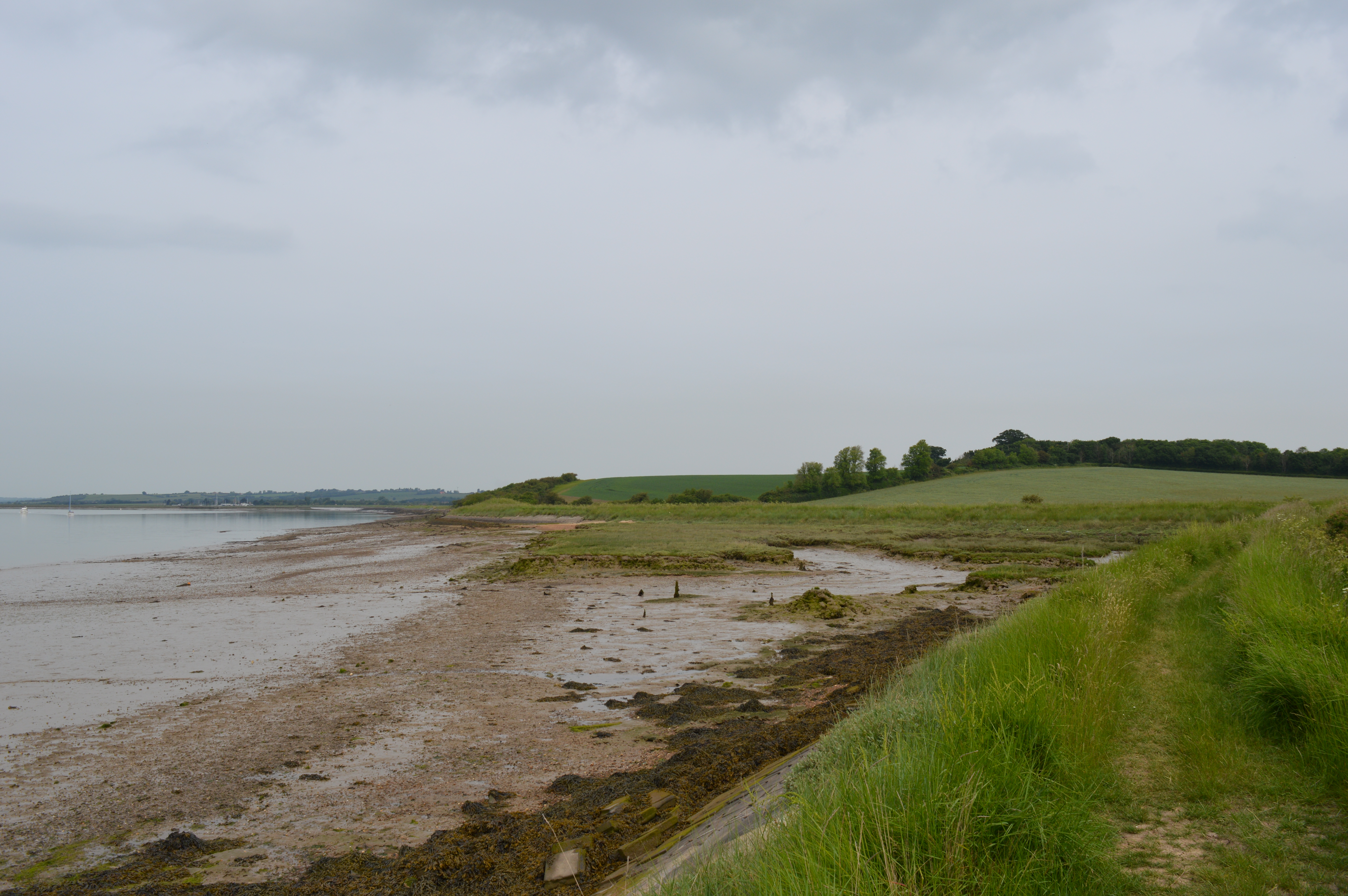
From the top of Butts Hill, visitors can take in panoramic views of the surrounding countryside, with its patchwork of fields, hedgerows, and quaint villages. On a clear day, one can even catch a glimpse of the nearby River Crouch, which meanders its way through the Essex countryside.
Overall, Butts Hill offers a peaceful and picturesque location for those seeking a brief respite from the hustle and bustle of everyday life, with its gentle slopes and scenic vistas making it a charming destination for nature lovers and outdoor enthusiasts alike.
If you have any feedback on the listing, please let us know in the comments section below.
Butts Hill Images
Images are sourced within 2km of 51.618862/0.74104731 or Grid Reference TQ8994. Thanks to Geograph Open Source API. All images are credited.


Butts Hill is located at Grid Ref: TQ8994 (Lat: 51.618862, Lng: 0.74104731)
Administrative County: Essex
District: Rochford
Police Authority: Essex
What 3 Words
///ruffling.these.personal. Near Canewdon, Essex
Nearby Locations
Related Wikis
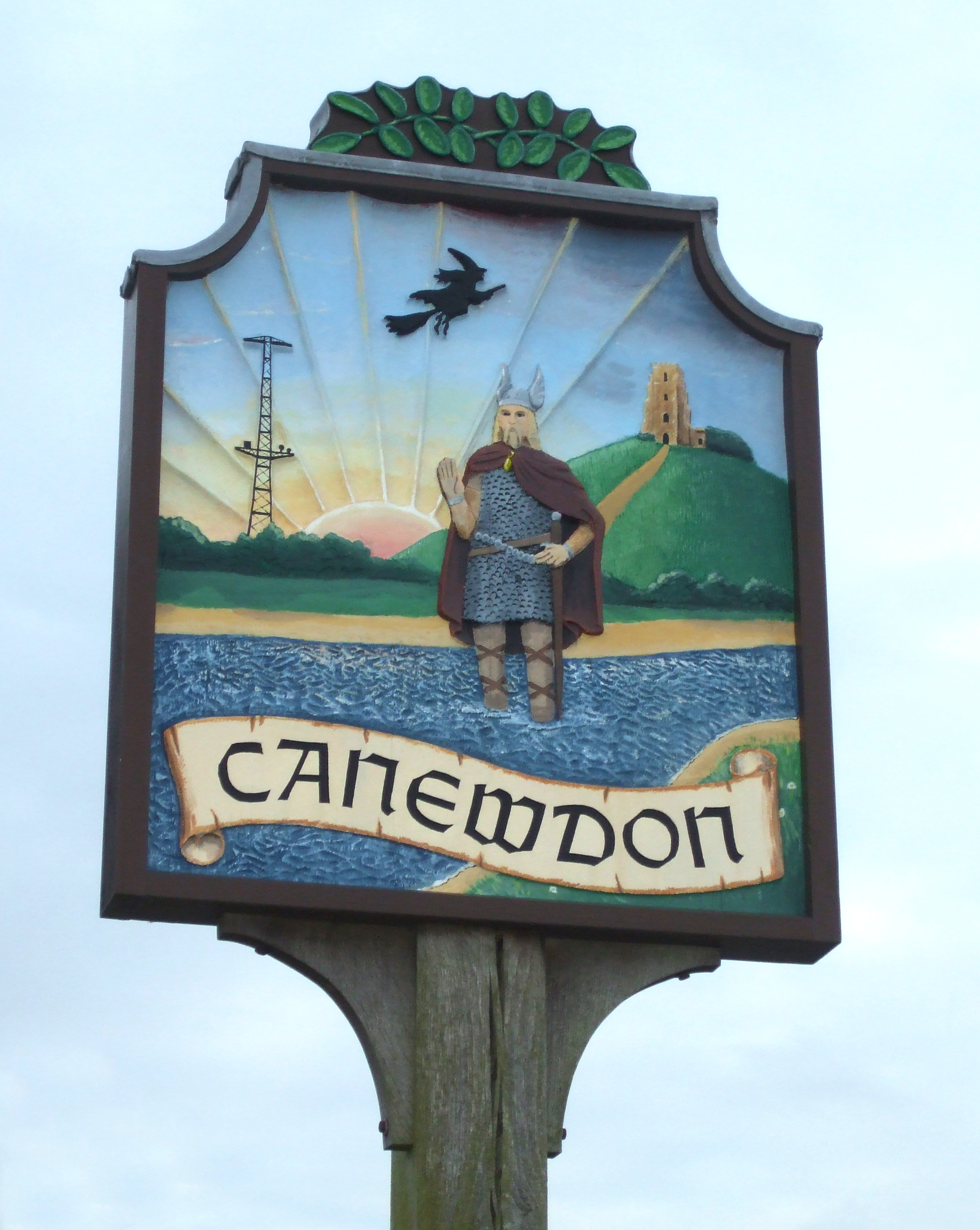
Canewdon
Canewdon is a village and civil parish in the Rochford district of Essex, England. The village is located approximately 4 miles (6.4 km) northeast of the...
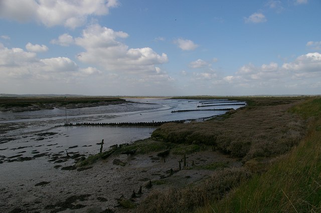
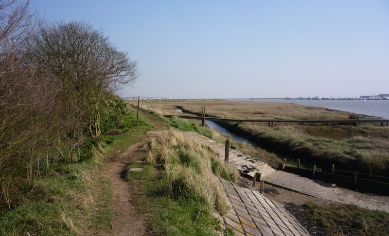
Bridgemarsh Island
Bridgemarsh Island is in the tidal part of the River Crouch in the English county of Essex, three miles upstream from Burnham-on-Crouch. The main river...

Lion Creek and Lower Raypits
Lion Creek and Lower Raypits is a 65.2-hectare (161-acre) nature reserve east of Canewdon in Essex. It is part of the Crouch and Roach Estuaries Site of...
The Cliff, Burnham-on-Crouch
The Cliff, Burnham-on-Crouch is a 4 hectare geological Site of Special Scientific Interest (SSSI) on the bank of the River Crouch between Burnham-on-Crouch...

Stambridge
Stambridge is a civil parish in the Rochford district in Essex, England. It is located north of the River Roach between Rochford and Paglesham. The parish...

Great Stambridge
Great Stambridge is a village and former civil parish, 15 miles (24 km) south east of Chelmsford, now in the parish of Stambridge, in the Rochford district...
Creeksea
Creeksea is a village and former civil parish, now in the parish of Burnham-on-Crouch, in the Maldon district, in the county of Essex, England. It is on...
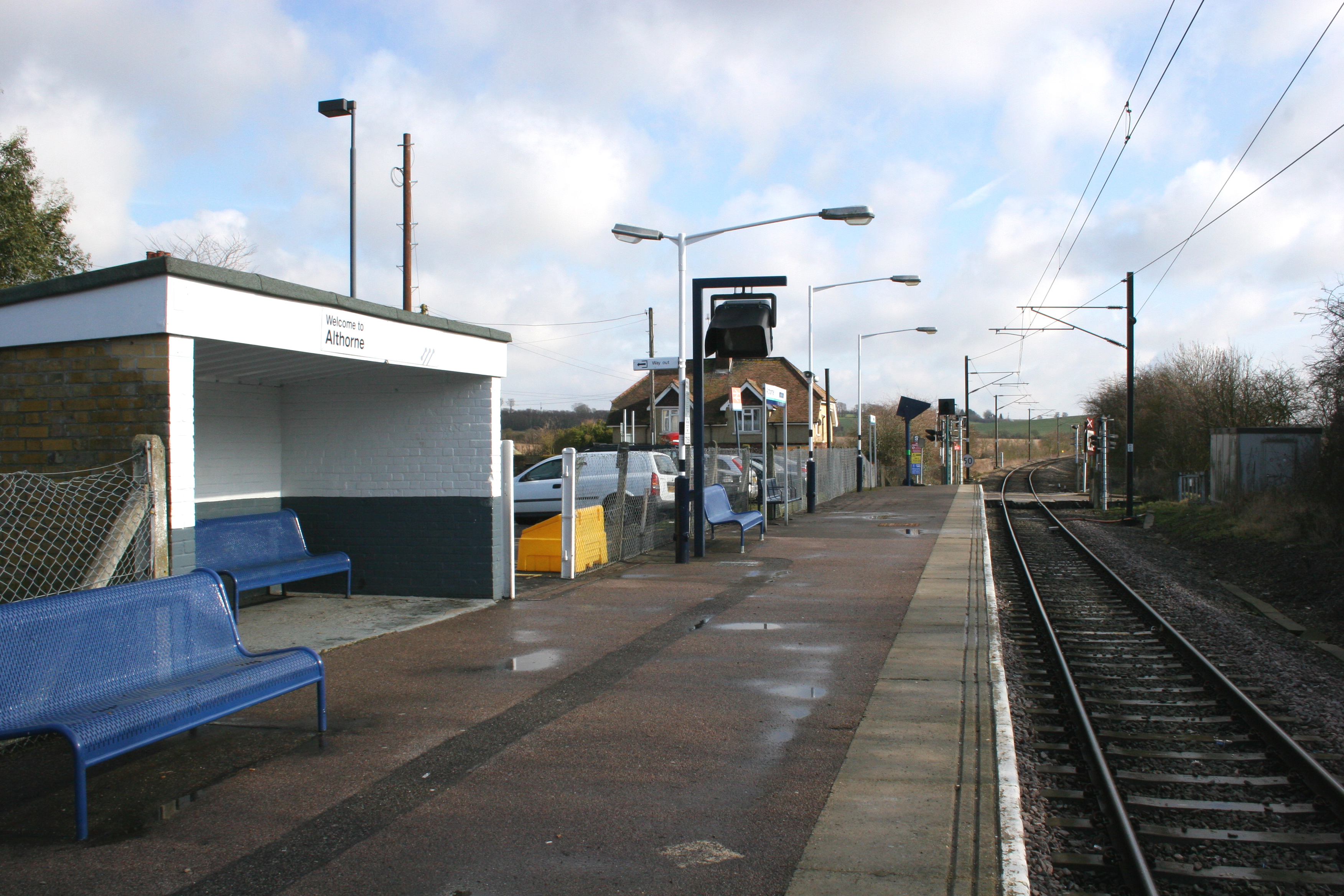
Althorne railway station
Althorne railway station is on the Crouch Valley Line in the East of England, serving the village of Althorne, Essex. It is 40 miles 27 chains (64.92 km...
Related Videos

Walk along the River Crouch, Essex (4K)
A walk along the beautiful River Crouch in Essex from South Woodham Ferrers to Althorne - around 17.5 miles in total. More info ...
St Nicholas Church, Canewdon Essex, Short Walkabout, February 2023. #canewdon
St Nicholas Church, Canewdon Essex, February 2023. Short walkabout.
The River
It's a busy world out there - crime, strife and danger and all manner of things......but hey....take a load off. Relax with a drink and let ...
Nearby Amenities
Located within 500m of 51.618862,0.74104731Have you been to Butts Hill?
Leave your review of Butts Hill below (or comments, questions and feedback).