Barrow Hill

Hill, Mountain in Suffolk Breckland

England

Barrow Hill

Study of a Gasoline Station Harvest Energy, Thetford.

 This photograph is part of a series taken in homage to the American artist Ed Ruscha's 1963 publication of 'Twentysix Gasoline Stations'.
More properly known as filling stations in the UK, I am attempting to photograph as many as possible to mark the sixty year anniversary.
Study of a Gasoline Station Credit: David Bremner

Barrow Hill is a small, picturesque village located in the county of Suffolk, England. Situated on a gentle slope, it is known for its prominent hill, which stands as a prominent landmark in the area. Despite being referred to as a hill, Barrow Hill is more accurately described as a small rise in the landscape rather than a true mountainous formation.

The village itself is charming and tranquil, with a population of around 500 residents. It offers a peaceful retreat from the hustle and bustle of city life, with its idyllic countryside setting and stunning views of the surrounding area. The houses in Barrow Hill are predominantly traditional, reflecting the village's rich history and rural character.

Barrow Hill is a popular destination for outdoor enthusiasts and nature lovers. The hill provides excellent opportunities for hiking and walking, with well-maintained paths and trails that lead to the summit. From the top, visitors are rewarded with breathtaking panoramic views of the Suffolk countryside and beyond.

In addition to its natural beauty, Barrow Hill also boasts a strong sense of community. The village has a close-knit group of residents who organize various events and activities throughout the year, fostering a warm and welcoming atmosphere.

Overall, Barrow Hill, Suffolk offers a charming and peaceful escape for those seeking a rural retreat. Its picturesque setting, coupled with its rich history and sense of community, make it a hidden gem in the heart of Suffolk.

If you have any feedback on the listing, please let us know in the comments section below.
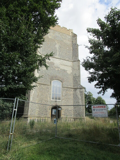
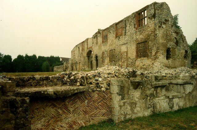
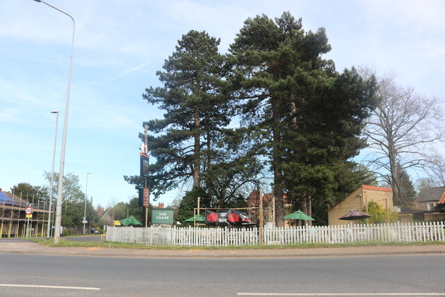
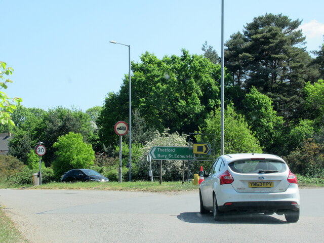
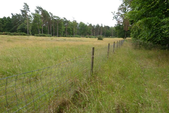
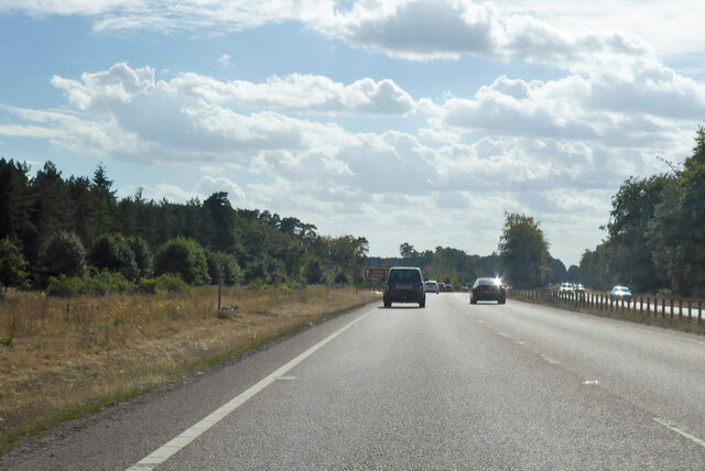
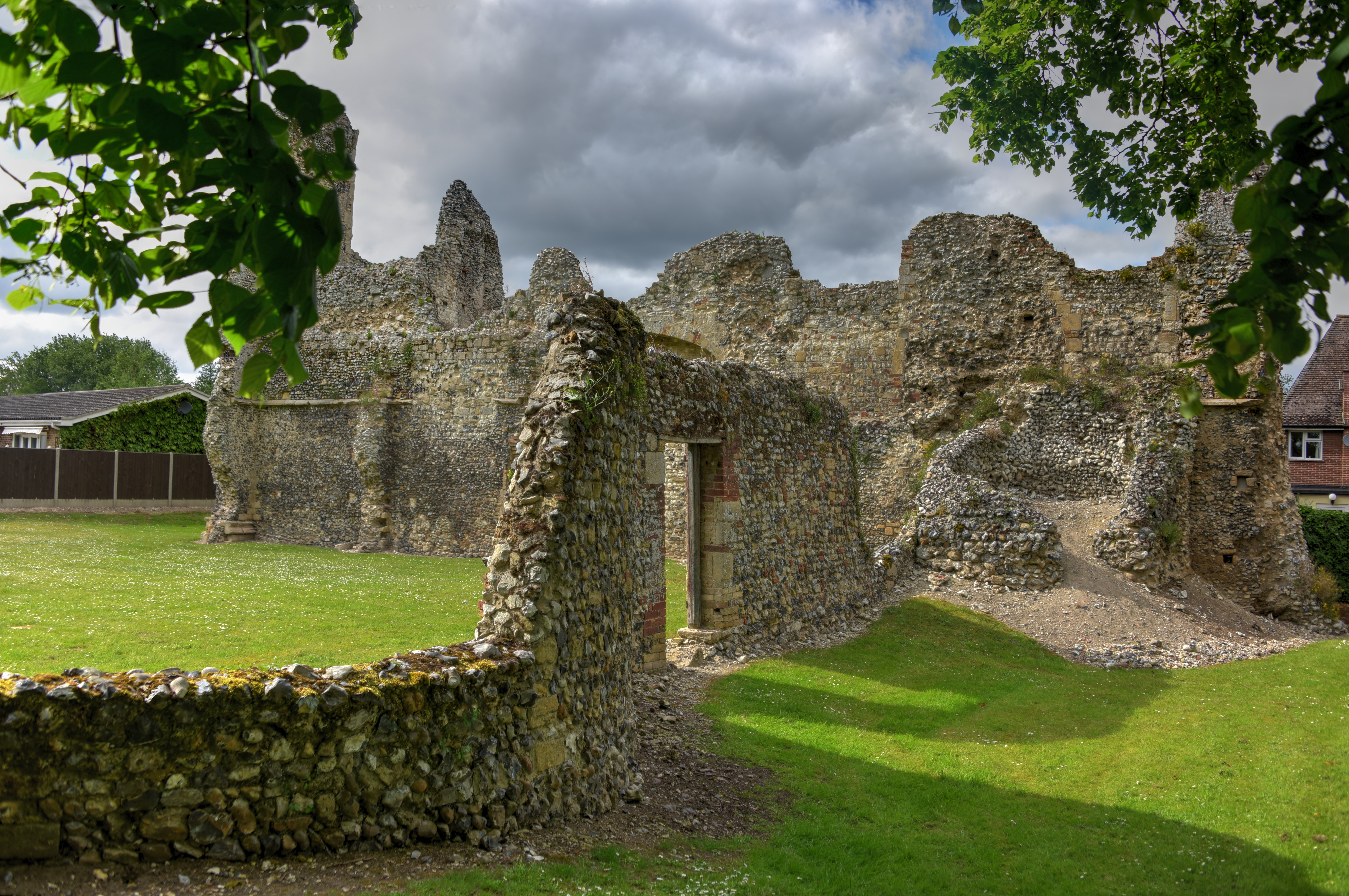
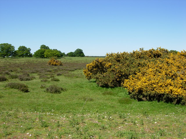
Barrow Hill Images

Images are sourced within 2km of 52.407368/0.71716939 or Grid Reference TL8482. Thanks to Geograph Open Source API. All images are credited.

Study of a Gasoline Station Harvest Energy, Thetford.

 This photograph is part of a series taken in homage to the American artist Ed Ruscha's 1963 publication of 'Twentysix Gasoline Stations'.
More properly known as filling stations in the UK, I am attempting to photograph as many as possible to mark the sixty year anniversary.
Study of a Gasoline Station
Harvest Energy, Thetford. This photograph is part of a series taken in homage to the American artist Ed Ruscha's 1963 publication of 'Twentysix Gasoline Stations'. More properly known as filling stations in the UK, I am attempting to photograph as many as possible to mark the sixty year anniversary.
Church of St. Mary the Less, Thetford Redundant and neglected <span class="nowrap"><a title="https://historicengland.org.uk/listing/the-list/list-entry/1297899" rel="nofollow ugc noopener" href="https://historicengland.org.uk/listing/the-list/list-entry/1297899">Link</a><img style="margin-left:2px;" alt="External link" title="External link - shift click to open in new window" src="https://s1.geograph.org.uk/img/external.png" width="10" height="10"/></span>
Church of St. Mary the Less, Thetford
Redundant and neglected LinkExternal link
Thetford Cluniac Priory Prior's Lodging viewed from cellar west of the main cloister <span class="nowrap"><a title="https://historicengland.org.uk/listing/the-list/list-entry/1017669?section=official-listing" rel="nofollow ugc noopener" href="https://historicengland.org.uk/listing/the-list/list-entry/1017669?section=official-listing">Link</a><img style="margin-left:2px;" alt="External link" title="External link - shift click to open in new window" src="https://s1.geograph.org.uk/img/external.png" width="10" height="10"/></span>
Thetford Cluniac Priory
Prior's Lodging viewed from cellar west of the main cloister LinkExternal link
Thetford Priory
Thetford Priory
London Road, Thetford
The Chase pub on London Road, Thetford My last visit. <a title="https://www.geograph.org.uk/photo/6811187" href="https://www.geograph.org.uk/photo/6811187">Link</a>
The Chase pub on London Road, Thetford
My last visit. Link
The A11 west approaching island with A134 for Thetford
Former Refectory, Thetford Priory When this was a Refectory the monks would have sat at table on both sides on raised sides of this former Refectory.
Former Refectory, Thetford Priory
When this was a Refectory the monks would have sat at table on both sides on raised sides of this former Refectory.
Bury Road, Thetford
Bury Road, Thetford
Thetford Warren Thetford Warren an area of wooded heathland south of Thetford Warren Lodge.
Thetford Warren
Thetford Warren an area of wooded heathland south of Thetford Warren Lodge.
Thetford Forest The Breck a heathland forested region near Thetford Warren Lodge.
Thetford Forest
The Breck a heathland forested region near Thetford Warren Lodge.
A11 towards London But no longer a continuous route with that number. Taking the A14 around Newmarket is the first interruption.
A11 towards London
But no longer a continuous route with that number. Taking the A14 around Newmarket is the first interruption.
A11 towards London Here bypassing Thetford.
A11 towards London
Here bypassing Thetford.
Thetford Priory The Priory of Our Lady of Thetford was one of the largest and most important monasteries in medieval East Anglia. Founded in 1103 by Roger Bigod of Norfolk. For 400 years it was the burial place of the Earls and Dukes of Norfolk, and enjoyed their powerful protection. It was because of this that Thetford was one of the last monasteries to be suppressed when it surrendered to Henry VIII's commissioners in 1540.

<span class="nowrap"><a title="https://en.wikipedia.org/wiki/Thetford_Priory" rel="nofollow ugc noopener" href="https://en.wikipedia.org/wiki/Thetford_Priory">Link</a><img style="margin-left:2px;" alt="External link" title="External link - shift click to open in new window" src="https://s1.geograph.org.uk/img/external.png" width="10" height="10"/></span>
Thetford Priory
The Priory of Our Lady of Thetford was one of the largest and most important monasteries in medieval East Anglia. Founded in 1103 by Roger Bigod of Norfolk. For 400 years it was the burial place of the Earls and Dukes of Norfolk, and enjoyed their powerful protection. It was because of this that Thetford was one of the last monasteries to be suppressed when it surrendered to Henry VIII's commissioners in 1540. LinkExternal link
Refectory at Thetford Cluniac Priory <span class="nowrap"><a title="https://historicengland.org.uk/listing/the-list/list-entry/1017669?section=official-list-entry" rel="nofollow ugc noopener" href="https://historicengland.org.uk/listing/the-list/list-entry/1017669?section=official-list-entry">Link</a><img style="margin-left:2px;" alt="External link" title="External link - shift click to open in new window" src="https://s1.geograph.org.uk/img/external.png" width="10" height="10"/></span>
Refectory at Thetford Cluniac Priory
Cloister at Thetford Cluniac Priory <span class="nowrap"><a title="https://historicengland.org.uk/listing/the-list/list-entry/1017669?section=official-list-entry" rel="nofollow ugc noopener" href="https://historicengland.org.uk/listing/the-list/list-entry/1017669?section=official-list-entry">Link</a><img style="margin-left:2px;" alt="External link" title="External link - shift click to open in new window" src="https://s1.geograph.org.uk/img/external.png" width="10" height="10"/></span>
Cloister at Thetford Cluniac Priory
Prior's Lodging at Thetford Cluniac Priory <span class="nowrap"><a title="https://historicengland.org.uk/listing/the-list/list-entry/1297875?section=official-list-entry" rel="nofollow ugc noopener" href="https://historicengland.org.uk/listing/the-list/list-entry/1297875?section=official-list-entry">Link</a><img style="margin-left:2px;" alt="External link" title="External link - shift click to open in new window" src="https://s1.geograph.org.uk/img/external.png" width="10" height="10"/></span>
Prior's Lodging at Thetford Cluniac Priory
Show me another place!

Barrow Hill is located at Grid Ref: TL8482 (Lat: 52.407368, Lng: 0.71716939)

Administrative County: Norfolk

District: Breckland

Police Authority: Norfolk

What 3 Words

///chaos.snack.corals. Near Thetford, Norfolk

Related Wikis

Nearby Amenities

Located within 500m of 52.407368,0.71716939
Cafe
Starbucks
Addr City: Thetford
Addr Parentstreet: London Road
Addr Postcode: IP24 3QL
Addr Street: Forest Retail Park
Brand: Starbucks
Brand Wikidata: Q37158
Cuisine: coffee_shop
Fhrs Id: 1616974
Level: 1
Official Name: Starbucks Coffee
Takeaway: yes
Website: https://www.starbucks.com/store-locator/store/1049105/thetford-sainsburys-undefined-london-rd-thetford-eng-ip-24-3-ql-gb
Lat/Long: 52.4046748/0.7207269
Fuel
Sainsbury's
Brand: Sainsbury's
Brand Wikidata: Q152096
Brand Wikipedia: en:Sainsbury's
Opening Hours: Mo-Sa 06:00-22:30; Su 08:00-20:00
Operator: Sainsbury's
Website: https://stores.sainsburys.co.uk/0098/thetford-petrol-station
Lat/Long: 52.4048899/0.7227266
car park, adj
Abandoned Highway: bus_stop
Naptan AtcoCode: 2900T39121
Naptan Bearing: NE
Naptan BusStopType: CUS
Naptan CommonName: car park
Naptan Indicator: adj
Naptan Landmark: Sainsburys Car Park
Naptan Locality: Thetford
Naptan NaptanCode: nfogapgt
Naptan Street: Sainsburys
Source: naptan_import
Lat/Long: 52.4045036/0.7221869
Bus Stop
Sainsburys
Naptan AtcoCode: 2900T3961
Naptan Bearing: NE
Naptan CommonName: Sainsburys
Naptan Indicator: adj
Naptan Landmark: Woodland Retail Park
Naptan Locality: Thetford
Naptan NaptanCode: nfogatjw
Naptan Street: London Road
Shelter: no
Source: naptan_import;survey
Lat/Long: 52.4039309/0.7217181
Recycling
Recycling Batteries: yes
Recycling Clothes: yes
Recycling Glass: yes
Recycling Paper: yes
Lat/Long: 52.4051585/0.7211223
Man Made: surveillance
Surveillance: public
Surveillance Type: camera
Lat/Long: 52.40415/0.7215711
Barrier: bar
Motor Vehicle: no
Lat/Long: 52.4080595/0.7176644
Material: wood
Power: pole
Lat/Long: 52.4043221/0.7192392
Material: wood
Power: pole
Lat/Long: 52.4052826/0.7199795
Material: wood
Power: pole
Lat/Long: 52.4036512/0.7179303
Power: pole
Source: Bing
Lat/Long: 52.4062846/0.7205506
Car Wash
Lat/Long: 52.4049096/0.7230767
Crossing
Crossing: unmarked
Lat/Long: 52.4033556/0.7199542
Entrance: main
Lat/Long: 52.4044816/0.721082
Material: wood
Power: pole
Source: Bing
Lat/Long: 52.4096123/0.7219539
Power: pole
Source: Bing
Lat/Long: 52.4073821/0.7210055
Power: pole
Source: Bing
Lat/Long: 52.4084456/0.7214668
Material: wood
Power: pole
Source: Bing
Lat/Long: 52.4104467/0.7221899
Barrier: bollard
Lat/Long: 52.4031955/0.7193747
Bicycle Parking
Bicycle Parking: stands
Capacity: 8
Covered: yes
Lat/Long: 52.4041942/0.7215434
Motorcycle Parking
Capacity: 8
Lat/Long: 52.4041511/0.7218898
Toilets
Lat/Long: 52.404718/0.72076
Argos
Brand: Argos
Brand Wikidata: Q4789707
Brand Wikipedia: en:Argos (retailer)
Contact Website: https://www.argos.co.uk/stores/4434-thetford-argos-in-sainsburys
Operator: Sainsbury's
Shop: catalogue
Lat/Long: 52.4046345/0.7206259
Atm
Fee: no
Opening Hours: 24/7
Lat/Long: 52.4047627/0.7207906
Atm
Fee: no
Opening Hours: 24/7
Lat/Long: 52.4047887/0.7207522
Entrance: main
Lat/Long: 52.4059256/0.7239837
Entrance: main
Lat/Long: 52.4060569/0.7237348
Waste Basket
Operator: Sainsbury's
Lat/Long: 52.4045976/0.7210652
Grit Bin
Lat/Long: 52.4045843/0.7213173
Grit Bin
Lat/Long: 52.4046611/0.7212084
Waste Basket
Operator: Sainsbury's
Lat/Long: 52.4044845/0.7212353
Waste Basket
Lat/Long: 52.4057826/0.7230522
Waste Basket
Lat/Long: 52.4058042/0.7234316
Waste Basket
Lat/Long: 52.40595/0.7236949
Waste Basket
Lat/Long: 52.4053536/0.7236203
Barrier: block
Lat/Long: 52.4075554/0.7232175
Mini Roundabout
Lat/Long: 52.4066797/0.7244433
The data included in this document is from www.openstreetmap.org. The data is made available under ODbL.

Have you been to Barrow Hill?

Leave your review of Barrow Hill below (or comments, questions and feedback).