Beacon Hill
Hill, Mountain in Essex Maldon
England
Beacon Hill

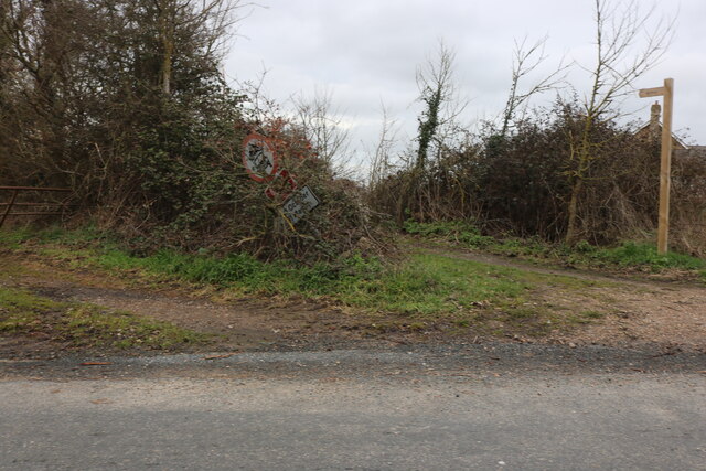
Beacon Hill is a prominent hill located in the county of Essex, England. Standing at an elevation of approximately 105 meters (344 feet), it is a popular destination for locals and visitors alike.
Situated near the village of Great Burstead, Beacon Hill offers breathtaking panoramic views of the surrounding countryside. On clear days, it is even possible to see the London skyline in the distance. The hill is easily accessible by foot, with several footpaths leading up to its summit.
The name "Beacon Hill" derives from its historical use as a beacon site. In the past, beacons were lit on the hilltop to warn of impending danger, such as the approach of enemy forces. The hill's strategic location made it an ideal spot for these warning signals.
Today, Beacon Hill is a designated nature reserve, managed by the Essex Wildlife Trust. The site boasts a diverse range of habitats, including woodland, grassland, and heathland. This rich biodiversity attracts a wide variety of wildlife, making it a haven for nature enthusiasts and birdwatchers.
Visitors to Beacon Hill can enjoy leisurely walks along its well-maintained paths, taking in the stunning scenery and observing the local flora and fauna. The hill also offers picnic areas, allowing visitors to relax and unwind while enjoying the picturesque surroundings.
Overall, Beacon Hill in Essex is a captivating natural landmark, combining its historical significance with its natural beauty. It provides a peaceful escape from the hustle and bustle of everyday life, offering a tranquil retreat for all who visit.
If you have any feedback on the listing, please let us know in the comments section below.
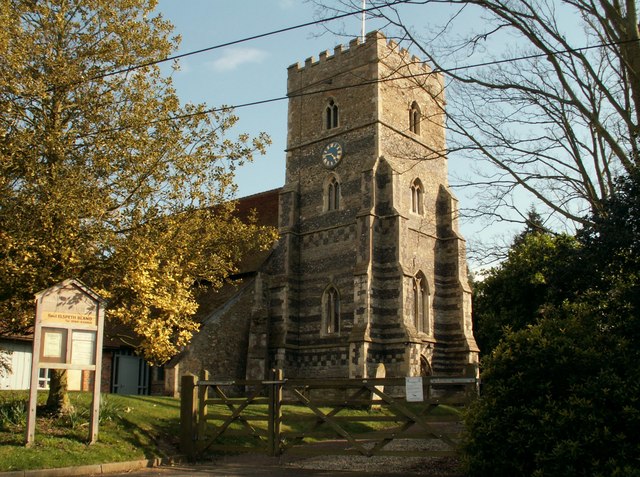
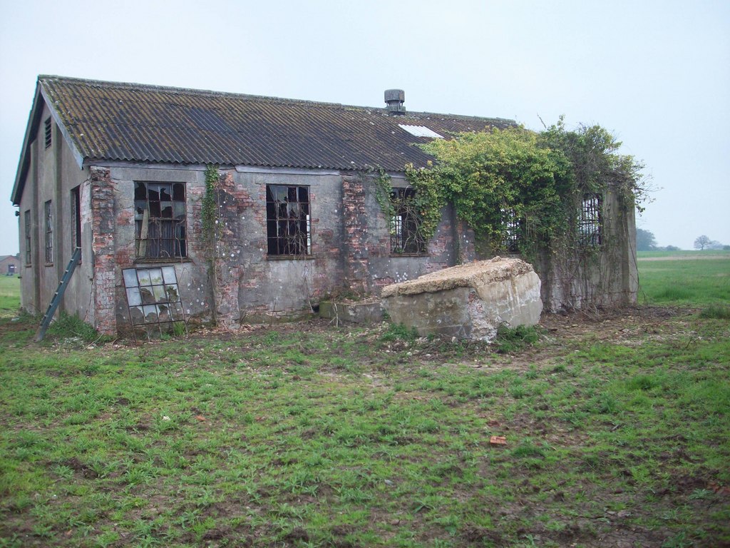
Beacon Hill Images
Images are sourced within 2km of 51.670841/0.66625351 or Grid Reference TL8400. Thanks to Geograph Open Source API. All images are credited.


Beacon Hill is located at Grid Ref: TL8400 (Lat: 51.670841, Lng: 0.66625351)
Administrative County: Essex
District: Maldon
Police Authority: Essex
What 3 Words
///cook.waltzes.pages. Near Cold Norton, Essex
Nearby Locations
Related Wikis
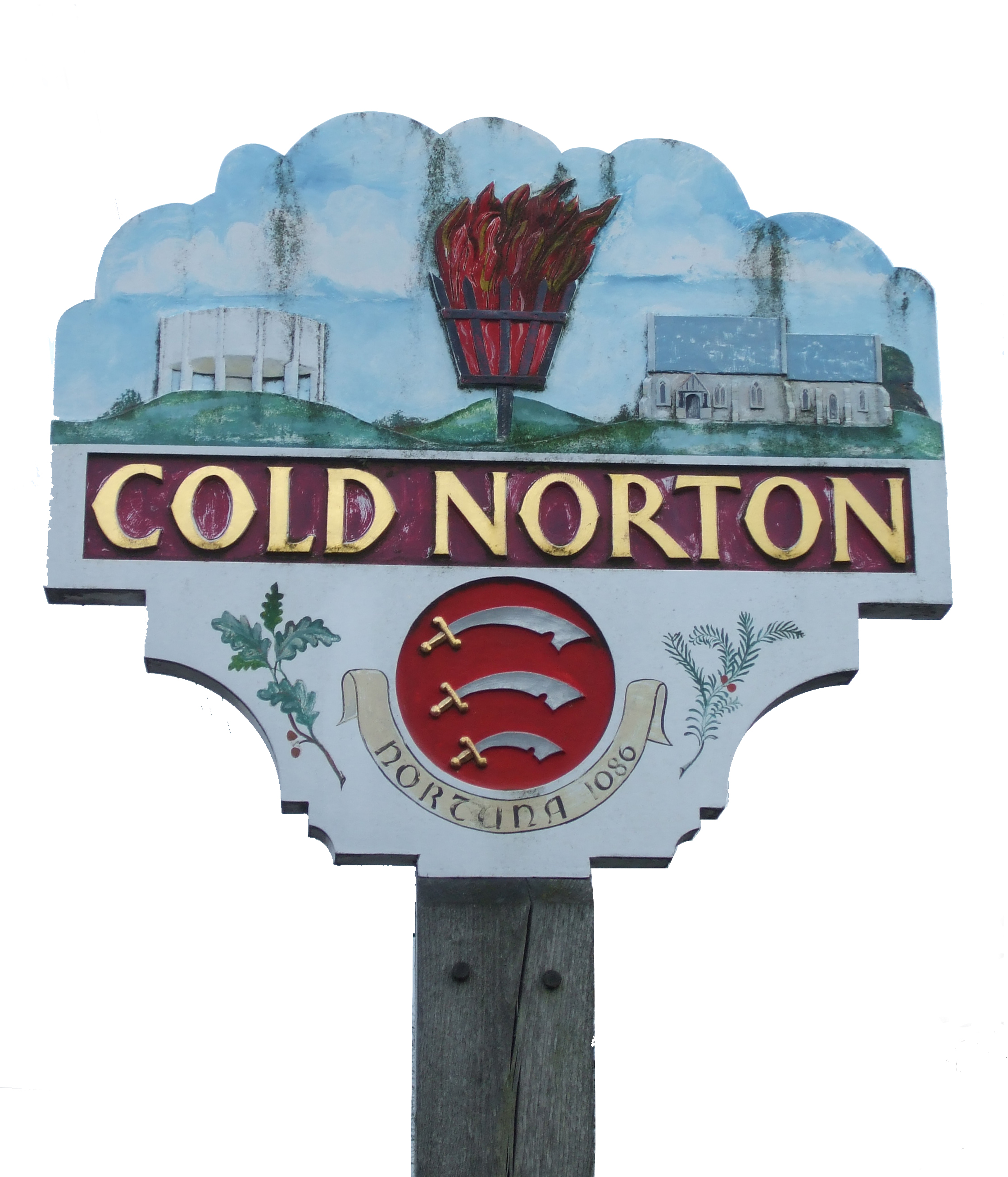
Cold Norton
Cold Norton is a village on the Dengie Peninsula in Essex, England. It is located in rural countryside 10 miles to the east of Chelmsford, and lies just...
Cold Norton railway station
Cold Norton railway station served the village of Cold Norton, Essex. It was opened on 1 October 1889 by the Great Eastern Railway on a single-track branch...
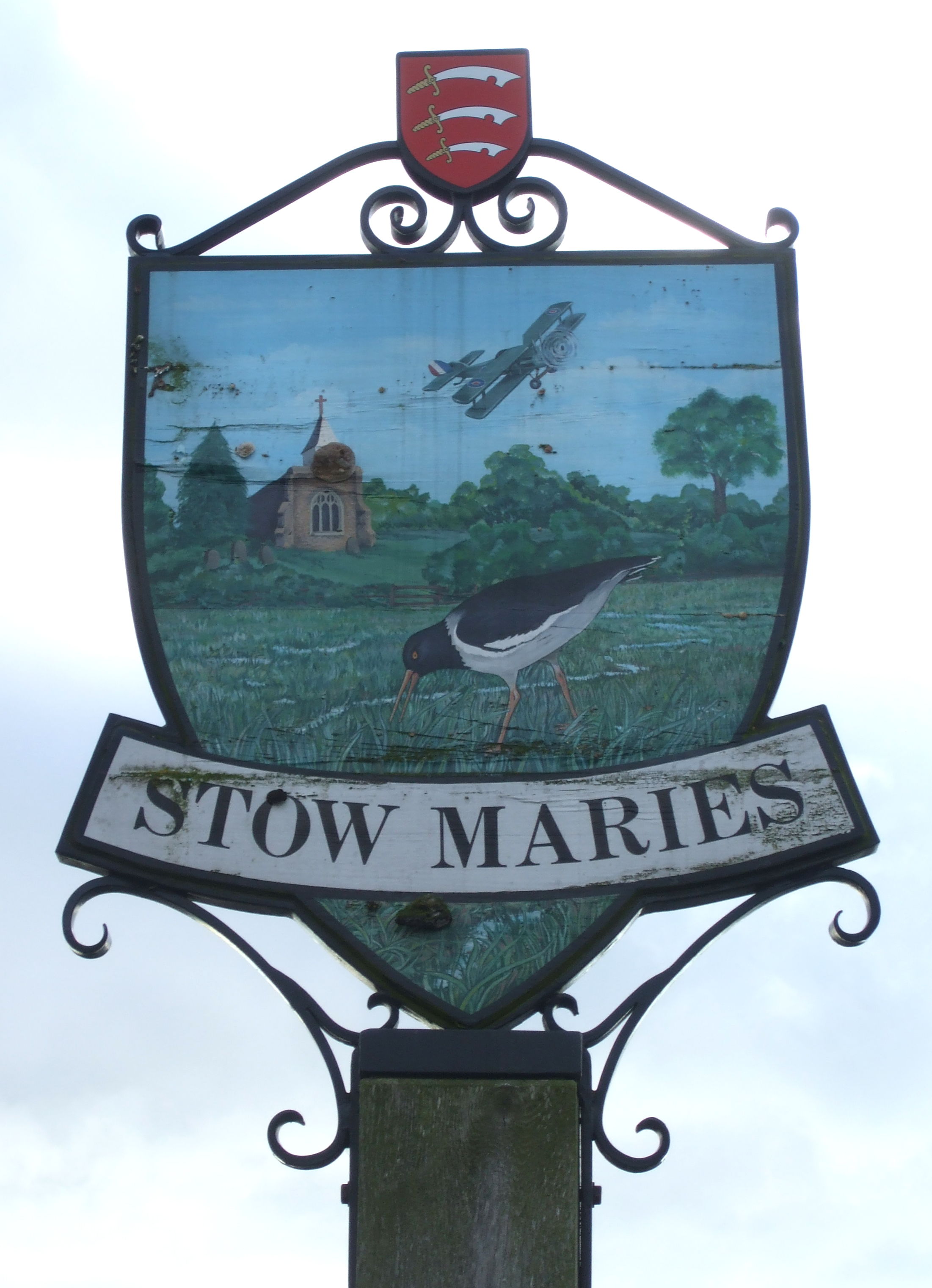
Stow Maries
Stow Maries is a village and civil parish in the English county of Essex. It is located on the western (inland) end of the Dengie peninsula and forms part...
Stow Maries Halt
Stow Maries Halt is a 2.2-hectare (5.4-acre) nature reserve south of Stow Maries in Essex. It is owned and managed by the Essex Wildlife Trust.The former...

Stow St Mary Halt railway station
Stow St. Mary Halt railway station was a halt that served the village of Stow Maries, Essex. It was opened on 24 September 1928 by the London and North...
Purleigh
Purleigh is a village on the Dengie peninsula about 4 miles (6.4 km) south of Maldon in the English county of Essex. The village is part of the Purleigh...
Barons Lane Halt railway station
Barons Lane Halt railway station was a halt that served the village of Purleigh, Essex. It was 4 miles 24 chains (6.92 km) from Wickford Junction. The...
Stow Maries Aerodrome
Stow Maries Aerodrome is a historical airfield located in the village of Stow Maries, Essex, England. The airfield was in use by the Royal Flying Corps...
Nearby Amenities
Located within 500m of 51.670841,0.66625351Have you been to Beacon Hill?
Leave your review of Beacon Hill below (or comments, questions and feedback).