Twenty Acre Hill

Hill, Mountain in Suffolk West Suffolk

England

Twenty Acre Hill

Newmarket Road, Risby
Newmarket Road, Risby Credit: David Howard

Twenty Acre Hill is a prominent hill located in Suffolk, England. As its name suggests, it covers an area of approximately twenty acres and is situated in the eastern part of the county. Although not considered a mountain by conventional standards, it is a notable geological feature in an otherwise flat landscape.

The hill is characterized by its gentle slopes and is composed mainly of chalk, a common rock type in this region. It stands at an elevation of around 80 meters above sea level, providing visitors with panoramic views of the surrounding countryside.

The site is popular among locals and tourists alike, offering a tranquil escape from the bustling towns nearby. Its elevated position makes it an ideal spot for hiking, picnicking, and enjoying the natural beauty of the area. It is also a favored location for landscape photographers, who are drawn to its sweeping vistas and ever-changing light.

Flora and fauna are abundant on Twenty Acre Hill, with a variety of plant species, such as wildflowers and grasses, covering its slopes. The area is also home to a diverse range of wildlife, including birds, butterflies, and small mammals.

Access to the hill is straightforward, with well-maintained footpaths leading to the summit. There are also information boards along the way, providing visitors with interesting facts about the hill's geological history and its ecological importance.

Overall, Twenty Acre Hill is a picturesque and accessible natural landmark, offering visitors a chance to appreciate the beauty of the Suffolk countryside while enjoying outdoor activities in a tranquil setting.

If you have any feedback on the listing, please let us know in the comments section below.

Twenty Acre Hill Images

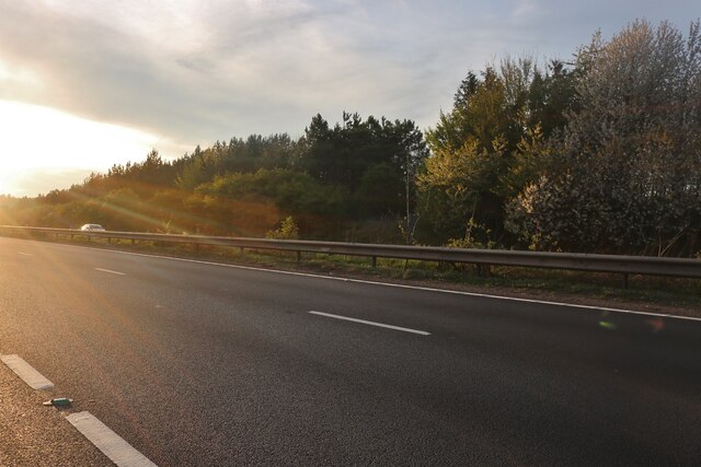
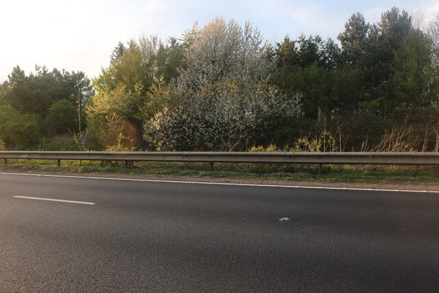
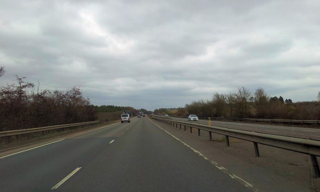
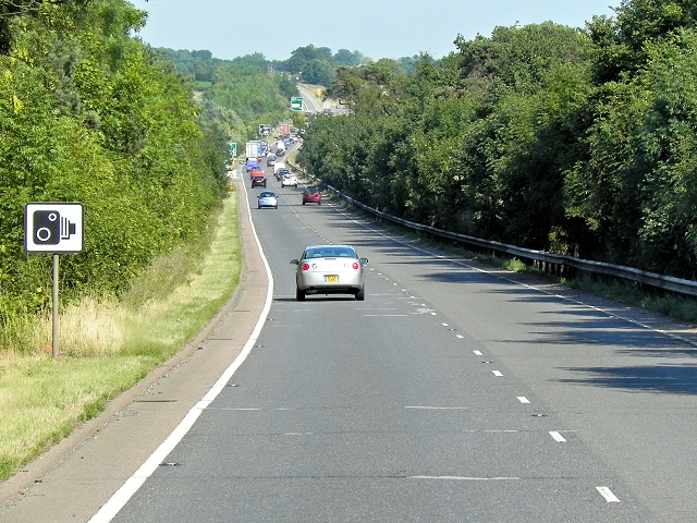
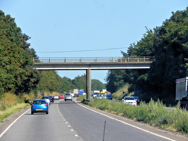
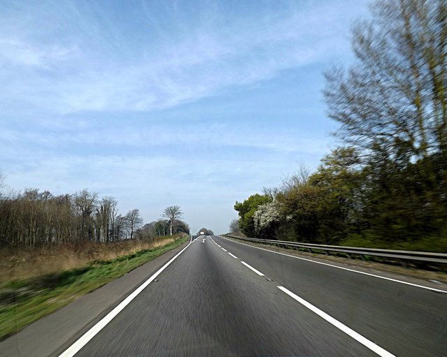
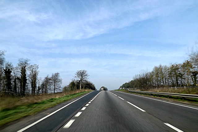
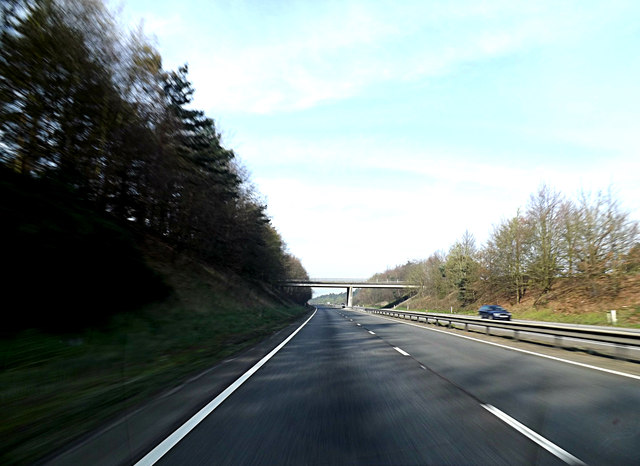
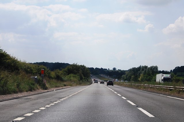
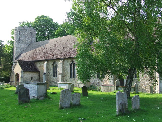
Images are sourced within 2km of 52.271723/0.60299588 or Grid Reference TL7766. Thanks to Geograph Open Source API. All images are credited.

Newmarket Road, Risby
The A14 near Barrow Bottom
Speed Camera Warning Sign, Eastbound A14 The A14 is a major road which runs for 129 miles from the Port of Felixstowe to the Catthorpe Interchange, the junction of the M1 and M6 motorways near Rugby.

The route linking Rugby (and therefore the West Midlands and the north of England via the motorway network) to East Anglia and the ports of Felixstowe and Harwich is incredibly important and incredibly busy (Felixstowe is the UK's principal container port and the A14 is the road between Felixstowe and everywhere else) but it didn't exist in any coherent form until about 1992.

Prior to the current A14 the main route from Birmingham to the Haven ports followed the old A45 road via Coventry, Rugby, Northampton, St Neots, Cambridge and then through all the towns on the A14, from there to Ipswich where it ended on the A12 – not the fast route required for transporting goods across the country with the sudden rise in container shipping during the latter part of the twentieth century.

Most of the current A14 route is a collection of bits of dual carriageway acquired from other roads (most notably the A45) with occasional stretches of new road to bolt it all together. Because of its importance to the country’s economy, there are plans to upgrade it further.

Prior to its use for the current route the A14 designation had been used for a section of road between the A10 at Royston and the A1 at Alconbury following part of the route of the Roman road, Ermine Street, which is now mostly designated as the A1198. The only bit of the current A14 that follows that number's original route is the spur linking junction 23 to the A1.

<span class="nowrap"><a title="http://www.cbrd.co.uk/motorway/a14" rel="nofollow ugc noopener" href="http://www.cbrd.co.uk/motorway/a14">Link</a><img style="margin-left:2px;" alt="External link" title="External link - shift click to open in new window" src="https://s1.geograph.org.uk/img/external.png" width="10" height="10"/></span> Chris's British Road Directory
<span class="nowrap"><a title="http://en.wikipedia.org/wiki/A14_road_(England)" rel="nofollow ugc noopener" href="http://en.wikipedia.org/wiki/A14_road_(England)">Link</a><img style="margin-left:2px;" alt="External link" title="External link - shift click to open in new window" src="https://s1.geograph.org.uk/img/external.png" width="10" height="10"/></span>  Wikipedia
Speed Camera Warning Sign, Eastbound A14
The A14 is a major road which runs for 129 miles from the Port of Felixstowe to the Catthorpe Interchange, the junction of the M1 and M6 motorways near Rugby. The route linking Rugby (and therefore the West Midlands and the north of England via the motorway network) to East Anglia and the ports of Felixstowe and Harwich is incredibly important and incredibly busy (Felixstowe is the UK's principal container port and the A14 is the road between Felixstowe and everywhere else) but it didn't exist in any coherent form until about 1992. Prior to the current A14 the main route from Birmingham to the Haven ports followed the old A45 road via Coventry, Rugby, Northampton, St Neots, Cambridge and then through all the towns on the A14, from there to Ipswich where it ended on the A12 – not the fast route required for transporting goods across the country with the sudden rise in container shipping during the latter part of the twentieth century. Most of the current A14 route is a collection of bits of dual carriageway acquired from other roads (most notably the A45) with occasional stretches of new road to bolt it all together. Because of its importance to the country’s economy, there are plans to upgrade it further. Prior to its use for the current route the A14 designation had been used for a section of road between the A10 at Royston and the A1 at Alconbury following part of the route of the Roman road, Ermine Street, which is now mostly designated as the A1198. The only bit of the current A14 that follows that number's original route is the spur linking junction 23 to the A1. LinkExternal link Chris's British Road Directory LinkExternal link Wikipedia
Layby on the A14 near Barrow Bottom The A14 is a major road which runs for 129 miles from the Port of Felixstowe to the Catthorpe Interchange, the junction of the M1 and M6 motorways near Rugby.

The route linking Rugby (and therefore the West Midlands and the north of England via the motorway network) to East Anglia and the ports of Felixstowe and Harwich is incredibly important and incredibly busy (Felixstowe is the UK's principal container port and the A14 is the road between Felixstowe and everywhere else) but it didn't exist in any coherent form until about 1992.

Prior to the current A14 the main route from Birmingham to the Haven ports followed the old A45 road via Coventry, Rugby, Northampton, St Neots, Cambridge and then through all the towns on the A14, from there to Ipswich where it ended on the A12 – not the fast route required for transporting goods across the country with the sudden rise in container shipping during the latter part of the twentieth century.

Most of the current A14 route is a collection of bits of dual carriageway acquired from other roads (most notably the A45) with occasional stretches of new road to bolt it all together. Because of its importance to the country’s economy, there are plans to upgrade it further.

Prior to its use for the current route the A14 designation had been used for a section of road between the A10 at Royston and the A1 at Alconbury following part of the route of the Roman road, Ermine Street, which is now mostly designated as the A1198. The only bit of the current A14 that follows that number's original route is the spur linking junction 23 to the A1.

<span class="nowrap"><a title="http://www.cbrd.co.uk/motorway/a14" rel="nofollow ugc noopener" href="http://www.cbrd.co.uk/motorway/a14">Link</a><img style="margin-left:2px;" alt="External link" title="External link - shift click to open in new window" src="https://s1.geograph.org.uk/img/external.png" width="10" height="10"/></span> Chris's British Road Directory
<span class="nowrap"><a title="http://en.wikipedia.org/wiki/A14_road_(England)" rel="nofollow ugc noopener" href="http://en.wikipedia.org/wiki/A14_road_(England)">Link</a><img style="margin-left:2px;" alt="External link" title="External link - shift click to open in new window" src="https://s1.geograph.org.uk/img/external.png" width="10" height="10"/></span>  Wikipedia
Layby on the A14 near Barrow Bottom
The A14 is a major road which runs for 129 miles from the Port of Felixstowe to the Catthorpe Interchange, the junction of the M1 and M6 motorways near Rugby. The route linking Rugby (and therefore the West Midlands and the north of England via the motorway network) to East Anglia and the ports of Felixstowe and Harwich is incredibly important and incredibly busy (Felixstowe is the UK's principal container port and the A14 is the road between Felixstowe and everywhere else) but it didn't exist in any coherent form until about 1992. Prior to the current A14 the main route from Birmingham to the Haven ports followed the old A45 road via Coventry, Rugby, Northampton, St Neots, Cambridge and then through all the towns on the A14, from there to Ipswich where it ended on the A12 – not the fast route required for transporting goods across the country with the sudden rise in container shipping during the latter part of the twentieth century. Most of the current A14 route is a collection of bits of dual carriageway acquired from other roads (most notably the A45) with occasional stretches of new road to bolt it all together. Because of its importance to the country’s economy, there are plans to upgrade it further. Prior to its use for the current route the A14 designation had been used for a section of road between the A10 at Royston and the A1 at Alconbury following part of the route of the Roman road, Ermine Street, which is now mostly designated as the A1198. The only bit of the current A14 that follows that number's original route is the spur linking junction 23 to the A1. LinkExternal link Chris's British Road Directory LinkExternal link Wikipedia
Eastbound A14, Barrow Bottom The A14 is a major road which runs for 129 miles from the Port of Felixstowe to the Catthorpe Interchange, the junction of the M1 and M6 motorways near Rugby.

The route linking Rugby (and therefore the West Midlands and the north of England via the motorway network) to East Anglia and the ports of Felixstowe and Harwich is incredibly important and incredibly busy (Felixstowe is the UK's principal container port and the A14 is the road between Felixstowe and everywhere else) but it didn't exist in any coherent form until about 1992.

Prior to the current A14 the main route from Birmingham to the Haven ports followed the old A45 road via Coventry, Rugby, Northampton, St Neots, Cambridge and then through all the towns on the A14, from there to Ipswich where it ended on the A12 – not the fast route required for transporting goods across the country with the sudden rise in container shipping during the latter part of the twentieth century.

Most of the current A14 route is a collection of bits of dual carriageway acquired from other roads (most notably the A45) with occasional stretches of new road to bolt it all together. Because of its importance to the country’s economy, there are plans to upgrade it further.

Prior to its use for the current route the A14 designation had been used for a section of road between the A10 at Royston and the A1 at Alconbury following part of the route of the Roman road, Ermine Street, which is now mostly designated as the A1198. The only bit of the current A14 that follows that number's original route is the spur linking junction 23 to the A1.

<span class="nowrap"><a title="http://www.cbrd.co.uk/motorway/a14" rel="nofollow ugc noopener" href="http://www.cbrd.co.uk/motorway/a14">Link</a><img style="margin-left:2px;" alt="External link" title="External link - shift click to open in new window" src="https://s1.geograph.org.uk/img/external.png" width="10" height="10"/></span> Chris's British Road Directory
<span class="nowrap"><a title="http://en.wikipedia.org/wiki/A14_road_(England)" rel="nofollow ugc noopener" href="http://en.wikipedia.org/wiki/A14_road_(England)">Link</a><img style="margin-left:2px;" alt="External link" title="External link - shift click to open in new window" src="https://s1.geograph.org.uk/img/external.png" width="10" height="10"/></span>  Wikipedia
Eastbound A14, Barrow Bottom
The A14 is a major road which runs for 129 miles from the Port of Felixstowe to the Catthorpe Interchange, the junction of the M1 and M6 motorways near Rugby. The route linking Rugby (and therefore the West Midlands and the north of England via the motorway network) to East Anglia and the ports of Felixstowe and Harwich is incredibly important and incredibly busy (Felixstowe is the UK's principal container port and the A14 is the road between Felixstowe and everywhere else) but it didn't exist in any coherent form until about 1992. Prior to the current A14 the main route from Birmingham to the Haven ports followed the old A45 road via Coventry, Rugby, Northampton, St Neots, Cambridge and then through all the towns on the A14, from there to Ipswich where it ended on the A12 – not the fast route required for transporting goods across the country with the sudden rise in container shipping during the latter part of the twentieth century. Most of the current A14 route is a collection of bits of dual carriageway acquired from other roads (most notably the A45) with occasional stretches of new road to bolt it all together. Because of its importance to the country’s economy, there are plans to upgrade it further. Prior to its use for the current route the A14 designation had been used for a section of road between the A10 at Royston and the A1 at Alconbury following part of the route of the Roman road, Ermine Street, which is now mostly designated as the A1198. The only bit of the current A14 that follows that number's original route is the spur linking junction 23 to the A1. LinkExternal link Chris's British Road Directory LinkExternal link Wikipedia
Eastbound A14 approaching junction 41
Junction 41, Eastbound A14 The A14 is a major road which runs for 129 miles from the Port of Felixstowe to the Catthorpe Interchange, the junction of the M1 and M6 motorways near Rugby.

The route linking Rugby (and therefore the West Midlands and the north of England via the motorway network) to East Anglia and the ports of Felixstowe and Harwich is incredibly important and incredibly busy (Felixstowe is the UK's principal container port and the A14 is the road between Felixstowe and everywhere else) but it didn't exist in any coherent form until about 1992.

Prior to the current A14 the main route from Birmingham to the Haven ports followed the old A45 road via Coventry, Rugby, Northampton, St Neots, Cambridge and then through all the towns on the A14, from there to Ipswich where it ended on the A12 – not the fast route required for transporting goods across the country with the sudden rise in container shipping during the latter part of the twentieth century.

Most of the current A14 route is a collection of bits of dual carriageway acquired from other roads (most notably the A45) with occasional stretches of new road to bolt it all together. Because of its importance to the country’s economy, there are plans to upgrade it further.

Prior to its use for the current route the A14 designation had been used for a section of road between the A10 at Royston and the A1 at Alconbury following part of the route of the Roman road, Ermine Street, which is now mostly designated as the A1198. The only bit of the current A14 that follows that number's original route is the spur linking junction 23 to the A1.

<span class="nowrap"><a title="http://www.cbrd.co.uk/motorway/a14" rel="nofollow ugc noopener" href="http://www.cbrd.co.uk/motorway/a14">Link</a><img style="margin-left:2px;" alt="External link" title="External link - shift click to open in new window" src="https://s1.geograph.org.uk/img/external.png" width="10" height="10"/></span> Chris's British Road Directory
<span class="nowrap"><a title="http://en.wikipedia.org/wiki/A14_road_(England)" rel="nofollow ugc noopener" href="http://en.wikipedia.org/wiki/A14_road_(England)">Link</a><img style="margin-left:2px;" alt="External link" title="External link - shift click to open in new window" src="https://s1.geograph.org.uk/img/external.png" width="10" height="10"/></span>  Wikipedia
Junction 41, Eastbound A14
The A14 is a major road which runs for 129 miles from the Port of Felixstowe to the Catthorpe Interchange, the junction of the M1 and M6 motorways near Rugby. The route linking Rugby (and therefore the West Midlands and the north of England via the motorway network) to East Anglia and the ports of Felixstowe and Harwich is incredibly important and incredibly busy (Felixstowe is the UK's principal container port and the A14 is the road between Felixstowe and everywhere else) but it didn't exist in any coherent form until about 1992. Prior to the current A14 the main route from Birmingham to the Haven ports followed the old A45 road via Coventry, Rugby, Northampton, St Neots, Cambridge and then through all the towns on the A14, from there to Ipswich where it ended on the A12 – not the fast route required for transporting goods across the country with the sudden rise in container shipping during the latter part of the twentieth century. Most of the current A14 route is a collection of bits of dual carriageway acquired from other roads (most notably the A45) with occasional stretches of new road to bolt it all together. Because of its importance to the country’s economy, there are plans to upgrade it further. Prior to its use for the current route the A14 designation had been used for a section of road between the A10 at Royston and the A1 at Alconbury following part of the route of the Roman road, Ermine Street, which is now mostly designated as the A1198. The only bit of the current A14 that follows that number's original route is the spur linking junction 23 to the A1. LinkExternal link Chris's British Road Directory LinkExternal link Wikipedia
Eastbound A14 Bridge (New Road) The A14 is a major road which runs for 129 miles from the Port of Felixstowe to the Catthorpe Interchange, the junction of the M1 and M6 motorways near Rugby.

The route linking Rugby (and therefore the West Midlands and the north of England via the motorway network) to East Anglia and the ports of Felixstowe and Harwich is incredibly important and incredibly busy (Felixstowe is the UK's principal container port and the A14 is the road between Felixstowe and everywhere else) but it didn't exist in any coherent form until about 1992.

Prior to the current A14 the main route from Birmingham to the Haven ports followed the old A45 road via Coventry, Rugby, Northampton, St Neots, Cambridge and then through all the towns on the A14, from there to Ipswich where it ended on the A12 – not the fast route required for transporting goods across the country with the sudden rise in container shipping during the latter part of the twentieth century.

Most of the current A14 route is a collection of bits of dual carriageway acquired from other roads (most notably the A45) with occasional stretches of new road to bolt it all together. Because of its importance to the country’s economy, there are plans to upgrade it further.

Prior to its use for the current route the A14 designation had been used for a section of road between the A10 at Royston and the A1 at Alconbury following part of the route of the Roman road, Ermine Street, which is now mostly designated as the A1198. The only bit of the current A14 that follows that number's original route is the spur linking junction 23 to the A1.

<span class="nowrap"><a title="http://www.cbrd.co.uk/motorway/a14" rel="nofollow ugc noopener" href="http://www.cbrd.co.uk/motorway/a14">Link</a><img style="margin-left:2px;" alt="External link" title="External link - shift click to open in new window" src="https://s1.geograph.org.uk/img/external.png" width="10" height="10"/></span> Chris's British Road Directory
<span class="nowrap"><a title="http://en.wikipedia.org/wiki/A14_road_(England)" rel="nofollow ugc noopener" href="http://en.wikipedia.org/wiki/A14_road_(England)">Link</a><img style="margin-left:2px;" alt="External link" title="External link - shift click to open in new window" src="https://s1.geograph.org.uk/img/external.png" width="10" height="10"/></span>  Wikipedia
Eastbound A14 Bridge (New Road)
The A14 is a major road which runs for 129 miles from the Port of Felixstowe to the Catthorpe Interchange, the junction of the M1 and M6 motorways near Rugby. The route linking Rugby (and therefore the West Midlands and the north of England via the motorway network) to East Anglia and the ports of Felixstowe and Harwich is incredibly important and incredibly busy (Felixstowe is the UK's principal container port and the A14 is the road between Felixstowe and everywhere else) but it didn't exist in any coherent form until about 1992. Prior to the current A14 the main route from Birmingham to the Haven ports followed the old A45 road via Coventry, Rugby, Northampton, St Neots, Cambridge and then through all the towns on the A14, from there to Ipswich where it ended on the A12 – not the fast route required for transporting goods across the country with the sudden rise in container shipping during the latter part of the twentieth century. Most of the current A14 route is a collection of bits of dual carriageway acquired from other roads (most notably the A45) with occasional stretches of new road to bolt it all together. Because of its importance to the country’s economy, there are plans to upgrade it further. Prior to its use for the current route the A14 designation had been used for a section of road between the A10 at Royston and the A1 at Alconbury following part of the route of the Roman road, Ermine Street, which is now mostly designated as the A1198. The only bit of the current A14 that follows that number's original route is the spur linking junction 23 to the A1. LinkExternal link Chris's British Road Directory LinkExternal link Wikipedia
Bridge (New Road) over Westbound A14 The A14 is a major road which runs for 129 miles from the Port of Felixstowe to the Catthorpe Interchange, the junction of the M1 and M6 motorways near Rugby.

The route linking Rugby (and therefore the West Midlands and the north of England via the motorway network) to East Anglia and the ports of Felixstowe and Harwich is incredibly important and incredibly busy (Felixstowe is the UK's principal container port and the A14 is the road between Felixstowe and everywhere else) but it didn't exist in any coherent form until about 1992.

Prior to the current A14 the main route from Birmingham to the Haven ports followed the old A45 road via Coventry, Rugby, Northampton, St Neots, Cambridge and then through all the towns on the A14, from there to Ipswich where it ended on the A12 – not the fast route required for transporting goods across the country with the sudden rise in container shipping during the latter part of the twentieth century.

Most of the current A14 route is a collection of bits of dual carriageway acquired from other roads (most notably the A45) with occasional stretches of new road to bolt it all together. Because of its importance to the country’s economy, there are plans to upgrade it further.

Prior to its use for the current route the A14 designation had been used for a section of road between the A10 at Royston and the A1 at Alconbury following part of the route of the Roman road, Ermine Street, which is now mostly designated as the A1198. The only bit of the current A14 that follows that number's original route is the spur linking junction 23 to the A1.

<span class="nowrap"><a title="http://www.cbrd.co.uk/motorway/a14" rel="nofollow ugc noopener" href="http://www.cbrd.co.uk/motorway/a14">Link</a><img style="margin-left:2px;" alt="External link" title="External link - shift click to open in new window" src="https://s1.geograph.org.uk/img/external.png" width="10" height="10"/></span> Chris's British Road Directory
<span class="nowrap"><a title="http://en.wikipedia.org/wiki/A14_road_(England)" rel="nofollow ugc noopener" href="http://en.wikipedia.org/wiki/A14_road_(England)">Link</a><img style="margin-left:2px;" alt="External link" title="External link - shift click to open in new window" src="https://s1.geograph.org.uk/img/external.png" width="10" height="10"/></span>  Wikipedia
Bridge (New Road) over Westbound A14
The A14 is a major road which runs for 129 miles from the Port of Felixstowe to the Catthorpe Interchange, the junction of the M1 and M6 motorways near Rugby. The route linking Rugby (and therefore the West Midlands and the north of England via the motorway network) to East Anglia and the ports of Felixstowe and Harwich is incredibly important and incredibly busy (Felixstowe is the UK's principal container port and the A14 is the road between Felixstowe and everywhere else) but it didn't exist in any coherent form until about 1992. Prior to the current A14 the main route from Birmingham to the Haven ports followed the old A45 road via Coventry, Rugby, Northampton, St Neots, Cambridge and then through all the towns on the A14, from there to Ipswich where it ended on the A12 – not the fast route required for transporting goods across the country with the sudden rise in container shipping during the latter part of the twentieth century. Most of the current A14 route is a collection of bits of dual carriageway acquired from other roads (most notably the A45) with occasional stretches of new road to bolt it all together. Because of its importance to the country’s economy, there are plans to upgrade it further. Prior to its use for the current route the A14 designation had been used for a section of road between the A10 at Royston and the A1 at Alconbury following part of the route of the Roman road, Ermine Street, which is now mostly designated as the A1198. The only bit of the current A14 that follows that number's original route is the spur linking junction 23 to the A1. LinkExternal link Chris's British Road Directory LinkExternal link Wikipedia
Westbound A14 Newmarket Road Approaching the Higham junction (Coalpit Lane)
Westbound A14 Newmarket Road
Approaching the Higham junction (Coalpit Lane)
Westbound A14 Newmarket Road At the Higham junction (coalpit Lane)
Westbound A14 Newmarket Road
At the Higham junction (coalpit Lane)
Westbound A14 Newmarket Road & New Road Bridge <span class="nowrap"><a title="https://en.wikipedia.org/wiki/Risby,_Suffolk" rel="nofollow ugc noopener" href="https://en.wikipedia.org/wiki/Risby,_Suffolk">Link</a><img style="margin-left:2px;" alt="External link" title="External link - shift click to open in new window" src="https://s1.geograph.org.uk/img/external.png" width="10" height="10"/></span>
Westbound A14 Newmarket Road & New Road Bridge
A14, Barrow Heath The A14 is a major road running 127 miles from Felixstowe to the Catthorpe Interchange, the junction of the M1 and M6 motorways near Rugby. The road connects East Anglia with the West Midlands and The North.
Wikipedia: <span class="nowrap"><a title="http://en.wikipedia.org/wiki/A14_road_(England)" rel="nofollow ugc noopener" href="http://en.wikipedia.org/wiki/A14_road_(England)">Link</a><img style="margin-left:2px;" alt="External link" title="External link - shift click to open in new window" src="https://s1.geograph.org.uk/img/external.png" width="10" height="10"/></span>
A14, Barrow Heath
The A14 is a major road running 127 miles from Felixstowe to the Catthorpe Interchange, the junction of the M1 and M6 motorways near Rugby. The road connects East Anglia with the West Midlands and The North. Wikipedia: LinkExternal link
A14, westbound The A14 is a major road running 127 miles from Felixstowe to the Catthorpe Interchange, the junction of the M1 and M6 motorways near Rugby. The road connects East Anglia with the West Midlands and The North.
Wikipedia: <span class="nowrap"><a title="http://en.wikipedia.org/wiki/A14_road_(England)" rel="nofollow ugc noopener" href="http://en.wikipedia.org/wiki/A14_road_(England)">Link</a><img style="margin-left:2px;" alt="External link" title="External link - shift click to open in new window" src="https://s1.geograph.org.uk/img/external.png" width="10" height="10"/></span>
A14, westbound
The A14 is a major road running 127 miles from Felixstowe to the Catthorpe Interchange, the junction of the M1 and M6 motorways near Rugby. The road connects East Anglia with the West Midlands and The North. Wikipedia: LinkExternal link
A14, New Road Bridge The A14 is a major road running 127 miles from Felixstowe to the Catthorpe Interchange, the junction of the M1 and M6 motorways near Rugby. The road connects East Anglia with the West Midlands and The North.
Wikipedia: <span class="nowrap"><a title="http://en.wikipedia.org/wiki/A14_road_(England)" rel="nofollow ugc noopener" href="http://en.wikipedia.org/wiki/A14_road_(England)">Link</a><img style="margin-left:2px;" alt="External link" title="External link - shift click to open in new window" src="https://s1.geograph.org.uk/img/external.png" width="10" height="10"/></span>
A14, New Road Bridge
The A14 is a major road running 127 miles from Felixstowe to the Catthorpe Interchange, the junction of the M1 and M6 motorways near Rugby. The road connects East Anglia with the West Midlands and The North. Wikipedia: LinkExternal link
A14 approaching Barrow Bottom The A14 is a major road running 127 miles from Felixstowe to the Catthorpe Interchange, the junction of the M1 and M6 motorways near Rugby. The road connects East Anglia with the West Midlands and The North.
Wikipedia: <span class="nowrap"><a title="http://en.wikipedia.org/wiki/A14_road_(England)" rel="nofollow ugc noopener" href="http://en.wikipedia.org/wiki/A14_road_(England)">Link</a><img style="margin-left:2px;" alt="External link" title="External link - shift click to open in new window" src="https://s1.geograph.org.uk/img/external.png" width="10" height="10"/></span>
A14 approaching Barrow Bottom
The A14 is a major road running 127 miles from Felixstowe to the Catthorpe Interchange, the junction of the M1 and M6 motorways near Rugby. The road connects East Anglia with the West Midlands and The North. Wikipedia: LinkExternal link
Show me another place!

Twenty Acre Hill is located at Grid Ref: TL7766 (Lat: 52.271723, Lng: 0.60299588)

Administrative County: Suffolk

District: West Suffolk

Police Authority: Suffolk

What 3 Words

///rungs.imperious.flash. Near Bury St Edmunds, Suffolk

Related Wikis

Risby, Suffolk

Risby is a village and civil parish in the West Suffolk district of Suffolk in eastern England, located around 3 miles (4.8 km) west of Bury St. Edmunds...

Black Ditches, Cavenham

Black Ditches is an earthwork close to the village of Cavenham of Suffolk, and part of it is a biological Site of Special Scientific Interest (SSSI). The...

Old Broom

Old Broom is a 6.5-hectare (16-acre) nature reserve north of Risby in Suffolk. It is managed by the Suffolk Wildlife Trust.This is a remnant of an ancient...

Saxham and Risby railway station

Saxham & Risby railway station was a station serving Risby in the English county of Suffolk. It was opened by the Great Eastern Railway in 1854 following...

Nearby Amenities

Located within 500m of 52.271723,0.60299588
The data included in this document is from www.openstreetmap.org. The data is made available under ODbL.

Have you been to Twenty Acre Hill?

Leave your review of Twenty Acre Hill below (or comments, questions and feedback).