Black Hill

Hill, Mountain in Suffolk West Suffolk

England

Black Hill

Houses in Icklingham Houses on the A1011 in the village of Icklingham.
Houses in Icklingham Credit: Philip Halling

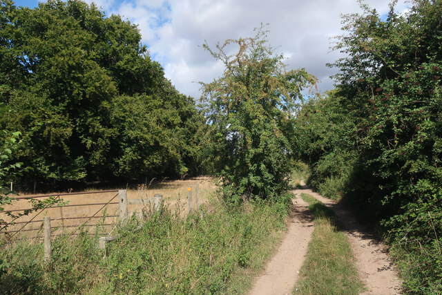
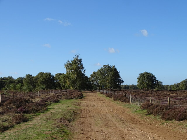
Black Hill is a prominent hill located in Suffolk, England. Rising 163 meters above sea level, it is considered one of the highest points in the region. Situated near the village of Ixworth, Black Hill forms part of the undulating landscape of the East Anglian region.

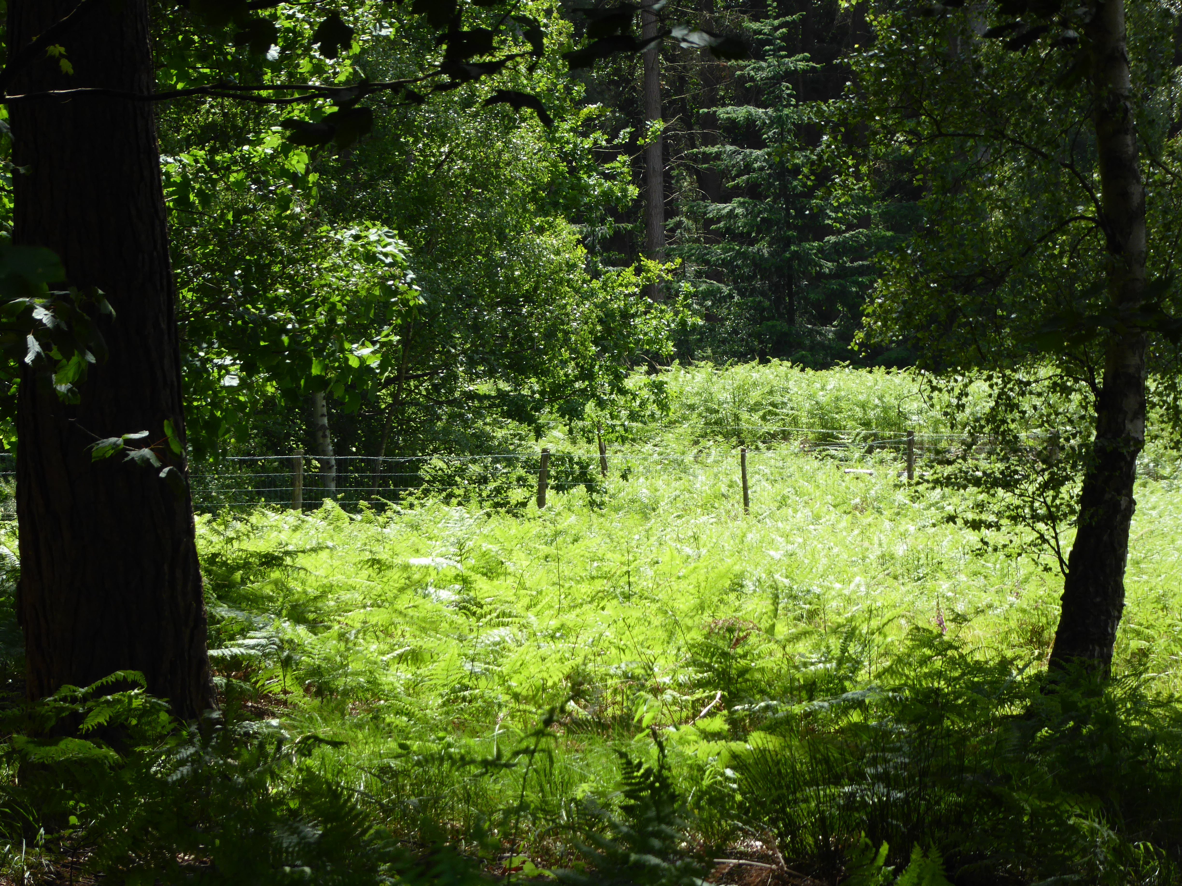
The hill is characterized by its distinctive black color, which is a result of the dark heathland soil found in the area. It is covered in heather, gorse, and bracken, creating a beautiful and diverse habitat for various wildlife species. The hill offers stunning panoramic views of the surrounding countryside, including the patchwork fields and villages that dot the landscape.

Black Hill has long been a popular destination for outdoor enthusiasts and nature lovers. It offers a range of walking trails and footpaths, allowing visitors to explore its natural beauty and enjoy the peaceful surroundings. The hill is also a great spot for picnicking, birdwatching, and photography.

In addition to its natural beauty, Black Hill also has historical significance. It is believed to have been a burial mound during the Bronze Age, with archaeological findings confirming human activity in the area dating back thousands of years.

Overall, Black Hill in Suffolk is a picturesque and historically rich destination, offering visitors the chance to immerse themselves in nature while enjoying breathtaking views of the countryside.

If you have any feedback on the listing, please let us know in the comments section below.
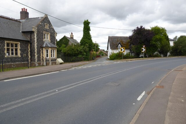
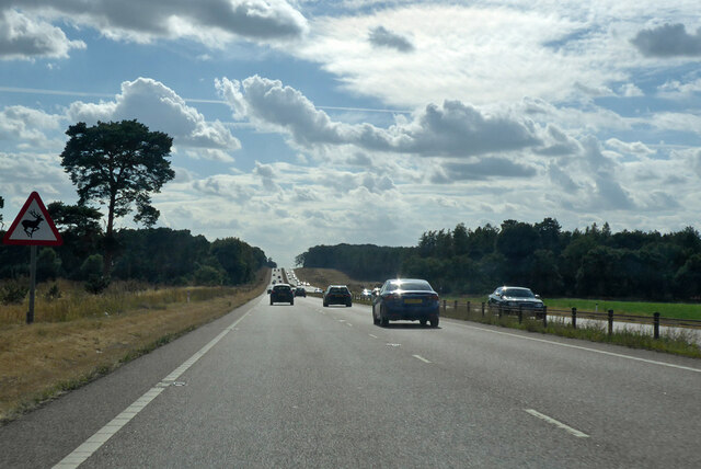
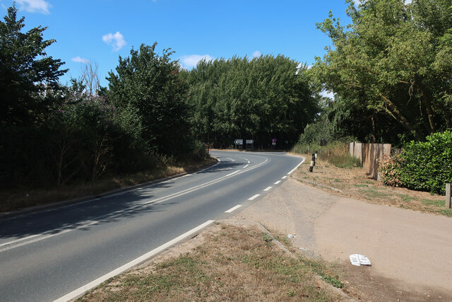
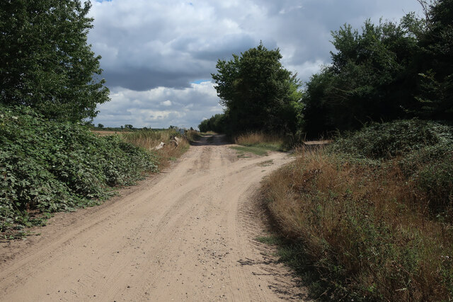
Black Hill Images

Images are sourced within 2km of 52.33335/0.56803744 or Grid Reference TL7573. Thanks to Geograph Open Source API. All images are credited.

Houses in Icklingham Houses on the A1011 in the village of Icklingham.
Houses in Icklingham
Houses on the A1011 in the village of Icklingham.
A11 towards London But no longer a continuous route with that number. Taking the A14 around Newmarket is the first interruption.
A11 towards London
But no longer a continuous route with that number. Taking the A14 around Newmarket is the first interruption.
A1101 out of Icklingham
Byway by Icklingham
Byway by Icklingham
Byway from Icklingham
River Lark
River Lark
River Lark
River Lark
Icknield Way
Icknield Way
Temple Bridge Ford This ford is found at Temple Bridge on the River Lark.
Temple Bridge Ford
This ford is found at Temple Bridge on the River Lark.
Field by Mildenhall Road, Barton Mills The new square begins roughly where the grass goes yellow.
Field by Mildenhall Road, Barton Mills
The new square begins roughly where the grass goes yellow.
Parking area on Mildenhall Road, Three Hills
Edge of Cavenham Heath
Cavenham Heath With some ground stripped to help the heathland birds of the area.
Cavenham Heath
With some ground stripped to help the heathland birds of the area.
Tuddenham Heath With some ground stripped to help the heathland birds of the area.
Tuddenham Heath
With some ground stripped to help the heathland birds of the area.
Cavenham Heath A good place to see Stone Curlews in autumn.
Cavenham Heath
A good place to see Stone Curlews in autumn.
Icknield Way through Cavenham Heath
Tuddenham Heath
Tuddenham Heath
Mildenhall Left Left turn off the A11 towards Mildenhall.
Mildenhall Left
Left turn off the A11 towards Mildenhall.
Show me another place!

Black Hill is located at Grid Ref: TL7573 (Lat: 52.33335, Lng: 0.56803744)

Administrative County: Suffolk

District: West Suffolk

Police Authority: Suffolk

What 3 Words

///regulator.trains.distracts. Near Mildenhall, Suffolk

Nearby Locations

Camp Close Black Hill

Related Wikis

Cavenham–Icklingham Heaths

Cavenham–Icklingham Heaths is a 419 hectare biological Site of Special Scientific Interest west of Icklingham in Suffolk. It is a Nature Conservation Review...

Rex Graham nature reserve

Rex Graham Reserve is a 2.8-hectare (6.9-acre) biological Site of Special Scientific Interest east of Mildenhall in Suffolk. It is a Special Area of Conservation...

Tuddenham

Tuddenham is a village and civil parish in the West Suffolk district of Suffolk in eastern England. In 2005 it had a population of 450. falling to 423...

RAF Tuddenham

Royal Air Force Tuddenham or RAF Tuddenham is a former Royal Air Force station located 3.2 miles (5.1 km) south east of Mildenhall, Suffolk, England and...

Nearby Amenities

Located within 500m of 52.33335,0.56803744
Power: pole
Lat/Long: 52.3339639/0.5672524
Power: pole
Lat/Long: 52.3315185/0.5645943
Power: pole
Lat/Long: 52.3340409/0.5673087
Power: pole
Lat/Long: 52.3335312/0.568631
Power: pole
Lat/Long: 52.3325199/0.5722869
Power: pole
Lat/Long: 52.3322642/0.563905
Power: pole
Lat/Long: 52.3352865/0.563272
Power: pole
Lat/Long: 52.3344277/0.5660427
Power: pole
Lat/Long: 52.3357159/0.5619121
Power: pole
Lat/Long: 52.330794/0.5653131
Power: pole
Lat/Long: 52.3348276/0.5647499
Power: pole
Lat/Long: 52.3317922/0.5746311
Power: pole
Lat/Long: 52.3330854/0.5631486
Power: pole
Lat/Long: 52.333641/0.5684996
Power: pole
Lat/Long: 52.3345474/0.5617512
Power: pole
Lat/Long: 52.3316807/0.5747089
Power: pole
Lat/Long: 52.3338033/0.5624673
Power: pole
Lat/Long: 52.3332149/0.5696288
Power: pole
Lat/Long: 52.3332182/0.5699587
Power: pole
Lat/Long: 52.3328609/0.5711765
Power: pole
Lat/Long: 52.3347457/0.564715
Power: pole
Lat/Long: 52.3321708/0.5734054
Power: pole
Lat/Long: 52.3358733/0.5620462
Power: pole
Lat/Long: 52.3325609/0.5711523
Power: pole
Lat/Long: 52.3352128/0.5631835
Power: pole
Lat/Long: 52.3343442/0.5660078
Power: pole
Lat/Long: 52.3320331/0.5735261
Bunker Type: pillbox
Military: bunker
Lat/Long: 52.3295472/0.5661327
Power: pole
Lat/Long: 52.3293511/0.5666782
Power: pole
Lat/Long: 52.3301033/0.5659861
Marker: aerial
Note: It seems that this gas marker (both in reality and on OSM) is unusually far (perhaps even 10m) from the actual line of the gas pipe as evidenced by crop marks, hedge breaks, cuttings in forests. I think this is a case where the gas people simply put the p
Utility: gas
Lat/Long: 52.3347434/0.5695775
The data included in this document is from www.openstreetmap.org. The data is made available under ODbL.

Have you been to Black Hill?

Leave your review of Black Hill below (or comments, questions and feedback).