Gallow Hill
Hill, Mountain in Norfolk King's Lynn and West Norfolk
England
Gallow Hill

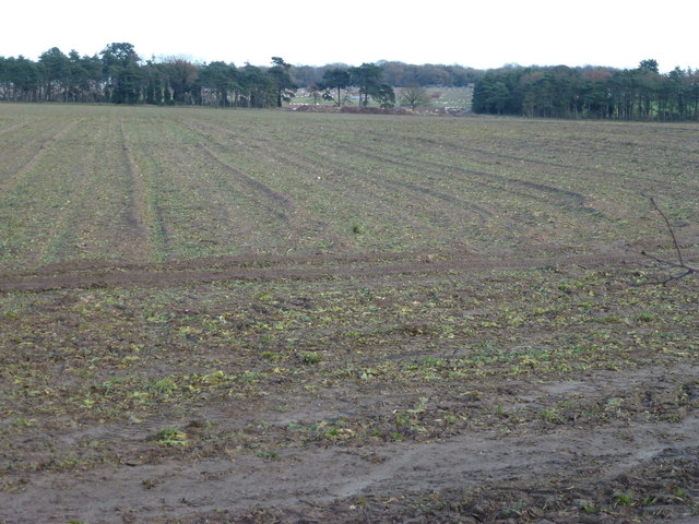
Gallow Hill is a prominent hill located in the county of Norfolk, England. Situated near the village of Great Massingham, it forms part of the picturesque landscape of the region. Despite being referred to as a hill, it is important to note that Gallow Hill is not a towering mountain but rather a modest elevated landform.
Rising to a height of approximately 80 meters (262 feet) above sea level, Gallow Hill offers stunning panoramic views of the surrounding countryside. The hill is primarily covered in grass and is devoid of any significant vegetation or trees. This allows for unobstructed vistas across the Norfolk landscape, particularly towards the west, where the hill drops down into a gently sloping valley.
Gallow Hill holds historical significance, as its name suggests a connection to gallows and executions. Although the exact details of such events are scarce, it is believed that the hill may have been a site for public executions in the past, giving it a somewhat eerie reputation.
Today, Gallow Hill serves as a popular destination for walkers, hikers, and nature enthusiasts. Its accessible location and relatively easy ascent make it an enjoyable outing for visitors of all ages. The hill's open expanse and lack of obstruction also make it an attractive spot for kite flying and picnicking.
In conclusion, Gallow Hill in Norfolk is a notable elevated landform offering stunning views of the countryside. With its historical significance and accessibility, it remains a popular destination for outdoor activities and exploration.
If you have any feedback on the listing, please let us know in the comments section below.
Gallow Hill Images
Images are sourced within 2km of 52.727521/0.58141521 or Grid Reference TF7417. Thanks to Geograph Open Source API. All images are credited.


Gallow Hill is located at Grid Ref: TF7417 (Lat: 52.727521, Lng: 0.58141521)
Administrative County: Norfolk
District: King's Lynn and West Norfolk
Police Authority: Norfolk
What 3 Words
///astounded.typhoon.juggle. Near Narborough, Norfolk
Nearby Locations
Related Wikis
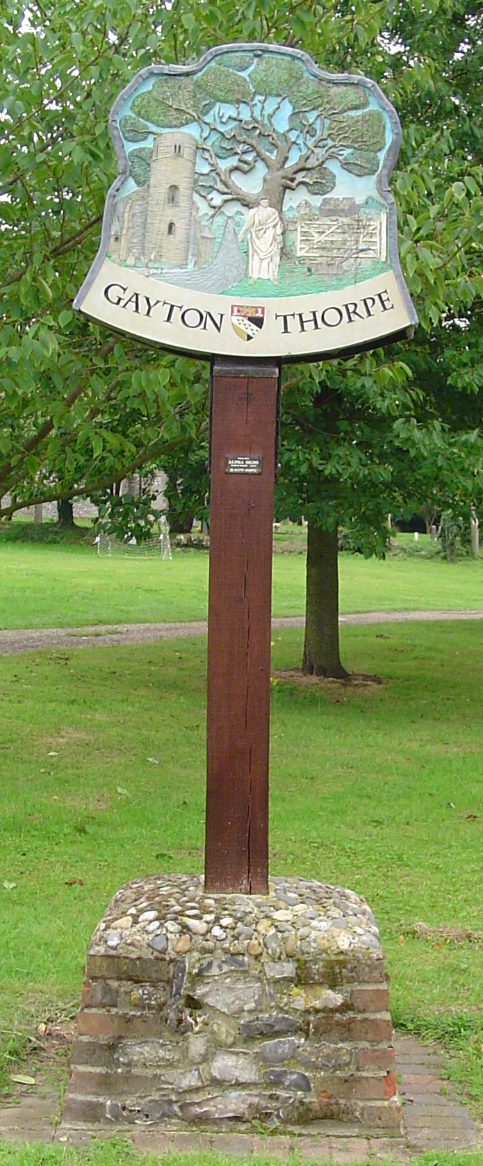
Gayton Thorpe
Gayton Thorpe is a village and former civil parish, now in the parish of Gayton, in the King's Lynn and West Norfolk district, in the county of Norfolk...

Gayton Thorpe Roman Villa
Gayton Thorpe Roman Villa is the site of a Roman villa, near Gayton Thorpe and about 5 miles (8 km) east of King's Lynn, in Norfolk, England. It was discovered...

East Walton and Adcock's Common
East Walton and Adcock's Common is a 62.4-hectare (154-acre) biological and geological Site of Special Scientific Interest south-east of King's Lynn in...

East Walton
East Walton is a village in the English county of Norfolk. The village is located 7.8 miles (12.6 km) south-east of King's Lynn and 31 miles (50 km) north...
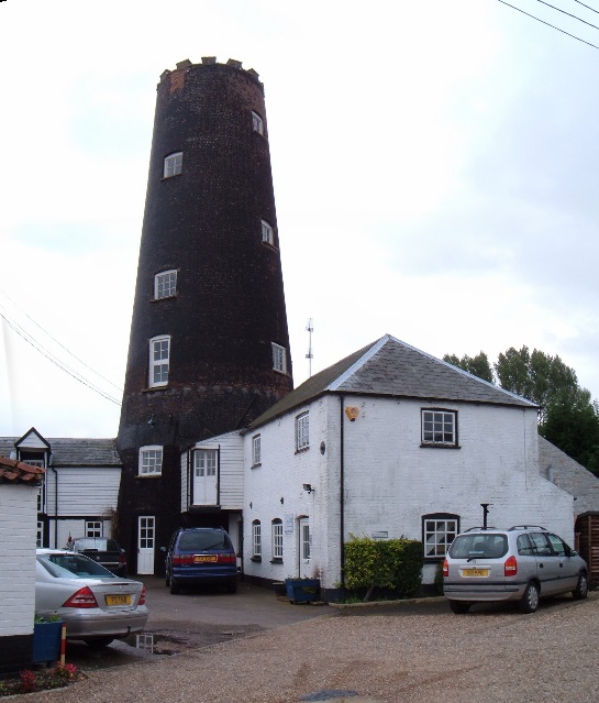
Gayton Windmill, Norfolk
For the Gayton Windmill now in Merseyside see Gayton Windmill, Cheshire Gayton Mill is a Grade II listed tower mill at Gayton, Norfolk, England which...
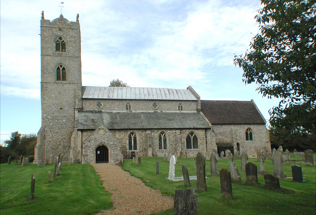
St Nicholas Church, Gayton
St Nicholas Church is a Church of England church located in Gayton, Norfolk. == Overview == The construction of the church building was completed in 1604...

Gayton, Norfolk
Gayton is a village and civil parish in the English county of Norfolk. The village is located 6 miles (9.7 km) east of King's Lynn and 32 miles (51 km...

Bilney railway station
Bilney railway station was located on the line between East Winch and Narborough and Pentney. It served the village of West Bilney, and closed in 1866...
Nearby Amenities
Located within 500m of 52.727521,0.58141521Have you been to Gallow Hill?
Leave your review of Gallow Hill below (or comments, questions and feedback).