Church Hill

Hill, Mountain in Essex Basildon

England

Church Hill

Church Road towards Bowers Hall
Church Road towards Bowers Hall Credit: JThomas

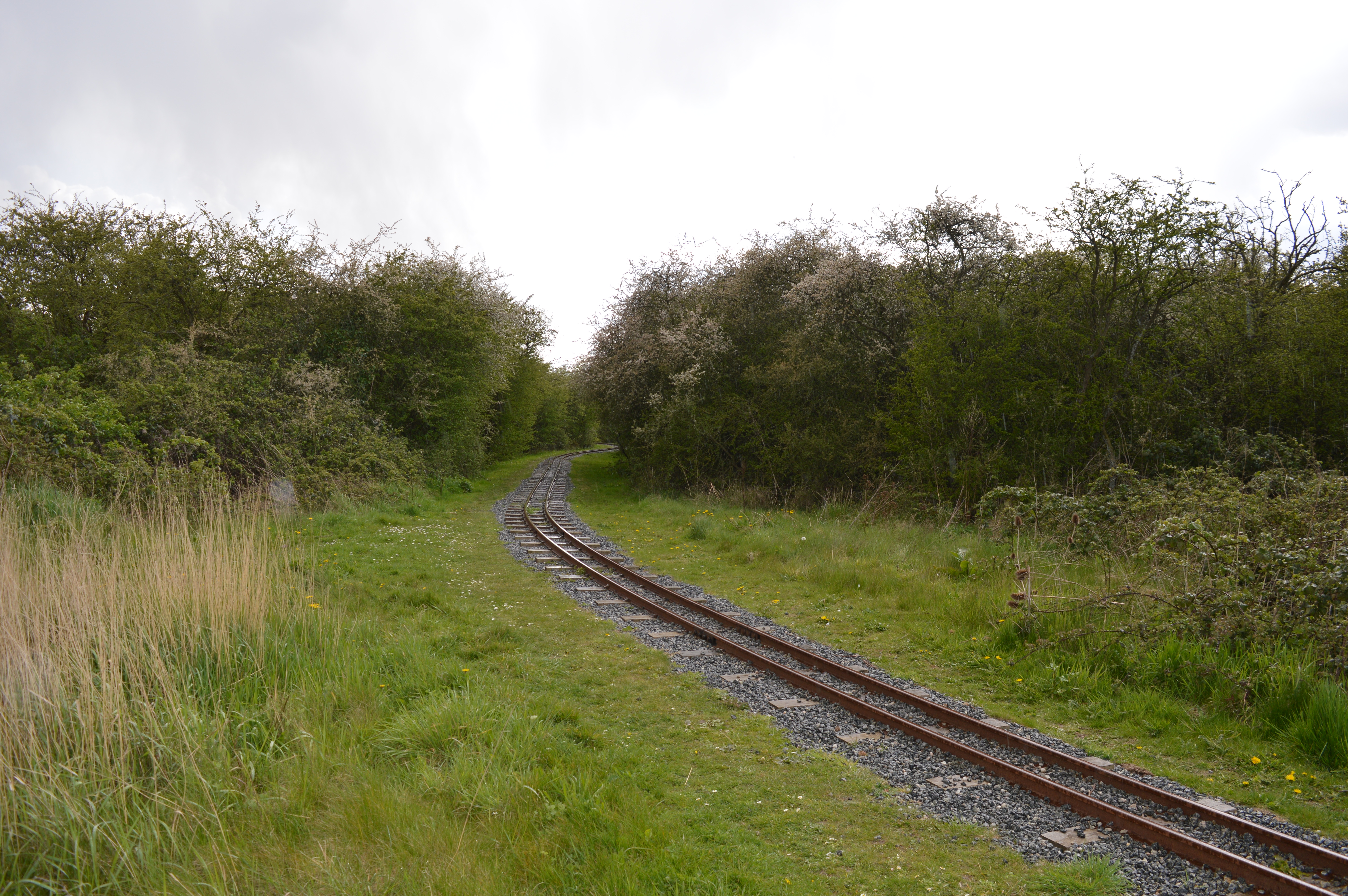
Church Hill is a prominent geographical feature located in the county of Essex, England. Situated in the southeastern part of the county, Church Hill is a hill or small mountain that stands at an elevation of approximately 164 feet (50 meters) above sea level. It is positioned near the small village of Church Hill, which takes its name from this geographical landmark.

The hill itself is characterized by its gentle slopes, covered in lush green vegetation and scattered with a variety of trees, including oak and beech. The surrounding landscape offers breathtaking views of the picturesque Essex countryside, with its patchwork of fields, farms, and charming villages.

Church Hill has long been recognized as an important historical site, with traces of human activity dating back thousands of years. Archaeological excavations have revealed remnants of ancient settlements and burial sites, including Bronze Age artifacts and Roman pottery fragments. This rich history adds to the area's allure and attracts visitors interested in exploring its past.

The hill also serves as a popular recreational spot, offering opportunities for hiking, nature walks, and picnicking. Several footpaths and trails crisscross the area, providing access to its natural beauty and allowing visitors to enjoy the tranquility of the surroundings.

Overall, Church Hill in Essex stands as a picturesque and historically significant landmark, providing both locals and tourists with a serene escape and a glimpse into the region's past.

If you have any feedback on the listing, please let us know in the comments section below.
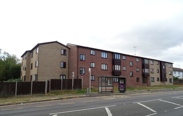
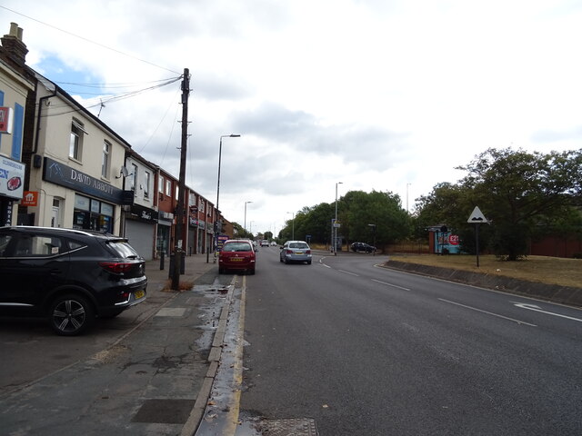
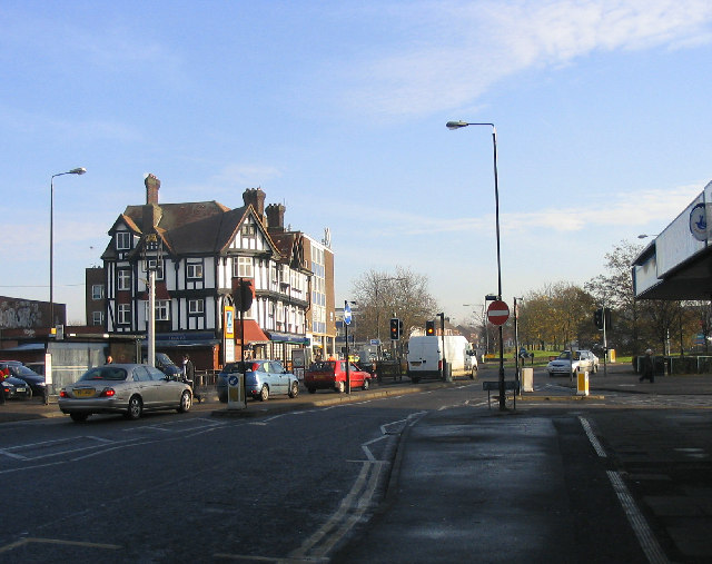
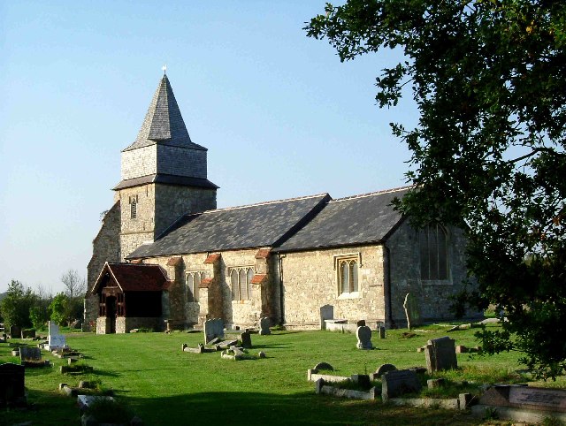
Church Hill Images

Images are sourced within 2km of 51.562119/0.50677949 or Grid Reference TQ7387. Thanks to Geograph Open Source API. All images are credited.

Church Road towards Bowers Hall
Grazing near Basildon
Clay Hill Road, Basildon
Flats off  Southview Road, Basildon
Flats off Southview Road, Basildon
Vange Library, Basildon
Bus stop and shelter on Clay Hill Road, Basildon
Bardfield Academy, Basildon
Flats, Middle Crockerford Basildon
Clay Hill Road (B1464), Basildon
St Chad's Church, Vange, Basildon
Chestnut Court Flats, Basildon.
Chestnut Court
Flats, Basildon.
Railway bridge over High Road (B1464)
TSB Bank, Pitsea
TSB Bank, Pitsea
Aldi supermarket, Pitsea, Basildon
B1464, Pitsea, Basildon
Post Office and shop, Pitsea, Basildon
Houses on London Road, Basildon
London Road (B1464), Basildon Towards Southend.
London Road (B1464), Basildon
Towards Southend.
Show me another place!

Church Hill is located at Grid Ref: TQ7387 (Lat: 51.562119, Lng: 0.50677949)

Administrative County: Essex

District: Basildon

Police Authority: Essex

What 3 Words

///nodded.tend.walks. Near Pitsea, Essex

Nearby Locations

Pitsea Creek Church Hill

Related Wikis

Pitsea railway station

Pitsea railway station is on the London, Tilbury and Southend line, serving the small town of Pitsea in the borough of Basildon, Essex. It is situated...

Pitsea waste management site

Pitsea waste management site is a large landfill site on the north side of the Thames estuary 0.7 miles (1.1 km) from Pitsea in Basildon, Essex. It is...

Chalvedon School

Chalvedon School and 6th Form College was a Specialist Technology College in Pitsea, Essex, England. It was a comprehensive school educating pupils aged...

Pitsea

Pitsea is a town and former civil parish in the Borough of Basildon in south Essex, England. It comprises five sub-districts: Eversley, Northlands Park...

Pitsea Marsh

Pitsea Marsh is a 94.6-hectare (234-acre) Site of Special Scientific Interest in Pitsea in Essex. The southern half is the Wat Tyler Country Park, and...

Bowers Gifford

Bowers Gifford is a small village and former civil parish, now in the parish of Bowers Gifford and North Benfleet, in the Basildon district, in Essex,...

Wat Tyler Country Park

Wat Tyler Country Park is a country park located to the south of Pitsea, Essex within the area of Pitsea Marsh. The area was inhabited from the Bronze...

Bowers & Pitsea F.C.

Bowers & Pitsea Football Club is a football club based in Pitsea, Essex, England. The club are currently members of the Isthmian League North Division...

Nearby Amenities

Located within 500m of 51.562119,0.50677949
Motorway Junction
Pitsea
Lat/Long: 51.5613067/0.5015864
Crossing Barrier: full
Maxheight: 16'6"
Railway: level_crossing
Lat/Long: 51.5600328/0.5046971
Mini Roundabout
Direction: clockwise
Lat/Long: 51.561526/0.5048047
Recycling
Recycling Type: container
Lat/Long: 51.5635047/0.500035
Fuel
Tesco
Addr City: Pitsea
Brand: Tesco
Brand Wikidata: Q487494
Brand Wikipedia: en:Tesco
Fuel Diesel: yes
Fuel Electricity: no
Fuel Octane 95: yes
Website: https://www.tesco.com/store-locator/basildon/off-high-road/petrol-filling-station
Lat/Long: 51.5633055/0.5002122
Bus Stop
Howards Park
Bus: yes
Naptan AtcoCode: 150036034008
Naptan Bearing: S
Naptan CommonName: Howards Park
Naptan Crossing: Howard Crescent
Naptan Indicator: o/s
Naptan Landmark: Howards Park
Naptan NaptanCode: esxdmpwj
Naptan Street: Rectory Road
Naptan Verified: no
Public Transport: platform
Source: naptan_import
Lat/Long: 51.5659665/0.5096831
Bus Stop
Station Lane
Bus: yes
Naptan AtcoCode: 150036038001
Naptan Bearing: W
Naptan CommonName: The Railway Hotel
Naptan Crossing: Station Lane
Naptan Indicator: Opp
Naptan Landmark: The Railway Hotel
Naptan NaptanCode: esxdpawg
Naptan PlusbusZoneRef: BASILDN
Naptan Street: High Road
Naptan Verified: no
Public Transport: platform
Source: naptan_import
Lat/Long: 51.5647555/0.5036423
Bus Stop
Station Lane
Bus: yes
Naptan AtcoCode: 150036038002
Naptan Bearing: E
Naptan CommonName: The Railway Hotel
Naptan Crossing: Station Lane
Naptan Indicator: Adj
Naptan Landmark: The Railway Hotel
Naptan NaptanCode: esxdmtgp
Naptan PlusbusZoneRef: BASILDN
Naptan Street: High Road
Naptan Verified: no
Public Transport: platform
Source: naptan_import
Lat/Long: 51.5648903/0.5040682
Bus Stop
Bluehouse Farm
Bus: yes
Naptan AtcoCode: 150036038006
Naptan Bearing: W
Naptan CommonName: Bluehouse Farm
Naptan Crossing: Rectory Road
Naptan Indicator: o/s
Naptan Landmark: Bluehouse Farm
Naptan NaptanCode: esxdmtgt
Naptan Street: London Road
Naptan Verified: no
Public Transport: platform
Source: naptan_import
Lat/Long: 51.5650998/0.5102559
Bus Stop
Tesco Store
Bus: yes
Naptan AtcoCode: 1500IM199
Naptan Bearing: SE
Naptan CommonName: Tesco Store
Naptan Indicator: o/s
Naptan Landmark: Tesco Store
Naptan NaptanCode: esxgmpad
Naptan Street: Hazelmere
Naptan Verified: no
Public Transport: platform
Source: naptan_import
Lat/Long: 51.5632419/0.5006598
Bus Stop
Broadway
Bus: yes
Local Ref: 3
Naptan AtcoCode: 1500IM201
Naptan Bearing: W
Naptan CommonName: Broadway East
Naptan Crossing: Broadway Link
Naptan Indicator: Stand 3
Naptan Landmark: Broadway East
Naptan NaptanCode: esxdmtgm
Naptan PlusbusZoneRef: BASILDN
Naptan Street: High Road Car Park Road
Naptan Verified: no
Public Transport: platform
Source: naptan_import
Lat/Long: 51.5646462/0.5062338
Bus Stop
Broadway
Bus: yes
Local Ref: 1
Naptan AtcoCode: 1500IM465
Naptan Bearing: E
Naptan CommonName: Broadway East
Naptan Crossing: Rectory Park Drive
Naptan Indicator: Stand 1
Naptan Landmark: Broadway East
Naptan NaptanCode: esxdpawj
Naptan PlusbusZoneRef: BASILDN
Naptan Street: High Road
Naptan Verified: no
Public Transport: platform
Source: naptan_import
Lat/Long: 51.5650252/0.5058511
Bus Stop
Broadway
Bus: yes
Local Ref: 2
Naptan AtcoCode: 1500IM465B
Naptan Bearing: E
Naptan CommonName: Broadway East
Naptan Crossing: Rectory Park Drive
Naptan Indicator: Stand 2
Naptan Landmark: Broadway East
Naptan NaptanCode: esxdmtgj
Naptan PlusbusZoneRef: BASILDN
Naptan Street: High Road
Naptan Verified: no
Public Transport: platform
Source: naptan_import
Lat/Long: 51.5650132/0.5056394
Crossing
Crossing: marked
Crossing Ref: zebra
Lat/Long: 51.5642783/0.5014292
School
Len Wastell Junior School
Lat/Long: 51.5651559/0.501458
Addr City: Basildon
Addr Country: GB
Addr Housenumber: 1
Addr Street: Burns Avenue
Lat/Long: 51.5648194/0.5028999
Addr City: Basildon
Addr Country: GB
Addr Housenumber: 2
Addr Street: Burns Avenue
Lat/Long: 51.5648921/0.5030415
Bank
Atm: yes
Fixme: Not a Santander branch. Needs a survey. Does it still have an ATM?
Lat/Long: 51.5651056/0.5055407
Bank
Barclays
Atm: yes
Brand: Barclays
Brand Wikidata: Q245343
Brand Wikipedia: en:Barclays
Operator: Barclays Bank PLC
Lat/Long: 51.5650805/0.5062541
Post Box
Drive Through: no
Operator: Royal Mail
Ref: SS13 503
Lat/Long: 51.5628385/0.5033319
Motorway Junction
Pitsea
Lat/Long: 51.5647657/0.5114011
Crossing
Crossing: marked
Crossing Ref: zebra
Lat/Long: 51.5624288/0.5033579
Crossing
Crossing: marked
Crossing Ref: zebra
Lat/Long: 51.5628919/0.5035593
Crossing
Crossing: traffic_signals
Crossing Ref: pelican
Lat/Long: 51.5647688/0.5044833
Crossing
Crossing: traffic_signals
Crossing Ref: pelican
Lat/Long: 51.5648197/0.5044987
Railway: switch
Lat/Long: 51.5601493/0.5094866
Pitsea
Public Transport: stop_position
Railway: stop
Ref: 3
Train: yes
Lat/Long: 51.5601567/0.5085469
Railway: buffer_stop
Lat/Long: 51.5601644/0.513246
Railway: switch
Lat/Long: 51.5601667/0.5090516
Railway: switch
Lat/Long: 51.560178/0.5105013
Railway: railway_crossing
Lat/Long: 51.5601884/0.5096614
Railway: switch
Lat/Long: 51.5602079/0.5104951
Railway: switch
Lat/Long: 51.5602522/0.5125788
Railway: switch
Lat/Long: 51.5602482/0.5129588
Railway: buffer_stop
Lat/Long: 51.5604082/0.5079864
Crossing Barrier: full
Railway: level_crossing
Lat/Long: 51.5600045/0.5046974
Pitsea
Public Transport: stop_position
Railway: stop
Ref: 4
Train: yes
Lat/Long: 51.5600556/0.5064
Railway: switch
Lat/Long: 51.5601888/0.5111254
Railway: switch
Lat/Long: 51.5602329/0.5117551
Railway: switch
Lat/Long: 51.5610588/0.5046091
Railway: switch
Lat/Long: 51.5612065/0.5040243
Pitsea
Public Transport: stop_position
Railway: stop
Ref: 1
Train: yes
Lat/Long: 51.560237/0.5091877
Crossing
Crossing: unmarked
Crossing Markings: no
Lat/Long: 51.5598864/0.504761
Crossing Barrier: full
Railway: crossing
Lat/Long: 51.5600357/0.5047695
Crossing Barrier: full
Railway: crossing
Lat/Long: 51.5600071/0.5047604
Crossing
Crossing: marked
Crossing Ref: zebra
Lat/Long: 51.5642178/0.5005635
Cash Converters
Addr City: Pitsea
Addr Housenumber: 6
Addr Postcode: SS13 3DU
Addr Street: Northlands Pavement
Brand: Cash Converters
Brand Wikidata: Q5048645
Brand Wikipedia: en:Cash Converters
Shop: pawnbroker
Website: https://www.cashconverters.co.uk/stores/pitsea
Lat/Long: 51.5661003/0.5043082
Pharmacy
Boots
Addr City: Pitsea
Addr Housenumber: 8
Addr Postcode: SS13 3DU
Addr Street: Northlands Pavement
Brand: Boots
Brand Wikidata: Q6123139
Brand Wikipedia: en:Boots UK
Dispensing: yes
Healthcare: pharmacy
Website: https://www.boots.com/stores/5668-basildon-pitsea-ss13-3du
Lat/Long: 51.566187/0.5043028
Crossing
Crossing: marked
Crossing Ref: zebra
Lat/Long: 51.5622479/0.5029854
Crossing
Crossing: marked
Crossing Ref: zebra
Lat/Long: 51.5630759/0.5005759
Crossing
Crossing: marked
Crossing Ref: zebra
Lat/Long: 51.5628681/0.5037453
Crossing
Crossing: marked
Crossing Ref: zebra
Lat/Long: 51.5627999/0.5039878
Communication Mobile Phone: yes
Man Made: mast
Tower Type: communication
Lat/Long: 51.5599668/0.5008873
Pitsea
Public Transport: stop_position
Railway: stop
Ref: 2
Train: yes
Lat/Long: 51.5603938/0.5073204
Pitsea
Naptan AtcoCode: 9100PITSEA
Network: National Rail
Network Website: https://www.nationalrail.co.uk/stations/pse/
Network Wikidata: Q26334
Operator: c2c
Platforms: 4
Public Transport: station
Railway: station
Ref Crs: PSE
Source: NPE
Wikidata: Q2982936
Wikipedia: en:Pitsea railway station
Lat/Long: 51.5602396/0.5079761
Crossing
Crossing: unmarked
Crossing Markings: no
Lat/Long: 51.5582416/0.505315
Communication Mobile Phone: yes
Man Made: mast
Tower Type: communication
Lat/Long: 51.562096/0.5067767
Crossing
Crossing: marked
Crossing Ref: zebra
Lat/Long: 51.5631113/0.5031807
Crossing
Crossing: marked
Crossing Ref: zebra
Lat/Long: 51.5631482/0.500267
Crossing
Crossing: unmarked
Lat/Long: 51.5653478/0.5095406
Crossing
Crossing: unmarked
Lat/Long: 51.5651108/0.5082167
Traffic Signals
Traffic Signals: signal
Lat/Long: 51.5649746/0.5064164
Traffic Signals
Traffic Signals: signal
Lat/Long: 51.5647486/0.506299
Crossing
Crossing: unmarked
Lat/Long: 51.5648071/0.5029784
Crossing
Crossing: unmarked
Lat/Long: 51.5648916/0.5036461
Crossing
Crossing: unmarked
Lat/Long: 51.564666/0.5022275
Crossing
Crossing: unmarked
Lat/Long: 51.5643939/0.501547
Crossing
Crossing: marked
Crossing Ref: zebra
Lat/Long: 51.5633074/0.5030287
Pitsea Junction
Railway: junction
Lat/Long: 51.5602113/0.5101545
Power: pole
Lat/Long: 51.5576704/0.5063805
Power: pole
Lat/Long: 51.5576888/0.5073789
Crossing
Lat/Long: 51.5602991/0.5048039
Cafe
Costa
Addr City: Pitsea
Addr Housenumber: 14
Addr Postcode: SS13 3DU
Addr Street: Northlands Pavement
Brand: Costa
Brand Wikidata: Q608845
Cuisine: coffee_shop
Fhrs Id: 1356727
Takeaway: yes
Lat/Long: 51.5659285/0.5042934
Colour: yellow
Direction: -30
Inscription: GAS LTS GAS PIPELINE
Marker: post
Material: concrete
Utility: gas
Lat/Long: 51.5586885/0.5048942
Colour: yellow
Direction: 55
Inscription: GAS LTS GAS PIPELINE
Marker: post
Material: concrete
Utility: gas
Lat/Long: 51.5588241/0.5048174
Traffic Signals
Traffic Signals: signal
Traffic Signals Direction: forward
Lat/Long: 51.5647539/0.5045459
Traffic Signals
Traffic Signals: signal
Traffic Signals Direction: forward
Lat/Long: 51.5648276/0.5044326
Post Box
Operator: Royal Mail
Operator Wikidata: Q638098
Post Box Type: pillar
Lat/Long: 51.5649359/0.5048595
Give Way
Direction: forward
Lat/Long: 51.5647767/0.5042962
Crossing
Crossing: unmarked
Crossing Island: yes
Crossing Markings: no
Tactile Paving: yes
Lat/Long: 51.5646885/0.5027588
Fast Food
Domino's
Addr Housenumber: 26
Addr Postcode: SS13 3BG
Addr Street: Station Lane
Addr Unit: Unit D
Brand: Domino's
Brand Wikidata: Q839466
Cuisine: pizza
Fhrs Id: 690421
Takeaway: yes
Website: https://www.dominos.co.uk/pizza-near-me/basildon/26-28-station-lane
Lat/Long: 51.5641843/0.5042767
The data included in this document is from www.openstreetmap.org. The data is made available under ODbL.

Have you been to Church Hill?

Leave your review of Church Hill below (or comments, questions and feedback).