Codson Hill

Hill, Mountain in Suffolk West Suffolk

England

Codson Hill

Patterned ground, Lakenheath Road, Mildenhall: aerial 2022 (1)
Patterned ground, Lakenheath Road, Mildenhall: aerial 2022 (1) Credit: Chris

Codson Hill is a prominent geographical feature located in the county of Suffolk, England. It is classified as a hill/mountain due to its significant elevation and distinct topographical characteristics. Situated near the village of Codson, the hill offers stunning panoramic views of the surrounding countryside.

Standing at an impressive height of approximately 300 meters above sea level, Codson Hill is a popular destination for outdoor enthusiasts and nature lovers. Its unique geological formation, comprising of layers of sedimentary rocks, provides an interesting study for geologists and researchers.

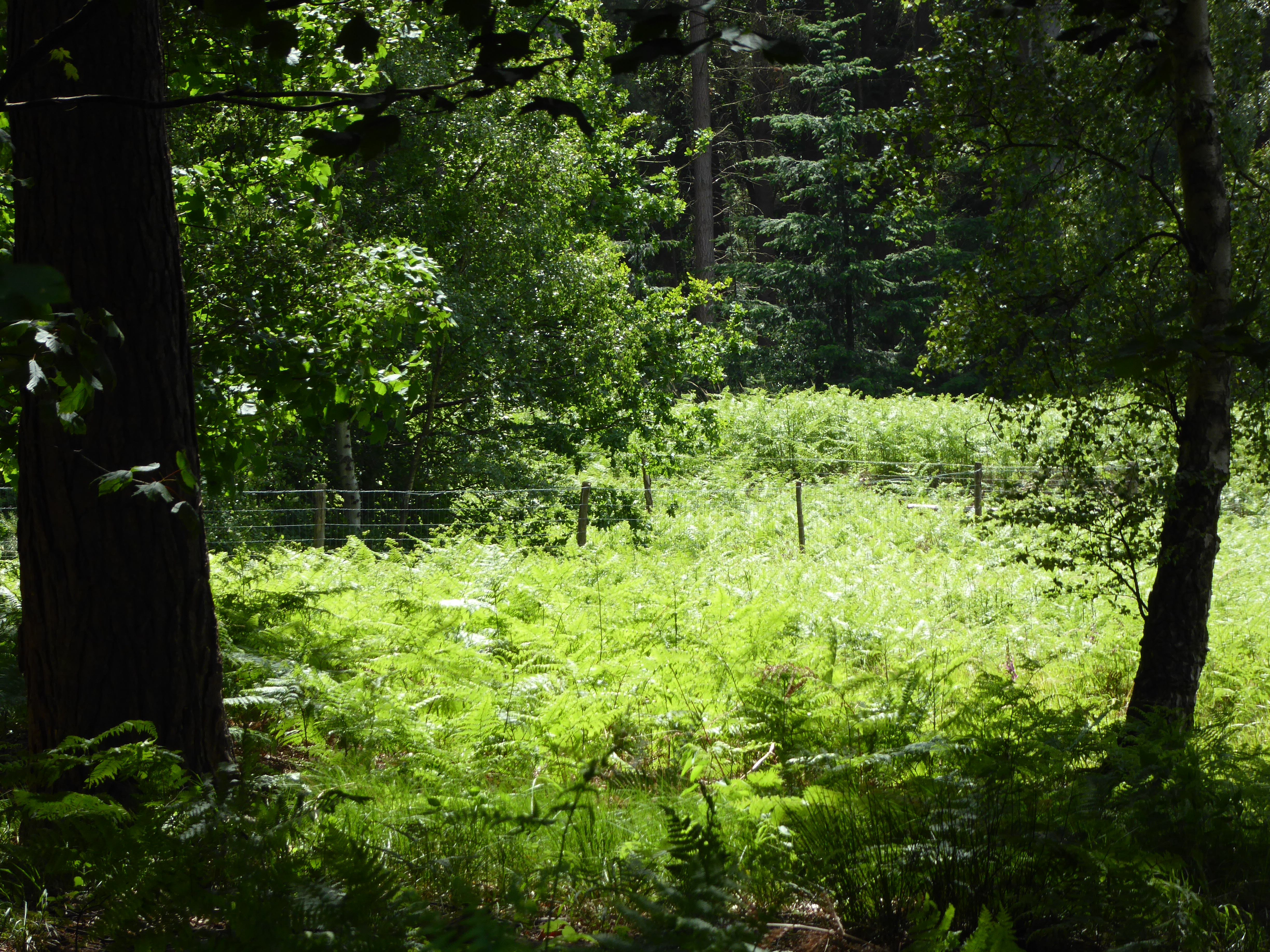
The hill is covered in lush vegetation, including a variety of plants, trees, and wildflowers, which contribute to its natural beauty. It is also home to a diverse range of fauna, including several species of birds, small mammals, and insects.

A network of well-maintained footpaths and trails wind their way up the hill, allowing visitors to explore its slopes and reach the summit. There, they are rewarded with breathtaking vistas of the Suffolk countryside, stretching as far as the eye can see.

In addition to its natural allure, Codson Hill holds historical significance. It is believed to have been inhabited by humans since prehistoric times, with archaeological evidence suggesting the presence of ancient settlements and burial grounds in the vicinity.

Overall, Codson Hill in Suffolk is a captivating destination that combines natural beauty, recreational opportunities, and a rich history. Whether one seeks an invigorating hike, a peaceful picnic spot, or a glimpse into the region's past, this hill offers a memorable experience for all who visit.

If you have any feedback on the listing, please let us know in the comments section below.
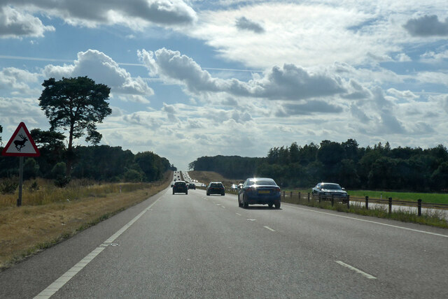
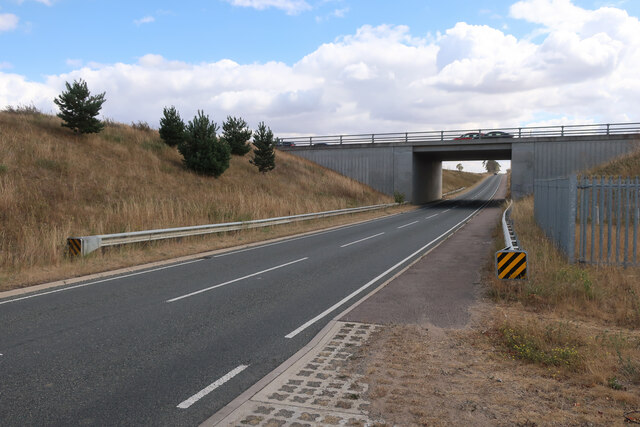
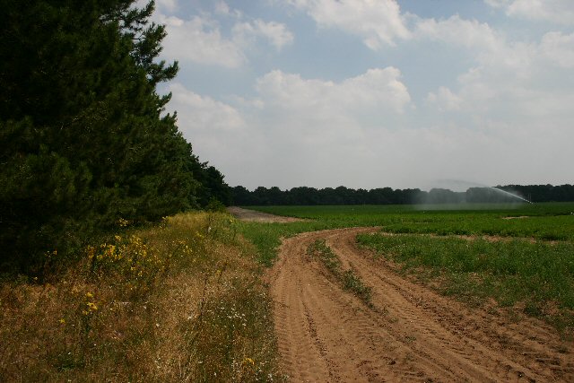
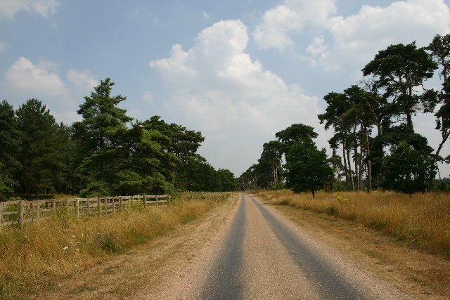
Codson Hill Images

Images are sourced within 2km of 52.361297/0.54816923 or Grid Reference TL7376. Thanks to Geograph Open Source API. All images are credited.

Patterned ground, Lakenheath Road, Mildenhall: aerial 2022 (1)
Patterned ground, Lakenheath Road, Mildenhall: aerial 2022 (2)
A11 towards London But no longer a continuous route with that number. Taking the A14 around Newmarket is the first interruption.
A11 towards London
But no longer a continuous route with that number. Taking the A14 around Newmarket is the first interruption.
B1112 by Foxhole Heath
B1112 under A11 Previously a junction but that was removed when this section of the A11 was dualled, see <a href="https://www.geograph.org.uk/photo/1947215">TL7575 : Approaching the A11, B1112 junction</a>
B1112 under A11
Previously a junction but that was removed when this section of the A11 was dualled, see TL7575 : Approaching the A11, B1112 junction
Mildenhall Left Left turn off the A11 towards Mildenhall.
Mildenhall Left
Left turn off the A11 towards Mildenhall.
Bridleway to St Helena Farm On the eastern fringe of Mildenhall, leading north from Brandon Road.
Bridleway to St Helena Farm
On the eastern fringe of Mildenhall, leading north from Brandon Road.
Entrance to Mildenhall Woods A small car park with space for four vehicles, and an information board, at the entrance to Mildenhall Woods.
Entrance to Mildenhall Woods
A small car park with space for four vehicles, and an information board, at the entrance to Mildenhall Woods.
Maize crop at How Hill Looking east from the B1112 towards How Hill.
Maize crop at How Hill
Looking east from the B1112 towards How Hill.
Field entrance near Chamberlain's Buildings Farm Looking east from the B1112.
Field entrance near Chamberlain's Buildings Farm
Looking east from the B1112.
B1112 at Foxhole Heath The road snakes across typical Breckland country.
B1112 at Foxhole Heath
The road snakes across typical Breckland country.
Private track to Rakeheath Farm This track leads eastwards across open heathland towards Rakeheath and Rakebottom Farms.
Private track to Rakeheath Farm
This track leads eastwards across open heathland towards Rakeheath and Rakebottom Farms.
Eriswell Church Unusual cone-shaped yews line the churchyard at the rear of St Lawrence Church.
Eriswell Church
Unusual cone-shaped yews line the churchyard at the rear of St Lawrence Church.
Footpath to Eriswell The village of Eriswell is just over the crest of this rise.
Footpath to Eriswell
The village of Eriswell is just over the crest of this rise.
Track to Codson Hill This track leads eastwards from the A1065, north of Mildenhall.
Track to Codson Hill
This track leads eastwards from the A1065, north of Mildenhall.
Uncultivated field near Mildenhall This field lies to the west of the A1065, two kilometres north of Mildenhall.
Uncultivated field near Mildenhall
This field lies to the west of the A1065, two kilometres north of Mildenhall.
Field boundary on the Elveden Estate Many of the fields on the huge Elveden Estate are divided by lines of mature trees, which help to retain the light soil.
Field boundary on the Elveden Estate
Many of the fields on the huge Elveden Estate are divided by lines of mature trees, which help to retain the light soil.
Ploughed field Ploughed field on the side of the A11
Ploughed field
Ploughed field on the side of the A11
Show me another place!

Codson Hill is located at Grid Ref: TL7376 (Lat: 52.361297, Lng: 0.54816923)

Administrative County: Suffolk

District: West Suffolk

Police Authority: Suffolk

What 3 Words

///smooth.patch.electrode. Near Mildenhall, Suffolk

Related Wikis

Foxhole Heath

Foxhole Heath is an 85.2-hectare (211-acre) biological Site of Special Scientific Interest east of Eriswell in Suffolk. It is a Nature Conservation Review...

Eriswell

Eriswell is a village and civil parish of West Suffolk in the English county of Suffolk. About forty scattered archaeological finds have been made here...

How Hill Track

How Hill Track is a 3.1-hectare (7.7-acre) biological Site of Special Scientific Interest east of Mildenhall in Suffolk. It is in the Breckland Special...

Rex Graham nature reserve

Rex Graham Reserve is a 2.8-hectare (6.9-acre) biological Site of Special Scientific Interest east of Mildenhall in Suffolk. It is a Special Area of Conservation...

Eriswell Low Warren

Eriswell Low Warren is a 7.4-hectare (18-acre) biological Site of Special Scientific Interest north-east of Eriswell in Suffolk. It is a Nature Conservation...

Forest Heath District

Forest Heath was a local government district in Suffolk, England. Its council was based in Mildenhall. Other towns in the district included Newmarket...

Mildenhall Town F.C.

Mildenhall Town Football Club is a football club based in Mildenhall, Suffolk. They are currently members of the Eastern Counties League Premier Division...

Barton Mills Valley

Barton Mills Valley is a 10.7 hectare Local Nature Reserve in Mildenhall in Suffolk. It is owned and managed by West Suffolk Council. The site is in Breckland...

Nearby Amenities

Located within 500m of 52.361297,0.54816923
Power: pole
Lat/Long: 52.3648924/0.5471383
Power: pole
Lat/Long: 52.3641586/0.5483936
Power: pole
Lat/Long: 52.3634216/0.5497293
Power: pole
Lat/Long: 52.3608315/0.5545712
Power: pole
Lat/Long: 52.3640867/0.5530285
Power: pole
Lat/Long: 52.3634381/0.5542996
Power: pole
Lat/Long: 52.3619313/0.552256
Power: pole
Lat/Long: 52.3626749/0.5509739
Power: pole
Lat/Long: 52.364935/0.5514513
The data included in this document is from www.openstreetmap.org. The data is made available under ODbL.

Have you been to Codson Hill?

Leave your review of Codson Hill below (or comments, questions and feedback).