Cooling Hill
Hill, Mountain in Kent
England
Cooling Hill

Cooling Hill is a prominent geographical feature located in the county of Kent, England. Rising to an elevation of approximately 125 meters above sea level, it is often referred to as Cooling Mountain. Situated in the district of Medway, this hill offers stunning panoramic views of the surrounding countryside.
Covered in lush greenery, Cooling Hill is a haven for nature enthusiasts and hikers alike. The hill is characterized by its gentle slopes, making it accessible to visitors of all ages and fitness levels. At the summit, visitors are rewarded with breathtaking vistas of the Medway Valley and the adjacent Hoo Peninsula.
The area surrounding Cooling Hill is rich in history. In close proximity lies the village of Cooling, renowned for its picturesque Norman church, St. James. This historic village is also linked to Charles Dickens, as it served as the inspiration for the opening chapter of his novel, "Great Expectations."
Cooling Hill is popular with outdoor enthusiasts who frequent the area for walking, rambling, and picnicking. The hill is intersected by a network of footpaths and bridleways, offering ample opportunities for exploration. The site attracts a diverse range of wildlife, including birds, mammals, and insects, making it an ideal destination for nature lovers and birdwatchers.
Access to Cooling Hill is convenient, as it is located just off the A228 road, approximately 5 miles north of the town of Rochester. The hill's close proximity to urban centers makes it a popular destination for day trips and weekend getaways.
Overall, Cooling Hill in Kent is a natural gem, boasting stunning views, a rich history, and a diverse ecosystem. Whether one seeks tranquility, adventure, or an escape from city life, Cooling Hill offers something for everyone.
If you have any feedback on the listing, please let us know in the comments section below.
Cooling Hill Images
Images are sourced within 2km of 51.434964/0.48894668 or Grid Reference TQ7373. Thanks to Geograph Open Source API. All images are credited.


Cooling Hill is located at Grid Ref: TQ7373 (Lat: 51.434964, Lng: 0.48894668)
Unitary Authority: Medway
Police Authority: Kent
What 3 Words
///former.tube.under. Near Cliffe, Kent
Nearby Locations
Related Wikis
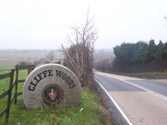
Cliffe Woods
Cliffe Woods is a small estate on the Hoo Peninsula in the unitary authority of Medway in South East England. It was, until 1998, part of Kent and is still...

Medway (UK Parliament constituency)
Medway was a county constituency represented in the House of Commons of the Parliament of the United Kingdom between 1983 and 2010. A previous constituency...

Cliffe railway station
Cliffe (TQ 738 748 51°26′44″N 0°30′07″E) was a railway station between Uralite Halt and High Halstow Halt on the Hundred of Hoo Railway in Kent, England...

St Mary's Church, Higham
St Mary's Church is a redundant Anglican church in the village of Higham, Kent, England. It is recorded in the National Heritage List for England as a...
Nearby Amenities
Located within 500m of 51.434964,0.48894668Have you been to Cooling Hill?
Leave your review of Cooling Hill below (or comments, questions and feedback).