Doeshill

Hill, Mountain in Essex Basildon

England

Doeshill

Wickford Station, looking along Platform 3 Line is viewed in the direction of trains travelling from Wickford towards Billericay.
Wickford Station, looking along Platform 3 Credit: Clint Mann

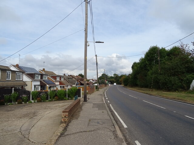
Doeshill is a small village located in the county of Essex, England. Situated on a gentle slope, it is often referred to as a hill due to its slightly elevated position compared to the surrounding areas. The village is nestled amidst picturesque countryside, offering residents and visitors breathtaking views of the surrounding landscape.

The village of Doeshill is known for its charming rural atmosphere and is home to a close-knit community. The houses in the village are predominantly traditional cottages made of local stone, giving the area a quaint and timeless feel. The village church, dating back to the 12th century, is a prominent feature and adds to the historical charm of Doeshill.

The landscape surrounding the village is characterized by rolling hills, lush green fields, and meandering streams. This picturesque countryside provides ample opportunities for outdoor activities such as hiking, cycling, and horseback riding. The nearby Doeshill Forest is a popular spot for nature enthusiasts, offering a peaceful retreat and an abundance of wildlife.

Despite its rural setting, Doeshill benefits from good transport links, with a well-connected road network providing easy access to nearby towns and cities. The village also boasts a range of amenities, including a local shop, a village hall, and a primary school, ensuring that residents have access to essential services.

In summary, Doeshill is a charming village in Essex, set in beautiful countryside with stunning views. Its historical buildings, thriving community, and proximity to outdoor recreational areas make it an idyllic place to live or visit.

If you have any feedback on the listing, please let us know in the comments section below.
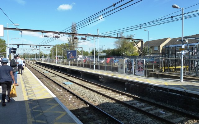
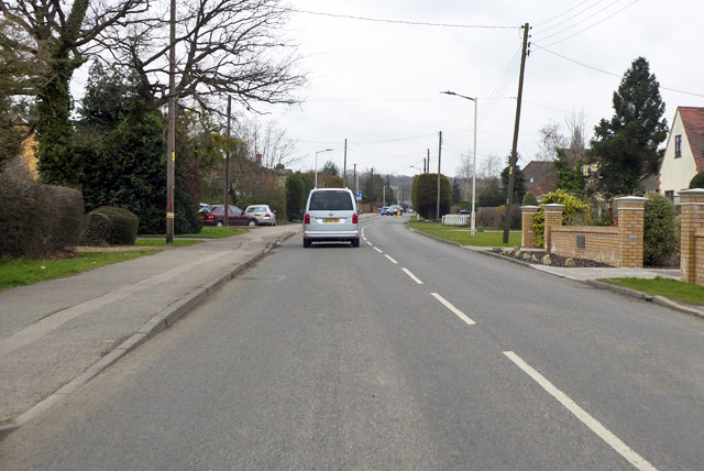
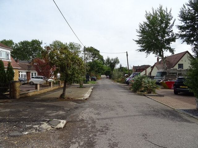
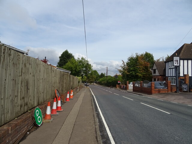
Doeshill Images

Images are sourced within 2km of 51.606354/0.49511973 or Grid Reference TQ7292. Thanks to Geograph Open Source API. All images are credited.

Wickford Station, looking along Platform 3 Line is viewed in the direction of trains travelling from Wickford towards Billericay.
Wickford Station, looking along Platform 3
Line is viewed in the direction of trains travelling from Wickford towards Billericay.
Wickford station The train for the Southminster branch can be seen in the bay platform
Wickford station
The train for the Southminster branch can be seen in the bay platform
Wickford station footbridge
Church Road, Ramsden Bellhouse Heading north towards Ramsden Heath.
Church Road, Ramsden Bellhouse
Heading north towards Ramsden Heath.
Old Milestone by the A129, London Road, Crays Hill, Ramsden Crays Parish Carved stone post by the A129, in parish of RAMSDEN CRAYS (BASILDON District), Crays Hill, by London Road, on West side of road. Erected by the Rochford Hundred (Division of Essex First District) turnpike trust in the 19th century. 

Inscription reads:-
TO
LONDON
27
MILES 

Milestone Society National ID: EX_BWRY27.
Old Milestone by the A129, London Road, Crays Hill, Ramsden Crays Parish
Carved stone post by the A129, in parish of RAMSDEN CRAYS (BASILDON District), Crays Hill, by London Road, on West side of road. Erected by the Rochford Hundred (Division of Essex First District) turnpike trust in the 19th century. Inscription reads:- TO LONDON 27 MILES Milestone Society National ID: EX_BWRY27.
Old Milestone, A129, London Road, Wickford The milestone is located at the Nevendon Road junction, on a small grass verge at the back of the pavement on the south side of road. Parish of Wickford (Basildon District). Carved stone post, erected by the Rochford Hundred (Division of Essex First District) turnpike trust in the 19th century. 

Inscription reads:- 
TO / LONDON / 29 MILES / SOUTHEND / 12 MILES / RAYLEIGH / 5 MILES / BILLERICAY / 6 MILES / PARISH OF / WICKFORD

Grade II Listed, List Entry Number: 1122214 <span class="nowrap"><a title="https://historicengland.org.uk/listing/the-list/list-entry/1122214" rel="nofollow ugc noopener" href="https://historicengland.org.uk/listing/the-list/list-entry/1122214">Link</a><img style="margin-left:2px;" alt="External link" title="External link - shift click to open in new window" src="https://s1.geograph.org.uk/img/external.png" width="10" height="10"/></span>

Milestone Society National ID: EX_BWRY29
Old Milestone, A129, London Road, Wickford
The milestone is located at the Nevendon Road junction, on a small grass verge at the back of the pavement on the south side of road. Parish of Wickford (Basildon District). Carved stone post, erected by the Rochford Hundred (Division of Essex First District) turnpike trust in the 19th century. Inscription reads:- TO / LONDON / 29 MILES / SOUTHEND / 12 MILES / RAYLEIGH / 5 MILES / BILLERICAY / 6 MILES / PARISH OF / WICKFORD Grade II Listed, List Entry Number: 1122214 LinkExternal link Milestone Society National ID: EX_BWRY29
Old Bridge Marker on Church Road Bridge, Ramsden Bellhouse parish Bridge Marker by the UC road, in parish of Ramsden Bellhouse (Basildon District), Church Road Bridge, River Crouch, built into brick parapet, West side of road.

Inscription reads:-
B U D C
1939

Surveyed

Milestone Society National ID: EX_RBELL01br
Old Bridge Marker on Church Road Bridge, Ramsden Bellhouse parish
Bridge Marker by the UC road, in parish of Ramsden Bellhouse (Basildon District), Church Road Bridge, River Crouch, built into brick parapet, West side of road. Inscription reads:- B U D C 1939 Surveyed Milestone Society National ID: EX_RBELL01br
The A132 exit on Southend Arterial Road
Basildon Service Station on the A127
Cranfield Park Road, Wickford
Oak Avenue, Crays Hill
The Shepherd & Dog, Crays Hill See <a href="https://www.geograph.org.uk/photo/7275541">TQ7192 : Sign for the Shepherd & Dog, Crays Hill</a> for sign.
The Shepherd & Dog, Crays Hill
Sign for the Shepherd & Dog, Crays Hill See <a href="https://www.geograph.org.uk/photo/7275537">TQ7192 : The Shepherd & Dog, Crays Hill</a> for context.
Sign for the Shepherd & Dog, Crays Hill
A129, Crays Hill Towards Wickford.
A129, Crays Hill
Towards Wickford.
Grazing near Woolshot's Farm Off the A129.
Grazing near Woolshot's Farm
Off the A129.
A129 towards Wickford
Pink house on the A129
London Road (A129) Towards Wickford.
London Road (A129)
Towards Wickford.
Show me another place!

Doeshill is located at Grid Ref: TQ7292 (Lat: 51.606354, Lng: 0.49511973)

Administrative County: Essex

District: Basildon

Police Authority: Essex

What 3 Words

///secret.trucks.shows. Near Wickford, Essex

Nearby Locations

Doeshill

Related Wikis

The Bromfords School

The Bromfords School is a coeducational secondary school and sixth form with academy status, located in Wickford, Essex, England. Most pupils live in Wickford...
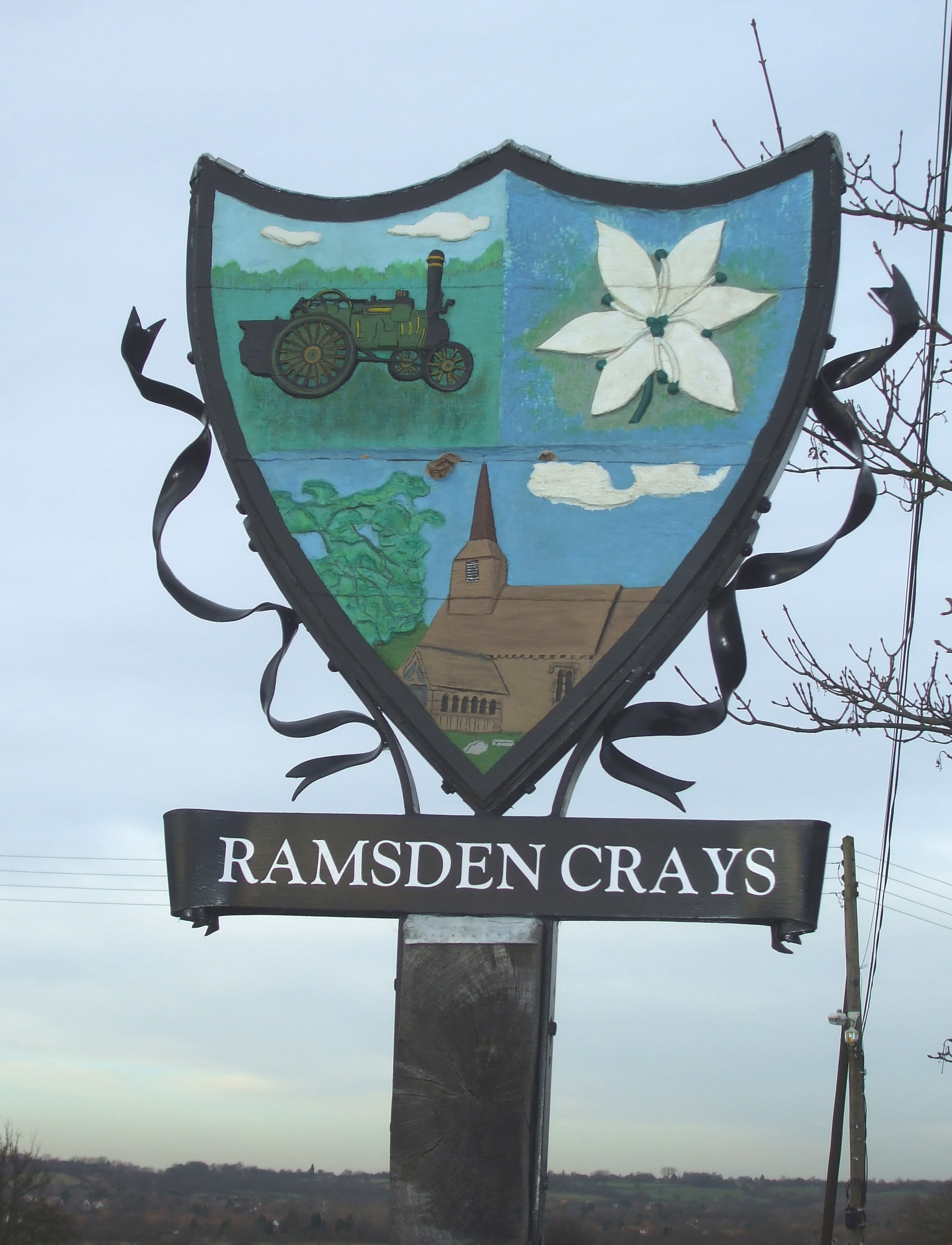
Ramsden Crays

Ramsden Crays is a civil parish in the Basildon district of Essex, England. It lies north of Basildon and west of Wickford. The parish includes the village...

Crays Hill

Crays Hill is a village in the Basildon borough of Essex, England. The River Crouch passes under Church Lane. The village was listed in Domesday Book of...
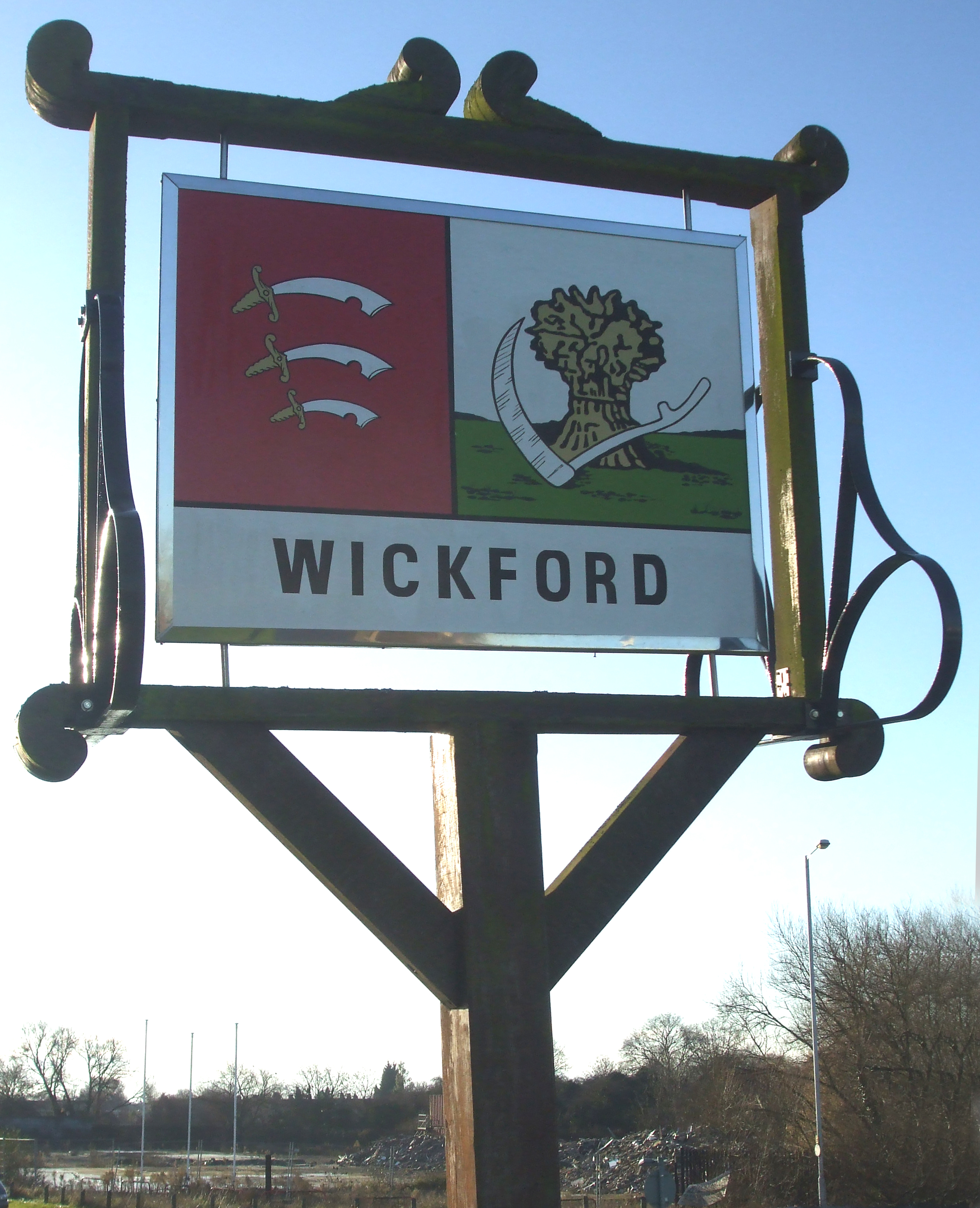
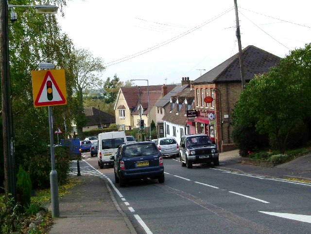
Wickford

Wickford is a town and civil parish in the south of the English county of Essex, with a population of 33,486. Located approximately 30 miles (50 km) east...

Nearby Amenities

Located within 500m of 51.606354,0.49511973
Bus Stop
Sugden Avenue
Naptan AtcoCode: 15001000708
Naptan Bearing: W
Naptan CommonName: Sugden Avenue
Naptan Crossing: Sugden Avenue
Naptan Indicator: Opp
Naptan Landmark: Sugden Avenue
Naptan NaptanCode: esxdjwpa
Naptan Street: London Road
Naptan Verified: no
Public Transport: platform
Source: naptan_import
Lat/Long: 51.6100915/0.4981781
Bus Stop
Whitehouse Stores
Naptan AtcoCode: 1500IM2298
Naptan Bearing: W
Naptan CommonName: Whitehouse Stores
Naptan Crossing: Woolshotts Road
Naptan Indicator: o/s
Naptan Landmark: Whitehouse Stores
Naptan NaptanCode: esxgmwtj
Naptan Street: London Road
Naptan Verified: no
Public Transport: platform
Source: naptan_import
Lat/Long: 51.6089136/0.4925664
Bus Stop
Whitehouse Stores
Naptan AtcoCode: 1500IM2298B
Naptan Bearing: E
Naptan BusStopType: CUS
Naptan CommonName: Whitehouse Stores
Naptan Crossing: Woolshotts Road
Naptan Indicator: Opp
Naptan Landmark: Whitehouse Stores
Naptan NaptanCode: esxgmwtm
Naptan Street: London Road
Naptan Verified: no
Public Transport: platform
Source: naptan_import
Lat/Long: 51.6093139/0.4928777
Colour: yellow
Description: Medium Pressure gas pipeline marker
Inscription: GAS MP GAS PIPELINE
Marker: post
Material: plastic
Utility: gas
Lat/Long: 51.6089615/0.4909937
Booth: K6
Man Made: telephone_box
Lat/Long: 51.6103264/0.4977695
The data included in this document is from www.openstreetmap.org. The data is made available under ODbL.

Have you been to Doeshill?

Leave your review of Doeshill below (or comments, questions and feedback).