Tent Hill
Hill, Mountain in Sussex Rother
England
Tent Hill

Tent Hill is a prominent hill located in the county of Sussex in southeastern England. Standing at an elevation of approximately 217 meters (712 feet) above sea level, it is considered one of the highest points in the region. The hill is situated within the South Downs National Park, an area renowned for its picturesque landscapes and rolling hills.
Tent Hill offers breathtaking panoramic views of the surrounding countryside, including the lush green valleys and meandering rivers that characterize the region. On clear days, visitors can even catch a glimpse of the English Channel in the distance. The hill is covered in a patchwork of fields, hedgerows, and woodlands, providing a diverse habitat for a variety of flora and fauna.
The name "Tent Hill" is believed to have originated from its association with medieval hunting practices, as the hill was once used as a hunting ground for nobles and royalty. Today, it is a popular destination for outdoor enthusiasts, hikers, and nature lovers who come to explore the numerous walking trails and enjoy the tranquil surroundings.
Tent Hill is easily accessible by road, with ample parking available nearby. The hill's location within the national park ensures that it remains relatively untouched and peaceful, allowing visitors to immerse themselves in the beauty and serenity of the Sussex countryside. Whether it's for a leisurely walk, a picnic, or simply to admire the stunning vistas, Tent Hill offers a memorable experience for all who venture to its summit.
If you have any feedback on the listing, please let us know in the comments section below.
Tent Hill Images
Images are sourced within 2km of 50.914345/0.41948862 or Grid Reference TQ7015. Thanks to Geograph Open Source API. All images are credited.


Tent Hill is located at Grid Ref: TQ7015 (Lat: 50.914345, Lng: 0.41948862)
Administrative County: East Sussex
District: Rother
Police Authority: Sussex
What 3 Words
///scorecard.humidity.lodge. Near Ninfield, East Sussex
Nearby Locations
Related Wikis

Penhurst
Penhurst is a village and civil parish, sharing a parish council with neighbouring Ashburnham, in the Rother district of East Sussex, England. It is located...

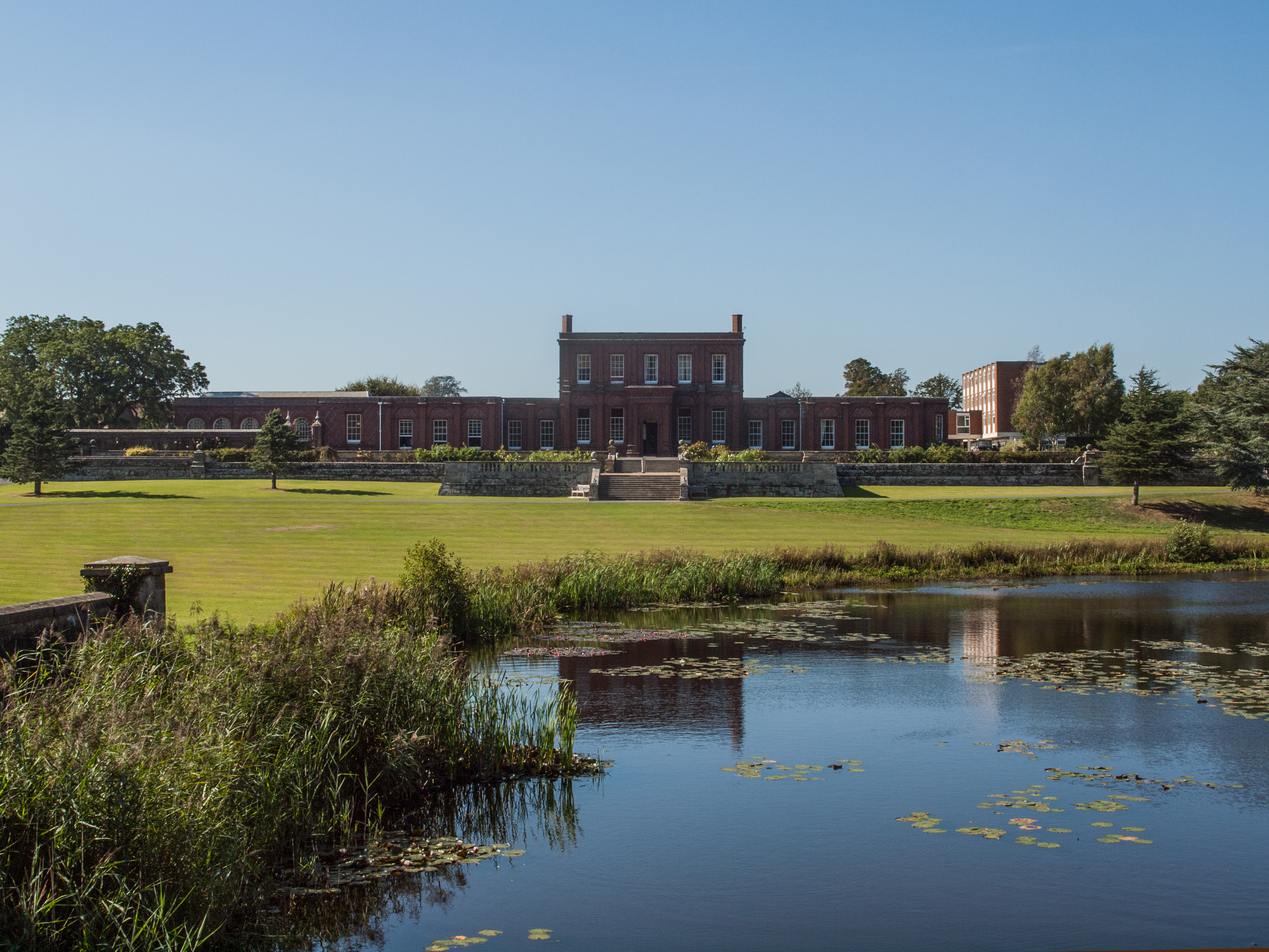
Ashburnham Park
Ashburnham Park is a 109.9-hectare (272-acre) biological Site of Special Scientific Interest north-west of Hastings in East Sussex. It is a Nature Conservation...
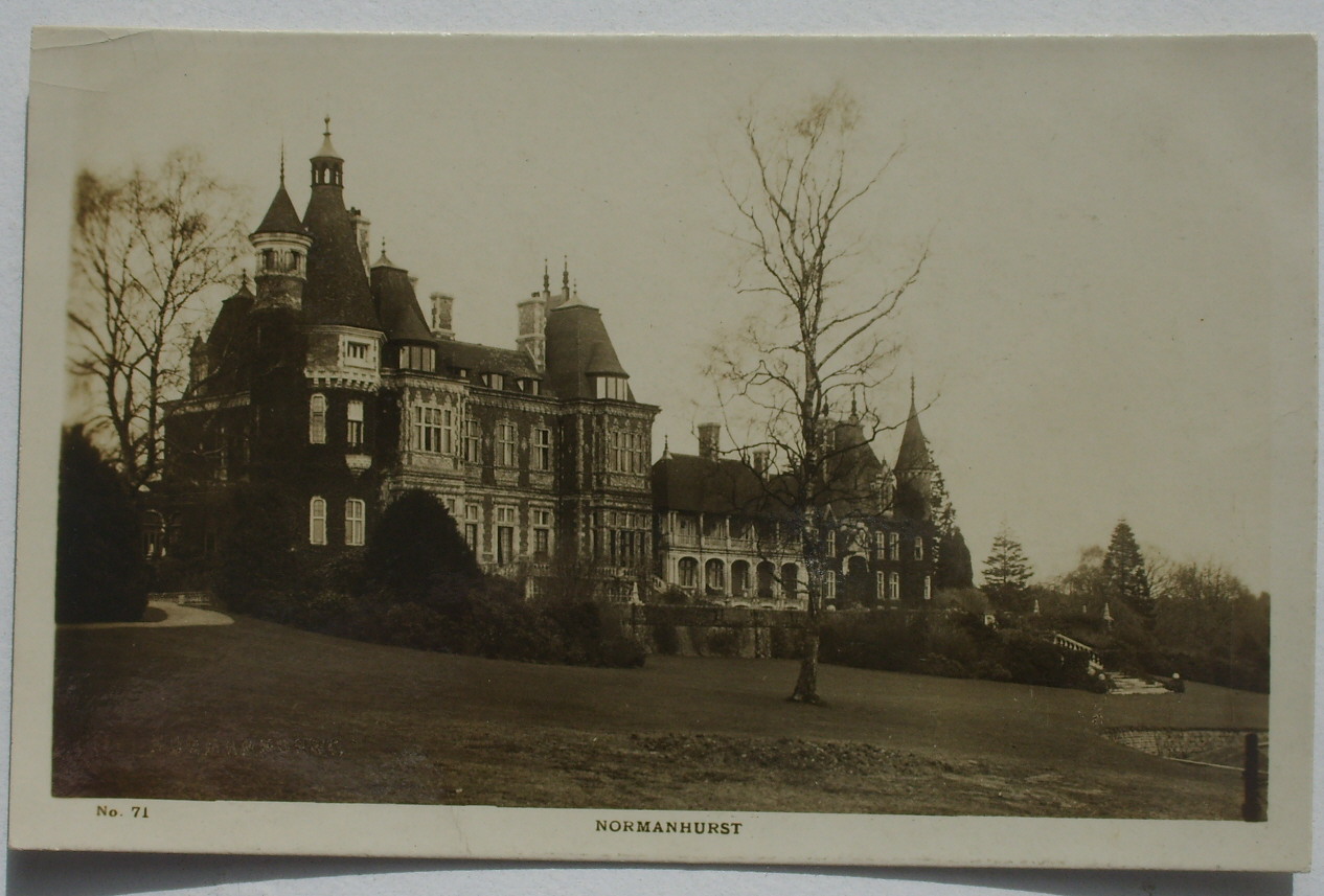
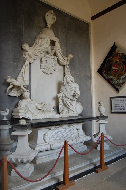
Normanhurst Court
Normanhurst Court was a large manor house in the village of Catsfield in East Sussex. == History == The building of the house was initiated by Thomas Brassey...
Ashburnham Place
Ashburnham Place is an English country house, now used as a Christian conference and prayer centre, five miles west of Battle, East Sussex. It was one...

Battle of Mercredesburne
The Battle of Mercredesburne was one of three battles fought as part of the conquest of what became the Kingdom of Sussex in southern England. The battles...

Catsfield
Catsfield is a village and civil parish in the Rother district of East Sussex, England. It is located six miles (9.7 km) north of Bexhill, and three miles...

Ashburnham, East Sussex
Ashburnham is a civil parish in the Rother district of East Sussex, England, situated to the west of Battle. It includes the settlements of Brownbread...
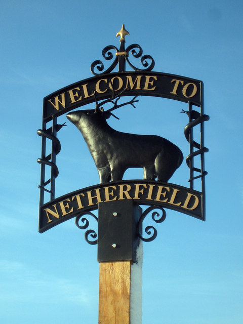
Netherfield, East Sussex
Netherfield is a village in the civil parish of Battle, in the Rother district, in the county of East Sussex, England.In the 1870-1872 Imperial Gazetteer...
Nearby Amenities
Located within 500m of 50.914345,0.41948862Have you been to Tent Hill?
Leave your review of Tent Hill below (or comments, questions and feedback).