Langdon Hill
Hill, Mountain in Essex Basildon
England
Langdon Hill

Langdon Hill is a prominent geographical feature located in Essex, England. It is classified as a hill rather than a mountain due to its relatively modest elevation. Standing at a height of approximately 100 meters (330 feet) above sea level, Langdon Hill offers panoramic views of the surrounding countryside and the Thames Estuary.
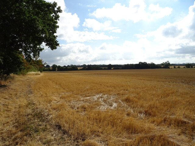
Situated in the borough of Basildon, Langdon Hill is part of the Langdon Nature Reserve, which covers an area of 400 hectares (988 acres). The reserve is renowned for its diverse wildlife and natural beauty, making it a popular destination for nature enthusiasts and hikers.
The hill itself is covered in a mix of woodland and grassland, providing a rich habitat for a variety of plant and animal species. Ancient trees, such as oaks and beeches, can be found on its slopes, while wildflowers add a splash of color to the landscape during the spring and summer months.
Visitors to Langdon Hill can explore the numerous walking trails that crisscross the area, offering a chance to observe the local wildlife up close. The reserve is home to a range of bird species, including buzzards, kestrels, and woodpeckers, making it a haven for birdwatchers.
In addition to its natural beauty, Langdon Hill also holds historical significance. The remains of an Iron Age hillfort can be found on its summit, providing insight into the area's ancient past. Overall, Langdon Hill is a tranquil and picturesque destination that offers a unique blend of natural and historical attractions.
If you have any feedback on the listing, please let us know in the comments section below.
Langdon Hill Images
Images are sourced within 2km of 51.552055/0.41984553 or Grid Reference TQ6786. Thanks to Geograph Open Source API. All images are credited.


Langdon Hill is located at Grid Ref: TQ6786 (Lat: 51.552055, Lng: 0.41984553)
Administrative County: Essex
District: Basildon
Police Authority: Essex
What 3 Words
///transfers.hello.blog. Near Basildon, Essex
Nearby Locations
Related Wikis

Langdon Hills
Langdon Hills is an area of Basildon in the borough of Basildon in Essex, England. It is located south of Laindon railway station on the London, Tilbury...
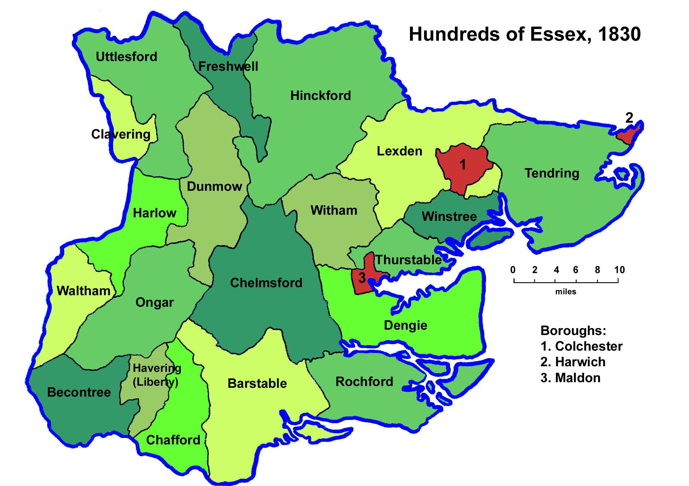
Barstable Hundred
Barstable was a Hundred in the English County of Essex. Both the hundred and the manor with the same name are mentioned in the Domesday Book of 1086. A...
Horndon Meadow
Horndon Meadow is a 0.8-hectare (2.0-acre) nature reserve north of Stanford-le-Hope in Essex. It is managed by the Essex Wildlife Trust.This site is an...

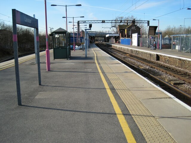
Laindon railway station
Laindon railway station is on the London, Tilbury and Southend line, serving the town of Laindon in Essex, England. It is 22 miles 69 chains (36.8 km)...

Dunton Plotlands
The Dunton Plotlands was an area of small rural plots of land in Dunton Wayletts, southern Essex inhabited from the 1930s to the 1980s.The 'plotlands'...
Langdon Nature Reserve
Langdon Nature Reserve (also described as Langdon Nature Discovery Park) is a 210 hectare nature reserve west of Basildon in Essex. It is managed by the...

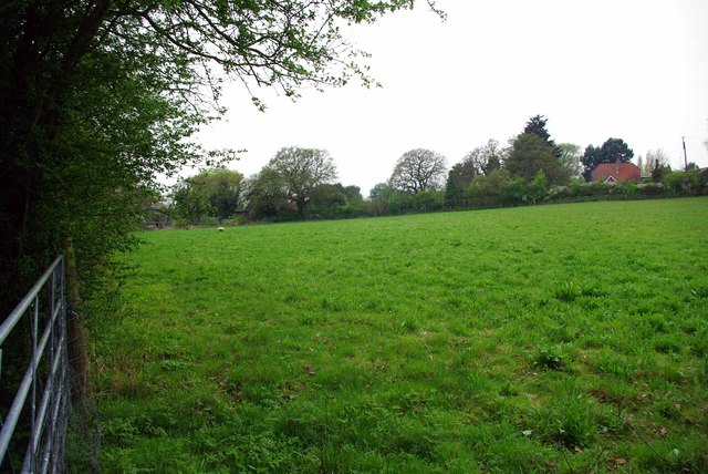
Little Burstead
Little Burstead is a village in Essex, England. It lies 2.25 miles (4 km) south-south-west of Billericay and 4.5 miles (7 km) east-south-east of Brentwood...
Basildon University Hospital
Basildon University Hospital is an acute general hospital in Basildon, Essex. It is managed by the Mid and South Essex NHS Foundation Trust. == History... ==
Nearby Amenities
Located within 500m of 51.552055,0.41984553Have you been to Langdon Hill?
Leave your review of Langdon Hill below (or comments, questions and feedback).