Jarvis Hill

Hill, Mountain in Suffolk West Suffolk

England

Jarvis Hill

Withersfield: junction, signpost and stinkpipe This is where the lane from Great Wratting meets the road from Withersfield to Great Thurlow (right). The rusty stinkpipe has the usual sort of decorative cast-iron base and a wire cap (like a small steam locomotive's spark arrester), to stop birds nesting I imagine.
Withersfield: junction, signpost and stinkpipe Credit: John Sutton

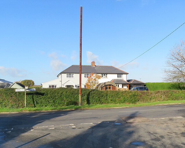
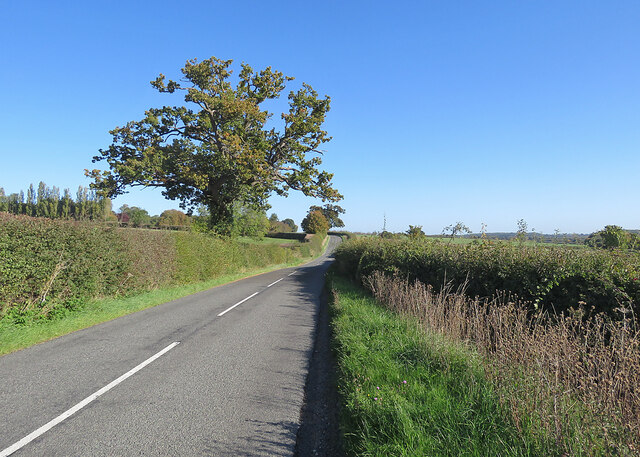
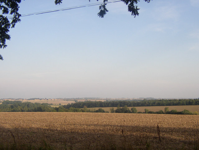
Jarvis Hill is a prominent hill located in the county of Suffolk, England. It is situated near the village of Chelsworth, in the Babergh district. Rising to an elevation of approximately 78 meters (256 feet), it is a notable landmark in the region and offers stunning panoramic views of the surrounding countryside.

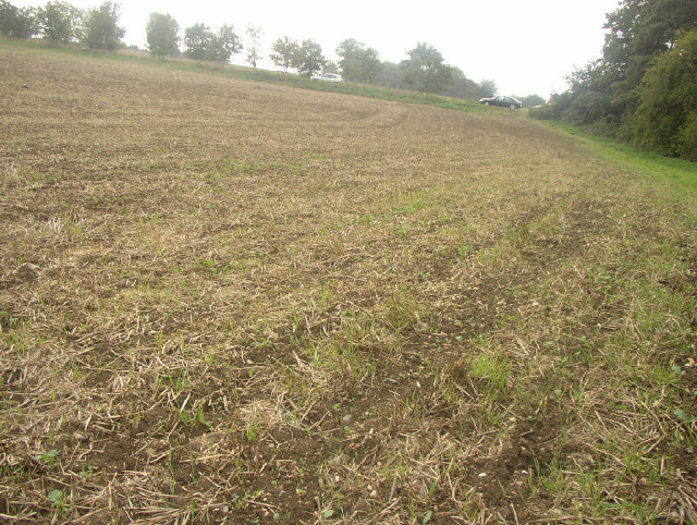
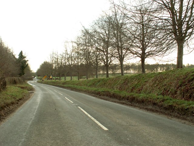
The hill is characterized by its gently sloping terrain and is primarily covered in lush green grass, interspersed with patches of trees and shrubs. Its distinctive shape and relatively steep sides make it stand out in the otherwise flat landscape of Suffolk.

Jarvis Hill is a popular destination for walkers, hikers, and nature enthusiasts. Several footpaths and trails lead to the summit, allowing visitors to explore the area and take in the picturesque scenery. The hill also attracts birdwatchers, as it provides habitat for various avian species, including songbirds and birds of prey.

In addition to its natural beauty, Jarvis Hill holds historical significance. The summit is known to contain the remains of an Iron Age hillfort, which provides insight into the area's ancient past. Archaeological excavations have uncovered artifacts such as pottery, tools, and evidence of ancient settlements, offering a glimpse into the lives of the people who once inhabited the hill.

Overall, Jarvis Hill is a captivating natural landmark in Suffolk, offering a combination of scenic beauty, recreational opportunities, and a fascinating glimpse into the region's history.

If you have any feedback on the listing, please let us know in the comments section below.
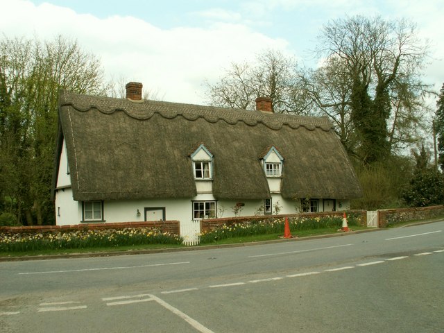
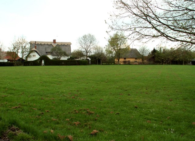
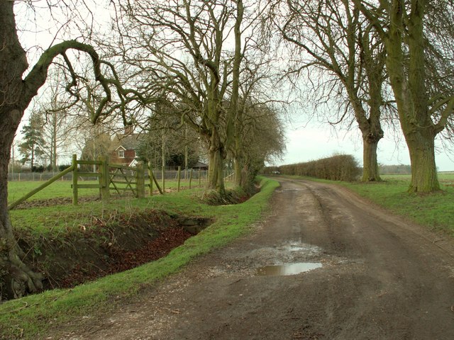
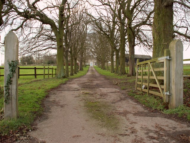
Jarvis Hill Images

Images are sourced within 2km of 52.111927/0.43755095 or Grid Reference TL6748. Thanks to Geograph Open Source API. All images are credited.

Withersfield: junction, signpost and stinkpipe This is where the lane from Great Wratting meets the road from Withersfield to Great Thurlow (right). The rusty stinkpipe has the usual sort of decorative cast-iron base and a wire cap (like a small steam locomotive's spark arrester), to stop birds nesting I imagine.
Withersfield: junction, signpost and stinkpipe
This is where the lane from Great Wratting meets the road from Withersfield to Great Thurlow (right). The rusty stinkpipe has the usual sort of decorative cast-iron base and a wire cap (like a small steam locomotive's spark arrester), to stop birds nesting I imagine.
Great Wratting: a bend in the B1061 The Grade II listing text for the house on the right reads "A C17-C18 timber-framed and plastered house. One storey and attics. Casement windows. Roofs thatched, with two gabled dormers (tiled)". The picture was taken on a cloudy summer morning.
Great Wratting: a bend in the B1061
The Grade II listing text for the house on the right reads "A C17-C18 timber-framed and plastered house. One storey and attics. Casement windows. Roofs thatched, with two gabled dormers (tiled)". The picture was taken on a cloudy summer morning.
Great Wratting: St Mary - south side Nikolaus Pevsner commended a "good EE chancel with lancet windows", but in the Shell Guide Norman Scarfe denounced the "disastrous restoration" of 1887, funded by the founder of W H Smith. The setting is pleasing, on the side of the valley of a tributary of the Stour. Colours were muted on a cloudy summer morning.
Great Wratting: St Mary - south side
Nikolaus Pevsner commended a "good EE chancel with lancet windows", but in the Shell Guide Norman Scarfe denounced the "disastrous restoration" of 1887, funded by the founder of W H Smith. The setting is pleasing, on the side of the valley of a tributary of the Stour. Colours were muted on a cloudy summer morning.
Great Wratting: St Mary Nikolaus Pevsner commended a "good EE chancel with lancet windows", but in the Shell Guide Norman Scarfe denounced the "disastrous restoration" of 1887, funded by the founder of W H Smith. This side of the churchyard slopes steeply down to the road. Colours were muted on a cloudy summer morning.
Great Wratting: St Mary
Nikolaus Pevsner commended a "good EE chancel with lancet windows", but in the Shell Guide Norman Scarfe denounced the "disastrous restoration" of 1887, funded by the founder of W H Smith. This side of the churchyard slopes steeply down to the road. Colours were muted on a cloudy summer morning.
Great Wratting: The Shelter The Grade II listing text for The Shelter reads "A C17-C18 timber-framed and plastered house. One storey and attics. Casement windows. Roofs thatched, with two gabled dormers (tiled)". The picture was taken on a cloudy summer morning.
Great Wratting: The Shelter
The Grade II listing text for The Shelter reads "A C17-C18 timber-framed and plastered house. One storey and attics. Casement windows. Roofs thatched, with two gabled dormers (tiled)". The picture was taken on a cloudy summer morning.
Great Thurlow smock mill The mill was renovated in 2011, losing its sails and fantail and acquiring a bright metal casing to its cap. It was Grade II* listed as "a fine example" of a smock mill with sails after restoration in 1962.

By way of comparison:
<a href="https://www.geograph.org.uk/photo/49024">TL6749 : Windmill, Great Thurlow, Suffolk</a> (with sails in 2005)
<a href="https://www.geograph.org.uk/photo/2480637">TL6749 : Restoration</a> (2011)
Great Thurlow smock mill
The mill was renovated in 2011, losing its sails and fantail and acquiring a bright metal casing to its cap. It was Grade II* listed as "a fine example" of a smock mill with sails after restoration in 1962. By way of comparison: TL6749 : Windmill, Great Thurlow, Suffolk (with sails in 2005) TL6749 : Restoration (2011)
Great Thurlow: drive to The Old Vicarage Autumn sunlight on a pleasing avenue leading to a four-square country house, currently a luxury B&B. In former times the Rector must have lived in some splendour here, quite a way from the village.
Great Thurlow: drive to The Old Vicarage
Autumn sunlight on a pleasing avenue leading to a four-square country house, currently a luxury B&B. In former times the Rector must have lived in some splendour here, quite a way from the village.
Cottages at Hunts Park Farm On the road from Withersfield to Great Thurlow (ahead).
Cottages at Hunts Park Farm
On the road from Withersfield to Great Thurlow (ahead).
On Withersfield Road in October Early autumn, with some leaves turning. This is the road to Great Thurlow (ahead).
On Withersfield Road in October
Early autumn, with some leaves turning. This is the road to Great Thurlow (ahead).
Windmill, Great Thurlow, Suffolk This Smock Mill (octagonal, wooden structure with sloping, weatherboarded sides) is on the road to Wethersfield above the village.
Windmill, Great Thurlow, Suffolk
This Smock Mill (octagonal, wooden structure with sloping, weatherboarded sides) is on the road to Wethersfield above the village.
View from Gt. Thurlow Mill, Suffolk Looking SE from the entrance to the Old Vicarage on the 105m contour
View from Gt. Thurlow Mill, Suffolk
Looking SE from the entrance to the Old Vicarage on the 105m contour
Sloping field, Nr Great Wratting, Suffolk This hill on the B1061 leads up to Pelican House Farm, to the left of the picture. It was taken by Edward, aged 3
Sloping field, Nr Great Wratting, Suffolk
This hill on the B1061 leads up to Pelican House Farm, to the left of the picture. It was taken by Edward, aged 3
Thatched cottage, Great Wratting, Suffolk This pretty cottage stands close to the parish church on the B1061 road.
Thatched cottage, Great Wratting, Suffolk
This pretty cottage stands close to the parish church on the B1061 road.
Looking across Burton Green, Withersfield, Suffolk
Road to High Noon Farm
The driveway to Hunts Park Farm
The B.1061, Thurlow Road
Moor Pasture Farm
Moor Pasture Farm
Show me another place!

Jarvis Hill is located at Grid Ref: TL6748 (Lat: 52.111927, Lng: 0.43755095)

Administrative County: Suffolk

District: West Suffolk

Police Authority: Suffolk

What 3 Words

///peanut.truffles.precluded. Near Haverhill, Suffolk

Related Wikis

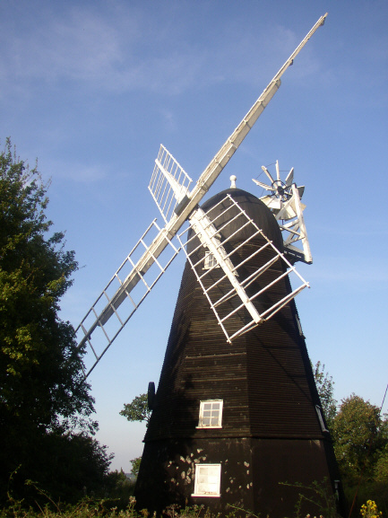
Collis Mill, Great Thurlow

Collis Mill is a Grade II* listed smock mill at Great Thurlow, Suffolk, England, which has been restored. == History == Collis Mill was originally built...
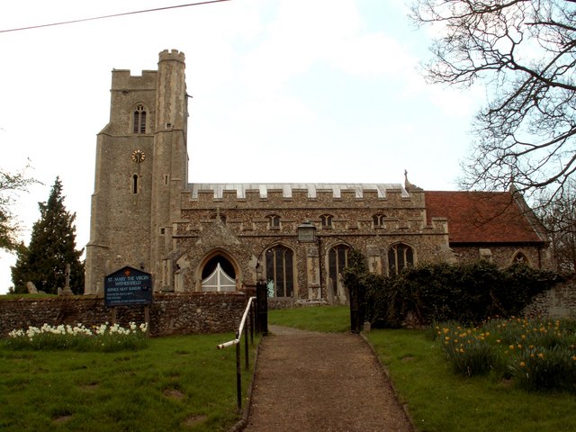
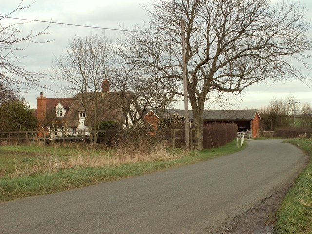
Withersfield

Withersfield is a village and civil parish in the West Suffolk district of Suffolk in eastern England. In 2011 its population was 450. It has a public...

Great Wratting

Great Wratting is a village and civil parish in England, about four miles from Haverhill, Suffolk, in the valley of the River Stour. There is a ford across...

Great Thurlow

Great Thurlow is a village and civil parish in the West Suffolk district of Suffolk in eastern England. It is situated in the far south-west of Suffolk...

Little Wratting

Little Wratting is a small village and civil parish in the West Suffolk district of Suffolk in eastern England. Located on the north-eastern edge of Haverhill...

Samuel Ward Academy

Samuel Ward Academy (formerly Samuel Ward Arts and Technology College) is a coeducational secondary school and sixth form located in Haverhill in the English...

Haverhill Borough F.C.

Haverhill Borough Football Club is a football club based in Haverhill in England. They are currently members of the Eastern Counties League Division One...

RAF Wratting Common

Royal Air Force Wratting Common, or more simply RAF Wratting Common, is a former Royal Air Force substation located near Newmarket, Suffolk, UK. ��2�...

Nearby Amenities

Located within 500m of 52.111927,0.43755095
The data included in this document is from www.openstreetmap.org. The data is made available under ODbL.

Have you been to Jarvis Hill?

Leave your review of Jarvis Hill below (or comments, questions and feedback).