Copper's Hill
Hill, Mountain in Sussex Rother
England
Copper's Hill
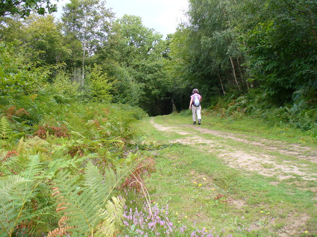
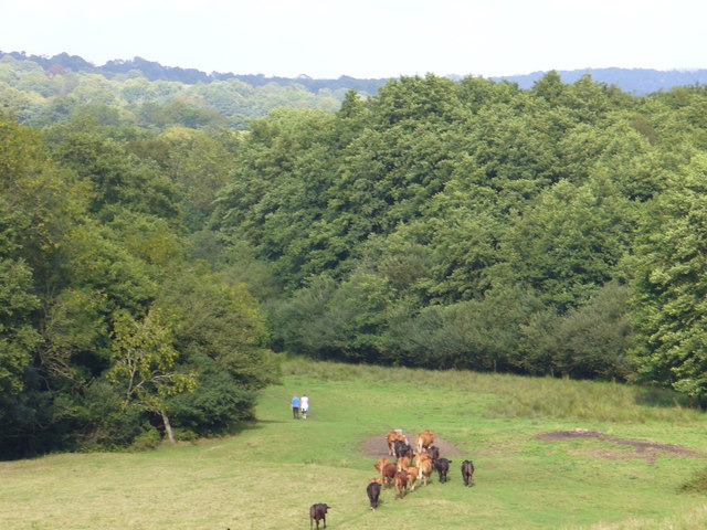
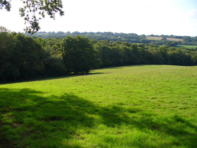
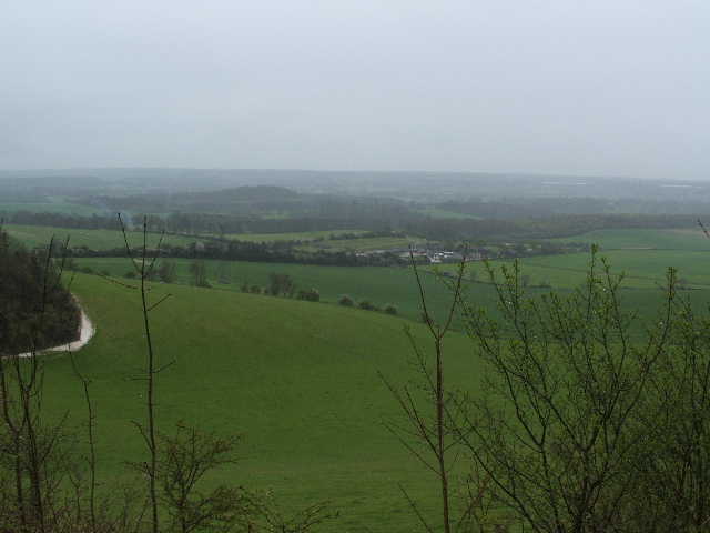
Copper's Hill, located in the county of Sussex, England, is an elevated area that can be classified as both a hill and a mountain. Situated within the South Downs National Park, it offers breathtaking views and an abundance of natural beauty.
Rising to an impressive height of 227 meters (745 feet), Copper's Hill is a popular destination for hikers, nature enthusiasts, and adventurers seeking a challenging climb. Its distinctive name is derived from the copper mining activities that took place in the area during the 17th and 18th centuries, leaving a historical legacy.
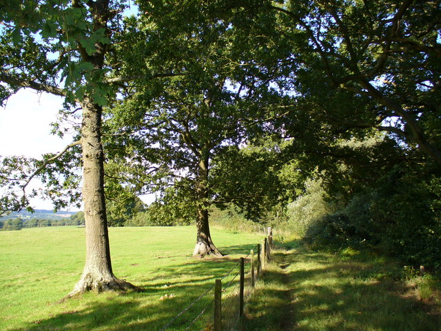
The hill is predominantly covered with grass and scattered with shrubs, creating a picturesque landscape that changes throughout the seasons. In spring, vibrant wildflowers adorn its slopes, while autumn brings a stunning display of colors as the foliage turns shades of gold and red.
Copper's Hill is a haven for wildlife, with various species calling it home. Birdwatchers can spot a variety of avian species, including kestrels, buzzards, and skylarks. Additionally, it is not uncommon to encounter rabbits, deer, and foxes while exploring the hill's trails.
The summit of Copper's Hill provides panoramic views of the surrounding countryside, allowing visitors to appreciate the charm and tranquility of Sussex. On a clear day, one can even catch a glimpse of the English Channel in the distance.
Overall, Copper's Hill offers a unique blend of natural beauty, historical significance, and recreational opportunities, making it a must-visit destination for anyone seeking an enriching experience in Sussex.
If you have any feedback on the listing, please let us know in the comments section below.
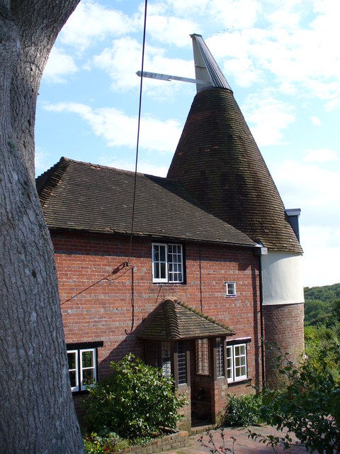
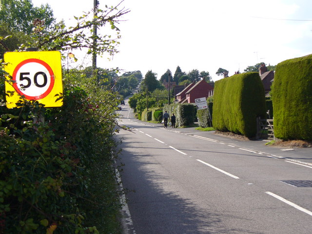
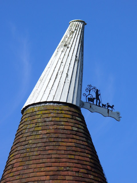
Copper's Hill Images
Images are sourced within 2km of 50.992124/0.36637189 or Grid Reference TQ6624. Thanks to Geograph Open Source API. All images are credited.


Copper's Hill is located at Grid Ref: TQ6624 (Lat: 50.992124, Lng: 0.36637189)
Administrative County: East Sussex
District: Rother
Police Authority: Sussex
What 3 Words
///adjusting.joystick.brotherly. Near Burwash, East Sussex
Nearby Locations
Related Wikis

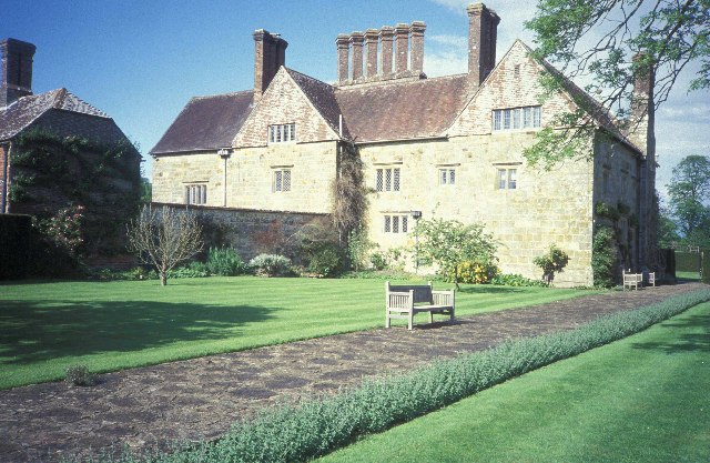
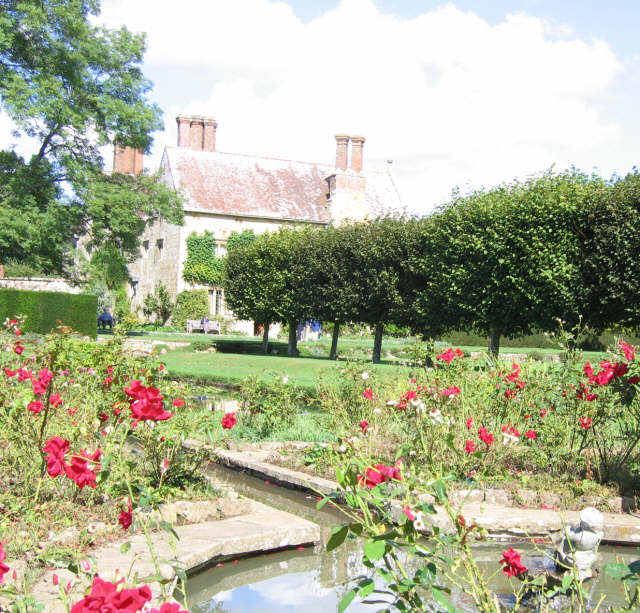
Bateman's
Bateman's is a 17th-century house located in Burwash, East Sussex, England. It was the home of Rudyard Kipling from 1902 until his death in 1936. The house...

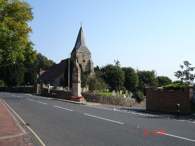
St Bartholomew's Church, Burwash
St Bartholomew's Church is a parish church in the village of Burwash, East Sussex, England. It is a Grade II* listed building. == Building == St Bartholomew...

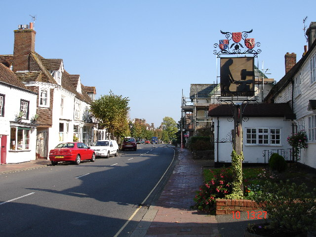
Burwash
Burwash, archaically known as Burghersh, is a rural village and civil parish in the Rother district of East Sussex, England. Situated in the High Weald...

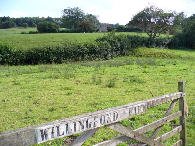
Willingford Meadows
Willingford Meadows is a 10.5-hectare (26-acre) biological Site of Special Scientific Interest south-west of Burwash in East Sussex.These species-rich...

Holmshurst Manor
Holmshurst Manor is a Jacobean country house near Burwash in East Sussex, England. In 1970 it was purchased by Roger Daltrey of The Who. == Description... ==
Weald
The Weald () is an area of South East England between the parallel chalk escarpments of the North and the South Downs. It crosses the counties of Hampshire...

Stonegate railway station
Stonegate railway station (not to be confused with Stone Crossing) is on the Hastings line in the south of England. It is located between Witherenden Hill...

Dallington Forest
Dallington Forest is a 16.1-hectare (40-acre) biological Site of Special Scientific Interest (SSSI) east of Heathfield in East Sussex. The SSSI is part...
Nearby Amenities
Located within 500m of 50.992124,0.36637189Have you been to Copper's Hill?
Leave your review of Copper's Hill below (or comments, questions and feedback).