Bumpsted Hill

Hill, Mountain in Essex Uttlesford

England

Bumpsted Hill

St Andrew's, Parish Church Barnston
St Andrew's, Parish Church Barnston Credit: Trevor Harris

Bumpsted Hill, located in Essex, is a prominent natural landmark in the eastern part of England. While the term "hill" may be used, it is important to note that Bumpsted Hill is not particularly steep or towering, and can be better described as a small elevation rising gently from the surrounding countryside.

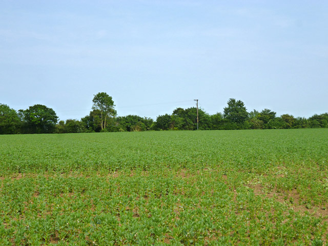
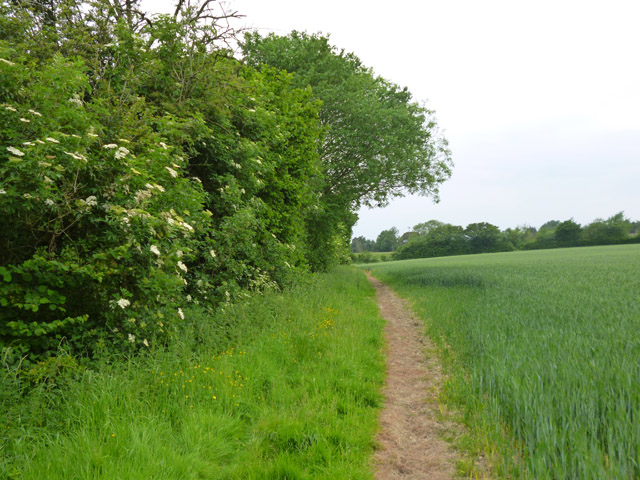
Situated near the village of Bumpsted, this hill provides visitors with picturesque panoramic views of the Essex countryside. The summit of the hill offers a vantage point from which one can observe the rolling fields, quaint villages, and meandering rivers that characterize the region. On a clear day, it is even possible to see as far as the distant coast.

The hill itself is covered with lush green grass and scattered with trees, creating a serene and idyllic atmosphere. This natural beauty makes Bumpsted Hill a popular spot among locals and tourists alike, who often visit for leisurely walks or to enjoy a peaceful picnic with friends and family.

Bumpsted Hill is also a site of historical interest, as it is believed to have been inhabited by humans for thousands of years. Archaeological evidence suggests that the hill was once occupied by ancient settlements, and remnants of these early civilizations have been discovered in the surrounding area.

Overall, Bumpsted Hill is a charming and tranquil destination that offers visitors an opportunity to connect with nature, appreciate the beauty of the Essex countryside, and delve into the rich history of the region.

If you have any feedback on the listing, please let us know in the comments section below.

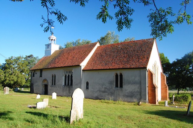
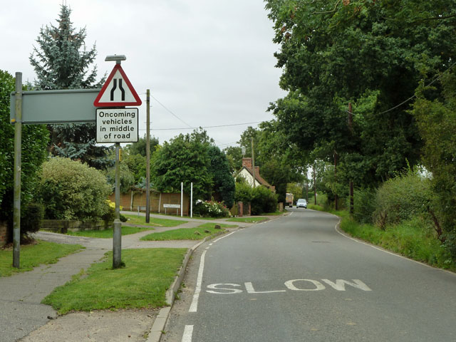
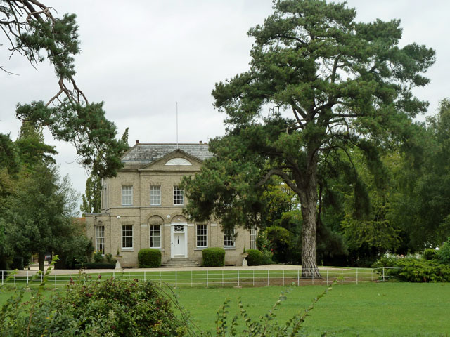
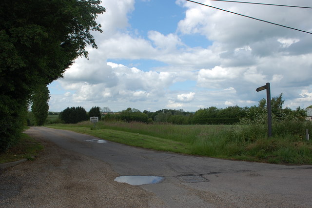
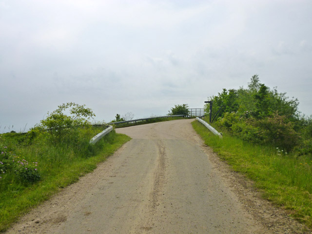
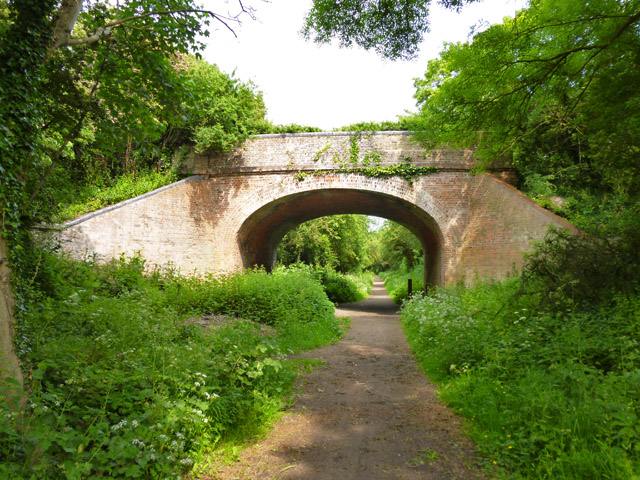
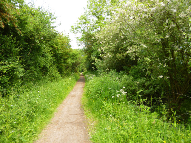
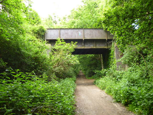
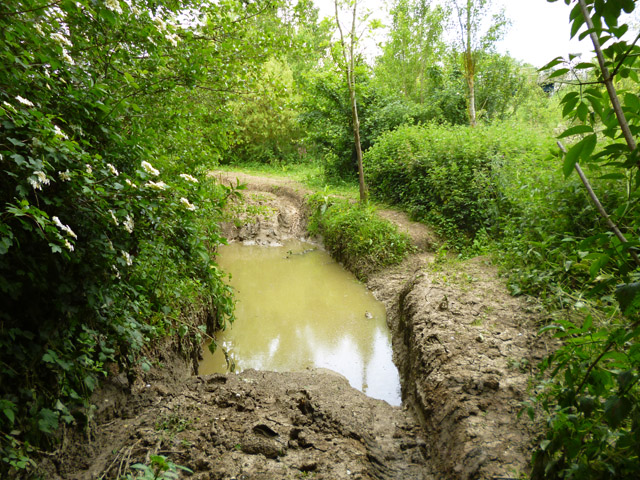
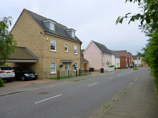
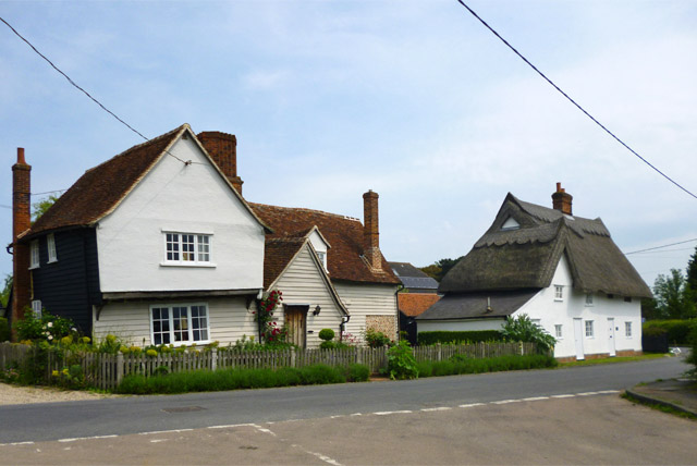
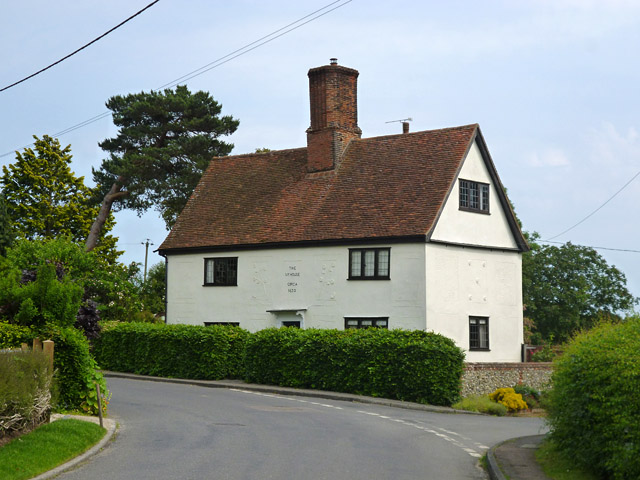
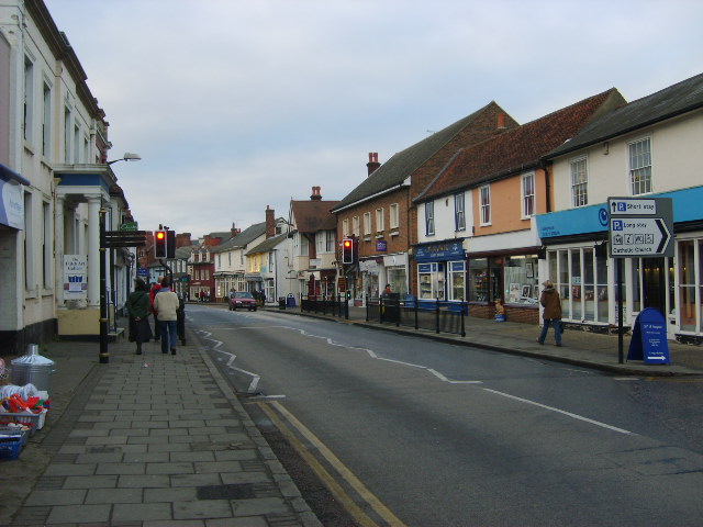
Bumpsted Hill Images

Images are sourced within 2km of 51.866738/0.38729987 or Grid Reference TL6421. Thanks to Geograph Open Source API. All images are credited.

St Andrew's, Parish Church Barnston
High Easter Road, Barnston A country road with quite a lot of modern residential development feeding into it from the left.
High Easter Road, Barnston
A country road with quite a lot of modern residential development feeding into it from the left.
Barnston Lodge Clearly not the gatehouse sort of lodge, this Georgian country house is now used as a wedding venue.
Barnston Lodge
Clearly not the gatehouse sort of lodge, this Georgian country house is now used as a wedding venue.
Private road to Martels Manor The private road is also the route of a public footpath, the finger post for which can be seen here. Taken from its junction with High Easter Road.
Private road to Martels Manor
The private road is also the route of a public footpath, the finger post for which can be seen here. Taken from its junction with High Easter Road.
Ongar Road Bridge, A120 The A120 is a trunk road that runs east-west across East Anglia from Harwich to Puckeridge, 63 miles in length. It follows the route of the Roman Road, Stane Street. <span class="nowrap"><a title="http://www.sabre-roads.org.uk/wiki/index.php?title=A120" rel="nofollow ugc noopener" href="http://www.sabre-roads.org.uk/wiki/index.php?title=A120">Link</a><img style="margin-left:2px;" alt="External link" title="External link - shift click to open in new window" src="https://s1.geograph.org.uk/img/external.png" width="10" height="10"/></span>
Ongar Road Bridge, A120
The A120 is a trunk road that runs east-west across East Anglia from Harwich to Puckeridge, 63 miles in length. It follows the route of the Roman Road, Stane Street. LinkExternal link
A120, Great Dunmow Bypass The A120 is a trunk road that runs east-west across East Anglia from Harwich to Puckeridge, 63 miles in length. It follows the route of the Roman Road, Stane Street. <span class="nowrap"><a title="http://www.sabre-roads.org.uk/wiki/index.php?title=A120" rel="nofollow ugc noopener" href="http://www.sabre-roads.org.uk/wiki/index.php?title=A120">Link</a><img style="margin-left:2px;" alt="External link" title="External link - shift click to open in new window" src="https://s1.geograph.org.uk/img/external.png" width="10" height="10"/></span>
A120, Great Dunmow Bypass
The A120 is a trunk road that runs east-west across East Anglia from Harwich to Puckeridge, 63 miles in length. It follows the route of the Roman Road, Stane Street. LinkExternal link
Footbridge, A120 The A120 is a trunk road that runs east-west across East Anglia from Harwich to Puckeridge, 63 miles in length. It follows the route of the Roman Road, Stane Street. <span class="nowrap"><a title="http://www.sabre-roads.org.uk/wiki/index.php?title=A120" rel="nofollow ugc noopener" href="http://www.sabre-roads.org.uk/wiki/index.php?title=A120">Link</a><img style="margin-left:2px;" alt="External link" title="External link - shift click to open in new window" src="https://s1.geograph.org.uk/img/external.png" width="10" height="10"/></span>
Footbridge, A120
The A120 is a trunk road that runs east-west across East Anglia from Harwich to Puckeridge, 63 miles in length. It follows the route of the Roman Road, Stane Street. LinkExternal link
Station Road Bridge, A120 The A120 is a trunk road that runs east-west across East Anglia from Harwich to Puckeridge, 63 miles in length. It follows the route of the Roman Road, Stane Street. <span class="nowrap"><a title="http://www.sabre-roads.org.uk/wiki/index.php?title=A120" rel="nofollow ugc noopener" href="http://www.sabre-roads.org.uk/wiki/index.php?title=A120">Link</a><img style="margin-left:2px;" alt="External link" title="External link - shift click to open in new window" src="https://s1.geograph.org.uk/img/external.png" width="10" height="10"/></span>
Station Road Bridge, A120
The A120 is a trunk road that runs east-west across East Anglia from Harwich to Puckeridge, 63 miles in length. It follows the route of the Roman Road, Stane Street. LinkExternal link
A field of beans Between the new and old A120, the latter, the ancient Stane Street, now B1256.
A field of beans
Between the new and old A120, the latter, the ancient Stane Street, now B1256.
Grange Lane near the A120 The lane ramps up to a farm and footpath bridge over the A120, but itself turns left and after a short distance degenerates to a public byway through to Great Dunmow.
Grange Lane near the A120
The lane ramps up to a farm and footpath bridge over the A120, but itself turns left and after a short distance degenerates to a public byway through to Great Dunmow.
Old railway bridge, Little Dunmow Brook Lane crosses the former Bishop's Stortford - Braintree railway, now a cycle path.
Old railway bridge, Little Dunmow
Brook Lane crosses the former Bishop's Stortford - Braintree railway, now a cycle path.
The Flitch Way The former Bishop's Stortford - Braintree railway, now a cycle path.
The Flitch Way
The former Bishop's Stortford - Braintree railway, now a cycle path.
Old railway bridge The former Bishop's Stortford - Braintree railway crosses a byway. The Flitch Way cycle path, mostly using the railway route, does not cross here, but ramps down from the embankment on the other side of the bridge. It then passes under the bridge and uses the byway for the rest of the way into Great Dunmow.
Old railway bridge
The former Bishop's Stortford - Braintree railway crosses a byway. The Flitch Way cycle path, mostly using the railway route, does not cross here, but ramps down from the embankment on the other side of the bridge. It then passes under the bridge and uses the byway for the rest of the way into Great Dunmow.
Off-roaders' wallow The public byway here is a magnet for off-roaders, who, fortunately for other users, confine their more extreme fun to tracks off the byway, between the byway and the River Chelmer. This is perhaps the most extreme bit I found. It appears to be rather deep.
Off-roaders' wallow
The public byway here is a magnet for off-roaders, who, fortunately for other users, confine their more extreme fun to tracks off the byway, between the byway and the River Chelmer. This is perhaps the most extreme bit I found. It appears to be rather deep.
Houses on Baynard Avenue, Flitch Green A 21st century civil parish built on the site of a sugar refinery, between Little Dunmow and Felsted.
Houses on Baynard Avenue, Flitch Green
A 21st century civil parish built on the site of a sugar refinery, between Little Dunmow and Felsted.
Footpath to Little Dunmow The path skirts round The Moors to the left. In these parts such a name implies a pretty damp area. The mapped route of the public path actually passes through this, but there is no trace of anybody trying to follow the route. There is a fair bit of optimistic routing of public paths through marshes around here, fortunately most have reasonable ways round, as this.
Footpath to Little Dunmow
The path skirts round The Moors to the left. In these parts such a name implies a pretty damp area. The mapped route of the public path actually passes through this, but there is no trace of anybody trying to follow the route. There is a fair bit of optimistic routing of public paths through marshes around here, fortunately most have reasonable ways round, as this.
Rose Farm and Rose Farm Cottage, Little Dunmow Rose Farm, on the left, was built around 1400. The thatched house is of 16th century or earlier build. Both are grade II listed.
Rose Farm and Rose Farm Cottage, Little Dunmow
Rose Farm, on the left, was built around 1400. The thatched house is of 16th century or earlier build. Both are grade II listed.
The Ivy House, Little Dunmow Dated 'circa 1630' on the front, it is grade II listed.
The Ivy House, Little Dunmow
Dated 'circa 1630' on the front, it is grade II listed.
Show me another place!

Bumpsted Hill is located at Grid Ref: TL6421 (Lat: 51.866738, Lng: 0.38729987)

Administrative County: Essex

District: Uttlesford

Police Authority: Essex

What 3 Words

///salaried.pencil.tins. Near Great Dunmow, Essex

Nearby Locations

Bumpsted Hill

Related Wikis

Nearby Amenities

Located within 500m of 51.866738,0.38729987
Power: pole
Lat/Long: 51.8674144/0.3817558
Power: pole
Lat/Long: 51.870154/0.386481
Line Management: transition
Power: pole
Lat/Long: 51.8673194/0.3815893
Power: pole
Lat/Long: 51.8707896/0.3874945
Power: pole
Lat/Long: 51.8686995/0.3840834
Line Management: transition
Power: pole
Lat/Long: 51.8673117/0.3817861
Power: pole
Lat/Long: 51.8681331/0.3830477
Power: pole
Lat/Long: 51.8693818/0.3851493
Line Management: transition
Power: pole
Lat/Long: 51.8676788/0.3836539
Power: pole
Lat/Long: 51.8677802/0.3851114
Power: pole
Lat/Long: 51.8679392/0.3866512
Power: pole
Lat/Long: 51.8682538/0.3898591
Power: pole
Lat/Long: 51.8684095/0.391168
Power: pole
Lat/Long: 51.8685486/0.3926861
Power: pole
Lat/Long: 51.8670454/0.380919
Power: pole
Lat/Long: 51.8669603/0.3808864
Line Management: transition
Power: pole
Lat/Long: 51.8670382/0.3810685
Line Management: transition
Power: pole
Lat/Long: 51.8669445/0.3810171
Line Management: transition
Power: pole
Lat/Long: 51.8675356/0.3836822
The data included in this document is from www.openstreetmap.org. The data is made available under ODbL.

Have you been to Bumpsted Hill?

Leave your review of Bumpsted Hill below (or comments, questions and feedback).