Orange Hill
Hill, Mountain in Kent Gravesham
England
Orange Hill
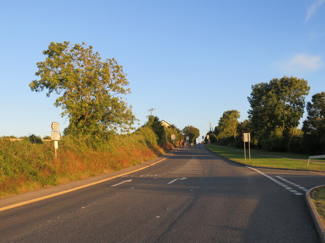
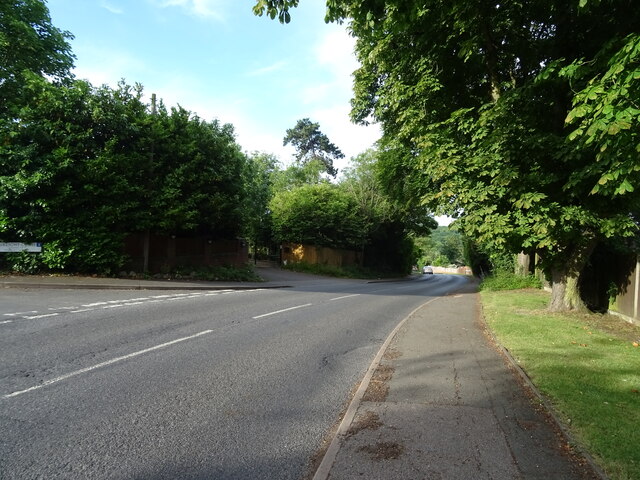
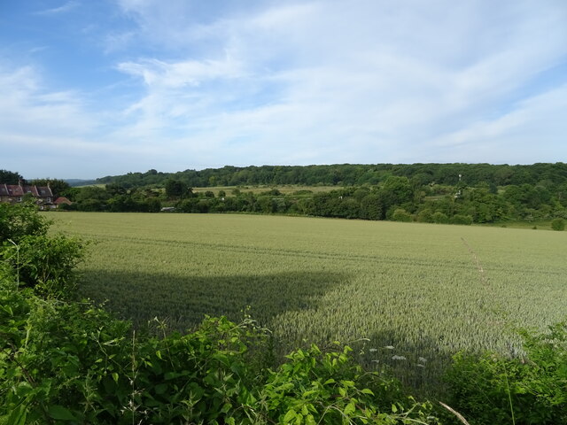
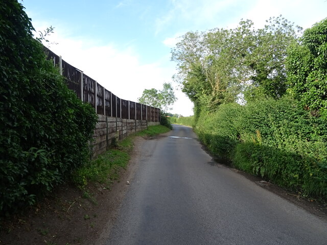
Orange Hill is a prominent hill located in the county of Kent, England. Situated near the village of Shoreham, the hill is part of the North Downs, a range of chalk hills that extends across southeastern England. Rising to an elevation of approximately 171 meters (561 feet), Orange Hill offers stunning panoramic views of the surrounding countryside.
The hill derives its name from the vibrant orange hue that the chalky soil takes on during certain seasons, particularly in autumn. This unique characteristic has made Orange Hill a popular destination for nature enthusiasts and photographers alike.
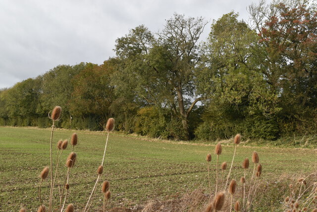
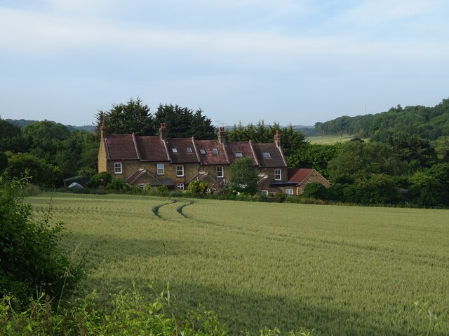
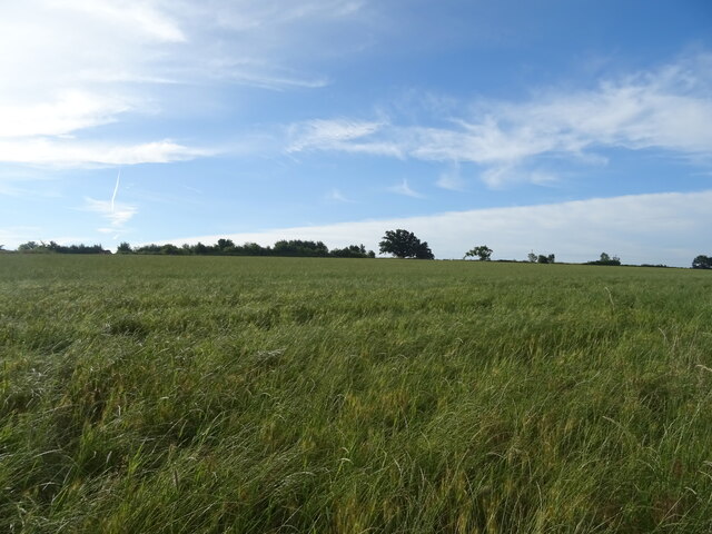
Orange Hill is covered in a diverse range of flora and fauna, including wildflowers, grasses, and small woodland areas. The hill is also home to various species of birds, butterflies, and other wildlife, making it an ideal spot for birdwatching and nature walks.
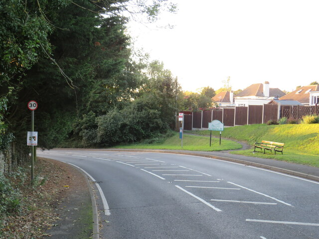
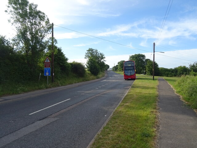
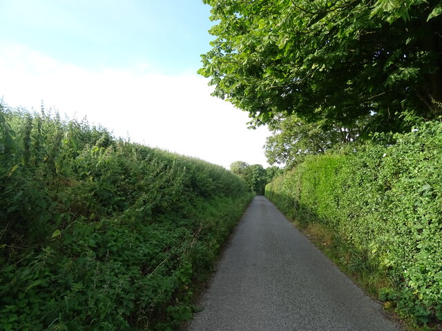
Due to its elevation and picturesque surroundings, Orange Hill has become a favored spot for outdoor activities such as hiking, picnicking, and kite flying. The hill is easily accessible by foot or by car, with several footpaths and trails leading to its summit.
In addition to its natural beauty, Orange Hill also boasts a rich historical significance. The area is dotted with remnants of ancient settlements, including Iron Age earthworks and Roman ruins. Archaeological excavations have uncovered artifacts and evidence of human habitation dating back centuries.
Overall, Orange Hill offers a perfect blend of natural beauty, outdoor recreation opportunities, and historical significance, making it a must-visit destination for both locals and tourists exploring the Kent countryside.
If you have any feedback on the listing, please let us know in the comments section below.
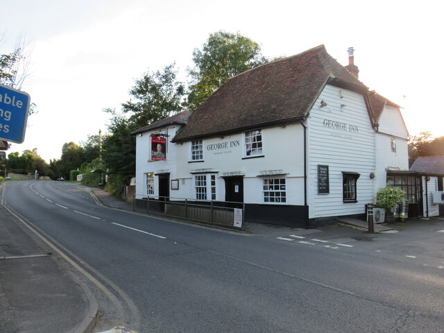
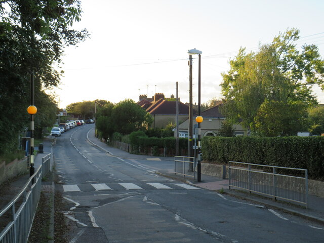
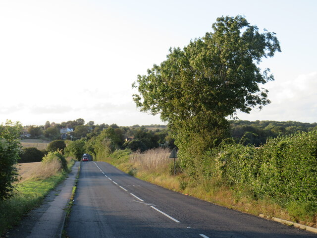
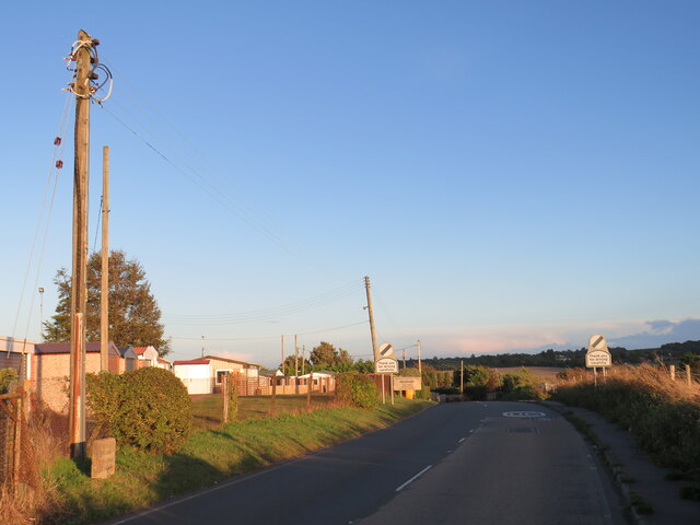
Orange Hill Images
Images are sourced within 2km of 51.380852/0.33916095 or Grid Reference TQ6267. Thanks to Geograph Open Source API. All images are credited.
Orange Hill is located at Grid Ref: TQ6267 (Lat: 51.380852, Lng: 0.33916095)
Administrative County: Kent
District: Gravesham
Police Authority: Kent
What 3 Words
///deck.year.clock. Near Meopham, Kent
Nearby Locations
Related Wikis
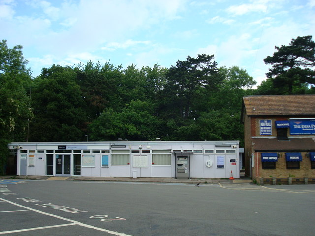
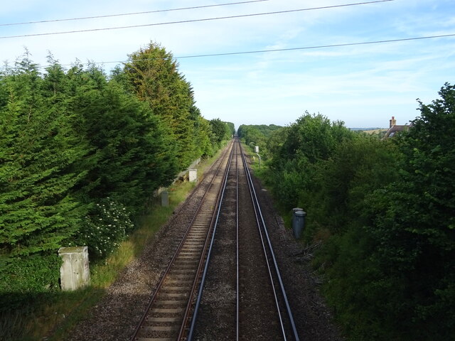
Meopham railway station
Meopham railway station is on the Chatham Main Line in England, serving the village of Meopham, Kent. It is 25 miles 76 chains (41.8 km) down the line...

Lathe of Sutton at Hone
The Lathe of Sutton-at-Hone historically included a large part of Kent: the present-day boroughs of Dartford, Bexley, Greenwich, Bromley, Lewisham, Sevenoaks...

New Barn
New Barn is a village in Kent, England. It is a compact residential area surrounded by open fields which lies four miles southwest of Gravesend. It is...

Axstane Hundred
Axstane was a hundred in the county of Kent, England. The Hundred of Axstane lay south-east of Dartford and Wilmington Hundred. It is called Achestan in...
Toltingtrough
Toltingtrough (or Toltingtrow) was a hundred in the Lathe of Aylesford in the county of Kent, England. This hundred is called, in some ancient writings...

Meopham School
Meopham School is a Coeducational secondary school with approximately 950 students, located in Meopham, Kent, England, UK. The school is non-selective...

Camer Park Country Park
Camer Country Park is in Meopham, in Kent, England. It is a former estate landscape, with grassland and woodland. == History == This park was originally...

Nurstead
Nurstead (or Nursted) is a locality, ecclesiastical parish and former civil parish situated 3 miles south of Gravesend and ½ a mile north of Meopham,...
Nearby Amenities
Located within 500m of 51.380852,0.33916095Have you been to Orange Hill?
Leave your review of Orange Hill below (or comments, questions and feedback).