Bestbeech Hill
Hill, Mountain in Sussex Wealden
England
Bestbeech Hill

Bestbeech Hill is a prominent geographical feature located in Sussex, England. Standing at an elevation of approximately 250 meters, it is commonly regarded as a hill rather than a mountain due to its relatively modest height. The hill is situated in the South Downs, a range of chalk hills that stretches across several counties in southern England.
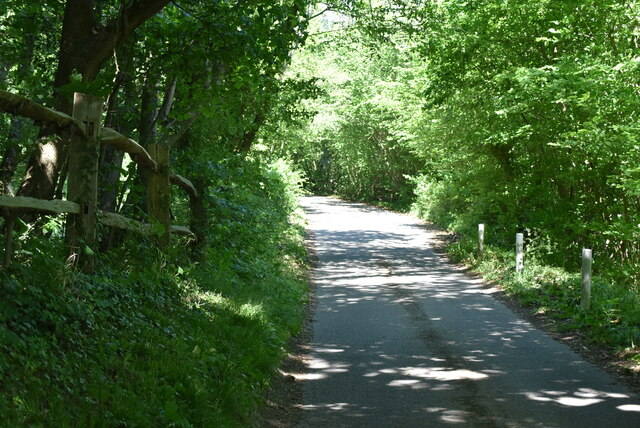
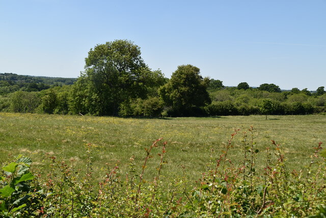
Bestbeech Hill boasts breathtaking panoramic views of the surrounding countryside, making it a popular destination for hikers, nature enthusiasts, and photographers alike. Its location within the South Downs National Park ensures that visitors are treated to an abundance of natural beauty and diverse wildlife.
The hill is predominantly covered in lush grassland, interspersed with patches of woodland. This rich vegetation supports a variety of plant species, including wildflowers such as bluebells and cowslips, as well as numerous species of birds, butterflies, and insects.
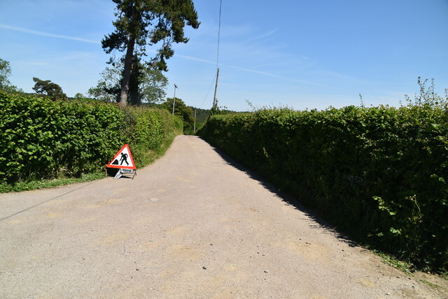
For those seeking outdoor activities, Bestbeech Hill offers numerous walking trails and footpaths that allow visitors to explore its picturesque surroundings. The hill is also a popular spot for paragliding, with enthusiasts taking advantage of the updrafts and clear skies to enjoy thrilling flights.
Despite its relatively modest size, Bestbeech Hill holds historical significance. It is believed to have been inhabited by humans since the Neolithic era, with evidence of ancient settlements and burial sites found in the vicinity. The hill also played a role in World War II, serving as a lookout point for the local defense forces.
Overall, Bestbeech Hill is a stunning natural landmark that showcases the beauty and diversity of the Sussex countryside. Its enchanting views, rich biodiversity, and historical significance make it a cherished destination for both locals and tourists.
If you have any feedback on the listing, please let us know in the comments section below.
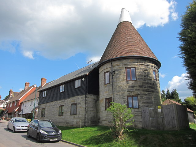
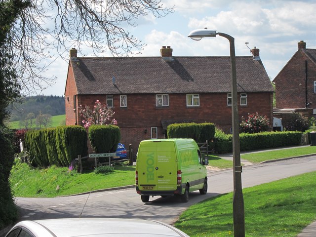
Bestbeech Hill Images
Images are sourced within 2km of 51.060677/0.31053819 or Grid Reference TQ6231. Thanks to Geograph Open Source API. All images are credited.


Bestbeech Hill is located at Grid Ref: TQ6231 (Lat: 51.060677, Lng: 0.31053819)
Administrative County: East Sussex
District: Wealden
Police Authority: Sussex
What 3 Words
///tapers.third.shifters. Near Wadhurst, East Sussex
Nearby Locations
Related Wikis

Best Beech Hill
Best Beech Hill is a locality in the civil parish of Wadhurst in the Wealden district of East Sussex, England. Wadhurst lies approximately 1.6 miles...

Wadhurst railway station
Wadhurst railway station is on the Hastings line in the south of England and serves the town of Wadhurst, East Sussex. It is 39 miles 23 chains (63.2 km...

Wadhurst
Wadhurst is a market town in East Sussex, England. It is the centre of the civil parish of Wadhurst, which also includes the hamlets of Cousley Wood and...
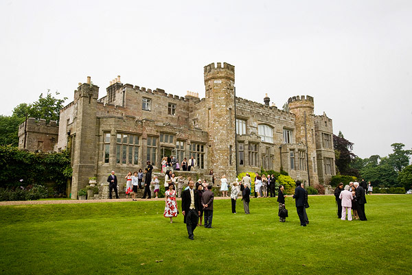
Wadhurst Castle
Wadhurst Castle is a 19th-century castellated mansion just to the west of the town of Wadhurst, East Sussex, England, in an elevated position overlooking...

Tidebrook
Tidebrook is a hamlet within the parish of Wadhurst in East Sussex, England. It is located between the villages of Mayfield and Wadhurst. The brook for...
Uplands Academy
Uplands Academy (formerly Uplands Community College) is a coeducational secondary school and sixth form located in Wadhurst, East Sussex, England. ��2...

Rehoboth Chapel, Pell Green
Rehoboth Chapel is a former Strict Baptist place of worship in the hamlet of Pell Green in East Sussex, England. Pell Green is in the parish of Wadhurst...
Wadhurst Park
Wadhurst Park is a landed estate located in Wadhurst, East Sussex. It is owned by the Rausing family. The estate is 796 hectares and includes a deer park...
Nearby Amenities
Located within 500m of 51.060677,0.31053819Have you been to Bestbeech Hill?
Leave your review of Bestbeech Hill below (or comments, questions and feedback).