Beacon Hill

Hill, Mountain in Essex

England

Beacon Hill

Ferries at Purfleet Closest to camera is Mazarine operating the Purfleet-Rotterdam route.  the second vessel is Pauline on the Zeebrugge route.
Ferries at Purfleet Credit: Martin Addison

Beacon Hill, located in the county of Essex, England, is a prominent hill and natural landmark in the region. Situated within the district of Rochford, it is part of the larger Essex Hills, a range of undulating terrain that characterizes the local landscape.

Rising to an elevation of approximately 105 meters (344 feet), Beacon Hill offers breathtaking panoramic views of the surrounding countryside. Its summit is adorned with a beacon, historically used as a signal point to alert nearby communities of impending danger. This beacon has long been an iconic feature of the hill, adding to its historical significance.

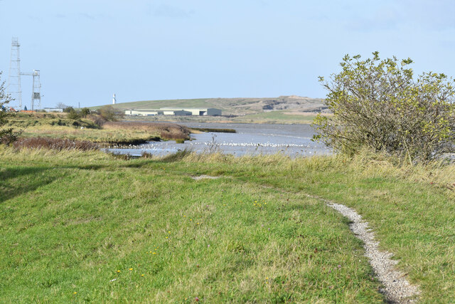
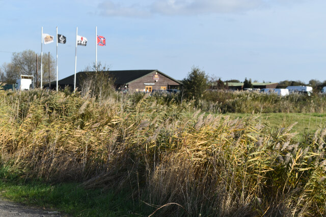
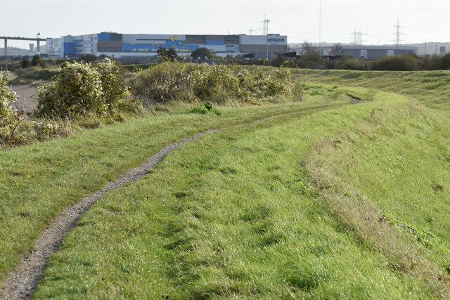
The hill itself is predominantly covered in grassland, interspersed with patches of woodland and shrubbery. It provides a habitat for a variety of fauna and flora, including several bird species, rabbits, and wildflowers. The area is well-maintained and offers ample opportunity for leisurely walks, picnics, and nature appreciation.

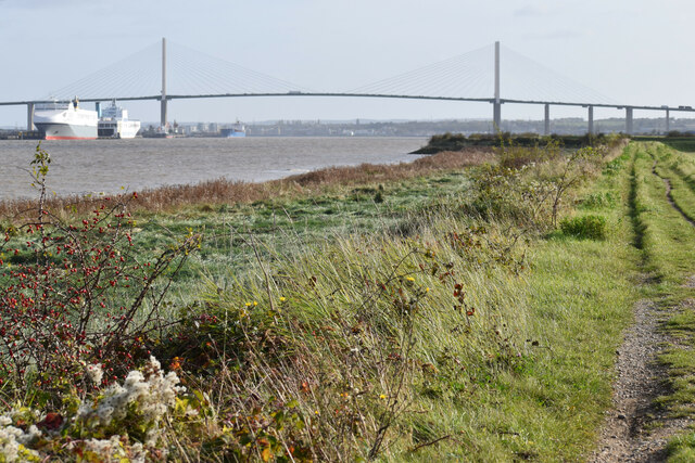
Beacon Hill is also a popular destination for outdoor enthusiasts, attracting hikers, cyclists, and nature lovers alike. Its well-marked trails and footpaths provide access to the hilltop, allowing visitors to enjoy the stunning vistas and peaceful surroundings. The hill's convenient location, just a short distance from nearby towns and villages, makes it easily accessible for both locals and tourists.

Overall, Beacon Hill, Essex, is a beautiful natural landmark with historical significance. Its elevated position, scenic beauty, and recreational opportunities make it a cherished destination for those seeking solace in nature or a memorable outdoor adventure.

If you have any feedback on the listing, please let us know in the comments section below.
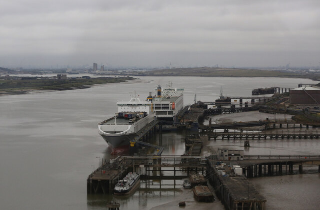
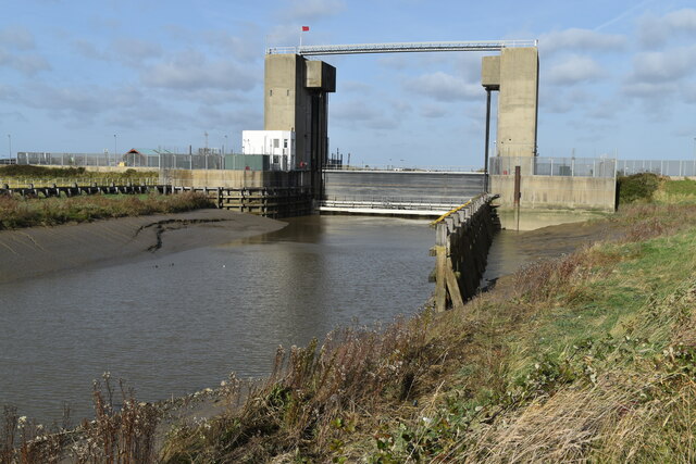
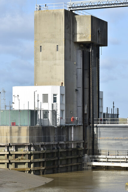
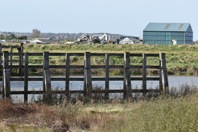
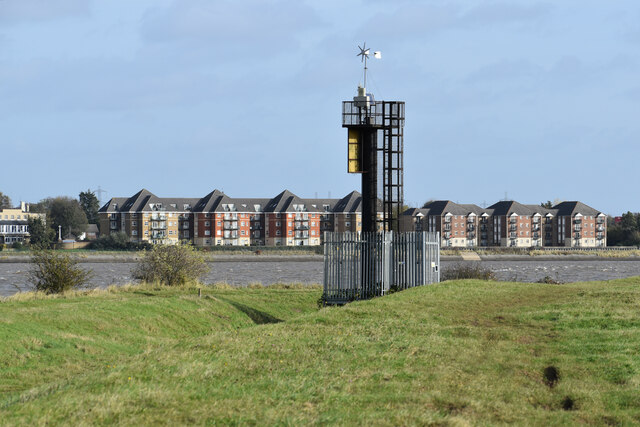
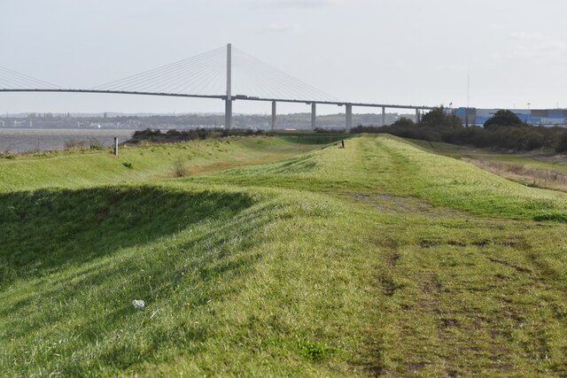
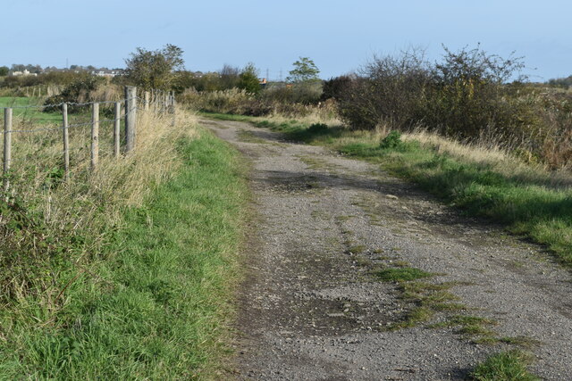
Beacon Hill Images

Images are sourced within 2km of 51.48098/0.24264167 or Grid Reference TQ5578. Thanks to Geograph Open Source API. All images are credited.

Ferries at Purfleet Closest to camera is Mazarine operating the Purfleet-Rotterdam route.  the second vessel is Pauline on the Zeebrugge route.
Ferries at Purfleet
Closest to camera is Mazarine operating the Purfleet-Rotterdam route. the second vessel is Pauline on the Zeebrugge route.
Dartford Creek Flood Barrier The barrier was closed due to an approaching high tide, with the river level in the Thames already a couple of metres above that in the Darent.
Dartford Creek Flood Barrier
The barrier was closed due to an approaching high tide, with the river level in the Thames already a couple of metres above that in the Darent.
West tower of Dartford Creek Flood Barrier A guillotine-style barrier with two moving sections lowered on chains into the river, protecting Dartford Creek and surrounding areas from high water levels in the Thames beyond.
West tower of Dartford Creek Flood Barrier
A guillotine-style barrier with two moving sections lowered on chains into the river, protecting Dartford Creek and surrounding areas from high water levels in the Thames beyond.
Footpath at mouth of the River Darent, with distant view of the Thames
Dartford Creek, just below the flood barrier
Beacon at the mouth of Dartford Creek The riverside apartments are at Purfleet on the opposite bank of the Thames.
Beacon at the mouth of Dartford Creek
The riverside apartments are at Purfleet on the opposite bank of the Thames.
On the Thames flood bank at Dartford Marshes The grass bank is part of the Thames flood protection system. The Queen Elizabeth II Bridge is in the distance.
On the Thames flood bank at Dartford Marshes
The grass bank is part of the Thames flood protection system. The Queen Elizabeth II Bridge is in the distance.
Track on Dartford Marshes
Shooting range on Dartford Marshes
Path beside the Thames, looking to Queen Elizabeth II Bridge
View across Thames to jetty and Harris Academy Riverside
Path on Thames flood bank The large building in the distance is the recently-built Amazon warehouse on part of the Littlebrook Power Station site.
Path on Thames flood bank
The large building in the distance is the recently-built Amazon warehouse on part of the Littlebrook Power Station site.
River Thames at the mouth of Little Powder Creek
Path beside Longreach Sewage Treatment Works
Freight ferries Pauline and Alf Pollak at Purbrook
Disused Littlebrook jetty, with freight ferry Alf Pollak across the river
Disused jetty at Littlebrook with view across the river to Purfleet
Disused jetty at Littlebrook, with Queen Elizabeth II Bridge beyond
Show me another place!

Beacon Hill is located at Grid Ref: TQ5578 (Lat: 51.48098, Lng: 0.24264167)

Unitary Authority: Thurrock

Police Authority: Essex

What 3 Words

///mount.chip.space. Near Purfleet, Essex

Nearby Locations

Purfleet Beacon Hill

Related Wikis

Harris Academy Riverside

Harris Academy Riverside is a coeducational secondary school and sixth form located in the Purfleet in the Thurrock unitary authority, Essex, England....

Purfleet railway station

Purfleet railway station is on the London, Tilbury and Southend line serving the town of Purfleet, Essex. It is 16 miles 2 chains (25.8 km) down the line...

Purfleet

Purfleet-on-Thames is a town in the Thurrock unitary authority, Essex, England. It is bordered by the A13 road to the north and the River Thames to the...
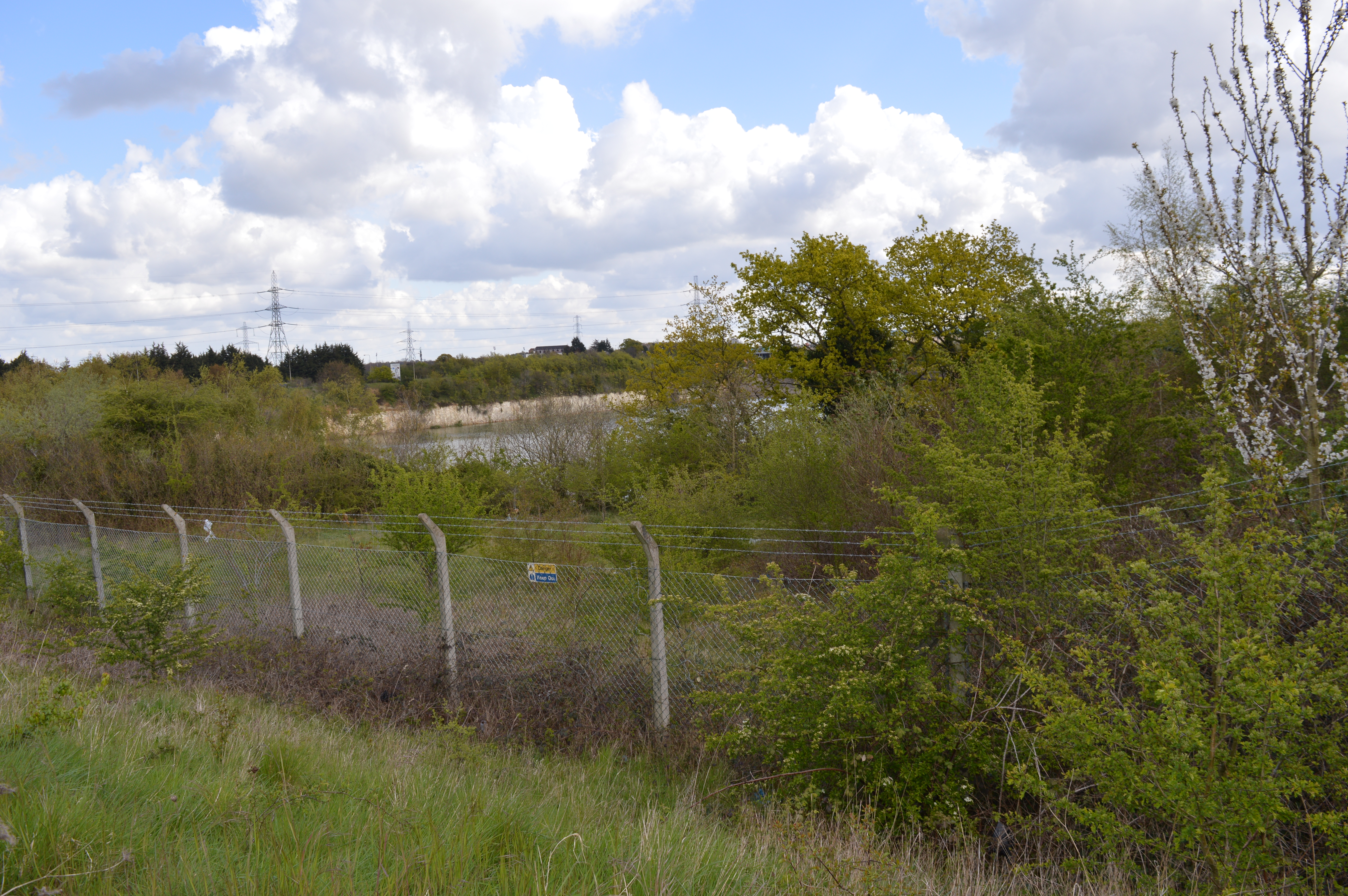
Purfleet Chalk Pits

Purfleet Chalk Pits is a 10.7-hectare (26-acre) geological Site of Special Scientific Interest in Purfleet in Essex. It is a Geological Conservation Review...
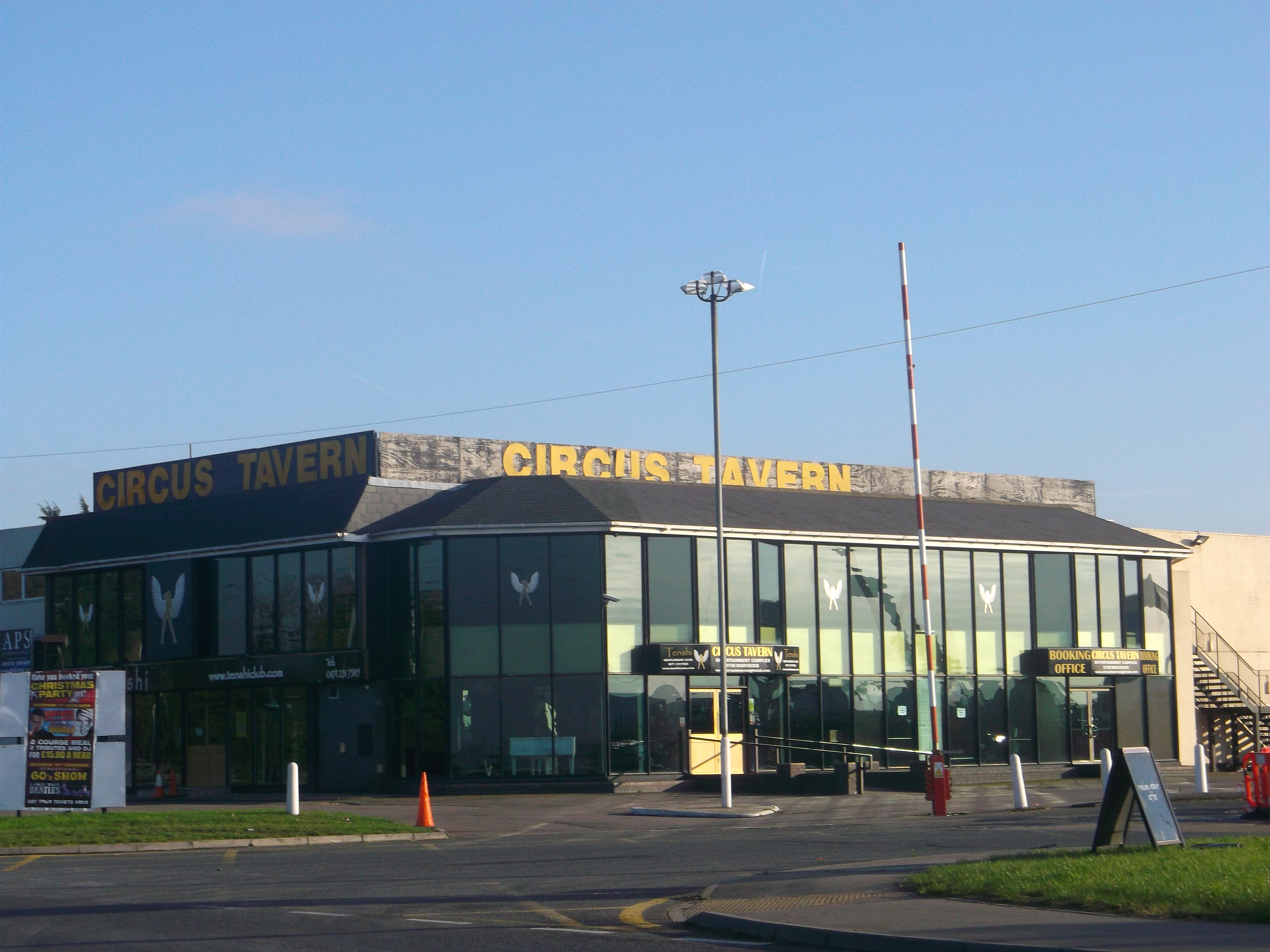
Circus Tavern

The Circus Tavern is an entertainment venue in Purfleet, Essex, England which hosts functions, cabaret acts and is also a nightclub venue. First opened...

National College Creative Industries

National College Creative Industries, formally the National College for the Creative and Cultural Industries, is a college providing technical skills for...

High House, Purfleet

High House is the collective name for a group of historic buildings in Purfleet, Thurrock, Essex, which was used as a farm for hundreds of years, with...
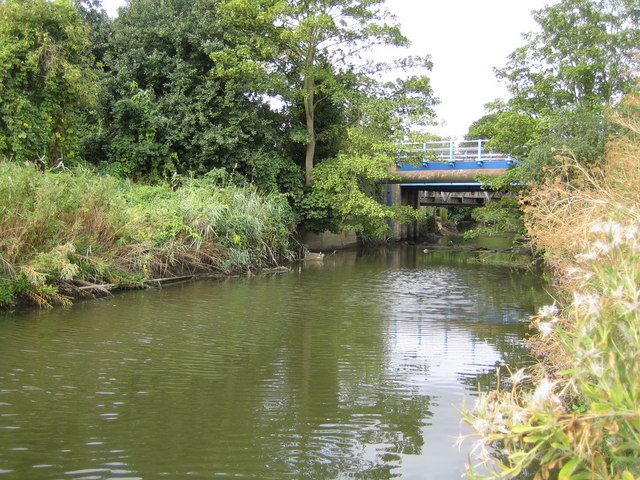
Mardyke (river)

The Mardyke (sometimes, but less frequently, Mar Dyke, occasionally Mardike) is a small river, mainly in Thurrock, that flows into the River Thames at...

Nearby Amenities

Located within 500m of 51.48098,0.24264167
Purfleet-on-Thames
Is In: Essex, England, UK
Is In Country: UK
Is In County: Essex
Place: village
Wikidata: Q1972020
Wikipedia: en:Purfleet
Lat/Long: 51.4816756/0.2395499
Mini Roundabout
Direction: clockwise
Lat/Long: 51.4796107/0.248135
Bus Stop
Railway Station
Naptan AtcoCode: 1590000301
Naptan Bearing: E
Naptan CommonName: Railway Station
Naptan Indicator: Eastbound
Naptan Landmark: Rail Station
Naptan NaptanCode: thuadmj
Naptan Street: London Road
Naptan Verified: no
Public Transport: platform
Source: naptan_import
Lat/Long: 51.4804844/0.2380287
Bus Stop
Railway Station
Naptan AtcoCode: 1590000401
Naptan Bearing: W
Naptan CommonName: Railway Station
Naptan Indicator: Westbound
Naptan Landmark: Rail Station
Naptan NaptanCode: thuadmp
Naptan Street: London Road
Naptan Verified: no
Public Transport: platform
Source: naptan_import
Lat/Long: 51.4803679/0.2380064
Bus Stop
Linnet Way
Naptan AtcoCode: 1590000501
Naptan Bearing: E
Naptan CommonName: Linnet Way
Naptan Crossing: Mill Road
Naptan Indicator: Eastbound
Naptan Landmark: Beacon Hill
Naptan NaptanCode: thudgdm
Naptan Street: London Road
Naptan Verified: no
Public Transport: platform
Source: naptan_import
Lat/Long: 51.4794379/0.2427912
Bus Stop
Linnet Way
Naptan AtcoCode: 1590000601
Naptan Bearing: W
Naptan CommonName: Linnet Way
Naptan Crossing: Beacon Hill
Naptan Indicator: Westbound
Naptan Landmark: Milll Road
Naptan NaptanCode: thuadmt
Naptan Street: London Road
Naptan Verified: no
Public Transport: platform
Source: naptan_import
Lat/Long: 51.4791261/0.2447033
Bus Stop
London Road Lindon Close
Naptan AtcoCode: 1590000701
Naptan Bearing: E
Naptan CommonName: London Road Lindon Close
Naptan Indicator: Eastbound
Naptan Landmark: Linden Close
Naptan NaptanCode: thudgdp
Naptan Street: London Road
Naptan Verified: no
Public Transport: platform
Source: naptan_import
Lat/Long: 51.4788231/0.2476206
Railway: switch
Lat/Long: 51.4794576/0.2377595
Railway: switch
Lat/Long: 51.4798707/0.2375092
Railway: buffer_stop
Lat/Long: 51.4804467/0.2370898
Purfleet Level Crossing
Crossing Barrier: double_half
Railway: level_crossing
Lat/Long: 51.4806984/0.2371331
Purfleet
Public Transport: stop_position
Railway: stop
Ref: 1
Train: yes
Lat/Long: 51.4823503/0.2368947
Purfleet Level Crossing
Crossing Barrier: double_half
Railway: level_crossing
Lat/Long: 51.4807124/0.2370776
Railway: switch
Lat/Long: 51.4802206/0.2372976
Railway: switch
Lat/Long: 51.480518/0.2371993
Purfleet
Public Transport: stop_position
Railway: stop
Ref: 2
Train: yes
Lat/Long: 51.4809272/0.2370678
Esso Level Crossing
Railway: level_crossing
Lat/Long: 51.4770536/0.243038
Esso Level Crossing
Railway: level_crossing
Lat/Long: 51.4770216/0.2430262
Esso Level Crossing
Railway: level_crossing
Lat/Long: 51.4769637/0.2430062
Purfleet
Naptan AtcoCode: 9100PURFLET
Network: National Rail
Network Website: https://www.nationalrail.co.uk/stations/pfl/
Network Wikidata: Q26334
Operator: c2c
Public Transport: station
Railway: station
Ref Crs: PFL
Source: NPE
Source Ref: http://en.wikipedia.org/wiki/List_of_London_railway_stations
Train: yes
Wikidata: Q2506816
Wikipedia: en:Purfleet railway station
Lat/Long: 51.4810858/0.2369945
Crossing
Crossing: unmarked
Crossing Island: yes
Crossing Markings: no
Lat/Long: 51.4846728/0.2459644
Purfleet General Stores
Shop: convenience
Lat/Long: 51.4803863/0.2378283
Barrier: kerb
Kerb: lowered
Tactile Paving: no
Lat/Long: 51.4812348/0.2355345
Purfleet Long Siding Junction North
Railway: junction
Lat/Long: 51.4797035/0.2376731
Toilets
Access: customers
Check Date: 2022-07-14
Fee: no
Opening Hours: Mo-Fr 06:00-14:00
Source: survey
Toilets Disposal: flush
Lat/Long: 51.4811363/0.2368445
Post Box
Post Box Type: wall
Lat/Long: 51.4804232/0.2378529
Power: substation
Lat/Long: 51.4798351/0.2396383
Crossing
Crossing: unmarked
Crossing Markings: no
Lat/Long: 51.480581/0.2374079
Traffic Signals
Traffic Signals: signal
Traffic Signals Direction: forward
Lat/Long: 51.4806483/0.2373188
Traffic Signals
Traffic Signals: signal
Traffic Signals Direction: backward
Lat/Long: 51.4807405/0.2369754
Barrier: cycle_barrier
Lat/Long: 51.4845973/0.2460745
Crossing
Crossing: unmarked
Crossing Markings: no
Lat/Long: 51.4834077/0.2486924
Crossing
Crossing: uncontrolled
Crossing Island: no
Crossing Markings: zebra
Lat/Long: 51.4821826/0.2493443
The data included in this document is from www.openstreetmap.org. The data is made available under ODbL.

Have you been to Beacon Hill?

Leave your review of Beacon Hill below (or comments, questions and feedback).