Furze Hill

Hill, Mountain in Cambridgeshire South Cambridgeshire

England

Furze Hill

Chilford Hall Vineyard Entrance to the vineyard. Looking towards Linton on the Linton - Balsham road.
Chilford Hall Vineyard Credit: mike

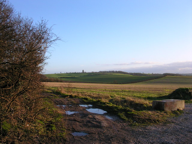
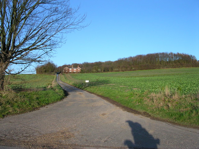
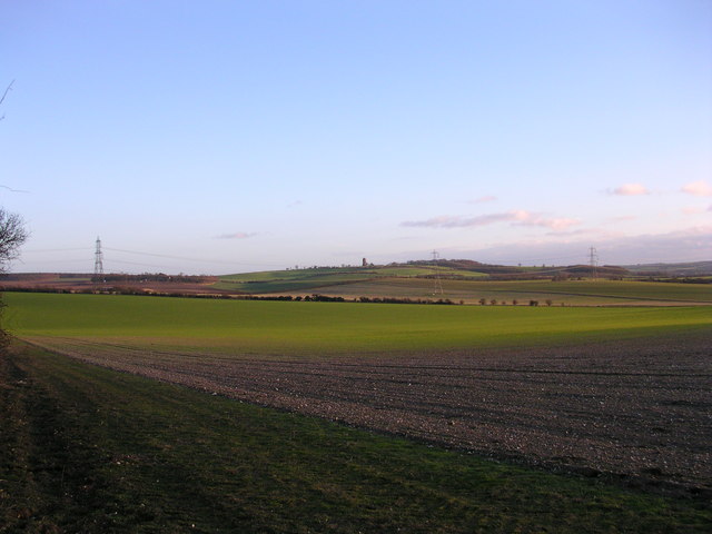
Furze Hill is a prominent hill located in the county of Cambridgeshire, England. Situated in the eastern part of the county, it is part of the gently rolling landscape that characterizes this region. Despite its name, Furze Hill does not possess the characteristics of a true mountain, but rather a modest hill that reaches an elevation of approximately 61 meters (200 feet) above sea level.

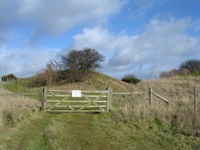
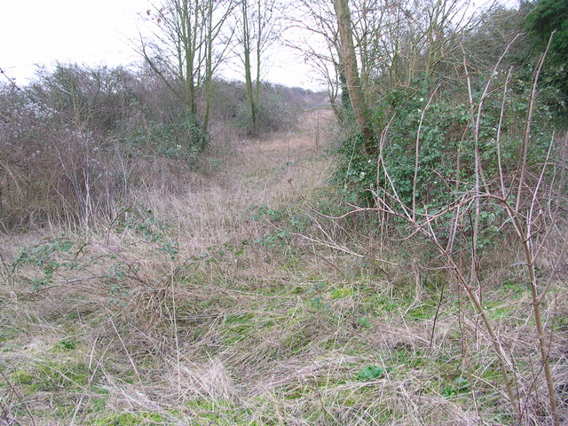
Covered in heather and gorse, Furze Hill offers a picturesque view of the surrounding countryside. Its slopes are predominantly composed of sandy soils, which are well-drained and support a diverse range of plant species. The hill is part of an important nature reserve, providing a habitat for various wildlife, including birds, insects, and small mammals.

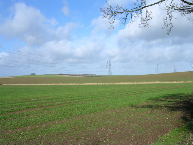
Furze Hill is a popular destination for outdoor enthusiasts and nature lovers. Its gentle slopes make it an excellent location for hiking, walking, and picnicking. On clear days, visitors can enjoy panoramic views of the Cambridgeshire countryside, with its patchwork of fields, hedgerows, and distant villages.

The hill is easily accessible, with footpaths leading to its summit from nearby villages and towns. It is also surrounded by several other natural attractions, such as forests, rivers, and wetlands, making it an ideal starting point for exploring the natural beauty of Cambridgeshire.

Overall, Furze Hill is a charming and scenic destination that offers visitors a chance to immerse themselves in the natural splendor of this part of England. Whether seeking a tranquil walking experience or simply enjoying the breathtaking views, Furze Hill is a must-visit location for anyone exploring Cambridgeshire's countryside.

If you have any feedback on the listing, please let us know in the comments section below.
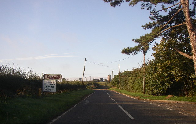
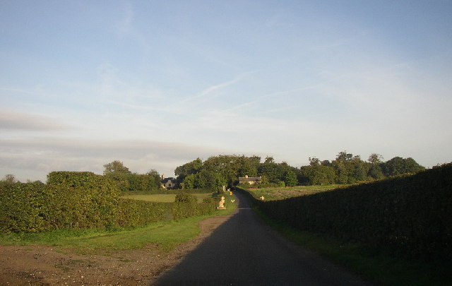
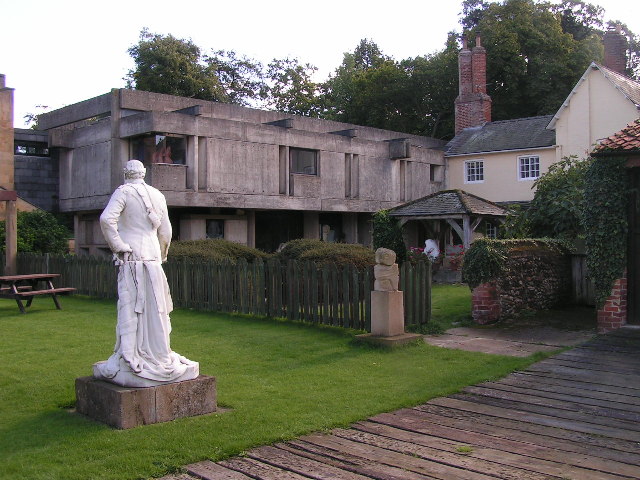
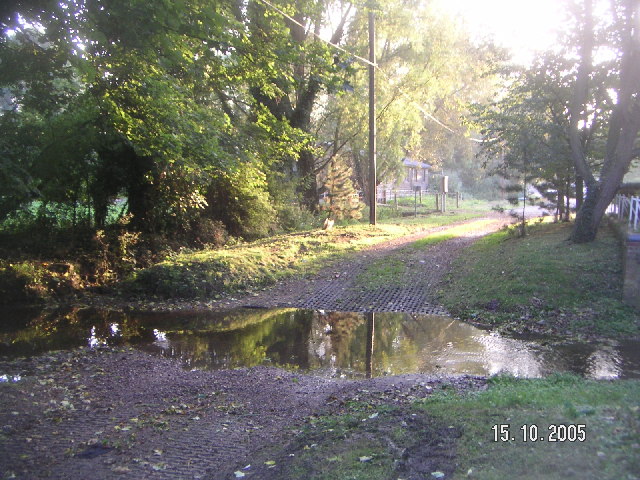
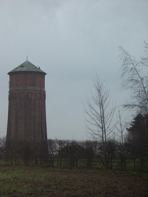
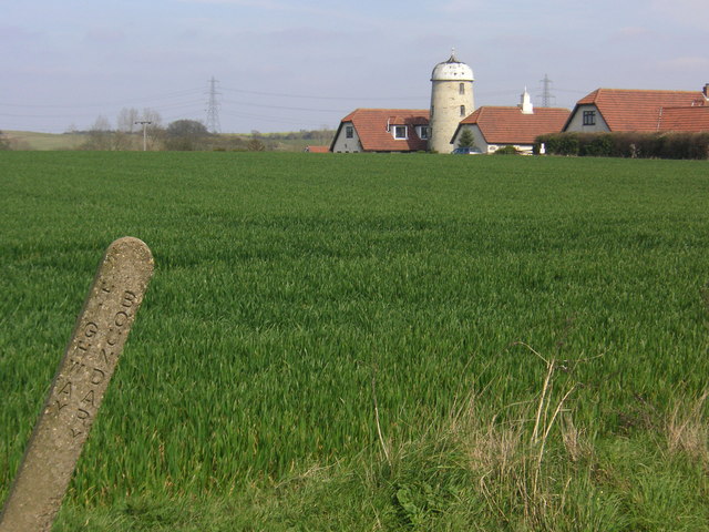
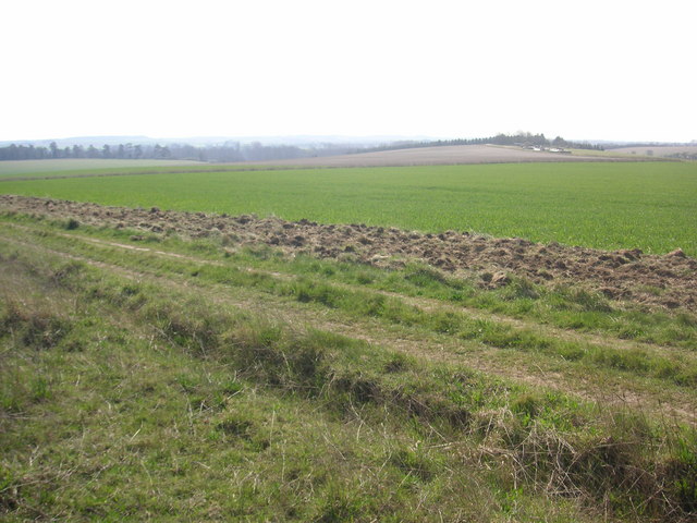
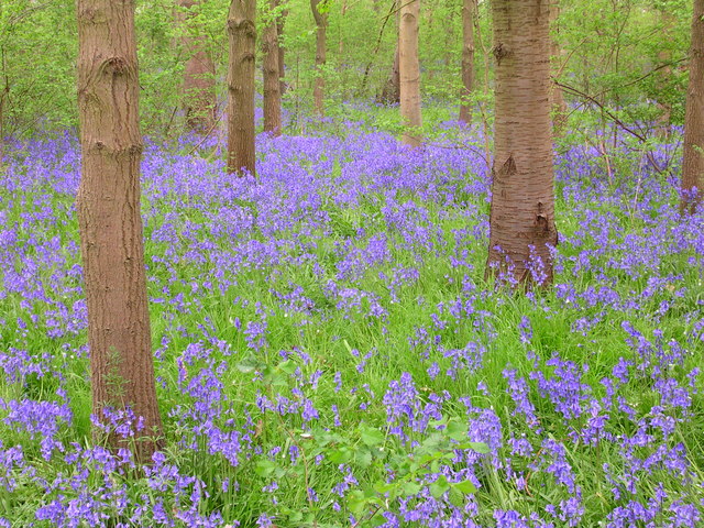
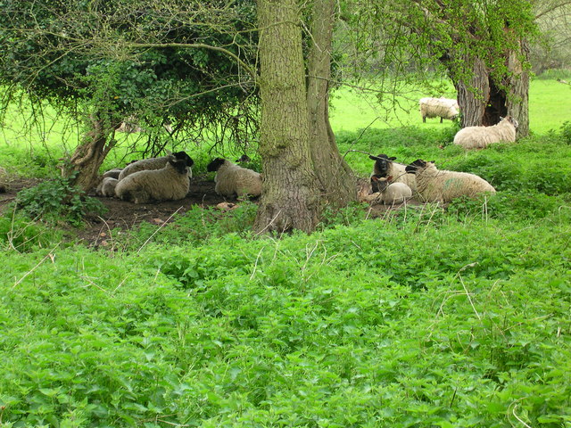
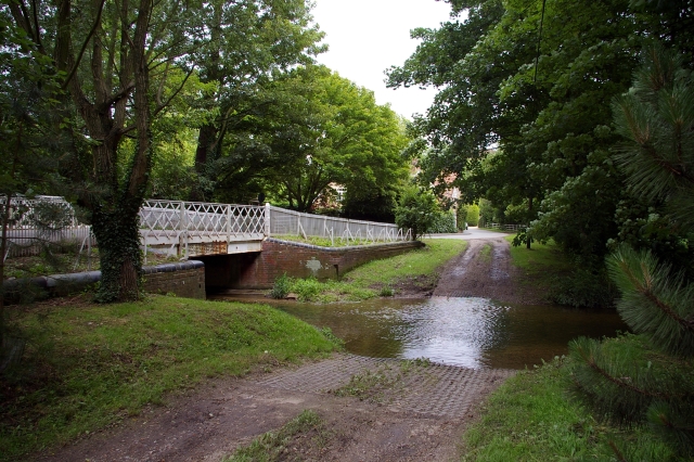
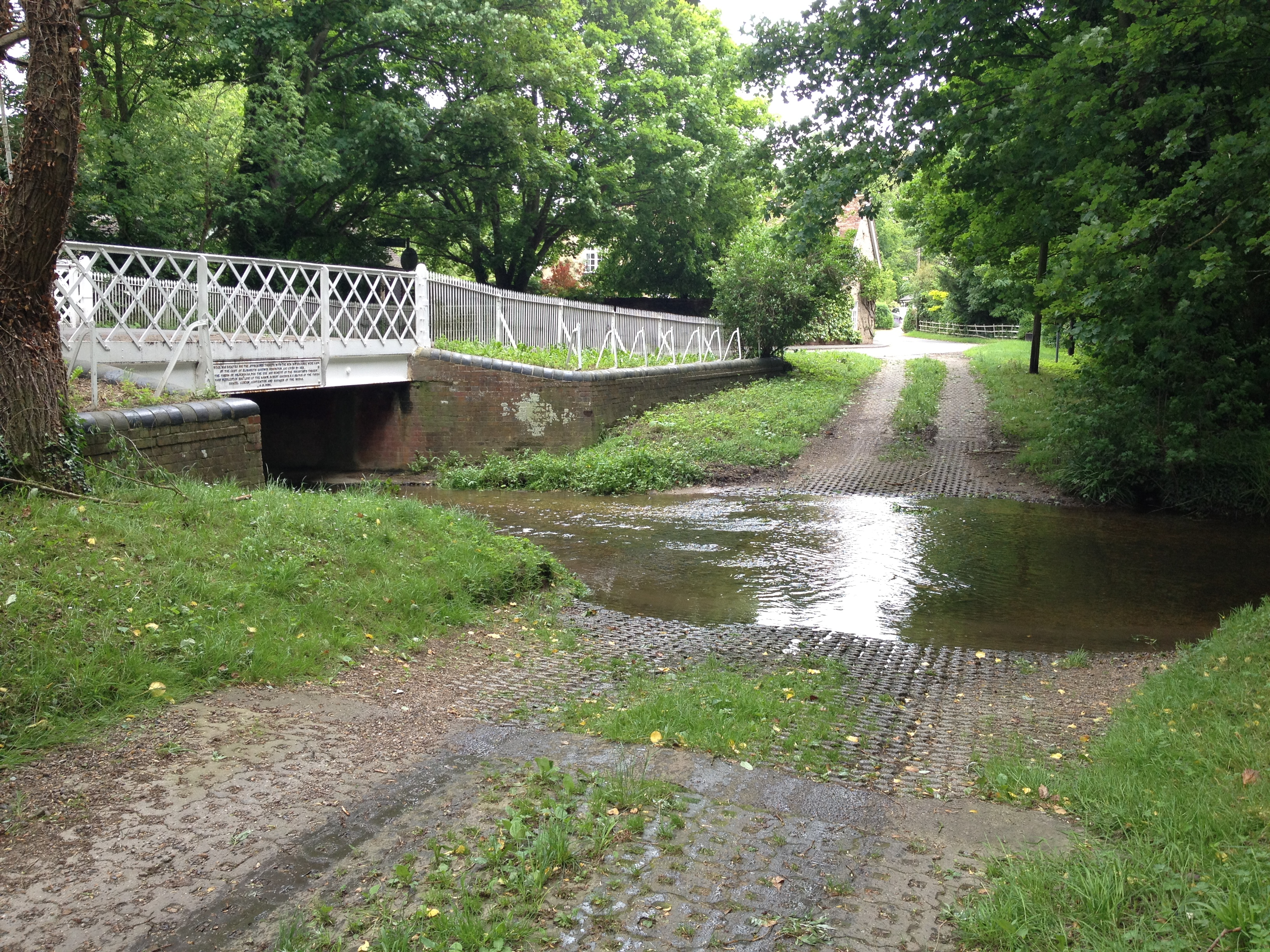
Furze Hill Images

Images are sourced within 2km of 52.115153/0.26548577 or Grid Reference TL5548. Thanks to Geograph Open Source API. All images are credited.

Chilford Hall Vineyard Entrance to the vineyard. Looking towards Linton on the Linton - Balsham road.
Chilford Hall Vineyard
Entrance to the vineyard. Looking towards Linton on the Linton - Balsham road.
Chilford Hall Vineyard The main hall can be seen in the trees. As well as a vineyard there is a crafts centre and conference centre.
Chilford Hall Vineyard
The main hall can be seen in the trees. As well as a vineyard there is a crafts centre and conference centre.
Chilford Hall The concrete extension was added by the current owners in the late 1960s.
Chilford Hall
The concrete extension was added by the current owners in the late 1960s.
Great Abington High Street A view of the three tuns pub from outside Abington school.
Great Abington High Street
A view of the three tuns pub from outside Abington school.
Hildersham Ford
Hildersham Ford
Chilford Water Tower This water tower sits on the hill above the town of Linton in Cambridgeshire.
Chilford Water Tower
This water tower sits on the hill above the town of Linton in Cambridgeshire.
Furze Hill Look but no touch!
The site holds fragments of grassland characteristic of the Breckland of East Anglia holding both acidic
and calcareous components. This is a rare example of sandy habitat in the county and represents a south-
western outlier of the Suffolk Breckland.
<span class="nowrap"><a title="http://www.english-nature.org.uk/citation/citation_photo/1001115.pdf" rel="nofollow ugc noopener" href="http://www.english-nature.org.uk/citation/citation_photo/1001115.pdf">Link</a><img style="margin-left:2px;" alt="External link" title="External link - shift click to open in new window" src="https://s1.geograph.org.uk/img/external.png" width="10" height="10"/></span>
Furze Hill
Look but no touch! The site holds fragments of grassland characteristic of the Breckland of East Anglia holding both acidic and calcareous components. This is a rare example of sandy habitat in the county and represents a south- western outlier of the Suffolk Breckland. LinkExternal link
Pretty plain . The Roman Road to Wandlebury is on the horizon. The tree to the right is on a path  shown on the historic map but unfortunately not on the 2001 map.  The path is perpendicular to the Roman Road.
Pretty plain .
The Roman Road to Wandlebury is on the horizon. The tree to the right is on a path shown on the historic map but unfortunately not on the 2001 map. The path is perpendicular to the Roman Road.
Where the road with no name crosses the Roman Rd. Behind me is the road between Hildersham and Balsham.  The Linton Water tower is on the Horizon.
Where the road with no name crosses the Roman Rd.
Behind me is the road between Hildersham and Balsham. The Linton Water tower is on the Horizon.
Little Chilford From the other direction there is no sign indicating this is a private road.
Little Chilford
From the other direction there is no sign indicating this is a private road.
Pretty plain from the north. Linton water tower on the horizon. Half lit.
Pretty plain from the north.
Linton water tower on the horizon. Half lit.
Dismantled railway
Dismantled railway
Little Abington The building bordering the image to the left is the Little Abington Pottery.
Little Abington
The building bordering the image to the left is the Little Abington Pottery.
Disused Mill Disused mill near Hildersham, viewed from A1307
Disused Mill
Disused mill near Hildersham, viewed from A1307
Bridleway between Roman Road and Hildersham Bridleway leading from Roman Road to Hildersham. On the small hill in the right half of the image you can see farm equipment supposedly belonging to the rectory farm.
Bridleway between Roman Road and Hildersham
Bridleway leading from Roman Road to Hildersham. On the small hill in the right half of the image you can see farm equipment supposedly belonging to the rectory farm.
Bluebelled to the max
Sheep dip path Go to ford and dip again
Sheep dip path
Go to ford and dip again
Hildersham Ford and Bridge, River Granta The village ford is now by-passed by a road bridge.
Hildersham Ford and Bridge, River Granta
The village ford is now by-passed by a road bridge.
Show me another place!

Furze Hill is located at Grid Ref: TL5548 (Lat: 52.115153, Lng: 0.26548577)

Administrative County: Cambridgeshire

District: South Cambridgeshire

Police Authority: Cambridgeshire

What 3 Words

///outermost.invest.prowess. Near Linton, Cambridgeshire

Nearby Locations

Furze Hill Sand Hill

Related Wikis

Furze Hill SSSI

Furze Hill is a 5.8-hectare (14-acre) biological Site of Special Scientific Interest in three nearby areas east of Hildersham in Cambridgeshire.The site...

Alder Carr, Hildersham

Alder Carr is a 6.7-hectare biological Site of Special Scientific Interest in Hildersham in Cambridgeshire.The site is a wet valley which has alder on...

Hildersham

Hildersham is a small village 8 miles to the south-east of Cambridge, England. It is situated just off the A1307 between Linton and Great Abington on a...

Rivey Hill

Rivey Hill is a hill overlooking Linton in Cambridgeshire, England (grid reference TL567480). At 367 feet (112 m) it is the highest point for several miles...

Linton Village College

Linton Village College is a secondary school in Linton, South Cambridgeshire, England. Established in 1937 as a village college, the school now has academy...

Linton, Cambridgeshire

Linton is a village and civil parish in Cambridgeshire, England, on the border with Essex. The village is approximately 8 miles (13 km) southeast from...

Caxton and Arrington Rural District

Caxton and Arrington was a rural district in Cambridgeshire, England, from 1894 to 1934. It was formed in 1894 under the Local Government Act 1894, covering...

Linton Rural District

Linton was a rural district in Cambridgeshire, England, from 1894 to 1934. It was formed in 1894 under the Local Government Act 1894, covering the area...

Nearby Amenities

Located within 500m of 52.115153,0.26548577
Furze Hill
Created By: Potlatch 0.10b
Natural: hill
Place: locality
Source: npe
Lat/Long: 52.1153597/0.2670302
Power: tower
Lat/Long: 52.1140463/0.2706133
Power: pole
Lat/Long: 52.110673/0.265442
Design: h-frame
Location Transition: yes
Material: wood
Power: pole
Lat/Long: 52.1117469/0.266409
Design: one-level
Location Transition: yes
Material: wood
Power: pole
Lat/Long: 52.1117767/0.266538
The data included in this document is from www.openstreetmap.org. The data is made available under ODbL.

Have you been to Furze Hill?

Leave your review of Furze Hill below (or comments, questions and feedback).