Kirkton of Craig

Settlement in Angus

Scotland

Kirkton of Craig

Tree Line to the Basin A line of trees marking field edges by Redmire and leading to Montrose Basin.
Tree Line to the Basin Credit: Andrew Wood

The requested URL returned error: 429 Too Many Requests

If you have any feedback on the listing, please let us know in the comments section below.

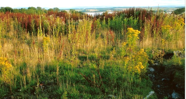
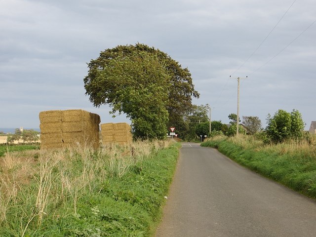
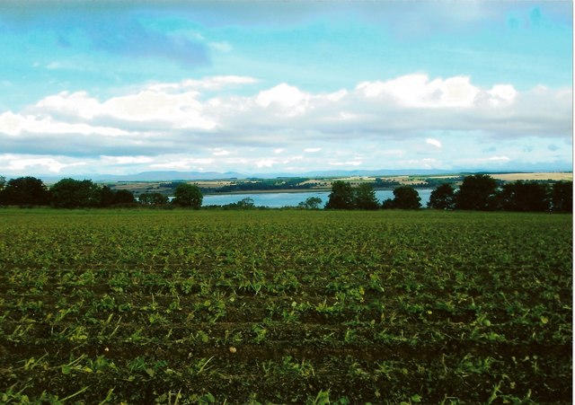
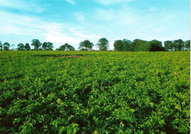
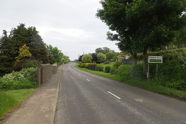
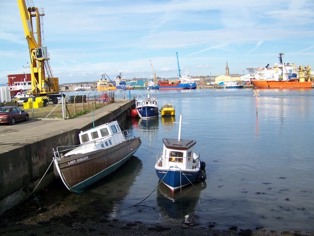
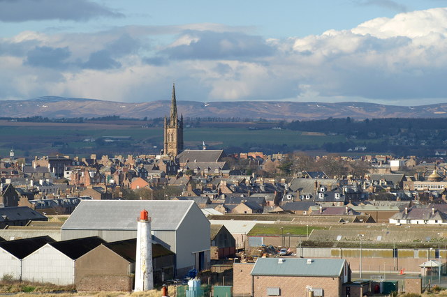
Kirkton of Craig Images

Images are sourced within 2km of 56.693676/-2.483683 or Grid Reference NO7055. Thanks to Geograph Open Source API. All images are credited.

Tree Line to the Basin A line of trees marking field edges by Redmire and leading to Montrose Basin.
Tree Line to the Basin
A line of trees marking field edges by Redmire and leading to Montrose Basin.
Trees by Dysart Trees marking field edges by East Mains of Dysart.
Trees by Dysart
Trees marking field edges by East Mains of Dysart.
Road works near Rossie Mills Road works on the A934, Montrose to Forfar Road.
Road works near Rossie Mills
Road works on the A934, Montrose to Forfar Road.
Waterfall at Rossie wood Water flowing from Rossie Castle pond plunges over volcanic rocks as a waterfall in woods at Rossie. The stream then flows into the Basin. A rainbow can be seen in the photo. This is formed by sunlight being split in the spray from water falling on rocks in the plunge pool.
(Rossie Castle was designed by Richard Crichton and occupied by Hercules and Henrietta Ross in 1800. The castle, which had become ruined, was demolished by army sappers c1957.)
Waterfall at Rossie wood
Water flowing from Rossie Castle pond plunges over volcanic rocks as a waterfall in woods at Rossie. The stream then flows into the Basin. A rainbow can be seen in the photo. This is formed by sunlight being split in the spray from water falling on rocks in the plunge pool. (Rossie Castle was designed by Richard Crichton and occupied by Hercules and Henrietta Ross in 1800. The castle, which had become ruined, was demolished by army sappers c1957.)
Rossie Castle pond This view of Rossie Castle pond is taken from the east side closest to the site of the former Rossie Castle. Rossie Castle was demolished in the 1950's. The pond is smaller in size than it was originally as it was partly filled in with agricultural waste during the 1950' and 60's. The sluice gate for the pond is in the top, far corner of the photo as viewed. The Mill House and buildings known locally as 'the kennels', both of which were close to the sluice gate, have been demolished. Water flowing through the sluice goes into a lower pond locally known as 'the dam' before flowing over two waterfalls. The stream then flows to its mouth in the Montrose Basin.
Rossie Castle pond
This view of Rossie Castle pond is taken from the east side closest to the site of the former Rossie Castle. Rossie Castle was demolished in the 1950's. The pond is smaller in size than it was originally as it was partly filled in with agricultural waste during the 1950' and 60's. The sluice gate for the pond is in the top, far corner of the photo as viewed. The Mill House and buildings known locally as 'the kennels', both of which were close to the sluice gate, have been demolished. Water flowing through the sluice goes into a lower pond locally known as 'the dam' before flowing over two waterfalls. The stream then flows to its mouth in the Montrose Basin.
Farmland towards East Mains of Dysart
Country road towards Ferryden
Raspberry field near the site of Rossie Castle, Montrose This photo shows detail of raspberry bushes growing in a field near the site of Rossie Castle. During the 1950's and 60's, the region was renowned for the quantity and quality of its raspberry production and in the late 1950's a steam train known as the "Raspberry Special" took fruit to Covent Garden in London. Much of the fruit from the Montrose area was taken by tractor load to the Chivers jam factory in Montrose. The fruit was mostly picked by local people including many women and children. The pickers were paid by the weight of fruit they produced. Rev W. M. Diack, M.A., the minister of Craig and Maryton parishes during the 1950's and 60's, often worked with his parishioners to harvest the fruit at that time. After the main commercial crop had been picked, gleaning was permitted. Although the main land use in Craig and Maryton at the present time is still agricultural, changes in the choice of crop or type of livestock to be farmed have resulted in greatly reduced quantities of raspberries and other soft fruits being grown.
Raspberry field near the site of Rossie Castle, Montrose
This photo shows detail of raspberry bushes growing in a field near the site of Rossie Castle. During the 1950's and 60's, the region was renowned for the quantity and quality of its raspberry production and in the late 1950's a steam train known as the "Raspberry Special" took fruit to Covent Garden in London. Much of the fruit from the Montrose area was taken by tractor load to the Chivers jam factory in Montrose. The fruit was mostly picked by local people including many women and children. The pickers were paid by the weight of fruit they produced. Rev W. M. Diack, M.A., the minister of Craig and Maryton parishes during the 1950's and 60's, often worked with his parishioners to harvest the fruit at that time. After the main commercial crop had been picked, gleaning was permitted. Although the main land use in Craig and Maryton at the present time is still agricultural, changes in the choice of crop or type of livestock to be farmed have resulted in greatly reduced quantities of raspberries and other soft fruits being grown.
Site of Rossie Castle, parish of Craig, Montrose The foreground of this photo shows the site of the former Rossie Castle near Montrose in Angus. The castle was built for Hercules and Henrietta Ross ; they took possession in 1800. The surrounding grounds had an American garden, ornamental trees, rhododendron bushes, a trout lake and a dovecot dating back to 1695.
The last day of the castle came when George Ogilvie, the landowning farmer, set off a detonation at 3.00 pm on Sunday 29th September 1957. The blast reduced the once magnificent three storey, 150 foot long building to 20,000 tons of stone and rubble.
With the consent of Mr Oglivie, who was an elder of Craig Parish Church, Rev William M Diack, M.A., used a little of the stone for paving at the nearby Manse of Craig. Most of the stone was used for widening the road between Montrose and Arbroath.
Site of Rossie Castle, parish of Craig, Montrose
The foreground of this photo shows the site of the former Rossie Castle near Montrose in Angus. The castle was built for Hercules and Henrietta Ross ; they took possession in 1800. The surrounding grounds had an American garden, ornamental trees, rhododendron bushes, a trout lake and a dovecot dating back to 1695. The last day of the castle came when George Ogilvie, the landowning farmer, set off a detonation at 3.00 pm on Sunday 29th September 1957. The blast reduced the once magnificent three storey, 150 foot long building to 20,000 tons of stone and rubble. With the consent of Mr Oglivie, who was an elder of Craig Parish Church, Rev William M Diack, M.A., used a little of the stone for paving at the nearby Manse of Craig. Most of the stone was used for widening the road between Montrose and Arbroath.
Row of trees, Dysart The row extends northwards on the other side of the road too.
Row of trees, Dysart
The row extends northwards on the other side of the road too.
Row of trees, Dysart Barley stubble above Montrose Basin.
Row of trees, Dysart
Barley stubble above Montrose Basin.
Carrots A field near Dysart.
Carrots
A field near Dysart.
The road from Rossie Passing some bales and a field of carrots.
The road from Rossie
Passing some bales and a field of carrots.
A92, Dysart A crossroads on the long straight minor road from Rossie.
A92, Dysart
A crossroads on the long straight minor road from Rossie.
Potato field, Dysart The crop has been defoliated prior to lifting.
Potato field, Dysart
The crop has been defoliated prior to lifting.
Rossie Braes crop field Up to the late 1960's the fields along the Rossie Braes, such as the one in the photo, were typically used for growing raspberries. Since that time, the crops grown here have been more varied.
Rossie Braes crop field
Up to the late 1960's the fields along the Rossie Braes, such as the one in the photo, were typically used for growing raspberries. Since that time, the crops grown here have been more varied.
Potatoes growing in a field at Rossie This photo shows potatoes growing in a field at Rossie. The farmland surrounding Montrose has long been famous for growing potatoes.
Potatoes growing in a field at Rossie
This photo shows potatoes growing in a field at Rossie. The farmland surrounding Montrose has long been famous for growing potatoes.
A934. Rossie Mills Approaching Montrose.
A934. Rossie Mills
Approaching Montrose.
Show me another place!

Kirkton of Craig is located at Grid Ref: NO7055 (Lat: 56.693676, Lng: -2.483683)

Unitary Authority: Angus

Police Authority: Tayside

What 3 Words

///hence.camper.earlobe. Near Montrose, Angus

Nearby Locations

Kirkton of Craig

Related Wikis

Ferryden

Ferryden is a village in Angus, Scotland in the community council area of Ferryden & Craig. It lies southerly adjacent to the town of Montrose on the south...

Montrose Royal Infirmary

Montrose Royal Infirmary was a health facility in Bridge Street, Montrose, Angus, Scotland. It was managed by NHS Tayside. It is a Category A listed building...

Montrose Castle

Montrose Castle was a 12th-century castle built in Montrose, Angus, Scotland. Montrose was created a royal burgh by King David I of Scotland in the 12th...

Montrose, Angus

Montrose ( mon-TROHZ; Scottish Gaelic: Mon Rois [mɔn ˈrˠɔʃ]) is a town and former royal burgh in Angus, Scotland. Situated 28 miles (45 kilometres) north...

Nearby Amenities

Located within 500m of 56.693676,-2.483683
Bus Stop
Crossroads
Local Ref: AT
Naptan AtcoCode: 6490IM038
Naptan Bearing: N
Naptan BusStopType: CUS
Naptan CommonName: Crossroads
Naptan Indicator: at
Naptan Landmark: Barns of Craig
Naptan NaptanCode: 26423673
Naptan Street: Craig Road
Naptan Verified: no
Source: naptan_import
Lat/Long: 56.6943274/-2.4804812
Balgove
Name Gd: Baile Gobha
Place: hamlet
Lat/Long: 56.694871/-2.4915218
Kirkton of Craig
Place: village
Lat/Long: 56.6928778/-2.4846546
Barns of Craig
Place: hamlet
Lat/Long: 56.6943005/-2.4780307
Power: pole
Lat/Long: 56.6895641/-2.4862842
Power: pole
Lat/Long: 56.6901682/-2.4856173
Power: pole
Lat/Long: 56.6907093/-2.4850304
Power: pole
Lat/Long: 56.6912492/-2.4844349
Power: pole
Lat/Long: 56.6917653/-2.4838848
Power: pole
Lat/Long: 56.69231/-2.4833045
Power: pole
Lat/Long: 56.6930033/-2.4834128
Power: pole
Lat/Long: 56.6937203/-2.4835189
Power: pole
Lat/Long: 56.6943969/-2.4830901
Power: pole
Lat/Long: 56.6949118/-2.4827479
Power: pole
Lat/Long: 56.6954124/-2.4824426
Power: pole
Lat/Long: 56.6959046/-2.4821221
Power: pole
Lat/Long: 56.6966026/-2.4816717
Power: pole
Lat/Long: 56.6973136/-2.4812191
Power: pole
Lat/Long: 56.6946859/-2.4840429
Power: pole
Lat/Long: 56.6950997/-2.4851517
Power: pole
Lat/Long: 56.6954017/-2.4859421
Power: pole
Lat/Long: 56.6958083/-2.487053
Power: pole
Lat/Long: 56.6963791/-2.4876507
Power: pole
Lat/Long: 56.6963672/-2.4827046
Power: pole
Lat/Long: 56.6968713/-2.4833543
Power: pole
Lat/Long: 56.6974742/-2.4839606
Power: pole
Lat/Long: 56.6980472/-2.484476
Power: pole
Lat/Long: 56.6960545/-2.4809571
Power: pole
Lat/Long: 56.6961805/-2.4799631
Power: pole
Lat/Long: 56.6963149/-2.4789236
Power: pole
Lat/Long: 56.6960081/-2.4779297
Power: pole
Lat/Long: 56.6957001/-2.4769011
Power: pole
Lat/Long: 56.694605/-2.4785837
Power: pole
Lat/Long: 56.6947215/-2.4781636
Power: pole
Lat/Long: 56.6953505/-2.4780444
Power: pole
Lat/Long: 56.6954962/-2.4905416
Power: pole
Lat/Long: 56.6956115/-2.4892596
Power: pole
Lat/Long: 56.6957162/-2.4881531
The data included in this document is from www.openstreetmap.org. The data is made available under ODbL.

Have you been to Kirkton of Craig?

Leave your review of Kirkton of Craig below (or comments, questions and feedback).