Copley Hill

Hill, Mountain in Cambridgeshire South Cambridgeshire

England

Copley Hill

Fields on the edge of Wandlebury Country Park Beautiful open countryside just a couple of miles to the south east of Cambridge.
Fields on the edge of Wandlebury Country Park Credit: Peter S

Copley Hill is a prominent geographical feature located in the county of Cambridgeshire, England. While it is referred to as a hill, it does not possess the height typically associated with a mountain or even a significant elevation. Rather, Copley Hill stands at a modest height, offering picturesque views of the surrounding countryside.

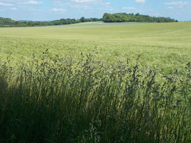
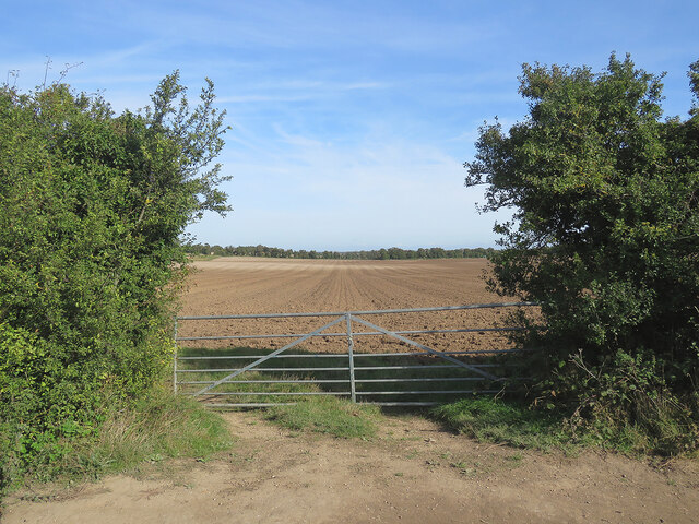
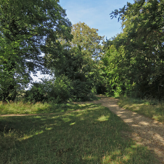
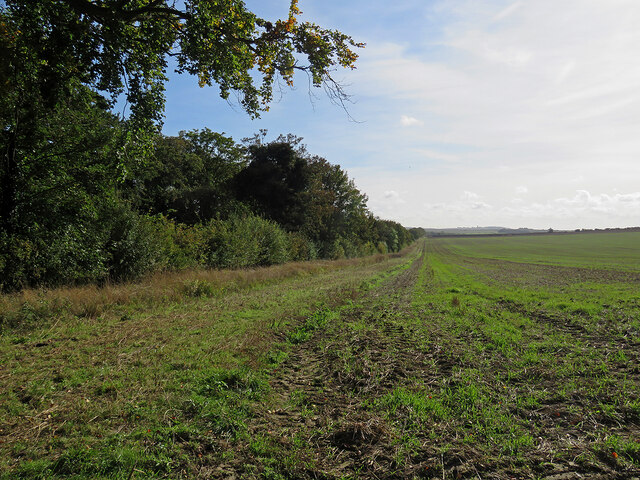
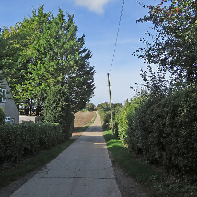
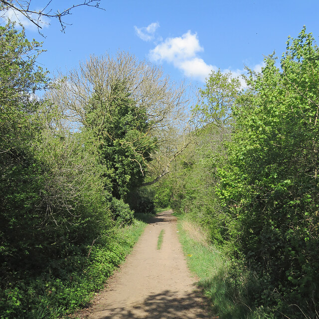
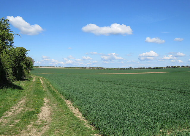
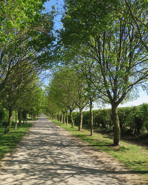
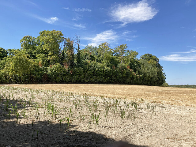
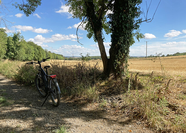
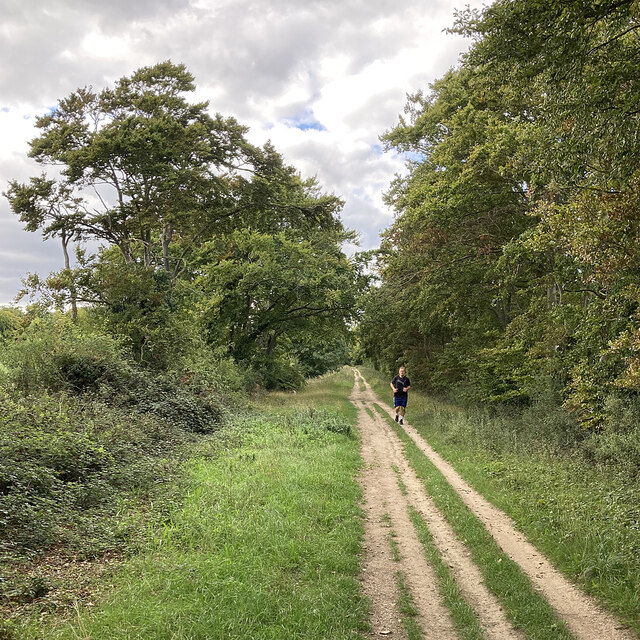
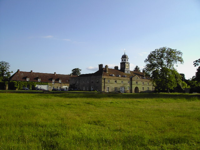
Situated near the village of Babraham, Copley Hill is characterized by its gently sloping terrain and is primarily covered with lush greenery, including grasses and woodland. The hill's terrain is conducive to various outdoor activities, such as hiking, walking, and picnicking, attracting visitors and locals alike.

Its strategic location on the outskirts of Cambridge makes Copley Hill an accessible escape from the bustling city. The tranquil ambiance and panoramic vistas make it an ideal spot for nature enthusiasts seeking a peaceful retreat or photographers aiming to capture the beauty of the Cambridgeshire countryside.

Copley Hill is also known for its historical significance. It is believed to have been an Iron Age hillfort, with remnants of earthworks and ditches still visible today. These archaeological features serve as a reminder of the area's ancient past and attract those interested in delving into the region's history.

Overall, Copley Hill offers a blend of natural beauty, recreational opportunities, and historical intrigue. Its gentle slopes, stunning views, and varied flora make it a notable destination for those seeking a tranquil escape or a closer connection with Cambridgeshire's rich heritage.

If you have any feedback on the listing, please let us know in the comments section below.
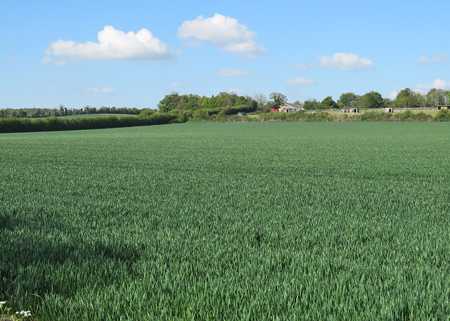
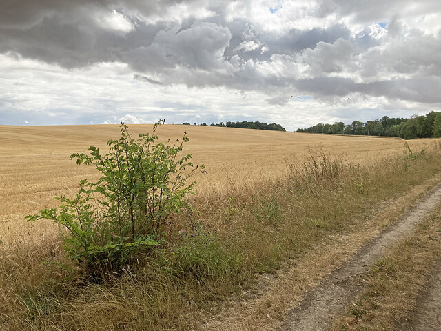
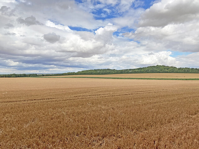
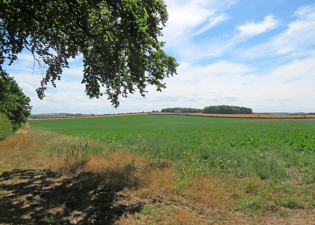
Copley Hill Images

Images are sourced within 2km of 52.15558/0.20531742 or Grid Reference TL5053. Thanks to Geograph Open Source API. All images are credited.

Fields on the edge of Wandlebury Country Park Beautiful open countryside just a couple of miles to the south east of Cambridge.
Fields on the edge of Wandlebury Country Park
Beautiful open countryside just a couple of miles to the south east of Cambridge.
Autumn cultivation on The Gogs Looking north-east through a gateway on The Roman Road. <a href="https://www.geograph.org.uk/photo/4209983">TL5053 : Field gate on The Roman Road</a> and <a href="https://www.geograph.org.uk/photo/6904416">TL5053 : Harvest time on The Gogs</a> are two of several pictures of the view uphill in the opposite direction.
Autumn cultivation on The Gogs
Looking north-east through a gateway on The Roman Road. TL5053 : Field gate on The Roman Road and TL5053 : Harvest time on The Gogs are two of several pictures of the view uphill in the opposite direction.
Early autumn on The Roman Road At the junction with Mile Road (left) on a bright October morning.
Early autumn on The Roman Road
At the junction with Mile Road (left) on a bright October morning.
Trees lining The Roman Road The Roman Road runs south-east from the Gog Magog Hills on the edge of Cambridge into the hills of East Cambridgeshire, petering out near Horseheath. This picture was taken from a field edge on a bright October morning.
Trees lining The Roman Road
The Roman Road runs south-east from the Gog Magog Hills on the edge of Cambridge into the hills of East Cambridgeshire, petering out near Horseheath. This picture was taken from a field edge on a bright October morning.
The road to Rectory Farm Sunlight and shadows on a fine October morning. The farmhouse is between Limepit Hill and Mag's Hill, two of the Gog Magog Hills south-east of Cambridge. The picture was taken from Babraham Road, which serves a number of farms and businesses south of Fulbourn but does not reach Babraham.
The road to Rectory Farm
Sunlight and shadows on a fine October morning. The farmhouse is between Limepit Hill and Mag's Hill, two of the Gog Magog Hills south-east of Cambridge. The picture was taken from Babraham Road, which serves a number of farms and businesses south of Fulbourn but does not reach Babraham.
A spring morning on The Roman Road Bright and warm, with a lot of vivid greens.
A spring morning on The Roman Road
Bright and warm, with a lot of vivid greens.
Wheatfields on The Gogs Taken from just inside a gateway on The Roman Road on a fine morning in late April. Hill Farm is on the skyline in the centre, getting on for a mile away.
Wheatfields on The Gogs
Taken from just inside a gateway on The Roman Road on a fine morning in late April. Hill Farm is on the skyline in the centre, getting on for a mile away.
On Babraham Road in spring Looking towards Fulbourn on a fine morning in late April. This road serves farms and businesses near Fulbourn, but does not reach Babraham - beyond Lodge Farm (some way behind the camera) it becomes a footpath and joins The Roman Road.
On Babraham Road in spring
Looking towards Fulbourn on a fine morning in late April. This road serves farms and businesses near Fulbourn, but does not reach Babraham - beyond Lodge Farm (some way behind the camera) it becomes a footpath and joins The Roman Road.
Over a wheatfield to Rectory Farm The picture was taken from a gap in the Babraham Road hedge near Grange Farm on a fine morning in late April. These are some of the lower slopes of the north side of the Gog Magog Hills.
Over a wheatfield to Rectory Farm
The picture was taken from a gap in the Babraham Road hedge near Grange Farm on a fine morning in late April. These are some of the lower slopes of the north side of the Gog Magog Hills.
Big field and big sky Looking north-west across a wheatfield from a gap in the Babraham Road hedge near Grange Farm on a bright spring morning. Fulbourn Windmill and houses on Shelford Road show on the skyline to the right of centre.
Big field and big sky
Looking north-west across a wheatfield from a gap in the Babraham Road hedge near Grange Farm on a bright spring morning. Fulbourn Windmill and houses on Shelford Road show on the skyline to the right of centre.
Stubble on the Gogs Looking uphill towards Fox's Burrow Plantation from the track which runs from The Roman Road to the A1307.
Stubble on the Gogs
Looking uphill towards Fox's Burrow Plantation from the track which runs from The Roman Road to the A1307.
Stubble and big sky Harvest time in South Cambridgeshire, seen from a gap in the trees lining The Roman Road. The plantations at Lodge Farm are on the skyline.
Stubble and big sky
Harvest time in South Cambridgeshire, seen from a gap in the trees lining The Roman Road. The plantations at Lodge Farm are on the skyline.
Towards Signal Hill and Meggs Hill The skyline plantations are on Signal Hill (left) and Meggs Hill, two of the gentle Gog Magog Hills south-east of Cambridge. The picture was taken from a field corner at the junction of The Roman Road (which the trees on the extreme left line) and Mile Road.
Towards Signal Hill and Meggs Hill
The skyline plantations are on Signal Hill (left) and Meggs Hill, two of the gentle Gog Magog Hills south-east of Cambridge. The picture was taken from a field corner at the junction of The Roman Road (which the trees on the extreme left line) and Mile Road.
Copley Hill in a dry summer Mid August in the drought summer of 2022 - and some of the leaves in the plantation on Copley Hill are turning while the rest have lost their high summer richness.
Copley Hill in a dry summer
Mid August in the drought summer of 2022 - and some of the leaves in the plantation on Copley Hill are turning while the rest have lost their high summer richness.
Stubble on The Gogs An August view from the bridle track from the A1307 to The Roman Road (ahead), skirting Wandlebury Country Park.
Stubble on The Gogs
An August view from the bridle track from the A1307 to The Roman Road (ahead), skirting Wandlebury Country Park.
Towards Cambridge on The Roman Road Near Worsted Lodge on a fine Sunday morning in late August. In the drought summer of 2022 grass is parched and the path dry and hard. The plantations on the skyline are at Signal Hill and Meggs Hill, two of the gentle Gog Magog Hills south-east of Cambridge.
Towards Cambridge on The Roman Road
Near Worsted Lodge on a fine Sunday morning in late August. In the drought summer of 2022 grass is parched and the path dry and hard. The plantations on the skyline are at Signal Hill and Meggs Hill, two of the gentle Gog Magog Hills south-east of Cambridge.
Café sign on the edge of Wandlebury Country Park
A runner on The Roman Road Near Copley Hill on a mid-September afternoon - one of high cloud and some lengthy sunny spells.
A runner on The Roman Road
Near Copley Hill on a mid-September afternoon - one of high cloud and some lengthy sunny spells.
Show me another place!

Copley Hill is located at Grid Ref: TL5053 (Lat: 52.15558, Lng: 0.20531742)

Administrative County: Cambridgeshire

District: South Cambridgeshire

Police Authority: Cambridgeshire

What 3 Words

///surprised.variances.piston. Near Fulbourn, Cambridgeshire

Nearby Locations

Copley Hill

Related Wikis

Wandlebury Hill Fort

Wandlebury Hill Fort, also known as the Wandlebury Ring, is an Iron Age hillfort located on Wandlebury Hill in the Gog Magog Hills, Cambridgeshire, England...

Wandlebury Hill

Wandlebury Hill (grid reference TL493534) is a peak in the Gog Magog Hills, a ridge of low chalk hills extending for several miles to the southeast of...

Gog Magog Golf Club

Gog Magog Golf Club is a golf club, located in Shelford Bottom, Cambridgeshire, England. It is located about 4 miles south of Cambridge. == History... ==

Roman Road, Cambridgeshire

The Roman Road in Cambridgeshire, also known as Worsted Street Roman Road, is a 12.4-hectare (31-acre) linear biological Site of Special Scientific Interest...

Gog Magog Hills

The Gog Magog Hills are a range of low chalk hills, extending for several miles to the southeast of Cambridge in England. The highest points are situated...

Little Trees Hill

Little Trees Hill is one of the highest points of the Gog Magog Hills, a ridge of low chalk hills extending for several miles to the south-east of Cambridge...

Gog Magog Golf Course

Gog Magog Golf Course is an 88.4-hectare (218-acre) biological Site of Special Scientific Interest on Gog Magog Golf Club south-east of Cambridge in Cambridgeshire...
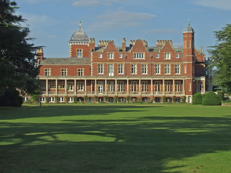
Babraham Institute

The Babraham Institute is a life sciences research institution and a partner organisation of the University of Cambridge. The Babraham Institute is based...

Nearby Amenities

Located within 500m of 52.15558,0.20531742
Copley Hill
Created By: Potlatch 0.10b
Natural: hill
Place: locality
Source: npe
Lat/Long: 52.1553442/0.2057422
The data included in this document is from www.openstreetmap.org. The data is made available under ODbL.

Have you been to Copley Hill?

Leave your review of Copley Hill below (or comments, questions and feedback).