Kirkton
Settlement in Roxburghshire
Scotland
Kirkton
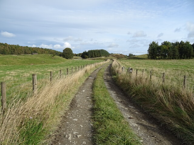
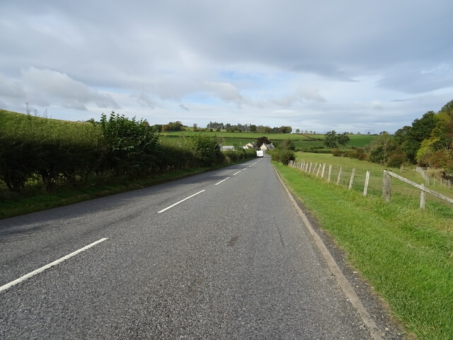
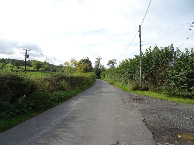
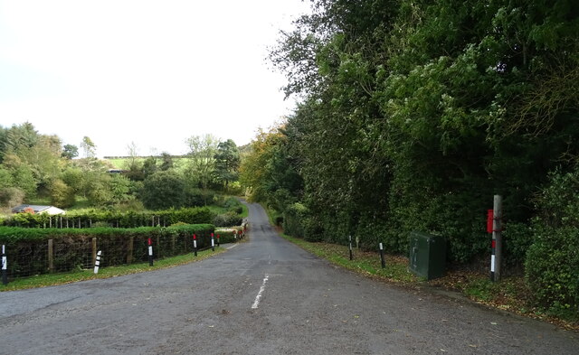
Kirkton is a small village located in the historical county of Roxburghshire, in the southern part of Scotland. Situated in the scenic Scottish Borders region, Kirkton is nestled amidst rolling hills and picturesque landscapes. It is about 4 miles southwest of the town of Hawick and is surrounded by lush farmland.
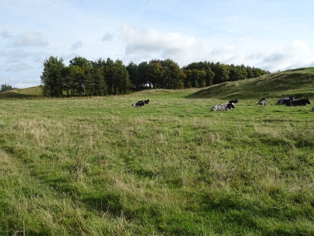
The village itself is characterized by its charming rural setting and a close-knit community. Kirkton is home to a relatively small population, with a majority of residents engaged in agricultural activities or working in nearby towns. The village's economy primarily relies on farming, with livestock rearing and crop cultivation being the main agricultural practices.
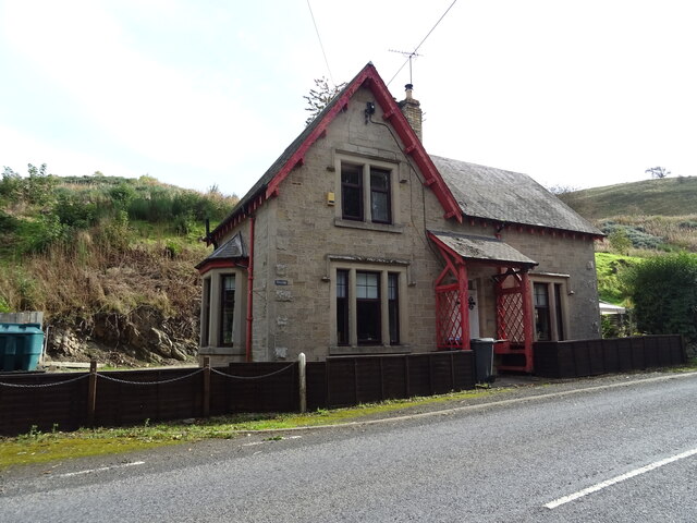
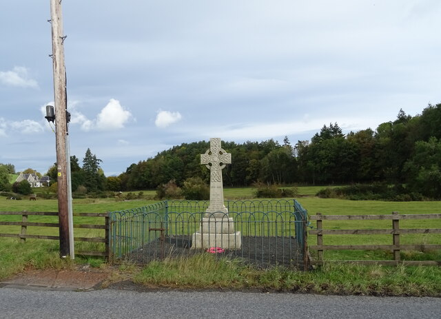
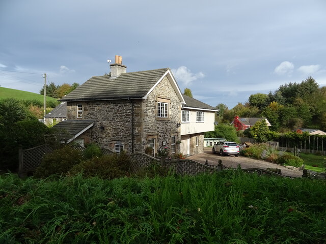
Kirkton features several traditional stone-built houses, giving it a quaint and timeless feel. The village also boasts a beautiful parish church, which serves as a focal point for the community. The church, with its striking architecture and historical significance, adds to the village's cultural heritage.
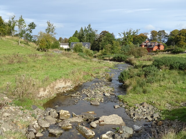
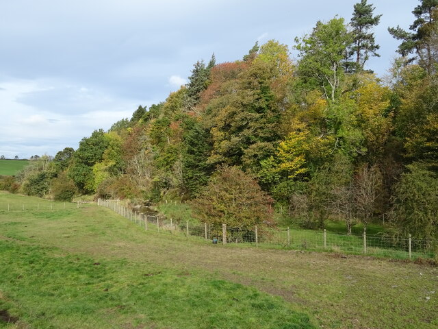
For outdoor enthusiasts, Kirkton offers ample opportunities to explore the surrounding countryside. The nearby hills and valleys provide numerous walking and hiking trails, allowing visitors to immerse themselves in the natural beauty of the area. The village is also within easy reach of the River Teviot, which offers fishing enthusiasts a chance to indulge in their favorite pastime.
In terms of amenities, Kirkton has a limited range of facilities. There is a small community hall that serves as a gathering place for local events and activities. However, for more extensive amenities such as shops, schools, and healthcare services, residents typically rely on nearby towns like Hawick.
Overall, Kirkton is a tranquil and idyllic village that offers a peaceful retreat for those seeking a rural lifestyle in the heart of the Scottish Borders.
If you have any feedback on the listing, please let us know in the comments section below.
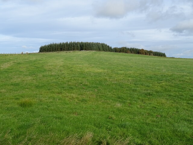
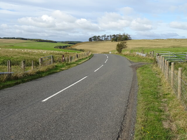
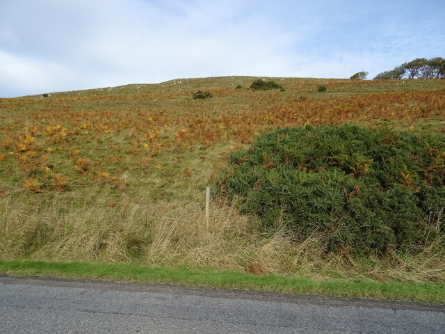
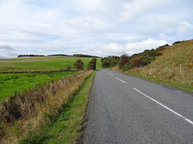
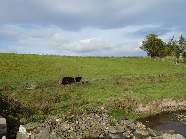
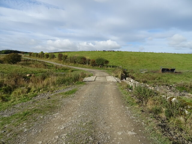
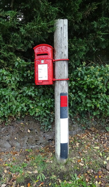
Kirkton Images
Images are sourced within 2km of 55.419895/-2.7184075 or Grid Reference NT5414. Thanks to Geograph Open Source API. All images are credited.
Kirkton is located at Grid Ref: NT5414 (Lat: 55.419895, Lng: -2.7184075)
Unitary Authority: The Scottish Borders
Police Authority: The Lothians and Scottish Borders
What 3 Words
///infants.purified.onions. Near Hawick, Scottish Borders
Nearby Locations
Related Wikis

Kirkton, Scottish Borders
Kirkton is a village in the Scottish Borders area of Scotland, off the A6088, near Hawick. Grid Ref. NT5413. It is a former parish, amalgamated into the...

Cavers Castle
Cavers Castle, also known as Cavers House, is a ruined tower house located at Cavers, Scottish Borders, Scotland. Cavers Castle was a much extended tower...

Cavers, Scottish Borders
Cavers is a parish in the Scottish Borders area of Scotland, in the former county of Roxburghshire, south and east of Hawick. The largest village in the...

Mansfield Park, Hawick
Mansfield Park is a rugby union ground in Hawick, Scotland, with a capacity of approximately 5,000. It is the home of Hawick Rugby Football Club, who currently...
Nearby Amenities
Located within 500m of 55.419895,-2.7184075Have you been to Kirkton?
Leave your review of Kirkton below (or comments, questions and feedback).