Burnt Hill
Hill, Mountain in Cambridgeshire East Cambridgeshire
England
Burnt Hill
Burnt Hill is a prominent hill located in the county of Cambridgeshire, England. It is situated near the village of Woodditton, approximately 12 miles east of the city of Cambridge. Despite its name, Burnt Hill does not have any historical records of being set on fire. The name is believed to have originated from the Old English word "burna," meaning stream or spring, which suggests the presence of water sources in the area.
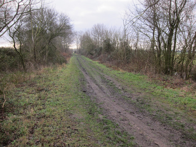
Rising to an elevation of around 85 meters (279 feet), Burnt Hill offers stunning panoramic views of the surrounding Cambridgeshire countryside. Its gentle slopes and grassy terrain make it a popular destination for hikers, nature enthusiasts, and locals seeking outdoor recreational activities. The hill is part of an extensive network of footpaths and bridleways, providing ample opportunities for exploring the nearby woodlands and meadows.
The area surrounding Burnt Hill is rich in natural beauty, with diverse flora and fauna. It is home to a variety of bird species, including skylarks, kestrels, and barn owls. Wildflowers such as bluebells and primroses adorn the hillside during the spring months, creating a picturesque sight.
Historically, Burnt Hill has been an important landmark in the region, serving as a navigational reference point for travelers. It has also been the site of archaeological excavations, uncovering evidence of human activity dating back thousands of years. These discoveries include Iron Age pottery shards and Roman coins, adding to the hill's historical significance.
Overall, Burnt Hill in Cambridgeshire offers both natural beauty and historical intrigue, making it a captivating destination for visitors and locals alike.
If you have any feedback on the listing, please let us know in the comments section below.
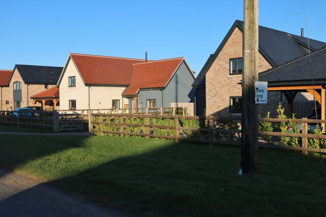
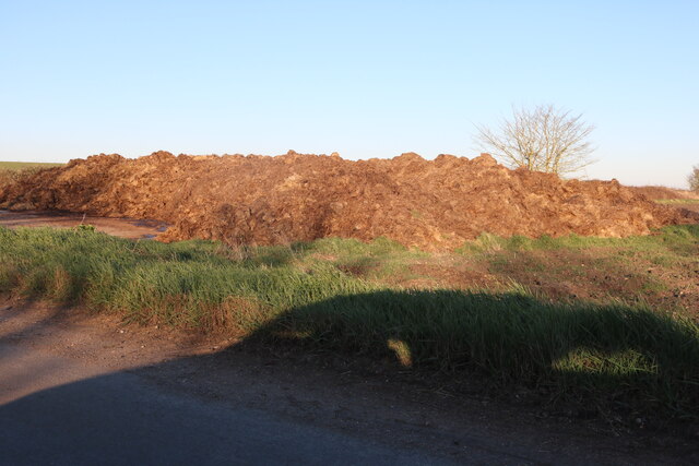
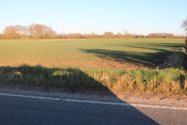
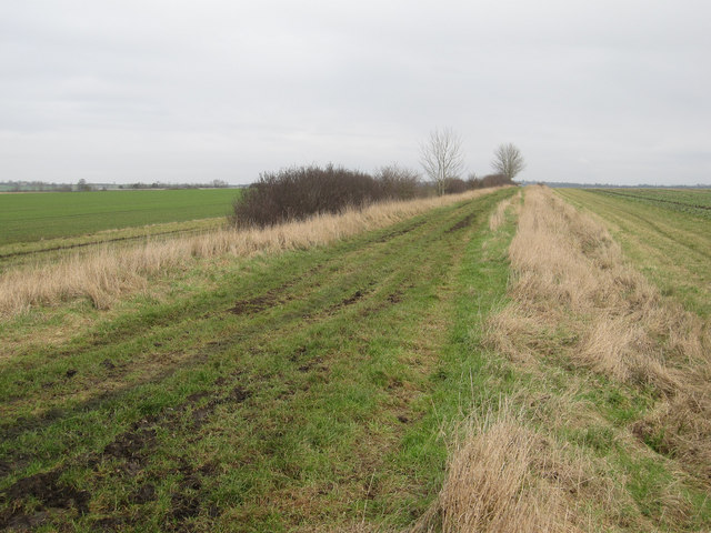
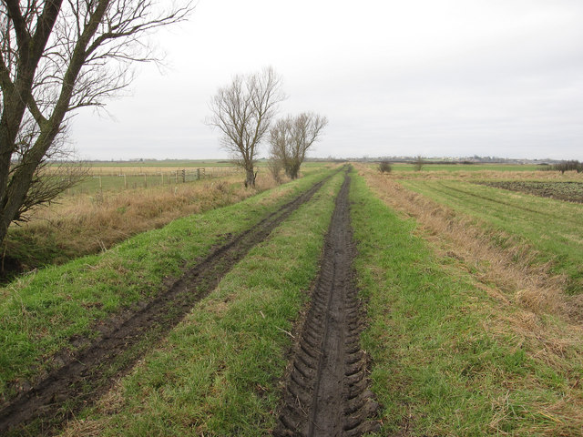
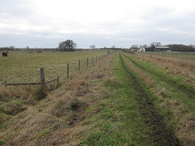
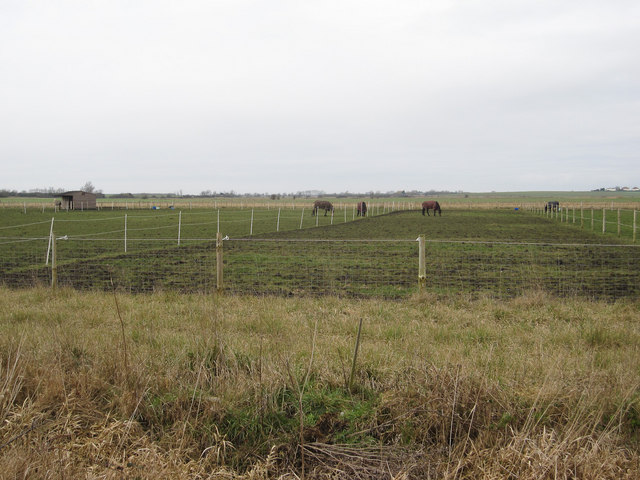
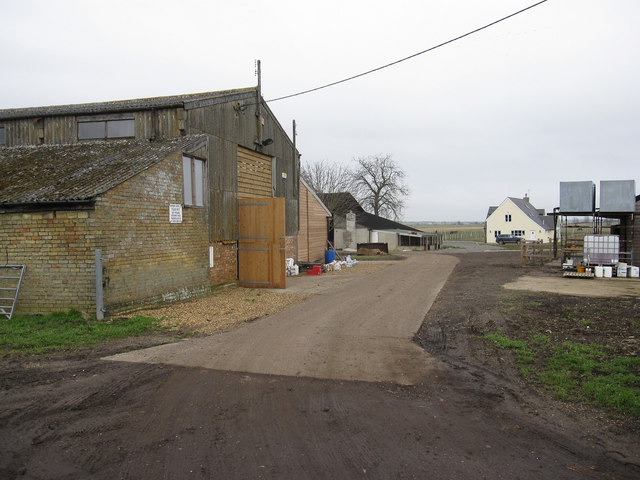
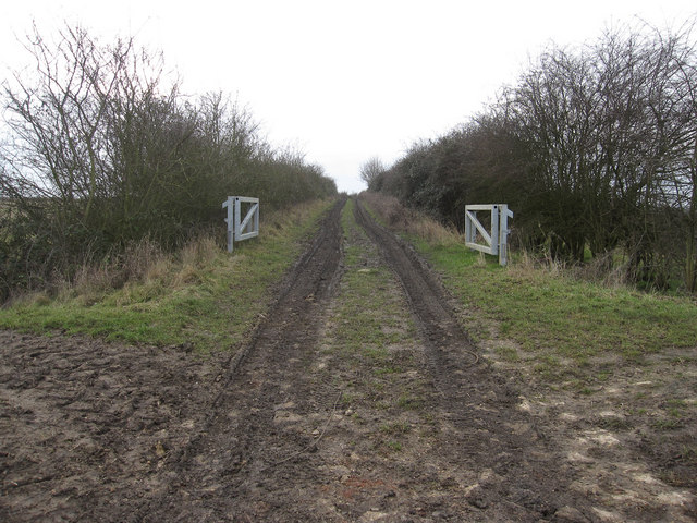
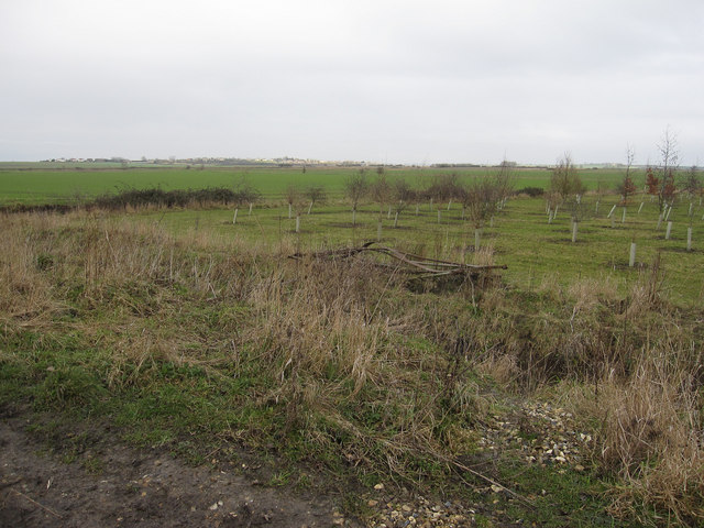
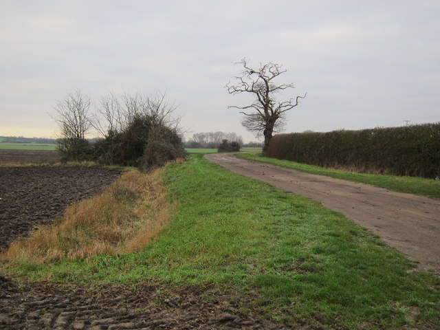
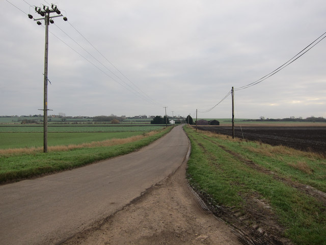
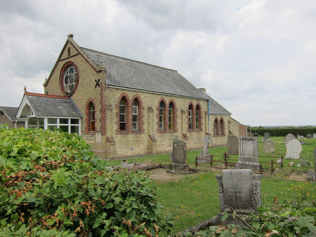
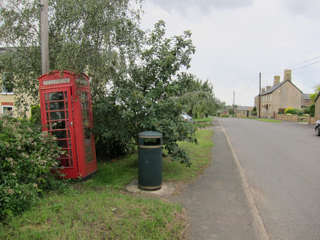
Burnt Hill Images
Images are sourced within 2km of 52.399446/0.1779458 or Grid Reference TL4880. Thanks to Geograph Open Source API. All images are credited.


Burnt Hill is located at Grid Ref: TL4880 (Lat: 52.399446, Lng: 0.1779458)
Division: Isle of Ely
Administrative County: Cambridgeshire
District: East Cambridgeshire
Police Authority: Cambridgeshire
What 3 Words
///blunders.boomed.clap. Near Witchford, Cambridgeshire
Nearby Locations
Related Wikis
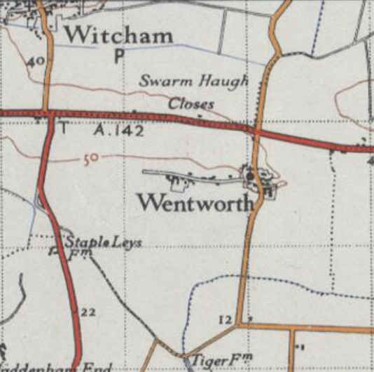
Wentworth, Cambridgeshire
Wentworth is a small village near Ely in Cambridgeshire, England. It is in the Isle of Ely, adjacent to Grunty Fen, Wentworth lies south of the A142...

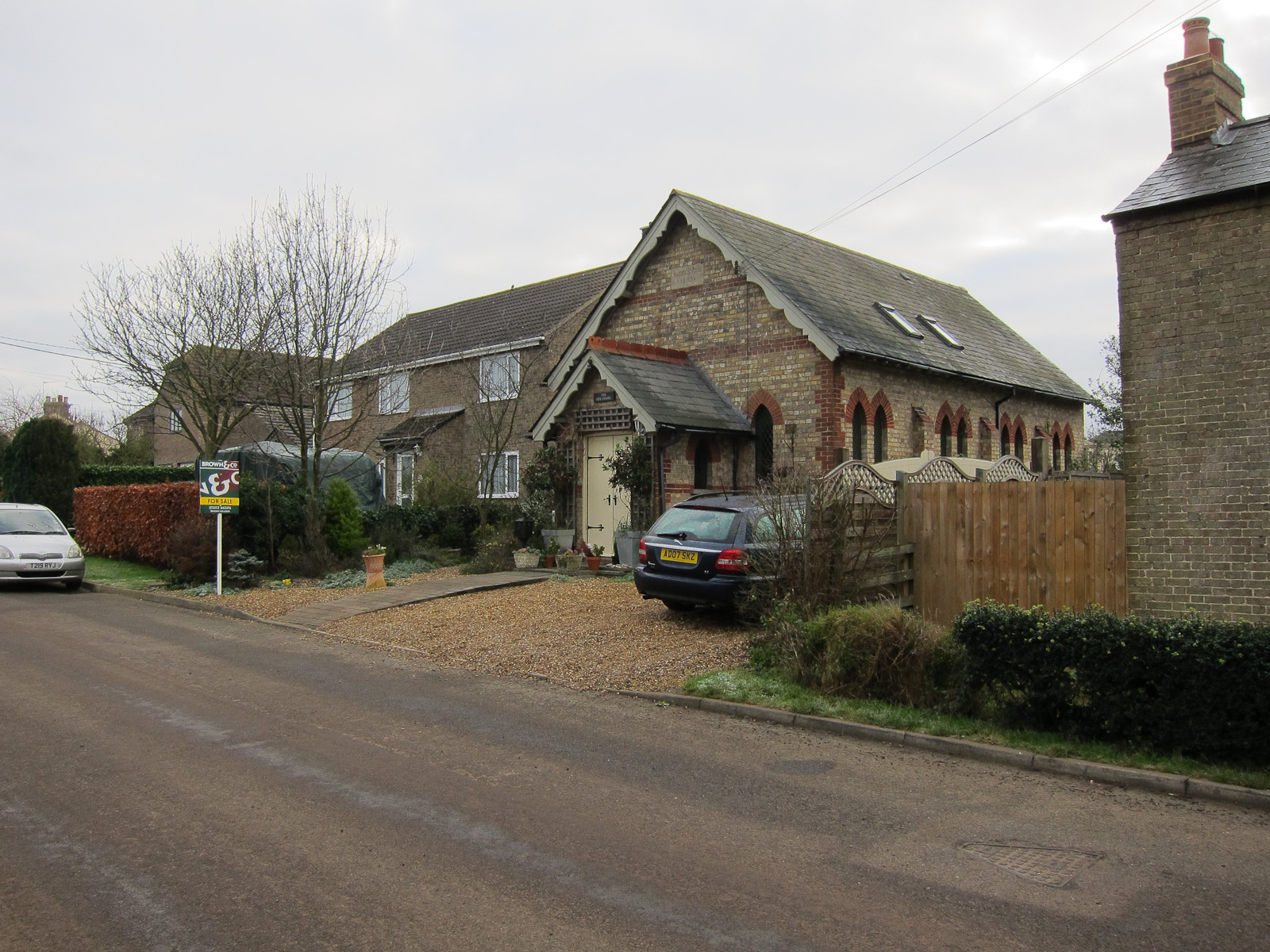
Witcham
Witcham is a small village near Ely in Cambridgeshire, England. The village is surrounded by fenland farms and has a village hall and a 13th-century church...

Ely Rural District
Ely Rural District was a rural district in England from 1894 to 1974. It was named after Ely, but did not include the city itself, instead covering the...
Wardy Hill
Wardy Hill is a hamlet in Coveney civil parish, part of East Cambridgeshire, England. It is also the site of a former Iron Age Hill fort == References ==
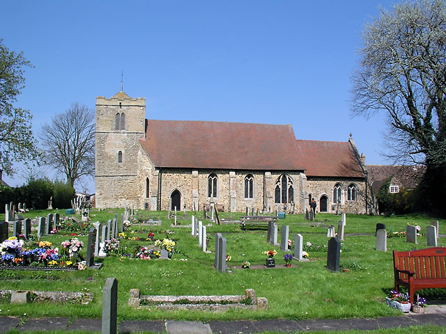
Witchford
Witchford is a village and civil parish about 2.5 miles (4 km) west of Ely, Cambridgeshire, England. The 2011 Census recorded the parish's population...

Witchford Village College
Witchford Village College (sometimes abbreviated to W.V.C.) is a secondary school in the village of Witchford, near Ely, Cambridgeshire, England. Before...

Coveney, Cambridgeshire
Coveney is a village northwest of Ely in Cambridgeshire. Coveney is on a small Fen 'island' rising to 43 feet (13 m) above sea level, some 3.5 miles...
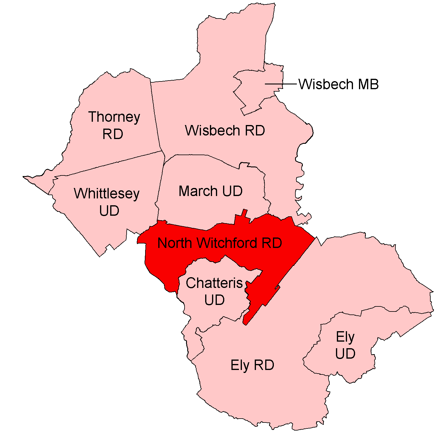
North Witchford Rural District
North Witchford was a rural district in England from 1894 to 1974. It was named after the ancient hundred of North Witchford. It was formed in 1894 under...
Nearby Amenities
Located within 500m of 52.399446,0.1779458Have you been to Burnt Hill?
Leave your review of Burnt Hill below (or comments, questions and feedback).