Clarke's Hill
Hill, Mountain in Cambridgeshire South Cambridgeshire
England
Clarke's Hill
Clarke's Hill, located in Cambridgeshire, England, is a prominent geographical feature that stands as a hill or mountain in the region. Rising to an elevation of approximately 77 meters (252 feet), it offers a commanding view of the surrounding landscape.
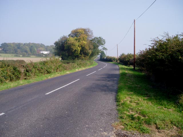
The hill is situated in the south of Cambridgeshire, near the village of Barrington. It is part of the undulating terrain that characterizes the region, which is otherwise known for its flat topography. Clarke's Hill stands out as a notable exception, providing visitors with a unique opportunity to experience an elevated viewpoint.
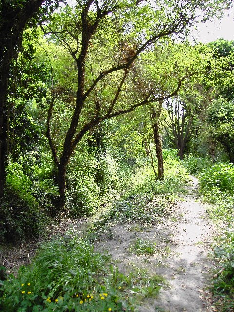
The hill is covered in lush green vegetation, which includes grasses, wildflowers, and scattered trees. It is a popular spot for outdoor enthusiasts, hikers, and nature lovers who appreciate the tranquility and beauty it offers. The surrounding area is also known for its rich wildlife, attracting birdwatchers and nature photographers.
Clarke's Hill holds historical significance as well. It is believed to have been named after a local landowner, suggesting a long-standing connection to the community. Over the years, it has become a beloved landmark in Cambridgeshire, drawing people from near and far to enjoy its natural splendor and picturesque views.
Whether one is looking to embark on a leisurely stroll, admire the scenery, or simply escape the hustle and bustle of everyday life, Clarke's Hill in Cambridgeshire offers a peaceful and serene retreat. With its gently sloping terrain and captivating vistas, it is undoubtedly a gem in the region's natural landscape.
If you have any feedback on the listing, please let us know in the comments section below.
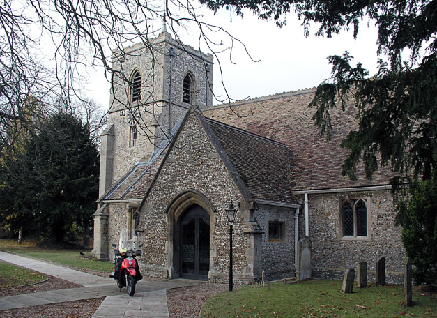
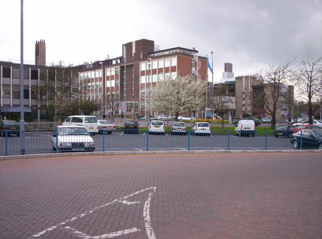
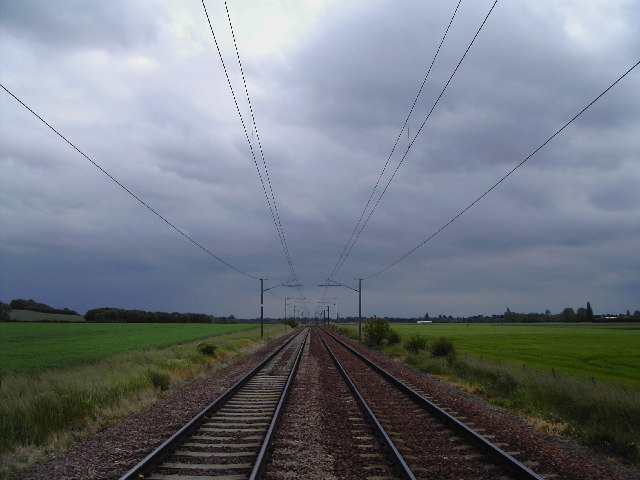
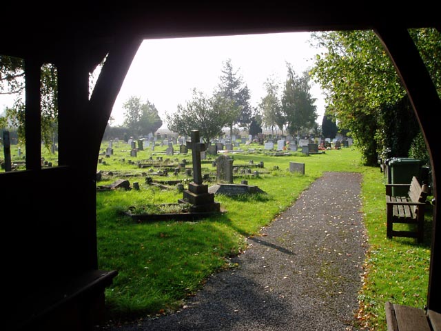
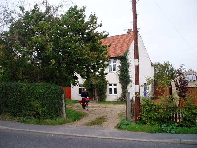
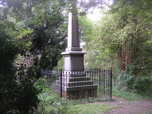
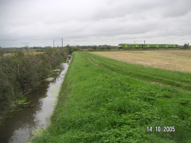
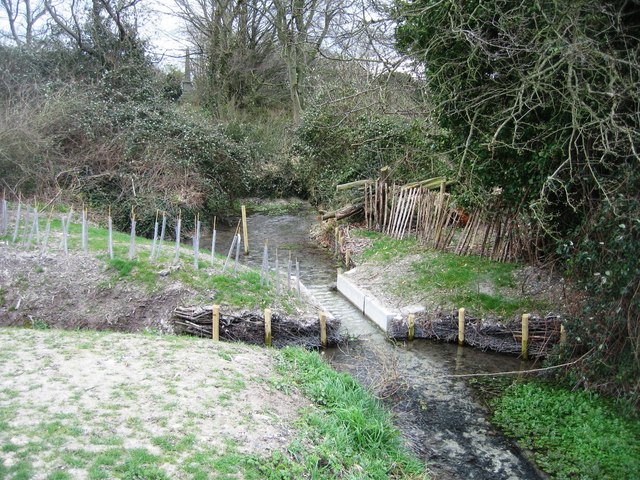
Clarke's Hill Images
Images are sourced within 2km of 52.161065/0.14881441 or Grid Reference TL4753. Thanks to Geograph Open Source API. All images are credited.


Clarke's Hill is located at Grid Ref: TL4753 (Lat: 52.161065, Lng: 0.14881441)
Administrative County: Cambridgeshire
District: South Cambridgeshire
Police Authority: Cambridgeshire
What 3 Words
///spokes.clots.originals. Near Sawston, Cambridgeshire
Nearby Locations
Related Wikis

Middlefield, Stapleford
Middlefield is a mansion in Stapleford, Cambridgeshire, England, designed in 1908–9 by Edwin Lutyens. It is a grade II* listed building. Middlefield was...
Nine Wells
Nine Wells is a 1.2 hectare Local Nature Reserve east of Trumpington, on the southern outskirts of Cambridge. It is owned and managed by Cambridge City...
Strangeways Research Laboratory
Strangeways Research Laboratory is a research institution in Cambridge, United Kingdom. It was founded by Thomas Strangeways in 1905 as the Cambridge Research...

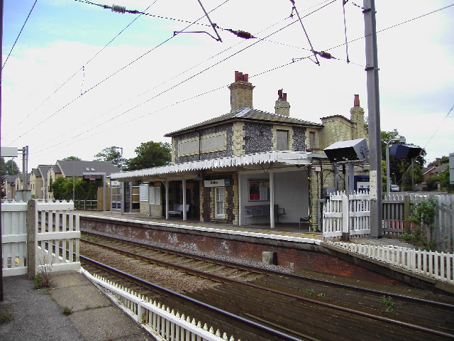
Shelford railway station
Shelford railway station is on the West Anglia Main Line serving the villages of Great Shelford, Little Shelford and Stapleford in Cambridgeshire, England...
Nearby Amenities
Located within 500m of 52.161065,0.14881441Have you been to Clarke's Hill?
Leave your review of Clarke's Hill below (or comments, questions and feedback).