Mill Hill
Hill, Mountain in Lincolnshire South Holland
England
Mill Hill
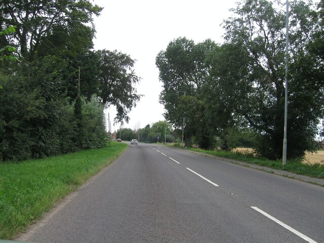
Mill Hill is a small village located in Lincolnshire, England. Situated on a hilltop, it offers picturesque views of the surrounding countryside. Despite its name, Mill Hill does not have any mountains, but rather gently rolling hills that add to its charm. The village is known for its tranquil atmosphere and close-knit community.
The village of Mill Hill has a rich history dating back several centuries. It was originally an agricultural community, with farming being the primary occupation of its residents. Today, it still retains its rural character, with a few farms dotting the landscape and the occasional grazing livestock.
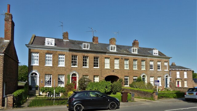
One notable feature of Mill Hill is its architecture. The village boasts a collection of well-preserved traditional cottages and buildings, some of which date back to the 18th century. These structures add to the village's quaint appeal and serve as a reminder of its historical roots.
In terms of amenities, Mill Hill offers a few small businesses, including a local pub and a convenience store, where residents can find basic necessities. For more extensive shopping and entertainment options, the nearby town of Lincoln is easily accessible by car or public transportation.
Mill Hill is also surrounded by natural beauty, making it an attractive destination for outdoor enthusiasts. The rolling hills and countryside provide ample opportunities for hiking, cycling, and exploring the great outdoors.
Overall, Mill Hill is a charming village in Lincolnshire, offering a peaceful and scenic retreat for both residents and visitors alike.
If you have any feedback on the listing, please let us know in the comments section below.
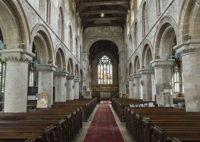
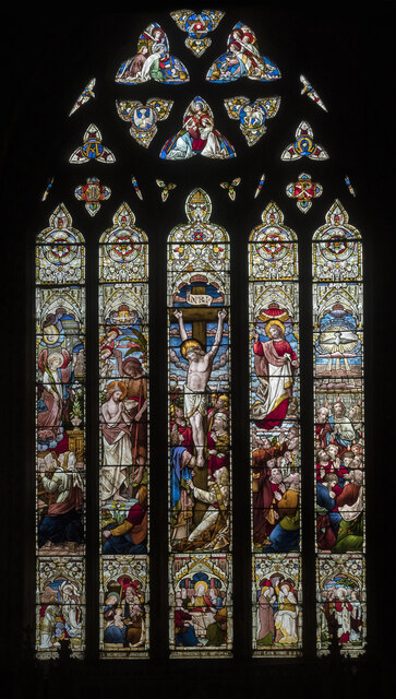
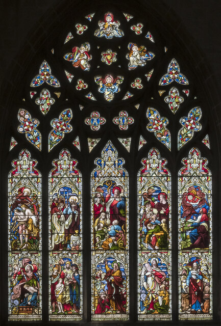
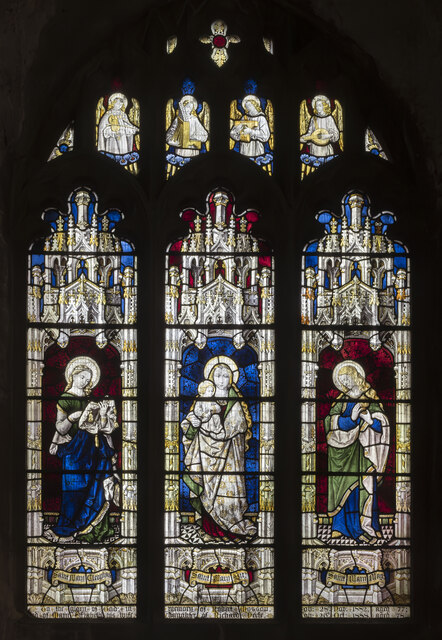
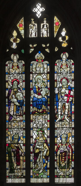
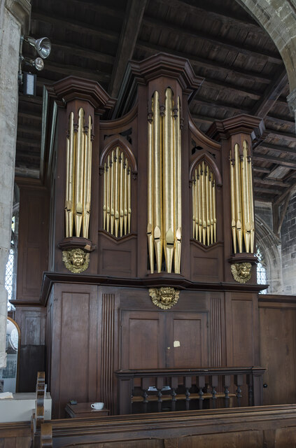
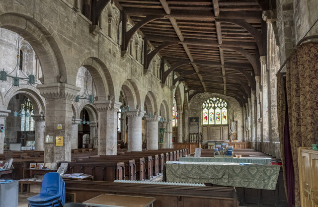
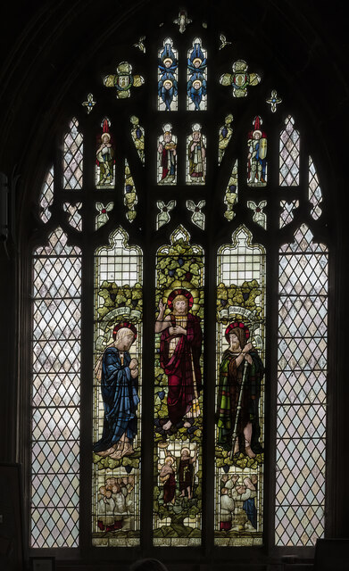
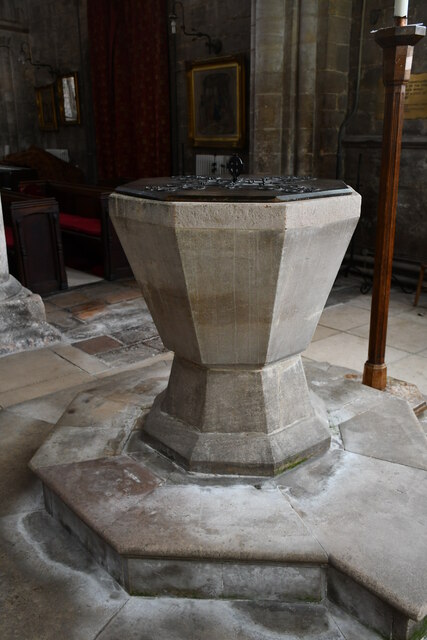
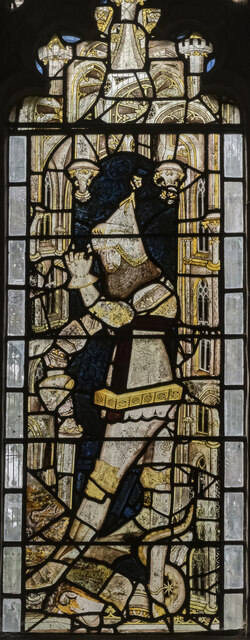
Mill Hill Images
Images are sourced within 2km of 52.77966/0.13288713 or Grid Reference TF4322. Thanks to Geograph Open Source API. All images are credited.


Mill Hill is located at Grid Ref: TF4322 (Lat: 52.77966, Lng: 0.13288713)
Administrative County: Lincolnshire
District: South Holland
Police Authority: Lincolnshire
What 3 Words
///couriers.nerve.wove. Near Sutton Bridge, Lincolnshire
Nearby Locations
Related Wikis

Low Fulney
Low Fulney is a hamlet in the South Holland district of Lincolnshire, England. It is in the Spalding St. Paul's ward of the South Holland District Council...
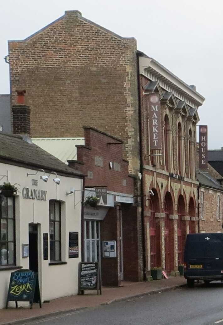
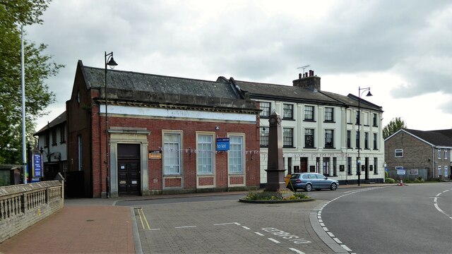
Long Sutton Market House
Long Sutton Market House, also known as Long Sutton Market House and Corn Exchange, is a commercial building in Market Street in Long Sutton, Lincolnshire...

Long Sutton, Lincolnshire
Long Sutton is a market town in the South Holland district of Lincolnshire, England. It lies in The Fens, close to the Wash, 13 miles (21 km) east of Spalding...

Long Sutton railway station
Long Sutton railway station was a station in Long Sutton, Lincolnshire, England. It was part of the Midland and Great Northern Joint Railway which closed...

Little Sutton, Lincolnshire
Little Sutton is a small civil parish, containing a few farms and a few houses, lying between the much larger parishes of Long Sutton and Sutton Bridge...
University Academy Long Sutton
University Academy Long Sutton (formerly The Peele Community College) is a co-educational secondary school located in Long Sutton in the English county...

Gedney railway station
Gedney railway station was a station in Gedney, Lincolnshire. It was a station on the Midland and Great Northern Joint Railway network. It opened on 1...

Lutton, Lincolnshire
Lutton (sometimes Lutton-Bourne) is a village and civil parish in the South Holland district of Lincolnshire, England. The population of the civil parish...
Nearby Amenities
Located within 500m of 52.77966,0.13288713Have you been to Mill Hill?
Leave your review of Mill Hill below (or comments, questions and feedback).