Baldwins Hill

Hill, Mountain in Essex Epping Forest

England

Baldwins Hill

Epping Forest From Baldwins Hill Within the M25!
Epping Forest From Baldwins Hill Credit: tim

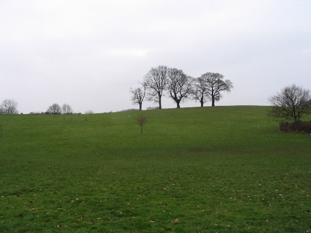
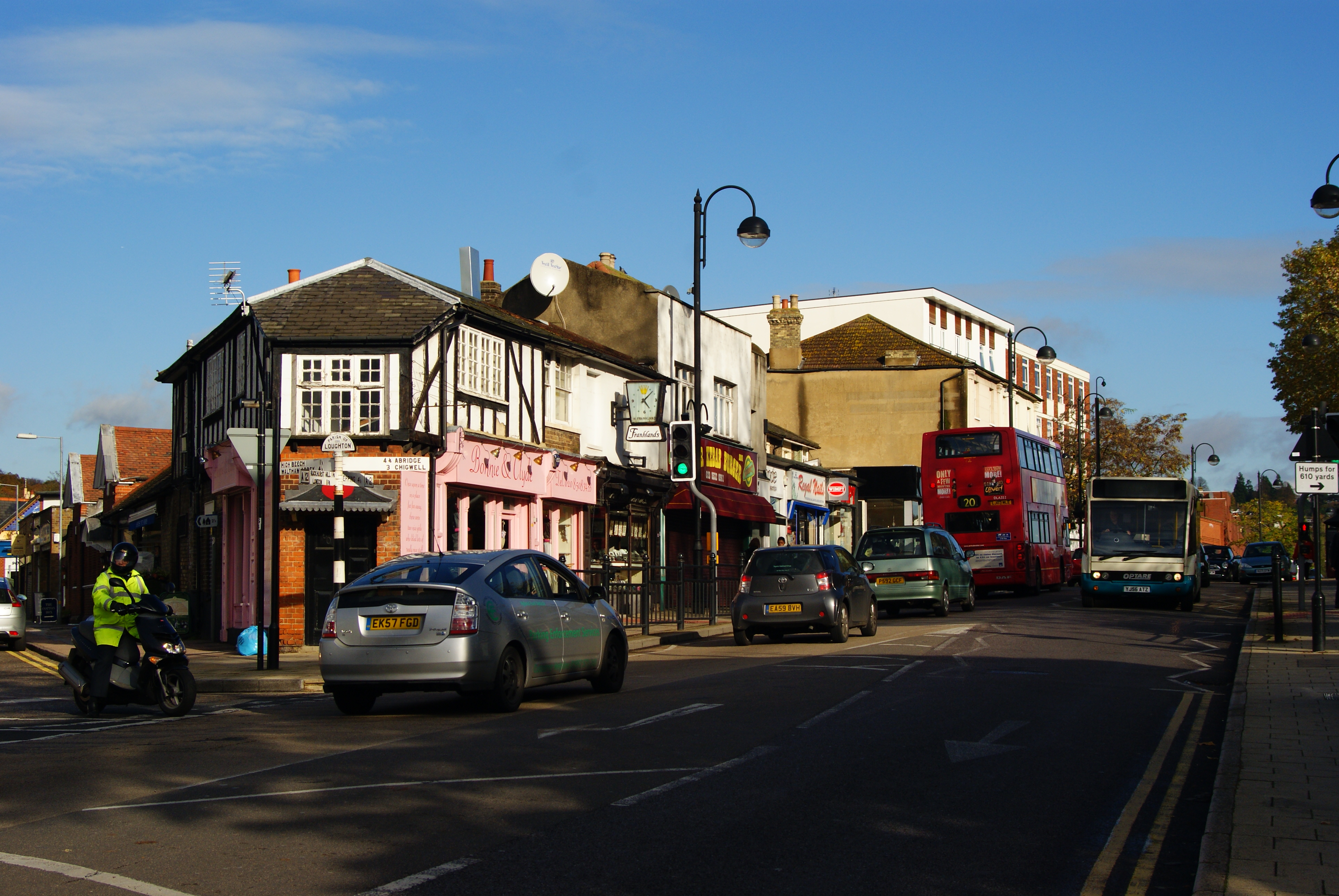
Baldwins Hill, located in the county of Essex, England, is a prominent geographical feature that stands as a striking hill in the area. Situated near the village of Loughton, it is part of the Epping Forest district and falls within the boundaries of Epping Forest itself. Despite being referred to as a hill, it is relatively small in comparison to other elevated landforms in the country, with an elevation of approximately 105 meters (344 feet).

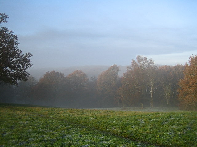
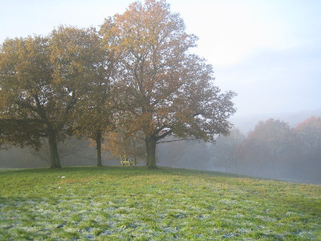
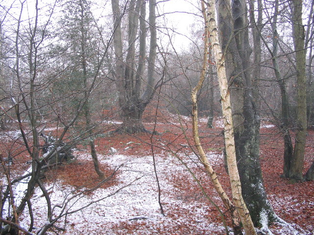
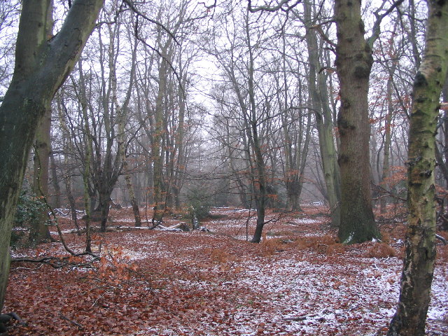
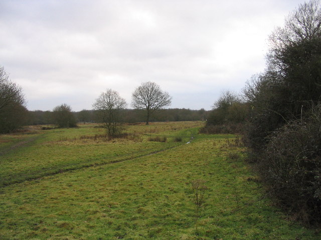
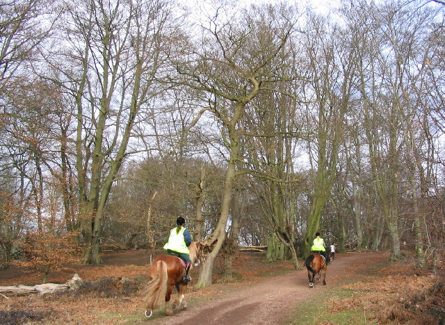
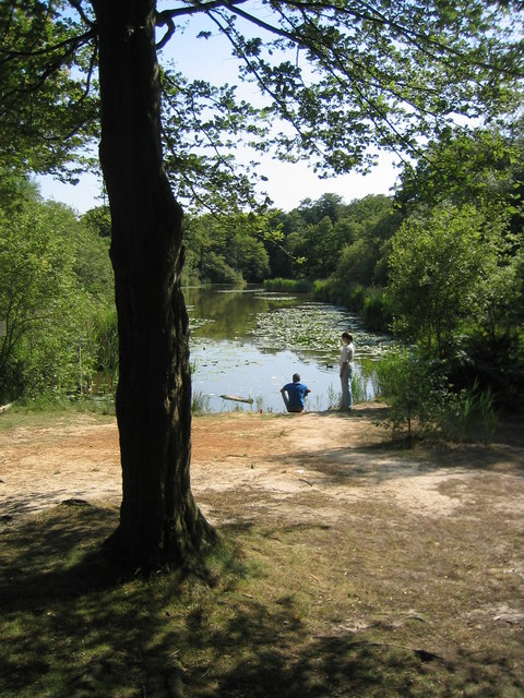
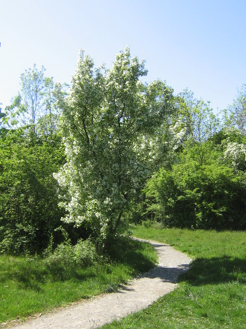
Baldwins Hill offers picturesque views of the surrounding landscape, presenting visitors with breathtaking panoramas of the surrounding forested areas and nearby towns. The tranquility and natural beauty of the hill make it a popular destination for nature enthusiasts, hikers, and photographers.

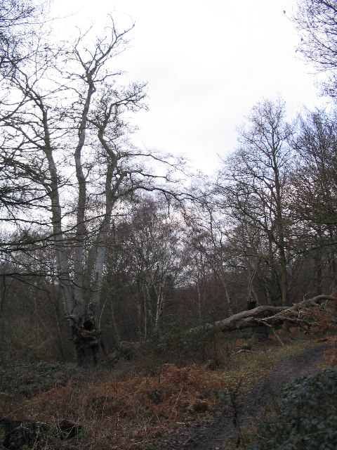
The hill is known for its rich history, with evidence of human activity dating back thousands of years. Archaeological excavations have unearthed remnants of Iron Age and Roman settlements, indicating that the area has been inhabited since ancient times. Today, the hill is a protected site, ensuring its preservation and conservation for future generations.

Accessible by well-maintained footpaths, Baldwins Hill attracts both locals and tourists alike, who come to enjoy the peaceful ambiance and explore the diverse flora and fauna that inhabit the area. It is also a favored spot for outdoor activities such as picnics, bird watching, and leisurely walks.

Overall, Baldwins Hill stands as a picturesque and historically significant landmark in Essex, offering visitors a glimpse into the region's natural beauty and cultural heritage.

If you have any feedback on the listing, please let us know in the comments section below.

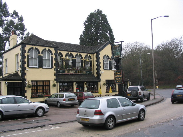
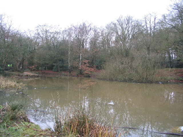
Baldwins Hill Images

Images are sourced within 2km of 51.659311/0.058987954 or Grid Reference TQ4297. Thanks to Geograph Open Source API. All images are credited.

Epping Forest From Baldwins Hill Within the M25!
Epping Forest From Baldwins Hill
Within the M25!
Bench in Epping Forest from Baldwins Hill
House restoration, Baldwins Hill This building has been painted white but it has been removed to reveal interesting brickwork detail.
House restoration, Baldwins Hill
This building has been painted white but it has been removed to reveal interesting brickwork detail.
Loughton Library Near to the library, there is a swimming pool, playground, car park and High Street.
Loughton Library
Near to the library, there is a swimming pool, playground, car park and High Street.
The Robin Hood The Robin Hood roundabout is a major landmark on the Epping New Road, which runs through Epping Forest.  For motorists (at least), this might be considered the centre point of the forest.
The Robin Hood
The Robin Hood roundabout is a major landmark on the Epping New Road, which runs through Epping Forest. For motorists (at least), this might be considered the centre point of the forest.
Earl's Path Pond This pond is the remains of 19th Century gravel workings.  It is beside the Earl's Path and the Three Forests Way.  The larger pond further South at Strawberry Hill is more attractive and is surrounded by woodland. Much of the woodland here is not "ancient", but has recovered after clearances.
Earl's Path Pond
This pond is the remains of 19th Century gravel workings. It is beside the Earl's Path and the Three Forests Way. The larger pond further South at Strawberry Hill is more attractive and is surrounded by woodland. Much of the woodland here is not "ancient", but has recovered after clearances.
Double decker bus on the High Road Taken at the junction with Ollards Grove and Old Station Rd. There are some good examples of suburban architecture nearby, but this part of the High Rd is not very attractive.
Double decker bus on the High Road
Taken at the junction with Ollards Grove and Old Station Rd. There are some good examples of suburban architecture nearby, but this part of the High Rd is not very attractive.
Epping Forest near Wake Valley Pond The tall old beech pollard is typical of this part of the forest.
Epping Forest near Wake Valley Pond
The tall old beech pollard is typical of this part of the forest.
Woodland near Wake Road The nearby Wake Arms roundabout is a major junction for the roads through Epping Forest.  Don't look for the Wake Arms though - it was demolished many years ago.  The predominant tree species varies according to the geology in the different parts of the forest.
Woodland near Wake Road
The nearby Wake Arms roundabout is a major junction for the roads through Epping Forest. Don't look for the Wake Arms though - it was demolished many years ago. The predominant tree species varies according to the geology in the different parts of the forest.
Fairmead Bottom Looking towards Fairmead Pond with the Epping New Road beyond.  This area is now grazed by longhorn cattle as part of the Epping Forest management regime.
Fairmead Bottom
Looking towards Fairmead Pond with the Epping New Road beyond. This area is now grazed by longhorn cattle as part of the Epping Forest management regime.
Epping Forest near Rushey Plain hut Beech and oak are the main trees here.  Many of the beeches are old, rather degenerate pollards.  The large example here is partly collapsed.
Epping Forest near Rushey Plain hut
Beech and oak are the main trees here. Many of the beeches are old, rather degenerate pollards. The large example here is partly collapsed.
Debden streetscene The Western part of this square has changed totally in the last 70 years. It is covered by housing and schools, but with some recreational open space.  This photograph was taken in Willingdale Road, near the entrance to the playing fields.  The brook, which runs from the forest down towards the Roding, is one feature which remains from the 1940s map.
Debden streetscene
The Western part of this square has changed totally in the last 70 years. It is covered by housing and schools, but with some recreational open space. This photograph was taken in Willingdale Road, near the entrance to the playing fields. The brook, which runs from the forest down towards the Roding, is one feature which remains from the 1940s map.
Epping Forest This is the green ride (shown on maps as the Centenary Walk) near Furze Ground, a gorse covered slope, which rises from the Tippa Burn and Hangboy Slade.  Some of the old beeches here have fallen and birch is taking over in a few places.  This is a good place for children to tip-toe along fallen tree trunks.
Epping Forest
This is the green ride (shown on maps as the Centenary Walk) near Furze Ground, a gorse covered slope, which rises from the Tippa Burn and Hangboy Slade. Some of the old beeches here have fallen and birch is taking over in a few places. This is a good place for children to tip-toe along fallen tree trunks.
Hillyfields This open space is at the border of Loughton and Debden, in suburbs close to Epping Forest.  This area has been planted as a Millennium Remembrance Grove, including exotic trees in memory of those who died in far-flung parts of the world.
Hillyfields
This open space is at the border of Loughton and Debden, in suburbs close to Epping Forest. This area has been planted as a Millennium Remembrance Grove, including exotic trees in memory of those who died in far-flung parts of the world.
Epping Forest College This is part of Epping Forest College in Loughton see 
<span class="nowrap"><a title="http://www.epping-forest.ac.uk/index.aspx" rel="nofollow ugc noopener" href="http://www.epping-forest.ac.uk/index.aspx">Link</a><img style="margin-left:2px;" alt="External link" title="External link - shift click to open in new window" src="https://s1.geograph.org.uk/img/external.png" width="10" height="10"/></span>
Epping Forest College
This is part of Epping Forest College in Loughton see LinkExternal link
Wake Pond, Epping Forest Early autumn
Wake Pond, Epping Forest
Early autumn
Home Mead in Spring
Home Mead in Spring
The Information Centre The Information Centre is part of the Epping Forest Field Centre complex at High Beach.
The Information Centre
The Information Centre is part of the Epping Forest Field Centre complex at High Beach.
Show me another place!

Baldwins Hill is located at Grid Ref: TQ4297 (Lat: 51.659311, Lng: 0.058987954)

Administrative County: Essex

District: Epping Forest

Police Authority: Essex

What 3 Words

///fleet.fuel.battle. Near Theydon Bois, Essex

Related Wikis

Epping Forest

Epping Forest is a 2,400-hectare (5,900-acre) area of ancient woodland, and other established habitats, which straddles the border between Greater London...

Loughton Camp

Loughton Camp is an Iron Age (~500 BC) Hill fort in Epping Forest, one mile (1.6 km) northwest of the town of Loughton. The camp's earthworks cover an...

A121 road (England)

The A121 road is a road in England connecting Waltham Cross and Woodford Wells. == Major settlements == The main settlements on it are Waltham Abbey and...

Great Monk Wood

Great Monk Wood is a wood within Epping Forest, in Essex, England. The wood, in the parish of Loughton, is centred on the Wakes Arms junction roundabout...

National Jazz Archive

The National Jazz Archive is a collection of materials pertaining to jazz and blues that is kept at the Loughton Library in Essex, England. The archive...

Home Mead

Home Mead is a 1.8 hectare Local Nature Reserve in Loughton in Essex. It is owned and managed by Epping Forest District Council.This site has woodland...

Debden House

Debden House is a conference centre and campsite located in Loughton, Essex, England. The house is owned and operated by Newham London Borough Council...

Loughton

Loughton () is a town and civil parish in the Epping Forest District of Essex, within the metropolitan and urban area of London, England. Situated 12 miles...

Nearby Amenities

Located within 500m of 51.659311,0.058987954
Turning Circle
Lat/Long: 51.6595705/0.0638339
Noexit: yes
Lat/Long: 51.6591814/0.0638375
Fixme: Loughton FP 109 should connect to Baldwin's Hill, survey required
Lat/Long: 51.6576639/0.0624373
Blackweir Hill
Natural: peak
Lat/Long: 51.6596248/0.0554786
Baldwins Hill
Natural: peak
Lat/Long: 51.6595582/0.0602422
Bellringer's Hollow
Place: locality
Lat/Long: 51.6630605/0.0575984
The data included in this document is from www.openstreetmap.org. The data is made available under ODbL.

Have you been to Baldwins Hill?

Leave your review of Baldwins Hill below (or comments, questions and feedback).