Clay Hill

Hill, Mountain in Essex South Cambridgeshire

England

Clay Hill

The B.1039, heading towards Royston
The B.1039, heading towards Royston Credit: Robert Edwards

The requested URL returned error: 429 Too Many Requests

If you have any feedback on the listing, please let us know in the comments section below.
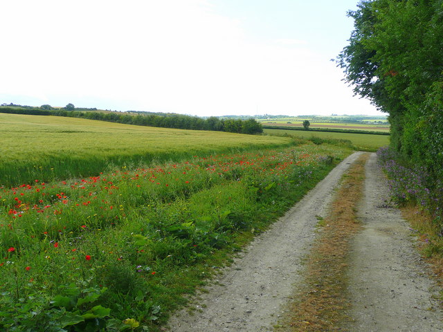
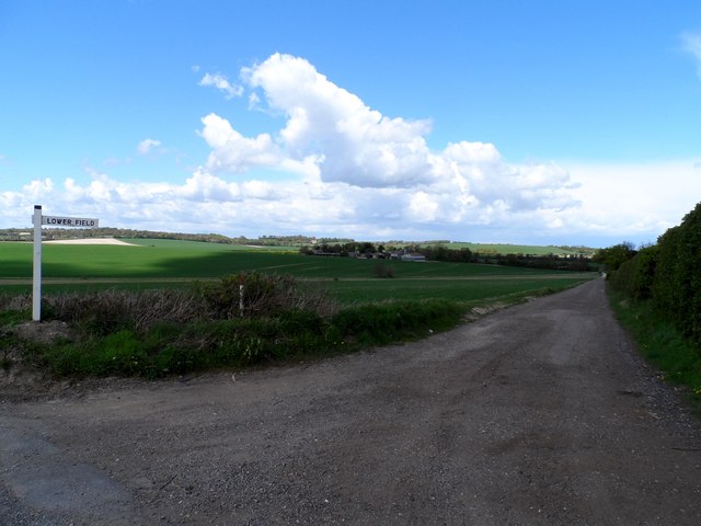
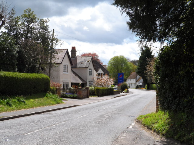
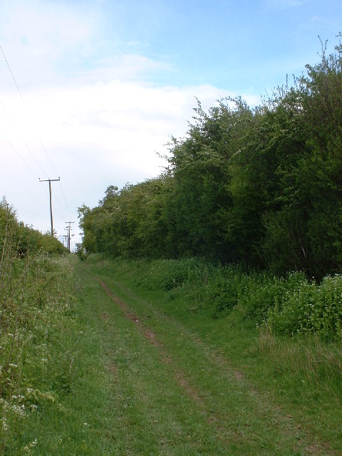
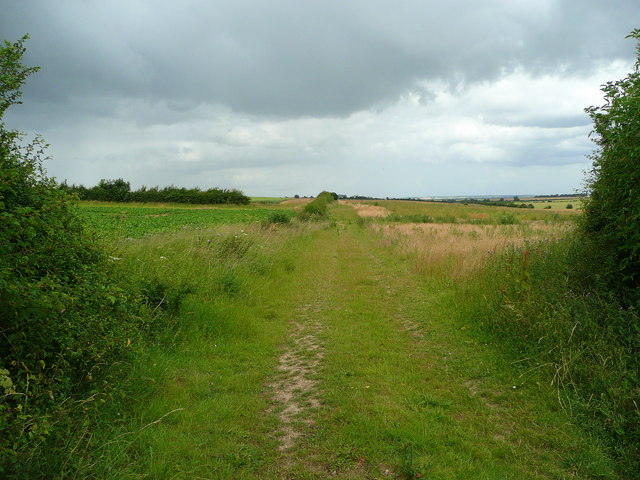
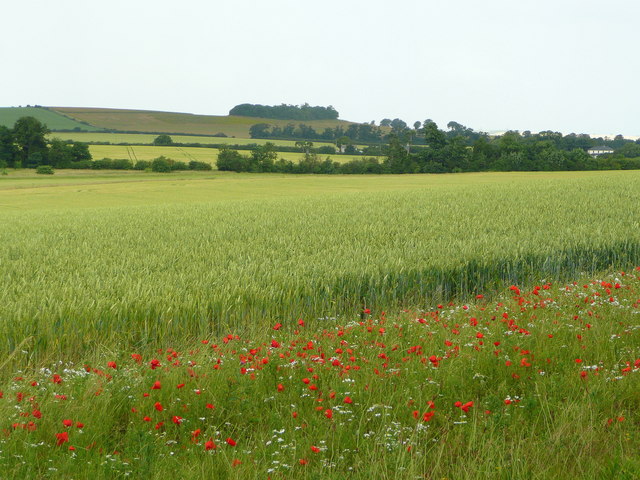
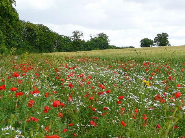
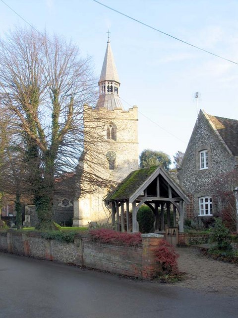
Clay Hill Images

Images are sourced within 2km of 52.045713/0.051065514 or Grid Reference TL4040. Thanks to Geograph Open Source API. All images are credited.

The B.1039, heading towards Royston
Track and barley field Yes it is barley at Barley!
Track and barley field
Yes it is barley at Barley!
Track to Lowerfield Lower Field on the sign post but Lowerfield on the O.S. map.
Track to Lowerfield
Lower Field on the sign post but Lowerfield on the O.S. map.
High Street, Barley With petrol station sign.
High Street, Barley
With petrol station sign.
Patterns in the Fields Way past harvest time but some interesting patterns here in the fields.
Patterns in the Fields
Way past harvest time but some interesting patterns here in the fields.
Icknield Way near Royston
Road-side signs near Barley Signs indicating positions of underground water supply stop-valves.
Road-side signs near Barley
Signs indicating positions of underground water supply stop-valves.
Newhill pond Newhill pond, near Barley. It was practically dry last autumn but with the recent rains it has filled up again.
Newhill pond
Newhill pond, near Barley. It was practically dry last autumn but with the recent rains it has filled up again.
Chishill windmill The windmill at Chishill is preserved by the Cambridgeshire County Council
Chishill windmill
The windmill at Chishill is preserved by the Cambridgeshire County Council
Hedgerow south of Icknield Way
Milepost London 38 This is William Warren's milepost XIII with an added metal plaque. Comparison with a survey in 2001 <span class="nowrap"><a title="http://milestones.megalithia.com/sites/tl401399.htm" rel="nofollow ugc noopener" href="http://milestones.megalithia.com/sites/tl401399.htm">Link</a><img style="margin-left:2px;" alt="External link" title="External link - shift click to open in new window" src="https://s1.geograph.org.uk/img/external.png" width="10" height="10"/></span> shows that the plaque has been replaced since then, and that the original date was MDCCXXXII. It is now so surrounded by nettles as to be unapproachable, and so shaded by trees I used flash-fill for this photo.
Milepost London 38
This is William Warren's milepost XIII with an added metal plaque. Comparison with a survey in 2001 LinkExternal link shows that the plaque has been replaced since then, and that the original date was MDCCXXXII. It is now so surrounded by nettles as to be unapproachable, and so shaded by trees I used flash-fill for this photo.
Footpath north to Melbourn Viewed from the B1368 just north of Barley.
Footpath north to Melbourn
Viewed from the B1368 just north of Barley.
Wheatfield in north-east Hertfordshire Looking north over Noon's Folly Farm to the wood at Goffers Knoll in the distance, both in Cambridgeshire.
Wheatfield in north-east Hertfordshire
Looking north over Noon's Folly Farm to the wood at Goffers Knoll in the distance, both in Cambridgeshire.
Arable countryside Looking towards Lowerfield Farm near Barley.
Arable countryside
Looking towards Lowerfield Farm near Barley.
Wildflower headland A good wide headland enables wildlife to thrive even in the 'prairie' land of East Anglia.
Wildflower headland
A good wide headland enables wildlife to thrive even in the 'prairie' land of East Anglia.
Water Pumping Station Belonging to Three Valleys Water.
Water Pumping Station
Belonging to Three Valleys Water.
Chishill windmill This post mill is an interesting example of rural engineering. It was built in 1819, using timbers from an earlier mill of 1726, and it was last worked in 1951. Restoration was carried out in 1966 and it is now open to the public from 1st April to 31st October.
Chishill windmill
This post mill is an interesting example of rural engineering. It was built in 1819, using timbers from an earlier mill of 1726, and it was last worked in 1951. Restoration was carried out in 1966 and it is now open to the public from 1st April to 31st October.
Chishill Windmill in winter fields
Show me another place!

Clay Hill is located at Grid Ref: TL4040 (Lat: 52.045713, Lng: 0.051065514)

Administrative County: Cambridgeshire

District: South Cambridgeshire

Police Authority: Cambridgeshire

What 3 Words

///glimmers.single.rises. Near Melbourn, Cambridgeshire

Nearby Locations

Clay Hill

Related Wikis

Great Chishill

Great Chishill is a village and former civil parish, now in the parish of Great and Little Chishill, in the South Cambridgeshire district, in the county...

Barley, Hertfordshire

Barley is a village and civil parish in the district of North Hertfordshire, England. According to the 2001 census, it has a population of 659, increasing...

Flint Cross

Flint Cross is a hamlet and crossroads in South Cambridgeshire, in the English county of Cambridgeshire. It is in the south of the district, where the...

Goffers Knoll

Goffers Knoll is a prominent knoll on the Hertfordshire-Cambridgeshire border in the east of England, to the east of the town of Royston and south of Melbourn...

Have you been to Clay Hill?

Leave your review of Clay Hill below (or comments, questions and feedback).