West Hill

Hill, Mountain in Essex Epping Forest

England

West Hill

Bridge over the M25 near Upshire Officially named the London Orbital and frequently derided as nothing more than a very big car park, the M25 is a 117-mile orbital motorway that encircles London; one of the world's biggest ring roads (Europe's second longest orbital road after the Berliner Ring, which is 122 miles). It is not, however, a continuous loop of motorway as the Dartford Crossing section (comprising the Dartford Tunnels and the Queen Elizabeth II Bridge) over the Thames and its approach roads are designated as the A282. 

Constructed between 1975 and 1986, the M25 is reputedly the most expensive motorway Britain ever built, costing a total of £909m or roughly £7.5m per mile, but at the time of its planning, the demand for the road was considerably underestimated so that when it was finally completed in 1986, it was already out of date. Demand outstripped capacity within a few years and ever since then it's been very heavily congested. 

The M25 is one of the UK’s busiest motorways, carrying up to 200,000 vehicles and 10,000 HGVs per day (AADT - Annual Average Daily Traffic flow) on the section near to Heathrow Airport. Since its opening in the 1980s, the southern, western and eastern sections have been widened to largely dual four lane (D4M) standard, but much of the motorway retains its dual three lane road (D3M) cross-section as originally built. 

The M25 was home to England's first Variable Speed Limits on motorways between the A3 and M4 in the early 1990s.

<span class="nowrap"><a title="http://www.cbrd.co.uk/motorway/m25/" rel="nofollow ugc noopener" href="http://www.cbrd.co.uk/motorway/m25/">Link</a><img style="margin-left:2px;" alt="External link" title="External link - shift click to open in new window" src="https://s1.geograph.org.uk/img/external.png" width="10" height="10"/></span>  cbrd
<span class="nowrap"><a title="http://www.sabre-roads.org.uk/wiki/index.php?title=M25" rel="nofollow ugc noopener" href="http://www.sabre-roads.org.uk/wiki/index.php?title=M25">Link</a><img style="margin-left:2px;" alt="External link" title="External link - shift click to open in new window" src="https://s1.geograph.org.uk/img/external.png" width="10" height="10"/></span>  SABRE
Bridge over the M25 near Upshire Credit: David Dixon

West Hill is a prominent hill located in the county of Essex, England. Situated in the southeastern part of the county, it forms part of the undulating landscape of the area. With an elevation of approximately 110 meters (360 feet), it stands as one of the highest points in Essex.

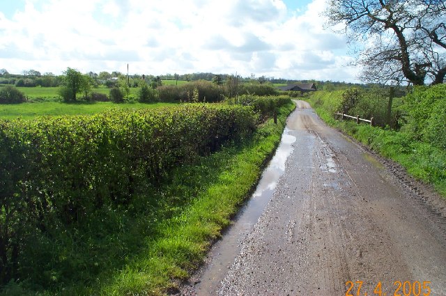
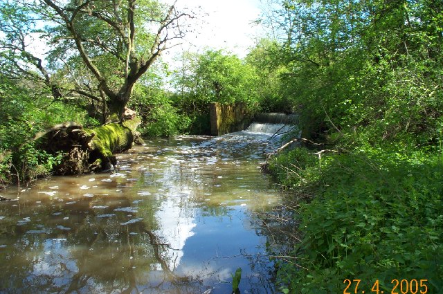
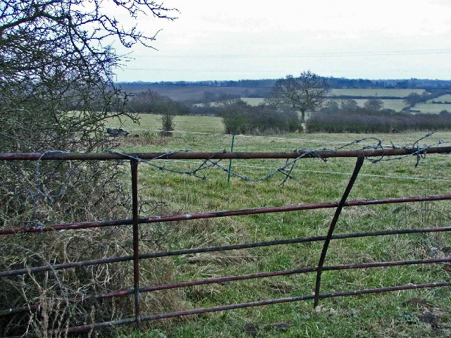
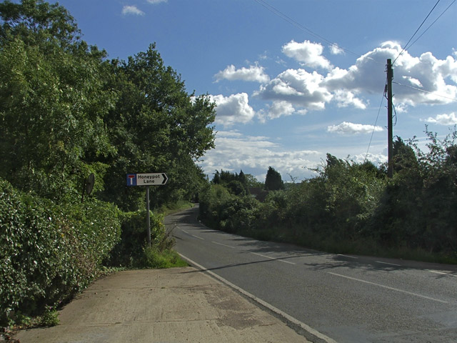
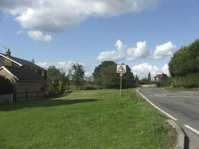
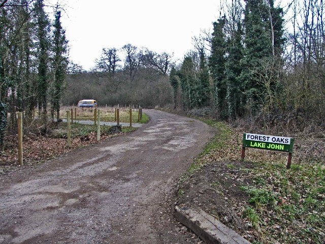
Covered in lush greenery and an abundance of trees, West Hill offers stunning panoramic views of the surrounding countryside and villages. Its location provides a picturesque setting for nature enthusiasts and hikers, offering numerous walking trails and paths to explore the area's natural beauty.

The hill is home to a diverse range of flora and fauna, including oak, beech, and birch trees, as well as various species of birds and small mammals. These features contribute to the hill's importance as a local nature reserve, attracting visitors year-round.

West Hill holds historical significance as well, with archaeological evidence suggesting human activity in the area dating back to the Neolithic period. The hilltop has been the site of various settlements throughout history, including Iron Age encampments and Roman settlements.

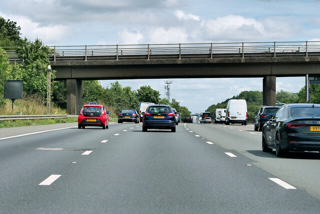
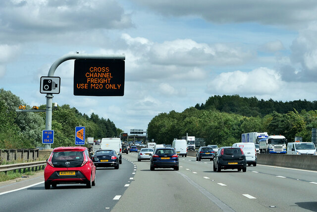
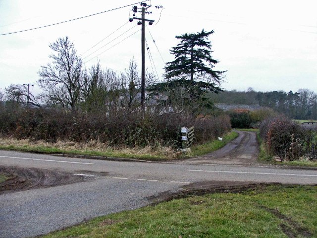
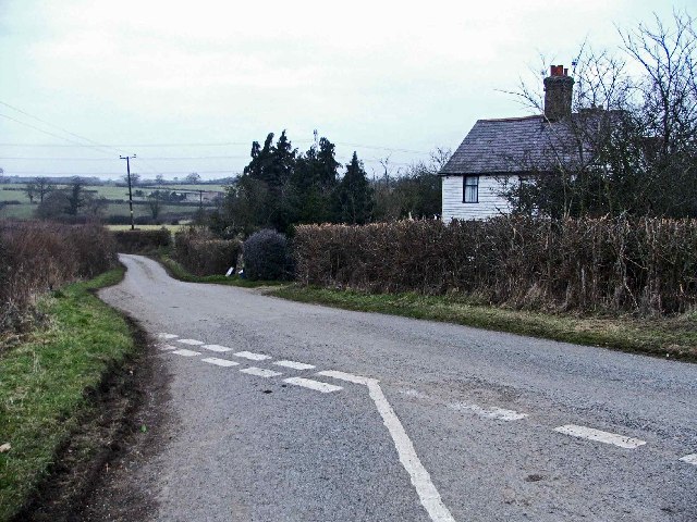
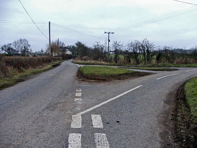
The hill is easily accessible by road, with nearby parking facilities available for visitors. Its location also offers convenient access to nearby towns and villages, making it a popular destination for both locals and tourists seeking a peaceful retreat in the heart of Essex's natural beauty.

If you have any feedback on the listing, please let us know in the comments section below.
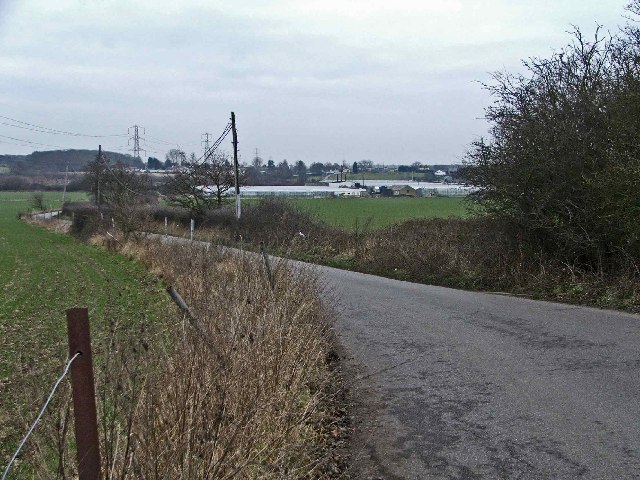
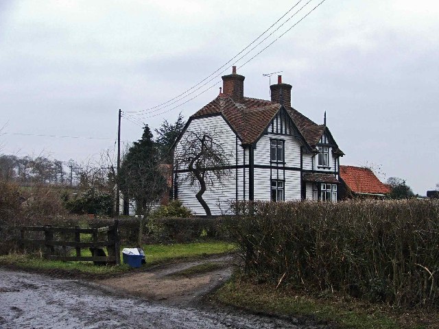
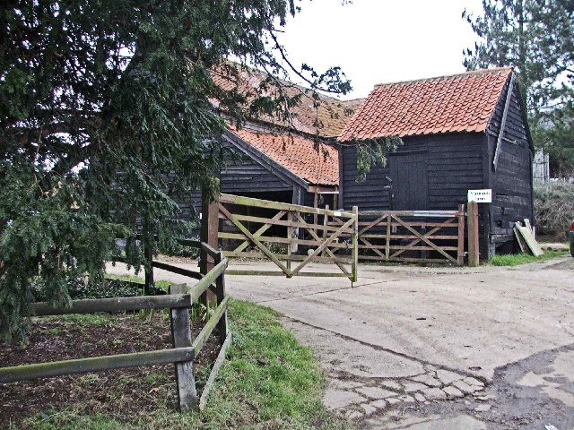
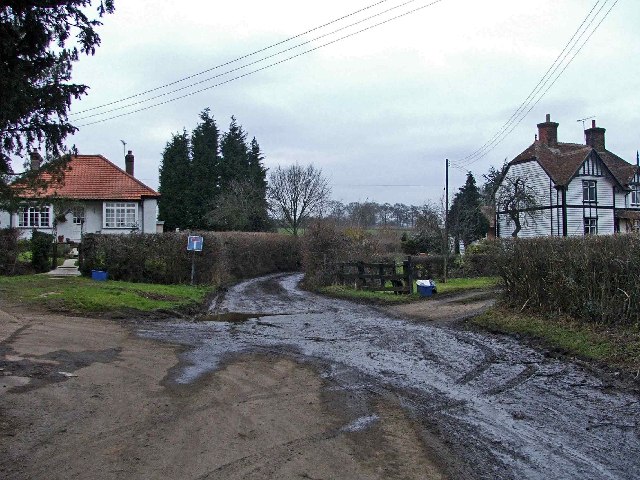
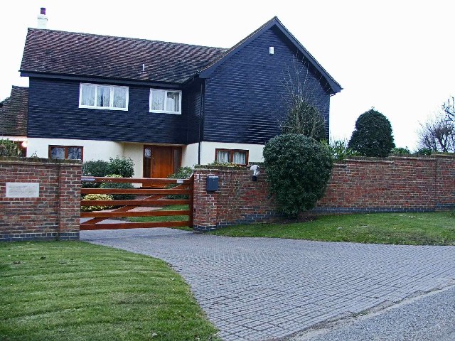
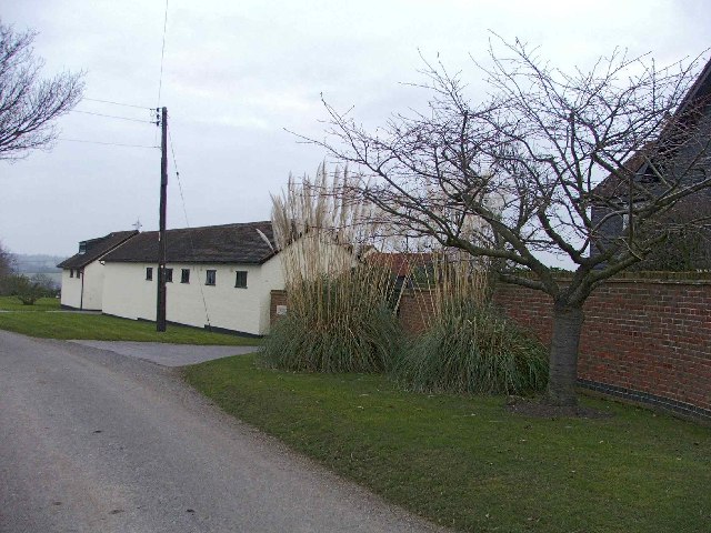
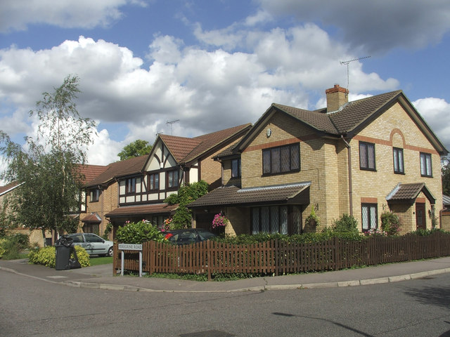
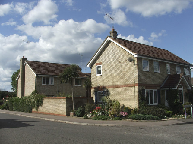
West Hill Images

Images are sourced within 2km of 51.691933/0.032846603 or Grid Reference TL4001. Thanks to Geograph Open Source API. All images are credited.

Bridge over the M25 near Upshire Officially named the London Orbital and frequently derided as nothing more than a very big car park, the M25 is a 117-mile orbital motorway that encircles London; one of the world's biggest ring roads (Europe's second longest orbital road after the Berliner Ring, which is 122 miles). It is not, however, a continuous loop of motorway as the Dartford Crossing section (comprising the Dartford Tunnels and the Queen Elizabeth II Bridge) over the Thames and its approach roads are designated as the A282. 

Constructed between 1975 and 1986, the M25 is reputedly the most expensive motorway Britain ever built, costing a total of £909m or roughly £7.5m per mile, but at the time of its planning, the demand for the road was considerably underestimated so that when it was finally completed in 1986, it was already out of date. Demand outstripped capacity within a few years and ever since then it's been very heavily congested. 

The M25 is one of the UK’s busiest motorways, carrying up to 200,000 vehicles and 10,000 HGVs per day (AADT - Annual Average Daily Traffic flow) on the section near to Heathrow Airport. Since its opening in the 1980s, the southern, western and eastern sections have been widened to largely dual four lane (D4M) standard, but much of the motorway retains its dual three lane road (D3M) cross-section as originally built. 

The M25 was home to England's first Variable Speed Limits on motorways between the A3 and M4 in the early 1990s.

<span class="nowrap"><a title="http://www.cbrd.co.uk/motorway/m25/" rel="nofollow ugc noopener" href="http://www.cbrd.co.uk/motorway/m25/">Link</a><img style="margin-left:2px;" alt="External link" title="External link - shift click to open in new window" src="https://s1.geograph.org.uk/img/external.png" width="10" height="10"/></span>  cbrd
<span class="nowrap"><a title="http://www.sabre-roads.org.uk/wiki/index.php?title=M25" rel="nofollow ugc noopener" href="http://www.sabre-roads.org.uk/wiki/index.php?title=M25">Link</a><img style="margin-left:2px;" alt="External link" title="External link - shift click to open in new window" src="https://s1.geograph.org.uk/img/external.png" width="10" height="10"/></span>  SABRE
Bridge over the M25 near Upshire
Officially named the London Orbital and frequently derided as nothing more than a very big car park, the M25 is a 117-mile orbital motorway that encircles London; one of the world's biggest ring roads (Europe's second longest orbital road after the Berliner Ring, which is 122 miles). It is not, however, a continuous loop of motorway as the Dartford Crossing section (comprising the Dartford Tunnels and the Queen Elizabeth II Bridge) over the Thames and its approach roads are designated as the A282. Constructed between 1975 and 1986, the M25 is reputedly the most expensive motorway Britain ever built, costing a total of £909m or roughly £7.5m per mile, but at the time of its planning, the demand for the road was considerably underestimated so that when it was finally completed in 1986, it was already out of date. Demand outstripped capacity within a few years and ever since then it's been very heavily congested. The M25 is one of the UK’s busiest motorways, carrying up to 200,000 vehicles and 10,000 HGVs per day (AADT - Annual Average Daily Traffic flow) on the section near to Heathrow Airport. Since its opening in the 1980s, the southern, western and eastern sections have been widened to largely dual four lane (D4M) standard, but much of the motorway retains its dual three lane road (D3M) cross-section as originally built. The M25 was home to England's first Variable Speed Limits on motorways between the A3 and M4 in the early 1990s. LinkExternal link cbrd LinkExternal link SABRE
Variable Message Sign on the M25 at Copthall Green Variable message signs (VMS), also sometimes referred to as matrix signs, are electronic traffic signs used on motorways (and some other major routes) to give drivers information about special events and to warn them about traffic congestion, accidents, incidents, roadworks or speed limits on specific sections of the route. They may also suggest (or instruct) drivers to take alternative routes, limit speed, warn of the duration and location of the incidents or just inform them of the traffic conditions. Drivers carrying freight bound for the cross-channel port of Dover are instructed to use the M20 by this sign.
Variable Message Sign on the M25 at Copthall Green
Variable message signs (VMS), also sometimes referred to as matrix signs, are electronic traffic signs used on motorways (and some other major routes) to give drivers information about special events and to warn them about traffic congestion, accidents, incidents, roadworks or speed limits on specific sections of the route. They may also suggest (or instruct) drivers to take alternative routes, limit speed, warn of the duration and location of the incidents or just inform them of the traffic conditions. Drivers carrying freight bound for the cross-channel port of Dover are instructed to use the M20 by this sign.
Cobbinsend Road near Waltham Abbey View looking south along the lane over the bridge over Cobbin's Brook towards Fernhall Farm
Cobbinsend Road near Waltham Abbey
View looking south along the lane over the bridge over Cobbin's Brook towards Fernhall Farm
Weir on Cobbin's Brook Viewed looking east this weir is on Cobbin's Brook where it flows through Warlies Park. The water level was higher than normal due to a period of heavy rain.
Weir on Cobbin's Brook
Viewed looking east this weir is on Cobbin's Brook where it flows through Warlies Park. The water level was higher than normal due to a period of heavy rain.
Breach Barns Lane leads from Dallance Farm to Oakwood Nursery Breach Barns Lane is a small road off Galleyhill Road, leading from Dallance Farm to Oakwood Nursery
Breach Barns Lane leads from Dallance Farm to Oakwood Nursery
Breach Barns Lane is a small road off Galleyhill Road, leading from Dallance Farm to Oakwood Nursery
Cobbinsend Farm, Cobbinsend Road, near Waltham Abbey
Maynards Farm, Cobbinsend Road, near Waltham Abbey Entrance to Maynards Farm opposite Cobbinsend Farm on Cobbinsend Road, near Waltham Abbey.
Maynards Farm, Cobbinsend Road, near Waltham Abbey
Entrance to Maynards Farm opposite Cobbinsend Farm on Cobbinsend Road, near Waltham Abbey.
Cobbinsend Road, near Waltham Abbey Cobbinsend Road looking north with Cobbinsend Farm on the right
Cobbinsend Road, near Waltham Abbey
Cobbinsend Road looking north with Cobbinsend Farm on the right
Three Gates where Claverhambury Road joins Cobbinsend Road Farmland in the area called three gates where Claverhambury Road joins Cobbinsend Road
Three Gates where Claverhambury Road joins Cobbinsend Road
Farmland in the area called three gates where Claverhambury Road joins Cobbinsend Road
Entrance to Fernhall Farm, Fernhall Lane Entrance to Fernhall Farm where Cobbinsend Road meets Fernhall Lane and Long Street
Entrance to Fernhall Farm, Fernhall Lane
Entrance to Fernhall Farm where Cobbinsend Road meets Fernhall Lane and Long Street
Cottage opposite Fernhall Farm opposite junction with Fernhall Road
Long Street looking towards the Cottages Junction of Long Street, Fernhall Lane and Cobbinsend Road, looking towards the Cottages in Long Street
Long Street looking towards the Cottages
Junction of Long Street, Fernhall Lane and Cobbinsend Road, looking towards the Cottages in Long Street
Newhouse Farm, Long Street, Copthall Green Newhouse Farm, Copthall Stud, Long Street, Copthall Green
Newhouse Farm, Long Street, Copthall Green
Newhouse Farm, Copthall Stud, Long Street, Copthall Green
Farm buildings at Newhouse Farm, Long Lane
Corner of Peregrene Road and Farthingale Lane, Waltham Abbey, Essex
Honeypot Lane Road Sign from Woodgreen Road, Upshire, Essex
Woodgreen Road, Upshire, Essex.
Show me another place!

West Hill is located at Grid Ref: TL4001 (Lat: 51.691933, Lng: 0.032846603)

Administrative County: Essex

District: Epping Forest

Police Authority: Essex

What 3 Words

///windy.exams.origin. Near Waltham Abbey, Essex

Nearby Locations

Cobbin Pond West Hill

Related Wikis

Upshire

Upshire is a village and area of Waltham Abbey in the Epping Forest District of Essex, England. The centre of the village is on Horseshoe Hill (a minor...

King Harold Business and Enterprise Academy

King Harold Business and Enterprise Academy (formerly King Harold School) is a secondary school and specialist business and enterprise college located...

Aimes Green

Aimes Green is a Hamlet in Essex, England. It is near the hamlet of Holyfield and the town of Waltham Abbey. == References == A-Z Essex, 2010 edition....

Waltham Abbey F.C.

Waltham Abbey F.C. is an English football club based in Waltham Abbey, Essex. The team currently plays in the Southern League Division One Central....

Waltham Abbey

Waltham Abbey is a town and civil parish in the Epping Forest District of Essex, within the metropolitan and urban area of London, England, 13.5 miles...
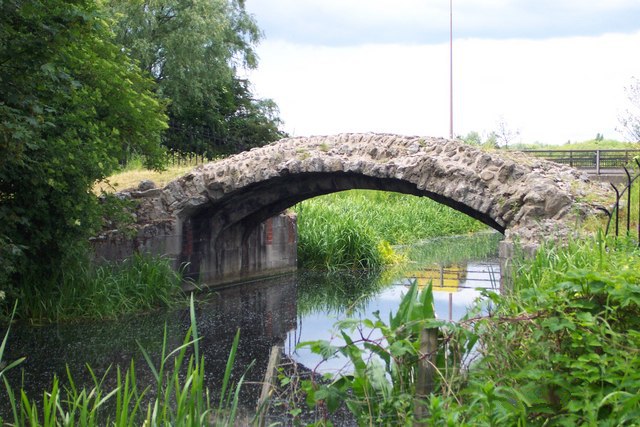
Cornmill Stream

The Cornmill Stream is a minor tributary of the River Lea in the English county of Essex. == History == The stream is an artificial watercourse which may...
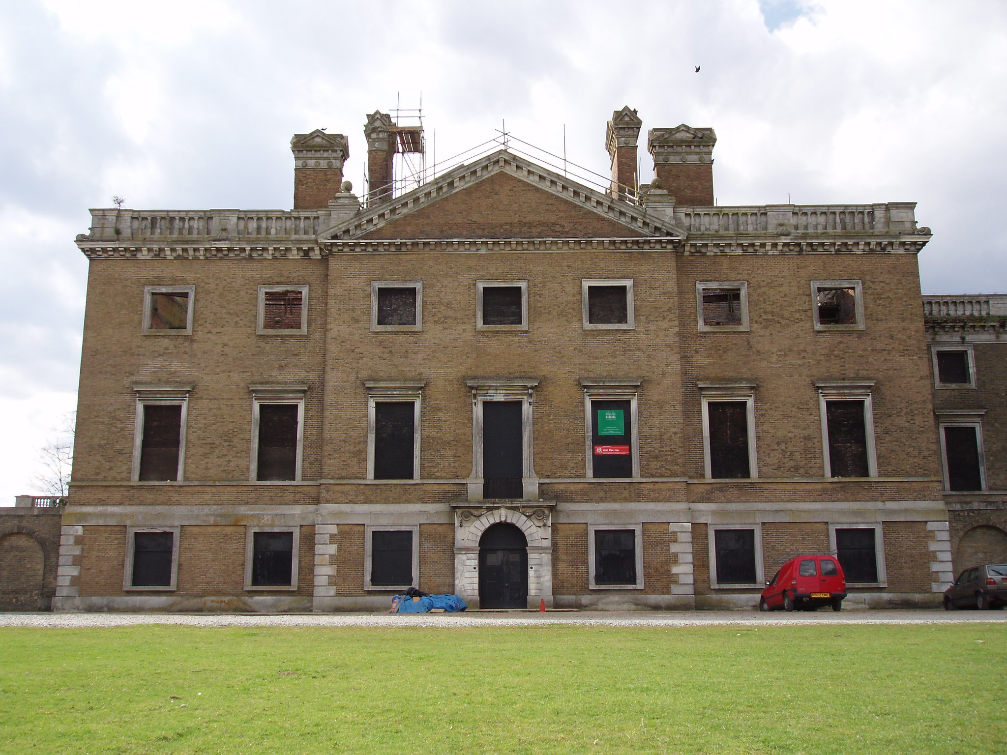
Copped Hall

Copped Hall, also known as Copt Hall or Copthall, is a mid-18th-century English country house close to Waltham Abbey, Essex, which has been undergoing...

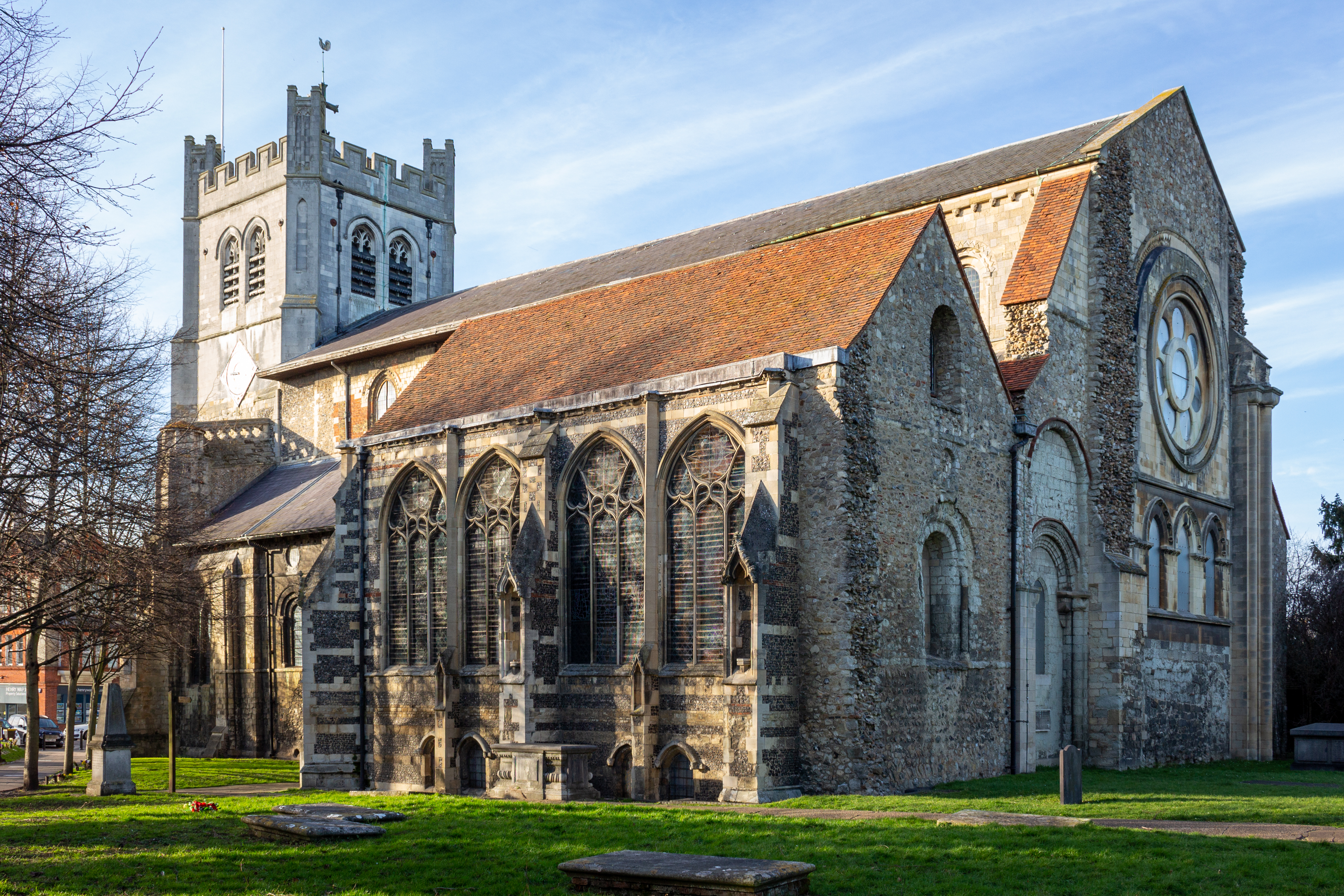
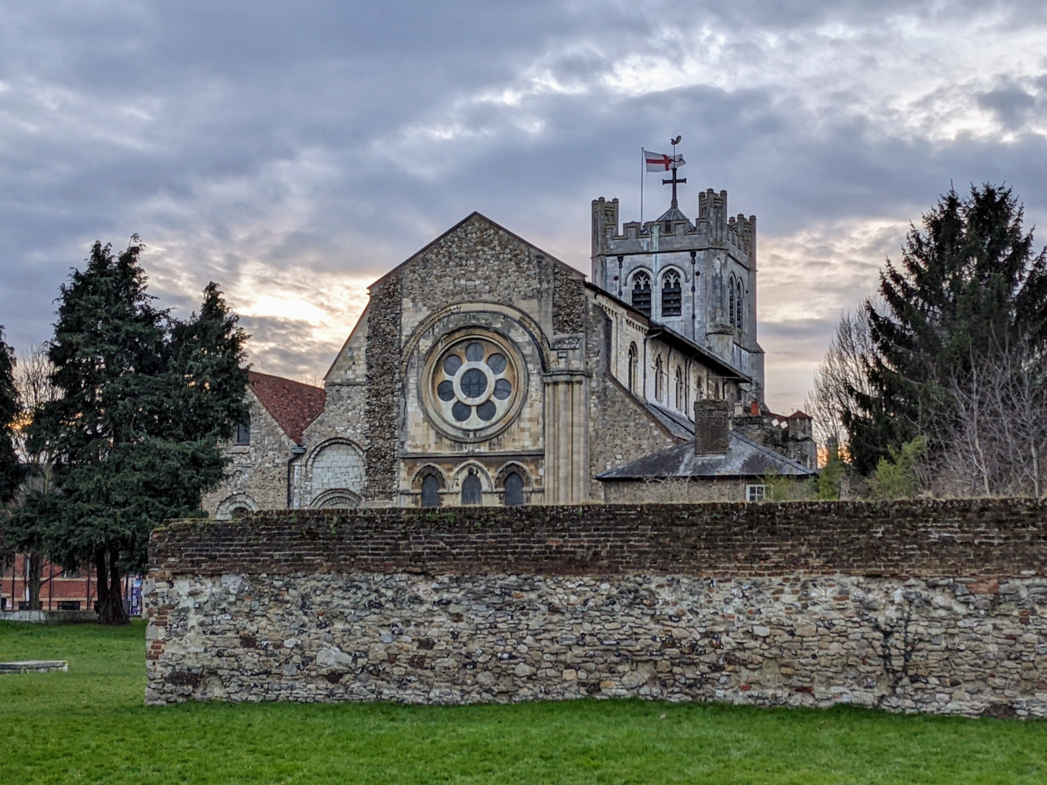
Waltham Abbey Church

The Abbey Church of Waltham Holy Cross and St Lawrence, also known as Waltham Abbey, is the parish church of the town of Waltham Abbey, Essex, England...

Nearby Amenities

Located within 500m of 51.691933,0.032846603
Created By: YahooApplet 1.0
Lat/Long: 51.6888361/0.0281437
Created By: YahooApplet 1.0
Lat/Long: 51.6896327/0.0337163
Created By: YahooApplet 1.0
Lat/Long: 51.6902047/0.033888
Created By: YahooApplet 1.0
Lat/Long: 51.6906303/0.0339738
Created By: YahooApplet 1.0
Lat/Long: 51.6908897/0.0329438
Created By: YahooApplet 1.0
Lat/Long: 51.6915747/0.0296823
Created By: YahooApplet 1.0
Lat/Long: 51.6917743/0.0290815
Created By: YahooApplet 1.0
Lat/Long: 51.6921999/0.0281802
Created By: YahooApplet 1.0
Lat/Long: 51.6925058/0.0275151
Created By: YahooApplet 1.0
Lat/Long: 51.6928517/0.0268069
Created By: YahooApplet 1.0
Lat/Long: 51.6930179/0.0263349
Created By: YahooApplet 1.0
Lat/Long: 51.6930046/0.026013
Created By: YahooApplet 1.0
Lat/Long: 51.688904/0.0330137
Created By: YahooApplet 1.0
Lat/Long: 51.6902458/0.0289433
Created By: YahooApplet 1.0
Lat/Long: 51.6898733/0.0314839
Created By: YahooApplet 1.0
Lat/Long: 51.6893926/0.0324932
Created By: YahooApplet 1.0
Lat/Long: 51.6893373/0.0327904
Turning Circle
Lat/Long: 51.6893485/0.033197
Noexit: yes
Lat/Long: 51.6909467/0.026225
Created By: YahooApplet 1.0
Lat/Long: 51.6915614/0.0263274
Created By: YahooApplet 1.0
Lat/Long: 51.691481/0.0267855
Created By: YahooApplet 1.0
Lat/Long: 51.6921094/0.0258295
Created By: YahooApplet 1.0
Lat/Long: 51.6908151/0.0285399
Noexit: yes
Lat/Long: 51.6905163/0.0271958
Turning Circle
Lat/Long: 51.6907406/0.0298263
Noexit: yes
Lat/Long: 51.6911535/0.0299985
Turning Circle
Lat/Long: 51.6909018/0.0311098
Turning Circle
Lat/Long: 51.6892927/0.0303562
Created By: YahooApplet 1.0
Lat/Long: 51.6905166/0.0340167
Created By: YahooApplet 1.0
Lat/Long: 51.6896087/0.0337832
Created By: YahooApplet 1.0
Lat/Long: 51.6901974/0.0339441
Created By: YahooApplet 1.0
Lat/Long: 51.6899513/0.0362805
Created By: YahooApplet 1.0
Lat/Long: 51.690071/0.035787
Created By: YahooApplet 1.0
Lat/Long: 51.6902107/0.0352184
Created By: YahooApplet 1.0
Lat/Long: 51.6903902/0.0346926
Created By: YahooApplet 1.0
Lat/Long: 51.690542/0.0310126
Created By: YahooApplet 1.0
Lat/Long: 51.6898304/0.0304333
Created By: YahooApplet 1.0
Lat/Long: 51.6895577/0.0304547
Bus Stop
Upshire Shops
Naptan AtcoCode: 1500IM397
Naptan Bearing: N
Naptan CommonName: Upshire Shops
Naptan Indicator: o/s
Naptan Landmark: Upshire Shops
Naptan NaptanCode: esxdgptd
Naptan PlusbusZoneRef: CHESHNT
Naptan Street: Princesfield Road
Naptan Verified: no
Public Transport: platform
Source: naptan_import
Lat/Long: 51.6890409/0.0316072
Post Office
Princesfield Post Office
Addr Postcode: EN9 3PE
Branch: Princesfield
Brand: Post Office
Brand Wikidata: Q1783168
Check Date: 2020-02-20
Contact Website: https://www.postoffice.co.uk/branch-finder/1640054/princesfield
Ref Pol Id: 19276
Lat/Long: 51.6893432/0.0312552
Noexit: yes
Lat/Long: 51.6897129/0.0333792
Noexit: yes
Lat/Long: 51.6912305/0.0284413
Noexit: yes
Lat/Long: 51.6910509/0.031609
Noexit: yes
Lat/Long: 51.6930813/0.0287966
Co-Op
Operator: Co-Op
Shop: supermarket
Lat/Long: 51.6893798/0.0308907
Noexit: yes
Lat/Long: 51.6897154/0.0350351
Noexit: yes
Lat/Long: 51.6886326/0.0280975
Bus Stop
Upshire Shops
Naptan AtcoCode: 1500IM397Y
Naptan BusStopType: CUS
Naptan NaptanCode: esxjmtwg
Naptan Verified: no
Public Transport: platform
Source: naptan
Lat/Long: 51.6889103/0.0319444
Bus Stop
Buxton Road
Naptan AtcoCode: 1500PNR803
Naptan BusStopType: HAR
Naptan NaptanCode: esxjmtgm
Naptan Verified: no
Public Transport: platform
Source: naptan
Lat/Long: 51.6899764/0.0300968
Bus Stop
Amesbury
Naptan AtcoCode: 1500HNR802
Naptan BusStopType: HAR
Naptan NaptanCode: esxjmtgt
Naptan Verified: no
Public Transport: platform
Source: naptan
Lat/Long: 51.6922106/0.0272595
Bus Stop
Amesbury
Naptan AtcoCode: 1500HNR8Y2
Naptan BusStopType: HAR
Naptan NaptanCode: esxjmtgj
Naptan Verified: no
Public Transport: platform
Source: naptan
Lat/Long: 51.6922323/0.0270434
Noexit: yes
Lat/Long: 51.6926379/0.0280674
Noexit: yes
Lat/Long: 51.6934465/0.0283073
Noexit: yes
Lat/Long: 51.6933809/0.0286916
Noexit: yes
Lat/Long: 51.6934327/0.0290654
Noexit: yes
Lat/Long: 51.6938692/0.0271162
Noexit: yes
Lat/Long: 51.694237/0.0284159
Noexit: yes
Lat/Long: 51.6932617/0.0269183
Noexit: yes
Lat/Long: 51.690148/0.0273691
Noexit: yes
Lat/Long: 51.6880402/0.0317906
Noexit: yes
Lat/Long: 51.6881599/0.0309616
Noexit: yes
Lat/Long: 51.6905885/0.0291837
Noexit: yes
Lat/Long: 51.6903325/0.0301197
Noexit: yes
Lat/Long: 51.6900606/0.0317958
Noexit: yes
Lat/Long: 51.6904665/0.0276232
The data included in this document is from www.openstreetmap.org. The data is made available under ODbL.

Have you been to West Hill?

Leave your review of West Hill below (or comments, questions and feedback).