Bummers Hill

Hill, Mountain in Hertfordshire East Hertfordshire

England

Bummers Hill

St Mary, Little Hormead The nave is C11/C12, the bellcote is C15 and the church was restored in 1888.
St Mary, Little Hormead Credit: Bikeboy

Bummers Hill, located in Hertfordshire, England, is a modest hill with an elevation of approximately 100 meters. While it may not be considered a mountain in the traditional sense, it still holds significance for locals and visitors alike.

Situated near the village of Codicote, Bummers Hill offers panoramic views of the surrounding countryside, providing a picturesque escape for those seeking a tranquil setting. The hill is covered in lush greenery, boasting a variety of trees, wildflowers, and wildlife, creating a peaceful and idyllic atmosphere.

At the top of Bummers Hill, there is a small viewing point, allowing visitors to admire the stunning vistas that stretch across the Hertfordshire landscape. On clear days, one can catch glimpses of famous landmarks such as the Wembley Stadium arch and the Shard in London.

This area attracts outdoor enthusiasts who enjoy activities such as hiking, walking, and nature photography. Bummers Hill offers several footpaths and trails that wind through the surrounding woodlands, providing opportunities for exploration and exercise.

The hill's name, Bummers, is believed to have originated from the Old English word "bom," meaning a small hill or mound. Over time, this evolved into "Bummers," giving the hill its distinctive name.

Overall, Bummers Hill in Hertfordshire may not be the tallest or most renowned peak, but it charms visitors with its natural beauty, peaceful ambiance, and breathtaking views, making it an ideal destination for nature lovers and those seeking a respite from the hustle and bustle of everyday life.

If you have any feedback on the listing, please let us know in the comments section below.

Bummers Hill Images

Images are sourced within 2km of 51.939313/0.032707307 or Grid Reference TL3928. Thanks to Geograph Open Source API. All images are credited.

St Mary, Little Hormead The nave is C11/C12, the bellcote is C15 and the church was restored in 1888.
St Mary, Little Hormead
The nave is C11/C12, the bellcote is C15 and the church was restored in 1888.
St Mary, Little Hormead (2) The nave is C11/C12, the bellcote is C15 and the church was restored in 1888
St Mary, Little Hormead (2)
The nave is C11/C12, the bellcote is C15 and the church was restored in 1888
St Nicholas, Great Hormead Some parts of the church are C14, but it was heavily restored in C19.
St Nicholas, Great Hormead
Some parts of the church are C14, but it was heavily restored in C19.
Disused L & M Bentley Shell petrol station, Hare Street
House on the B1368, Hare Street
Cottages in Hare Street
Non-existent footpath To be fair, it's a dead-end footpath that stops at a parish boundary.
Non-existent footpath
To be fair, it's a dead-end footpath that stops at a parish boundary.
Old Milestone by the B1368, Hare Street, Hormead parish Metal plate attached to stone post by the B1368, in parish of HORMEAD (EAST HERTFORDSHIRE District), Hare Street, opposite Old Bakery, on the verge, on West side of road. Wadesmill plate, erected by the Wadesmill turnpike trust in the 19th century. 

Inscription reads:-
LONDON
31
WARE
10
BARKWAY
4

Grade II listed.  
List Entry Number: 1101817 <span class="nowrap"><a title="https://historicengland.org.uk/listing/the-list/list-entry/1101817" rel="nofollow ugc noopener" href="https://historicengland.org.uk/listing/the-list/list-entry/1101817">Link</a><img style="margin-left:2px;" alt="External link" title="External link - shift click to open in new window" src="https://s1.geograph.org.uk/img/external.png" width="10" height="10"/></span>

Milestone Society National ID: HE_LKX31.
Old Milestone by the B1368, Hare Street, Hormead parish
Metal plate attached to stone post by the B1368, in parish of HORMEAD (EAST HERTFORDSHIRE District), Hare Street, opposite Old Bakery, on the verge, on West side of road. Wadesmill plate, erected by the Wadesmill turnpike trust in the 19th century. Inscription reads:- LONDON 31 WARE 10 BARKWAY 4 Grade II listed. List Entry Number: 1101817 LinkExternal link Milestone Society National ID: HE_LKX31.
B1368 through Dassells The B1368 heads to Hare Street and points north.
B1368 through Dassells
The B1368 heads to Hare Street and points north.
B1368 north towards Hare Street The village may be glimpsed ahead down the hill.
B1368 north towards Hare Street
The village may be glimpsed ahead down the hill.
B1368, Hare Street Heading north towards Cambridge.
B1368, Hare Street
Heading north towards Cambridge.
B1038 east towards Great Hornmead
B1368, Hare Street Heading north past The Beehive.
B1368, Hare Street
Heading north past The Beehive.
Old Milestone by the B1368, Dassel's Hill, Hormead parish Metal plate (broken) attached to stone post by the B1368, in parish of Hormead (East Hertfordshire District), by Stonebury Farm, Dassels, on the verge, on West side of road. Wadesmill plate, erected by the Wadesmill turnpike trust in the 19th century. 

Inscription reads:-
LO(NDON)
30
WARE
9
BARKWAY
5

Grade II listed.  
List Entry Number: 1101851 <span class="nowrap"><a title="https://historicengland.org.uk/listing/the-list/list-entry/1101851" rel="nofollow ugc noopener" href="https://historicengland.org.uk/listing/the-list/list-entry/1101851">Link</a><img style="margin-left:2px;" alt="External link" title="External link - shift click to open in new window" src="https://s1.geograph.org.uk/img/external.png" width="10" height="10"/></span>

Milestone Society National ID: HE_LKX30
Old Milestone by the B1368, Dassel's Hill, Hormead parish
Metal plate (broken) attached to stone post by the B1368, in parish of Hormead (East Hertfordshire District), by Stonebury Farm, Dassels, on the verge, on West side of road. Wadesmill plate, erected by the Wadesmill turnpike trust in the 19th century. Inscription reads:- LO(NDON) 30 WARE 9 BARKWAY 5 Grade II listed. List Entry Number: 1101851 LinkExternal link Milestone Society National ID: HE_LKX30
Biggin Hill, Hare Street
Howe Engineering, Hare Street It's actually a garage
Howe Engineering, Hare Street
It's actually a garage
Worsted Lane, Hare Street
Duck Street, Little Hormead
Show me another place!

Bummers Hill is located at Grid Ref: TL3928 (Lat: 51.939313, Lng: 0.032707307)

Administrative County: Hertfordshire

District: East Hertfordshire

Police Authority: Hertfordshire

What 3 Words

///diggers.pumps.poorly. Near Buntingford, Hertfordshire

Related Wikis

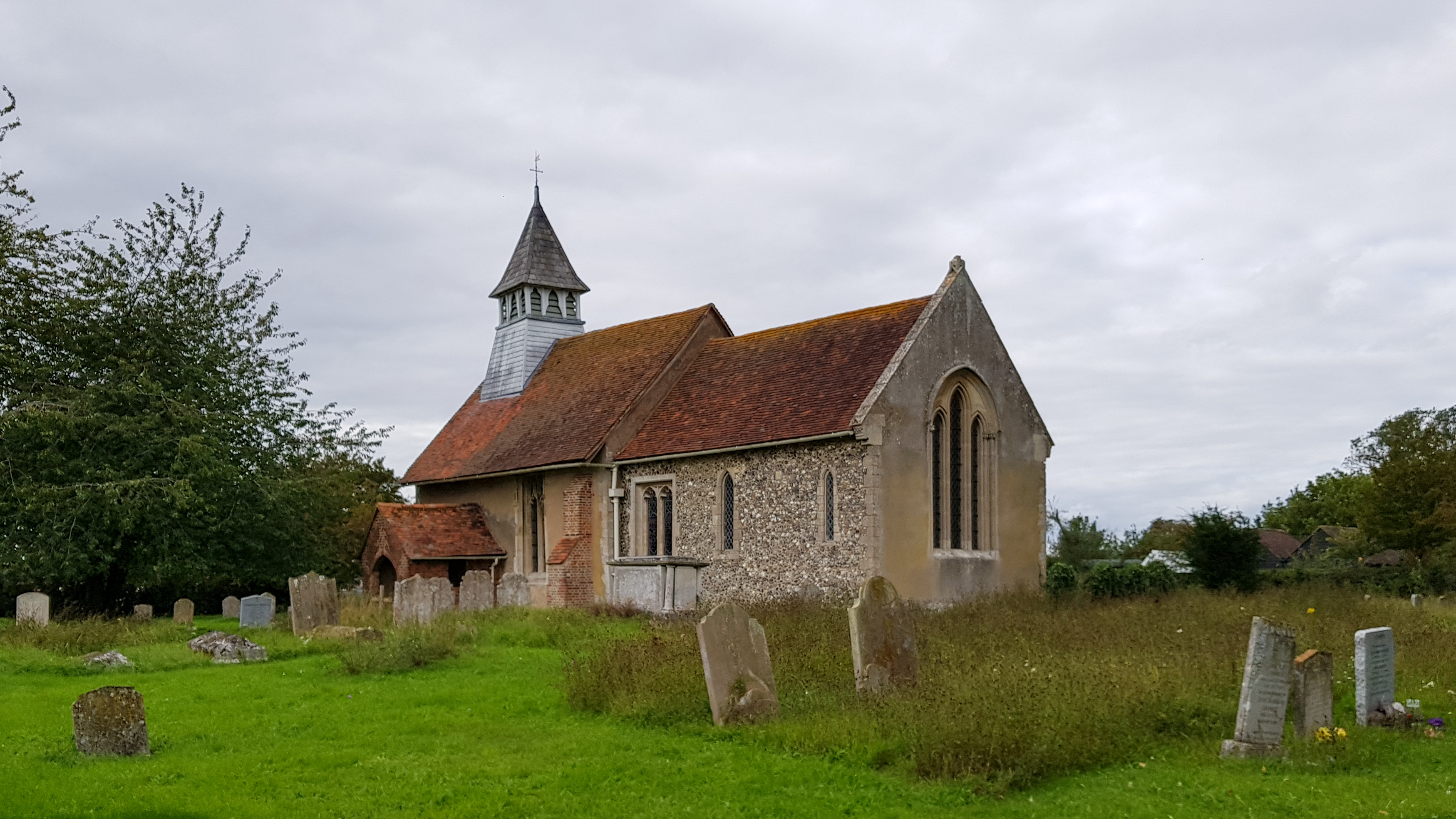
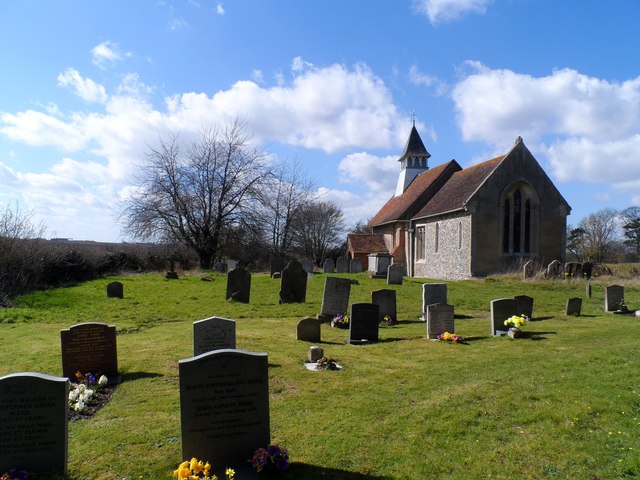
St Mary's Church, Little Hormead

St Mary's Church is a redundant Anglican church in the village of Little Hormead, Hertfordshire, England. It is recorded in the National Heritage List...

Little Hormead

Little Hormead is a village and former civil parish in the English county of Hertfordshire. It is a few miles away from the small town of Buntingford and...

Hormead

Hormead is a civil parish in Hertfordshire, England. It comprises the villages of Great Hormead and Little Hormead and the hamlet of Hare Street and lies...
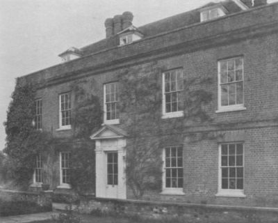
Hare Street House

Hare Street House is a Grade II* listed building in the hamlet of Hare Street that lies between Buntingford and Great Hormead in the East Hertfordshire...

Dassels

Dassels is a hamlet in the district of East Hertfordshire, in the county of Hertfordshire. Nearby settlements include the town of Ware and the village...
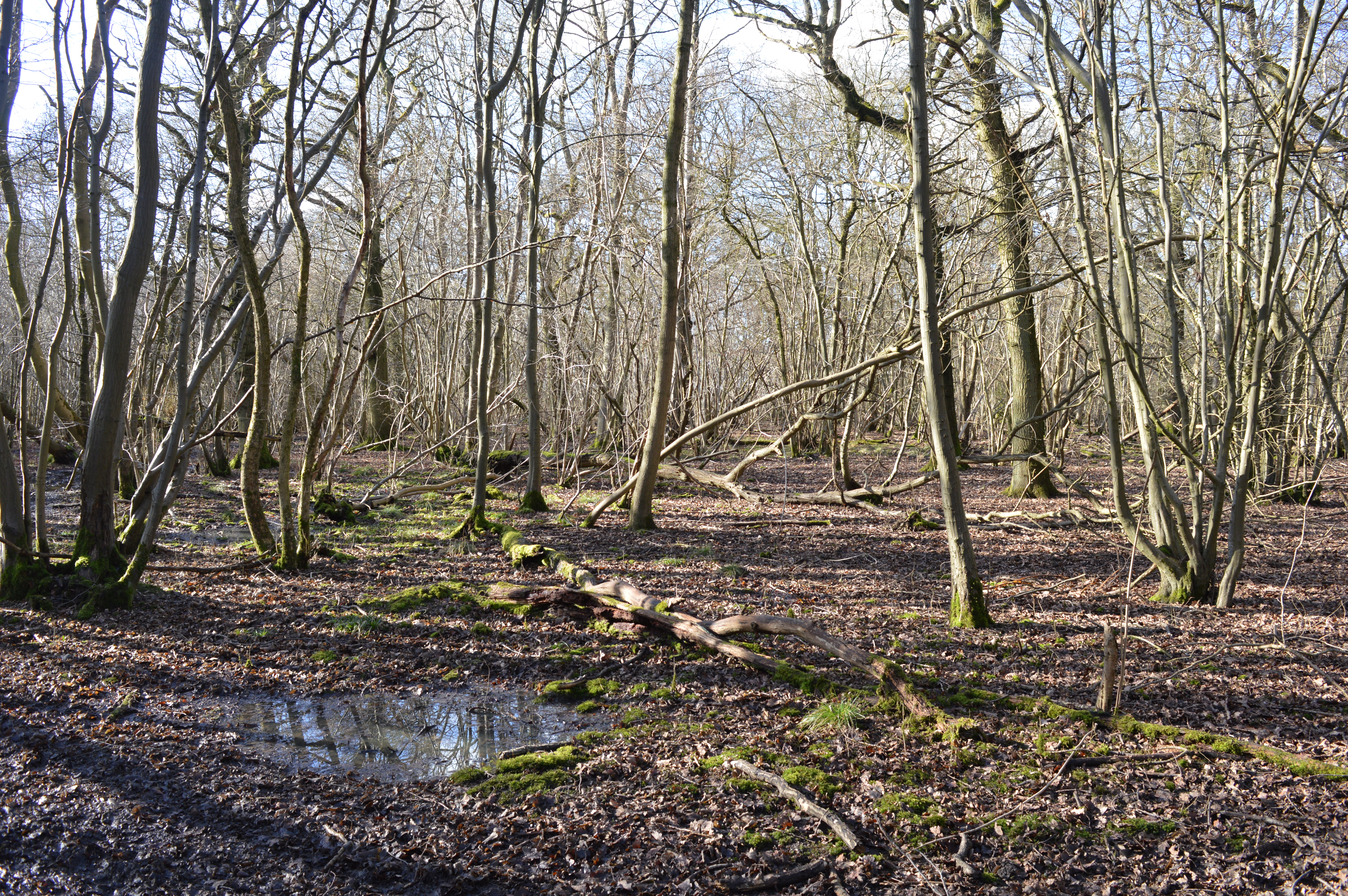
Great Hormead Park

Great Hormead Park is a 15 hectare biological Site of Special Scientific Interest near Great Hormead in Hertfordshire. The local planning authority is...

Bozen Green

Bozen Green is a hamlet in Hertfordshire, England. It includes the lost settlement of Bordesden. It is in the civil parish of Braughing

Wyddial

Wyddial is a village and civil parish in the East Hertfordshire district of Hertfordshire, England. It is located around a mile and a half north-east of...

Nearby Amenities

Located within 500m of 51.939313,0.032707307
Little Hormead
Place: hamlet
Wikidata: Q6650354
Lat/Long: 51.9420762/0.0376469
Addr Housename: Balons Farm
Lat/Long: 51.9416121/0.0362409
Power: pole
Lat/Long: 51.9366334/0.0349828
Power: pole
Lat/Long: 51.9369393/0.0358518
Power: pole
Lat/Long: 51.9372622/0.0367694
Power: pole
Ref: 413/12
Source: GPS
Lat/Long: 51.9377106/0.0380293
Power: pole
Ref: 413/11
Source: GPS
Lat/Long: 51.9383267/0.0389471
Power: pole
Ref: 413/10
Source: GPS
Lat/Long: 51.9390157/0.0398906
Bench
Backrest: yes
Check Date: 2021-09-19
Material: wood
Lat/Long: 51.9427065/0.0336372
Information: guidepost
Tourism: information
Lat/Long: 51.9422589/0.0349645
Information: guidepost
Tourism: information
Lat/Long: 51.9379597/0.0358738
Information: guidepost
Tourism: information
Lat/Long: 51.9388848/0.03981
The data included in this document is from www.openstreetmap.org. The data is made available under ODbL.

Have you been to Bummers Hill?

Leave your review of Bummers Hill below (or comments, questions and feedback).