Goffers Knoll
Hill, Mountain in Cambridgeshire South Cambridgeshire
England
Goffers Knoll
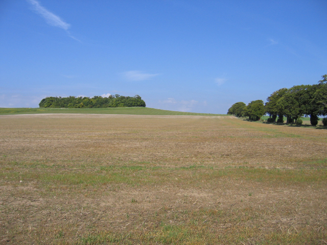
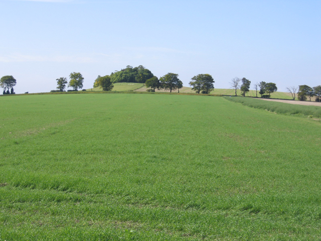
Goffers Knoll is a small hill located in Cambridgeshire, a county in the eastern part of England. Situated near the village of Goffers Knoll, it is a prominent natural feature in the otherwise flat landscape of the region. Despite being referred to as a hill, Goffers Knoll is relatively modest in size, standing at an elevation of only 100 meters (328 feet) above sea level.
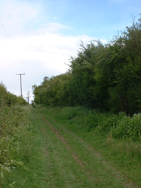
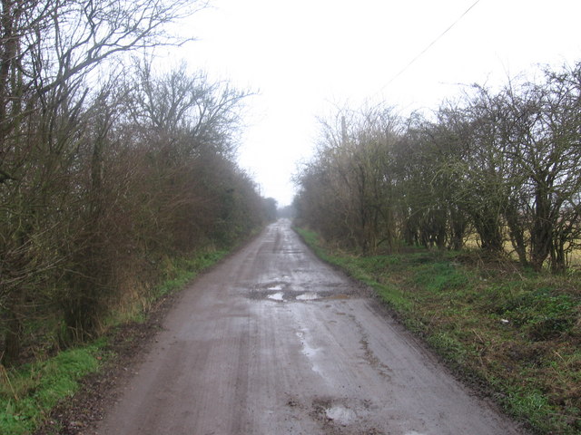
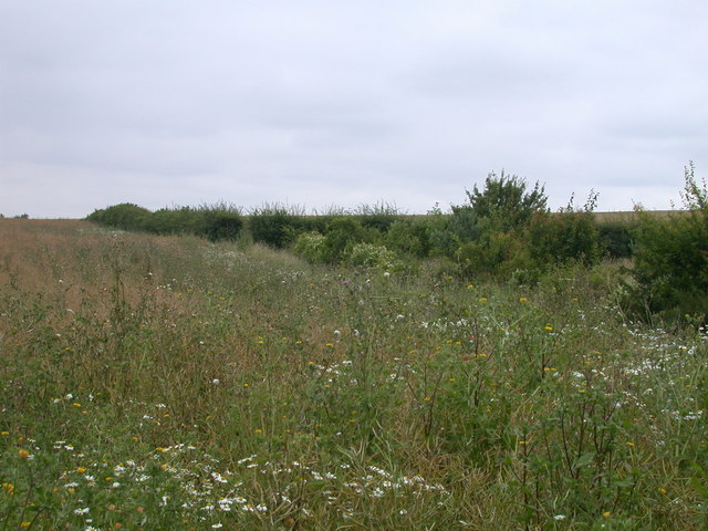
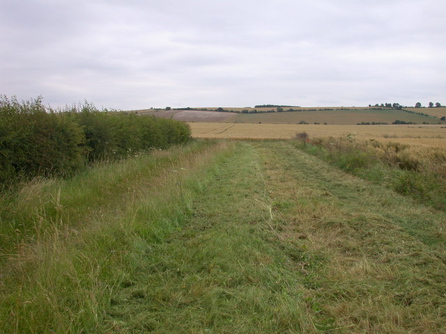
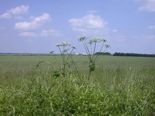
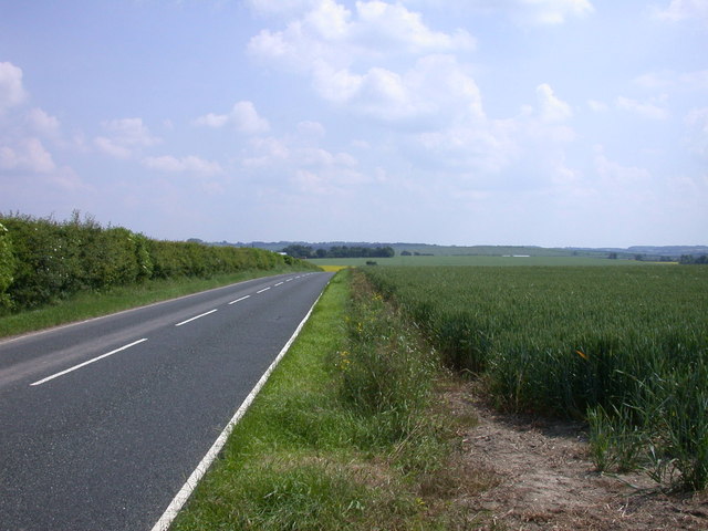
The hill is known for its picturesque surroundings, with lush green fields and meadows stretching out in all directions. It offers visitors stunning panoramic views of the surrounding countryside, providing a tranquil and peaceful atmosphere. The summit of Goffers Knoll is accessible by foot, with a well-maintained footpath leading up to the top.
Goffers Knoll is a popular destination for hikers and nature enthusiasts, who can enjoy leisurely walks or more challenging hikes in the area. The hill is also home to a diverse range of flora and fauna, including various species of birds, butterflies, and wildflowers, making it a great spot for wildlife observation and photography.
Although not particularly renowned for its historical significance, Goffers Knoll has a distinct charm that adds to its appeal. Its peaceful and idyllic setting offers a welcome escape from the hustle and bustle of everyday life, making it a popular destination for locals and tourists alike who seek to connect with nature and enjoy the beauty of the Cambridgeshire countryside.
If you have any feedback on the listing, please let us know in the comments section below.
Goffers Knoll Images
Images are sourced within 2km of 52.062123/0.024580494 or Grid Reference TL3842. Thanks to Geograph Open Source API. All images are credited.


Goffers Knoll is located at Grid Ref: TL3842 (Lat: 52.062123, Lng: 0.024580494)
Administrative County: Cambridgeshire
District: South Cambridgeshire
Police Authority: Cambridgeshire
What 3 Words
///spellings.civic.century. Near Melbourn, Cambridgeshire
Nearby Locations
Related Wikis

Goffers Knoll
Goffers Knoll is a prominent knoll on the Hertfordshire-Cambridgeshire border in the east of England, to the east of the town of Royston and south of Melbourn...

Flint Cross
Flint Cross is a hamlet and crossroads in South Cambridgeshire, in the English county of Cambridgeshire. It is in the south of the district, where the...

Melbourn
Melbourn () is a large, clustered village in the far south-west of Cambridgeshire, England. Its traditional high street is bypassed by the A10, intersecting...

Meridian School, Royston
The Meridian School was a secondary school and sixth form located in Royston, Hertfordshire, England. It was an academy, and had approximately 474 registered...
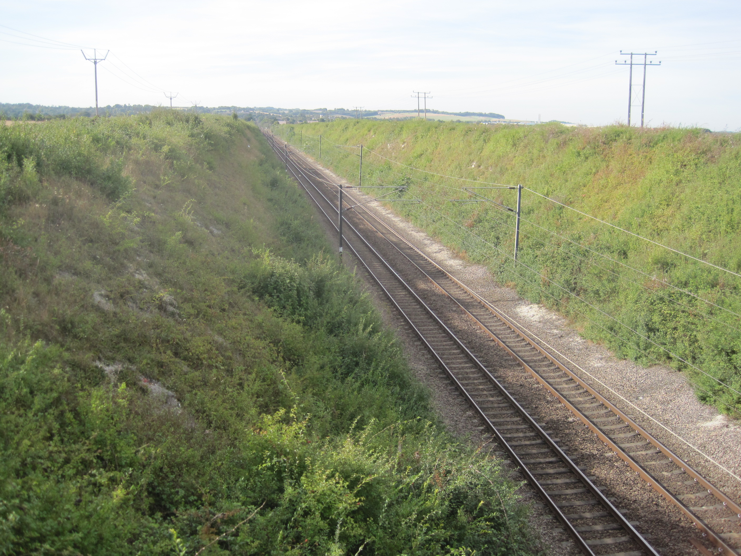
Holland Hall (Melbourn) Railway Cutting
Holland Hall (Melbourn) Railway Cutting is a 3.3-hectare (8.2-acre) biological Site of Special Scientific Interest near Melbourn in Cambridgeshire. It...
King James Academy Royston
King James Academy Royston (KJAR) is a through school located in Royston, Hertfordshire, England. It is an academy, and opened in September 2019, as a...
Greneway Middle School, Royston
The Greneway Middle School was a middle school in Royston, Hertfordshire, England, which has been combined with Roysia Middle School and Meridian School...
Icknield Walk First School
Icknield Walk First School is a larger than average first school located in Royston, Hertfordshire, England. It has approximately 335 registered students...
Nearby Amenities
Located within 500m of 52.062123,0.024580494Have you been to Goffers Knoll?
Leave your review of Goffers Knoll below (or comments, questions and feedback).