Craft's Hill

Hill, Mountain in Cambridgeshire South Cambridgeshire

England

Craft's Hill

Dry Drayton, SS Peter and Paul <span class="nowrap"><a title="http://www.druidic.org/camchurch/churches/drydrayton.htm" rel="nofollow ugc noopener" href="http://www.druidic.org/camchurch/churches/drydrayton.htm">Link</a><img style="margin-left:2px;" alt="External link" title="External link - shift click to open in new window" src="https://s1.geograph.org.uk/img/external.png" width="10" height="10"/></span>
Dry Drayton, SS Peter and Paul Credit: mym

Craft's Hill is a prominent geographical feature located in Cambridgeshire, England. Despite its name, Craft's Hill is not actually a hill but rather a small elevated area that is best described as a gentle rise in the otherwise flat landscape of the region. It is situated near the village of Crafton, which lies approximately 10 miles south of the city of Cambridge.

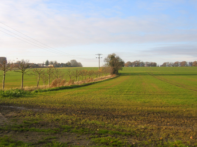
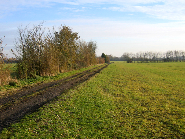
This geological formation is characterized by its grassy slopes, which are adorned with a variety of wildflowers during the spring and summer months. The summit of Craft's Hill offers picturesque views of the surrounding countryside, with its patchwork of fields and hedgerows stretching out as far as the eye can see.

Craft's Hill is a popular destination for outdoor enthusiasts, particularly walkers and hikers, who enjoy exploring the tranquil countryside that surrounds it. The area is crisscrossed by a network of footpaths and bridleways, providing ample opportunities for leisurely strolls or more vigorous hikes.

In addition to its natural beauty, Craft's Hill also holds historical significance. It is said to have been named after a local craftsman who used to reside in the area many centuries ago. The hill has witnessed the passing of time, silently observing the changes that have occurred in the landscape and the lives of the people who have called this region home.

Overall, Craft's Hill is a charming and unassuming landmark in Cambridgeshire, offering visitors a chance to escape the hustle and bustle of urban life and immerse themselves in the tranquility of the English countryside.

If you have any feedback on the listing, please let us know in the comments section below.
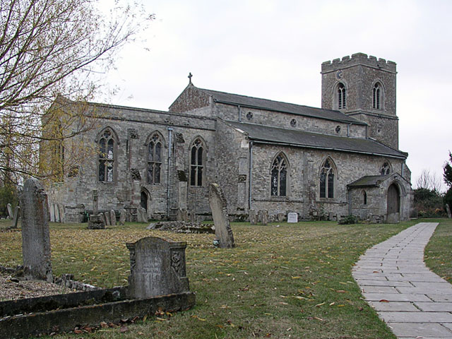
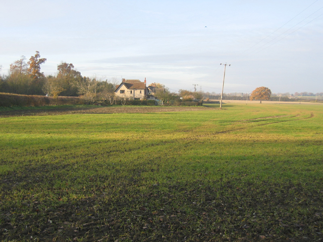
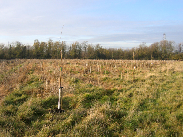
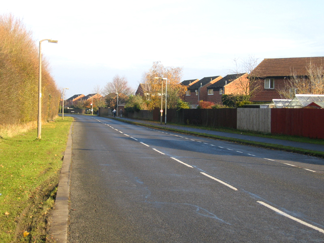
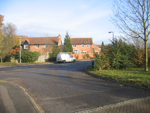
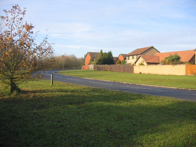
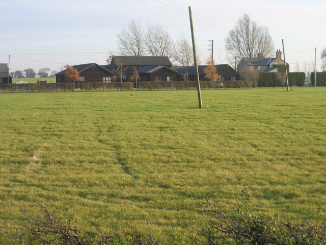
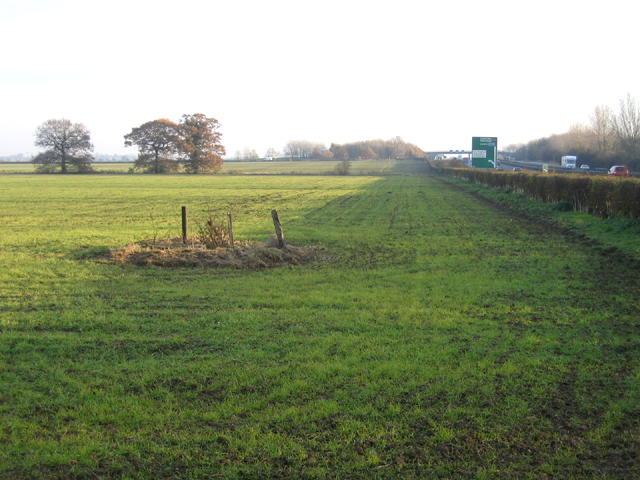
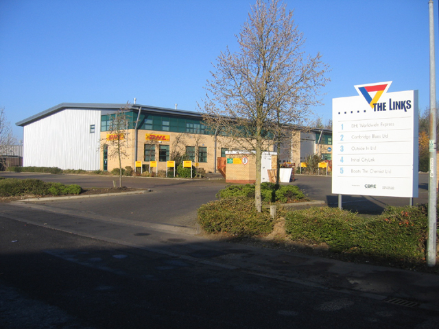
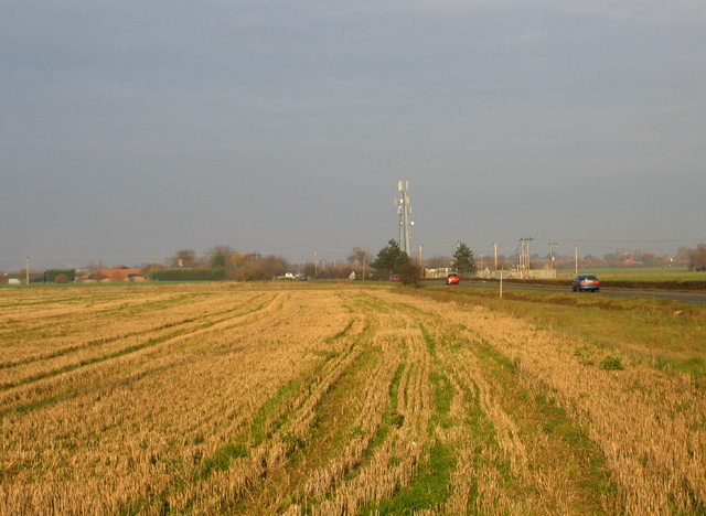
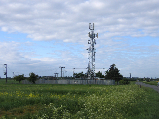
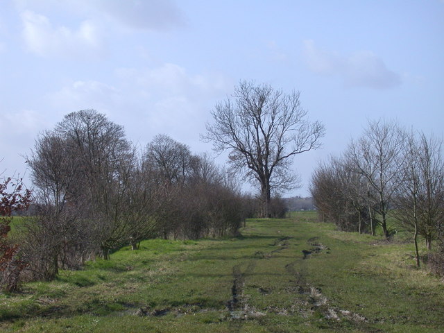
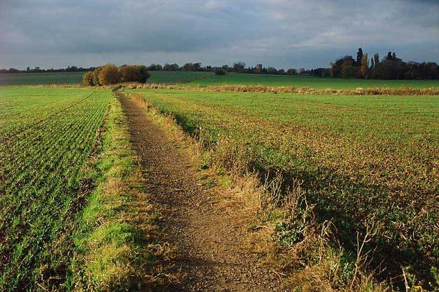
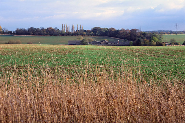
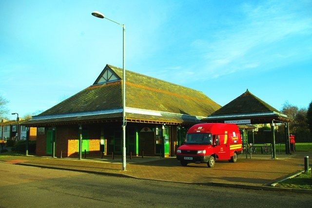
Craft's Hill Images

Images are sourced within 2km of 52.248757/0.028819091 or Grid Reference TL3863. Thanks to Geograph Open Source API. All images are credited.

Dry Drayton, SS Peter and Paul <span class="nowrap"><a title="http://www.druidic.org/camchurch/churches/drydrayton.htm" rel="nofollow ugc noopener" href="http://www.druidic.org/camchurch/churches/drydrayton.htm">Link</a><img style="margin-left:2px;" alt="External link" title="External link - shift click to open in new window" src="https://s1.geograph.org.uk/img/external.png" width="10" height="10"/></span>
Dry Drayton, SS Peter and Paul
Farmland and cottages, Madingley, Cambs – view NW, from the bridlepath, of New Farm and cottages on the Dry Drayton Road.
Farmland and cottages, Madingley, Cambs
– view NW, from the bridlepath, of New Farm and cottages on the Dry Drayton Road.
New plantation, Dry Drayton, Cambs – in neat rows, just north of Madingley Road.
New plantation, Dry Drayton, Cambs
– in neat rows, just north of Madingley Road.
Saxon Way, Bar Hill, Cambs Saxon Way skirts the western part of the settlement, just south of the A14 road; the belt of trees (left) separates the housing estates from the open countryside and village of Lolworth.
Saxon Way, Bar Hill, Cambs
Saxon Way skirts the western part of the settlement, just south of the A14 road; the belt of trees (left) separates the housing estates from the open countryside and village of Lolworth.
Crafts Way, Bar Hill, Cambs View N of Crafts Hill and the perimeter road from Thruffle Way.
Crafts Way, Bar Hill, Cambs
View N of Crafts Hill and the perimeter road from Thruffle Way.
Saxon Way, Bar Hill, Cambs – view of the perimeter road at the southern end of the village.
Saxon Way, Bar Hill, Cambs
– view of the perimeter road at the southern end of the village.
Farmland, Dry Drayton, Cambs – view NW towards the centre of the square from the Oakington Road.
Farmland, Dry Drayton, Cambs
– view NW towards the centre of the square from the Oakington Road.
Farm track and farmland, Dry Drayton, Cambs – view SE of Dry Drayton Estate farmland from the Oakington Road.
Farm track and farmland, Dry Drayton, Cambs
– view SE of Dry Drayton Estate farmland from the Oakington Road.
New Close Farm Business Park, Longstanton, Cambs – view from the B1050 Hatton's Road.
New Close Farm Business Park, Longstanton, Cambs
– view from the B1050 Hatton's Road.
A14 road and farmland, Oakington, Cambs – view SE along the A14 towards the Dry Drayton junction with Slate Hall farmland down to winter cereals.
A14 road and farmland, Oakington, Cambs
– view SE along the A14 towards the Dry Drayton junction with Slate Hall farmland down to winter cereals.
The Links trading estate, Bar Hill, Cambs Bar Hill is a compact, modern, planned village founded in 1967; the Links is in the SE corner of the square adjacent to the A14 road.
The Links trading estate, Bar Hill, Cambs
Bar Hill is a compact, modern, planned village founded in 1967; the Links is in the SE corner of the square adjacent to the A14 road.
Farmland beside Hatton's Road, Longstanton, Cambs – view NE along the B1050 towards the village from the centre of the square; the prominent mast is just inside TL3865.
Farmland beside Hatton's Road, Longstanton, Cambs
– view NE along the B1050 towards the village from the centre of the square; the prominent mast is just inside TL3865.
Communications mast, Longstanton, Cambs a prominent feature beside Hatton's Road from the A14 Bar Hill junction.
Communications mast, Longstanton, Cambs
a prominent feature beside Hatton's Road from the A14 Bar Hill junction.
Bridleway near to Bar Hill, Cambridgeshire Public Bridleway leading from Longstanton to the Huntingdon Road near Bar Hill. Suitable for horses or 4x4s -  not pedestrians or cyclists like the photographer!
Bridleway near to Bar Hill, Cambridgeshire
Public Bridleway leading from Longstanton to the Huntingdon Road near Bar Hill. Suitable for horses or 4x4s - not pedestrians or cyclists like the photographer!
Footpath to Lolworth from Bar Hill This surfaced path provides good walking even in the wettest of winters when fields are waterlogged.
Footpath to Lolworth from Bar Hill
This surfaced path provides good walking even in the wettest of winters when fields are waterlogged.
Fields of Rectory Farm A view back towards Dry Drayton from the footpath from Dry Drayton towards Lolworth
Fields of Rectory Farm
A view back towards Dry Drayton from the footpath from Dry Drayton towards Lolworth
Bar Hill Library and Post Office The first example of a combined library and post office in the UK.  When their original post office closed, the four thousand residents of Bar Hill were left with a trek to tiny Lolworth (population 160) for the nearest alternative facilities until the library service came to the rescue by offering space for a post office counter.
Bar Hill Library and Post Office
The first example of a combined library and post office in the UK. When their original post office closed, the four thousand residents of Bar Hill were left with a trek to tiny Lolworth (population 160) for the nearest alternative facilities until the library service came to the rescue by offering space for a post office counter.
The entrance to Searles Meadow, Dry Drayton The houses were built in 1988 on the site of farm buildings of the farmer Ben Searle.
The entrance to Searles Meadow, Dry Drayton
The houses were built in 1988 on the site of farm buildings of the farmer Ben Searle.
Show me another place!

Craft's Hill is located at Grid Ref: TL3863 (Lat: 52.248757, Lng: 0.028819091)

Administrative County: Cambridgeshire

District: South Cambridgeshire

Police Authority: Cambridgeshire

What 3 Words

///juniors.thighs.remarked. Near Bar Hill, Cambridgeshire

Related Wikis

Bar Hill

Bar Hill is a purpose-built village with a population of 4,000 about 4 miles (7 km) northwest of Cambridge, England on the A14 road, just east of the Prime...

Dry Drayton

Dry Drayton is a village and civil parish about 5 miles (8 km) northwest of Cambridge in Cambridgeshire, England, listed as Draitone in the Domesday Book...

Lolworth

Lolworth is a small village and civil parish in the district of South Cambridgeshire, in the county of Cambridgeshire, England, located approximately 8...

University of Cambridge Institute of Continuing Education

The University of Cambridge Institute of Continuing Education (ICE) is a department of the University of Cambridge dedicated to providing continuing education...
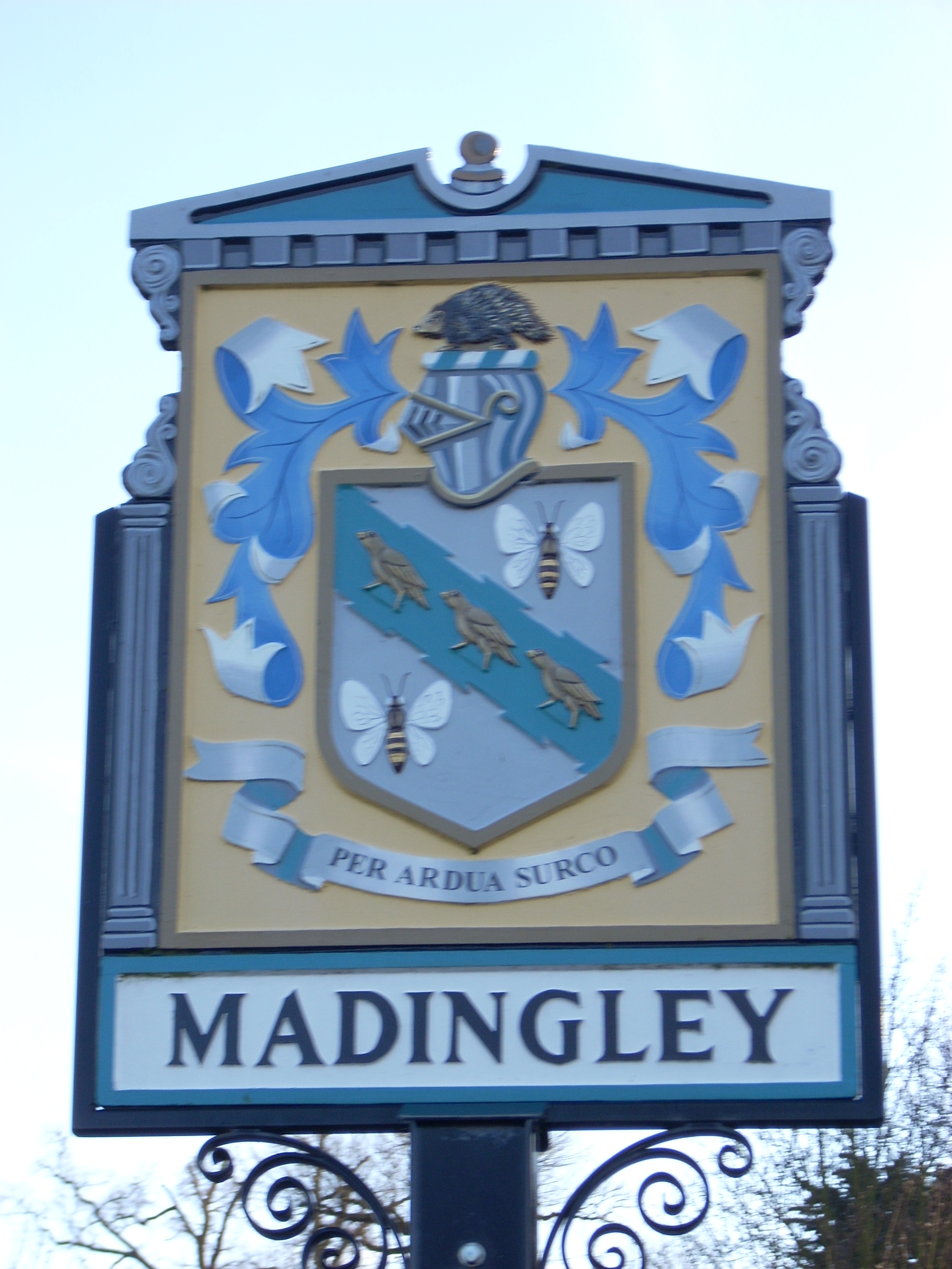
Madingley

Madingley is a small village near Cambridge, England. It is located close to the nearby villages of Coton and Dry Drayton on the western outskirts of Cambridge...

Oakington

Oakington is a small rural Anglo-Saxon village and former civil parish, now in the parish of Oakington and Westwick, in the South Cambridgeshire district...

St Michael's Church, Longstanton

St Michael's Church is a redundant Anglican church in the village of Longstanton, Cambridgeshire, England. It is recorded in the National Heritage List...

Childerley

Childerley, also known as Great Childerley and Little Childerly, was a small rural village in the county of Cambridgeshire in the East of England, United...

Nearby Amenities

Located within 500m of 52.248757,0.028819091
Kerb: no
Lat/Long: 52.2485021/0.0264341
Post Box
Collection Times: Mo-Fr 16:00, Sa 11:45
Operator: Royal Mail
Post Box Type: lamp
Ref: CB23 214
Royal Cypher: EIIR
Royal Cypher Wikidata: Q33102113
Source: survey
Lat/Long: 52.2530808/0.02834
Post Box
Collection Times: Mo-Fr 09:00, Sa 07:00
Operator: Royal Mail
Post Box Type: lamp
Ref: CB23 217D
Royal Cypher: EIIR
Royal Cypher Wikidata: Q33102113
Source: survey
Lat/Long: 52.2488388/0.0252097
Bus Stop
Chestnut Rise
Bench: no
Bin: yes
Bus: yes
Lit: yes
Naptan AtcoCode: 0500SBARH006
Naptan Bearing: NE
Naptan CommonName: Chestnut Rise
Naptan Indicator: near
Naptan Landmark: Chestnut Rise
Naptan NaptanCode: cmbdtpaj
Naptan PlusbusZoneRef: CAMBDGE
Naptan ShortCommonName: Chestnut Rise
Naptan Street: Crafts Way
Naptan Verified: no
Public Transport: platform
Shelter: yes
Source: naptan_import
Tactile Paving: no
Lat/Long: 52.2490521/0.0288889
Bus Stop
Hill Crest
Bench: no
Bin: yes
Bus: yes
Lit: yes
Naptan AtcoCode: 0500SBARH009
Naptan Bearing: E
Naptan CommonName: Hill Crest
Naptan Indicator: near
Naptan Landmark: Hill Crest
Naptan NaptanCode: cmbdtpat
Naptan PlusbusZoneRef: CAMBDGE
Naptan ShortCommonName: Hill Crest
Naptan Street: Crafts Way
Naptan Verified: no
Public Transport: platform
Shelter: yes
Source: naptan_import
Tactile Paving: no
Lat/Long: 52.2487775/0.0249794
Bus Stop
Hollytrees
Bench: no
Bin: yes
Bus: yes
Lit: yes
Naptan AtcoCode: 0500SBARH013
Naptan NaptanCode: CMBGMPJA
Public Transport: platform
Shelter: yes
Tactile Paving: no
Lat/Long: 52.2528029/0.0286743
Fixme: Survey for panel type
Generator Method: photovoltaic
Generator Output Electricity: yes
Generator Source: solar
Generator Type: solar_photovoltaic_panel
Location: roof
Power: generator
Lat/Long: 52.2496882/0.0295536
Fixme: Survey for panel type
Generator Method: photovoltaic
Generator Output Electricity: yes
Generator Source: solar
Generator Type: solar_photovoltaic_panel
Location: roof
Power: generator
Lat/Long: 52.2495847/0.0288616
Fixme: Survey for panel type
Generator Method: photovoltaic
Generator Output Electricity: yes
Generator Source: solar
Generator Type: solar_photovoltaic_panel
Location: roof
Power: generator
Lat/Long: 52.2496767/0.029221
Fixme: Survey for panel type
Generator Method: photovoltaic
Generator Output Electricity: yes
Generator Source: solar
Generator Type: solar_photovoltaic_panel
Location: roof
Power: generator
Lat/Long: 52.2499214/0.0293953
Fixme: Survey for panel type
Generator Method: photovoltaic
Generator Output Electricity: yes
Generator Source: solar
Generator Type: solar_photovoltaic_panel
Location: roof
Power: generator
Lat/Long: 52.2501003/0.0294383
Fixme: Survey for panel type
Generator Method: photovoltaic
Generator Output Electricity: yes
Generator Source: solar
Generator Type: solar_photovoltaic_panel
Location: roof
Power: generator
Lat/Long: 52.2488408/0.0304414
Fixme: Survey for panel type
Generator Method: photovoltaic
Generator Output Electricity: yes
Generator Source: solar
Generator Type: solar_photovoltaic_panel
Location: roof
Power: generator
Lat/Long: 52.2492395/0.0267594
Fixme: Survey for panel type
Generator Method: photovoltaic
Generator Output Electricity: yes
Generator Source: solar
Generator Type: solar_photovoltaic_panel
Location: roof
Power: generator
Lat/Long: 52.2494805/0.0254726
Fixme: Survey for panel type
Generator Method: photovoltaic
Generator Output Electricity: yes
Generator Source: solar
Generator Type: solar_photovoltaic_panel
Location: roof
Power: generator
Lat/Long: 52.2495466/0.025938
Fixme: Survey for panel type
Generator Method: photovoltaic
Generator Output Electricity: yes
Generator Source: solar
Generator Type: solar_photovoltaic_panel
Location: roof
Power: generator
Lat/Long: 52.2498853/0.0261049
Fixme: Survey for panel type
Generator Method: photovoltaic
Generator Output Electricity: yes
Generator Solar Modules: 15
Generator Source: solar
Generator Type: solar_photovoltaic_panel
Location: roof
Power: generator
Lat/Long: 52.249863/0.0254016
Fixme: Survey for panel type
Generator Method: photovoltaic
Generator Output Electricity: yes
Generator Source: solar
Generator Type: solar_photovoltaic_panel
Location: roof
Power: generator
Lat/Long: 52.2505897/0.0288374
Fixme: Survey for panel type
Generator Method: photovoltaic
Generator Output Electricity: yes
Generator Source: solar
Generator Type: solar_photovoltaic_panel
Location: roof
Power: generator
Lat/Long: 52.2509879/0.0280918
Fixme: Survey for panel type
Generator Method: photovoltaic
Generator Output Electricity: yes
Generator Source: solar
Generator Type: solar_photovoltaic_panel
Location: roof
Power: generator
Lat/Long: 52.2512005/0.0293417
Fixme: Survey for panel type
Generator Method: photovoltaic
Generator Output Electricity: yes
Generator Source: solar
Generator Type: solar_photovoltaic_panel
Location: roof
Power: generator
Lat/Long: 52.2525715/0.0282826
Fixme: Survey for panel type
Generator Method: photovoltaic
Generator Output Electricity: yes
Generator Source: solar
Generator Type: solar_photovoltaic_panel
Location: roof
Power: generator
Lat/Long: 52.2521939/0.0262924
Fixme: Survey for panel type
Generator Method: photovoltaic
Generator Output Electricity: yes
Generator Source: solar
Generator Type: solar_photovoltaic_panel
Location: roof
Power: generator
Lat/Long: 52.2523039/0.026043
Fixme: Survey for panel type
Generator Method: photovoltaic
Generator Output Electricity: yes
Generator Source: solar
Generator Type: solar_photovoltaic_panel
Location: roof
Power: generator
Lat/Long: 52.2524366/0.0265505
Fixme: Survey for panel type
Generator Method: photovoltaic
Generator Output Electricity: yes
Generator Source: solar
Generator Type: solar_photovoltaic_panel
Location: roof
Power: generator
Lat/Long: 52.2524925/0.0264218
Fixme: Survey for panel type
Generator Method: photovoltaic
Generator Output Electricity: yes
Generator Source: solar
Generator Type: solar_photovoltaic_panel
Location: roof
Power: generator
Lat/Long: 52.2525466/0.0263145
Fixme: Survey for panel type
Generator Method: photovoltaic
Generator Output Electricity: yes
Generator Source: solar
Generator Type: solar_photovoltaic_panel
Location: roof
Power: generator
Lat/Long: 52.2524235/0.0257298
Fixme: Survey for panel type
Generator Method: photovoltaic
Generator Output Electricity: yes
Generator Source: solar
Generator Type: solar_photovoltaic_panel
Location: roof
Power: generator
Lat/Long: 52.2520803/0.0258049
Fixme: Survey for panel type
Generator Method: photovoltaic
Generator Output Electricity: yes
Generator Source: solar
Generator Type: solar_photovoltaic_panel
Location: roof
Power: generator
Lat/Long: 52.2523485/0.0250221
Fairways
Frequency: 50
Location: outdoor
Operator: UK Power Networks
Power: substation
Ref: L3870 6330X
Source: survey
Substation: minor_distribution
Voltage: 11000
Lat/Long: 52.2499769/0.0302111
Fixme: Survey for panel type
Generator Method: photovoltaic
Generator Output Electricity: yes
Generator Source: solar
Generator Type: solar_photovoltaic_panel
Location: roof
Power: generator
Lat/Long: 52.2481653/0.0310868
Fixme: Survey for panel type
Generator Method: photovoltaic
Generator Output Electricity: yes
Generator Source: solar
Generator Type: solar_photovoltaic_panel
Location: roof
Power: generator
Lat/Long: 52.2473393/0.0276402
Fixme: Survey for panel type
Generator Method: photovoltaic
Generator Output Electricity: yes
Generator Source: solar
Generator Type: solar_photovoltaic_panel
Location: roof
Power: generator
Lat/Long: 52.2475807/0.0269213
Fixme: Survey for panel type
Generator Method: photovoltaic
Generator Output Electricity: yes
Generator Source: solar
Generator Type: solar_photovoltaic_panel
Location: roof
Power: generator
Lat/Long: 52.2486513/0.0269911
Fixme: Survey for panel type
Generator Method: photovoltaic
Generator Output Electricity: yes
Generator Source: solar
Generator Type: solar_photovoltaic_panel
Location: roof
Power: generator
Lat/Long: 52.2486431/0.0272056
Fixme: Survey for panel type
Generator Method: photovoltaic
Generator Output Electricity: yes
Generator Source: solar
Generator Type: solar_photovoltaic_panel
Location: roof
Power: generator
Lat/Long: 52.2519092/0.0287881
Fixme: Survey for panel type
Generator Method: photovoltaic
Generator Output Electricity: yes
Generator Source: solar
Generator Type: solar_photovoltaic_panel
Location: roof
Power: generator
Lat/Long: 52.2526252/0.0259021
Fixme: Survey for panel type
Generator Method: photovoltaic
Generator Output Electricity: yes
Generator Source: solar
Generator Type: solar_photovoltaic_panel
Location: roof
Power: generator
Lat/Long: 52.2524248/0.0256419
Fixme: Survey for panel type
Generator Method: photovoltaic
Generator Output Electricity: yes
Generator Source: solar
Generator Type: solar_photovoltaic_panel
Location: roof
Power: generator
Lat/Long: 52.2518058/0.025312
Fixme: Survey for panel type
Generator Method: photovoltaic
Generator Output Electricity: yes
Generator Source: solar
Generator Type: solar_photovoltaic_panel
Location: roof
Power: generator
Lat/Long: 52.2514314/0.023578
Fixme: Survey for panel type
Generator Method: photovoltaic
Generator Output Electricity: yes
Generator Source: solar
Generator Type: solar_photovoltaic_panel
Location: roof
Power: generator
Lat/Long: 52.250768/0.0232521
Waste Basket
Waste: dog_excrement
Lat/Long: 52.2506391/0.0269642
Waste Basket
Waste: dog_excrement
Lat/Long: 52.2515221/0.0247608
Bench
Backrest: no
Lat/Long: 52.251642/0.0245275
Waste Basket
Lat/Long: 52.251628/0.0245489
Playground: structure
Lat/Long: 52.2516629/0.0243518
Playground: structure
Lat/Long: 52.2517212/0.0241466
Entrance: yes
Lat/Long: 52.2512887/0.0268616
Entrance: yes
Lat/Long: 52.2513045/0.0266992
Fixme: Survey for panel type
Generator Method: photovoltaic
Generator Output Electricity: yes
Generator Source: solar
Generator Type: solar_photovoltaic_panel
Location: roof
Power: generator
Lat/Long: 52.2501125/0.0257318
Fixme: Survey for panel type
Generator Method: photovoltaic
Generator Output Electricity: yes
Generator Source: solar
Generator Type: solar_photovoltaic_panel
Location: roof
Power: generator
Lat/Long: 52.2500911/0.0257043
Fixme: Survey for panel type
Generator Method: photovoltaic
Generator Output Electricity: yes
Generator Source: solar
Generator Type: solar_photovoltaic_panel
Location: roof
Power: generator
Lat/Long: 52.250096/0.0256637
Fixme: Survey for panel type
Generator Method: photovoltaic
Generator Output Electricity: yes
Generator Source: solar
Generator Type: solar_photovoltaic_panel
Location: roof
Power: generator
Lat/Long: 52.250135/0.02571
Noexit: yes
Lat/Long: 52.2497668/0.0240647
Noexit: yes
Lat/Long: 52.2500829/0.0247628
Grit Bin
Lat/Long: 52.2496457/0.0299858
Grit Bin
Lat/Long: 52.2493866/0.029798
Grit Bin
Lat/Long: 52.2530948/0.0283516
The data included in this document is from www.openstreetmap.org. The data is made available under ODbL.

Have you been to Craft's Hill?

Leave your review of Craft's Hill below (or comments, questions and feedback).