Beechwood Hill
Hill, Mountain in Surrey Tandridge
England
Beechwood Hill

Beechwood Hill is a prominent hill located in the county of Surrey, England. Situated near the town of Haslemere, it forms part of the picturesque landscape of the South Downs National Park. Rising to an elevation of approximately 217 meters (712 feet), Beechwood Hill is classified as a hill rather than a mountain due to its relatively modest height.
The hill gets its name from the abundance of beech trees that populate its slopes, contributing to the area's lush and verdant surroundings. These trees, with their smooth, silver-gray bark and vibrant green leaves, create a stunning contrast against the blue sky and provide a habitat for a variety of wildlife.
Beechwood Hill offers breathtaking panoramic views of the surrounding countryside, including the rolling hills, valleys, and woodlands that define the region. On a clear day, visitors can enjoy vistas stretching across Surrey, Hampshire, and West Sussex, as well as glimpses of the English Channel in the distance.
The hill is a popular destination for outdoor enthusiasts, who can explore its network of footpaths and bridleways. Hikers can choose from a range of trails that cater to different fitness levels, while cyclists can enjoy the challenge of tackling the hill's slopes. Beechwood Hill also attracts nature lovers, birdwatchers, and photographers, who are drawn to its tranquil beauty and the opportunity to spot local wildlife such as deer, rabbits, and a variety of bird species.
Overall, Beechwood Hill in Surrey offers visitors a chance to immerse themselves in the natural beauty of the English countryside, with its stunning views, abundant flora, and diverse wildlife.
If you have any feedback on the listing, please let us know in the comments section below.
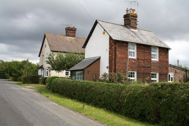
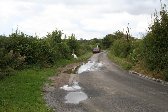
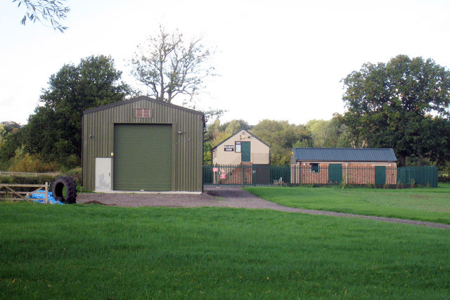
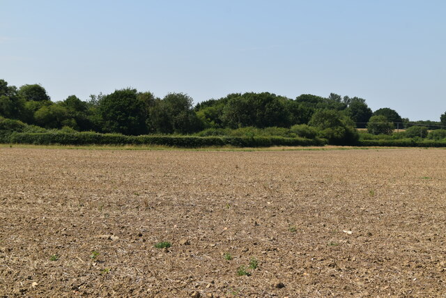
Beechwood Hill Images
Images are sourced within 2km of 51.243108/-0.025761926 or Grid Reference TQ3751. Thanks to Geograph Open Source API. All images are credited.


Beechwood Hill is located at Grid Ref: TQ3751 (Lat: 51.243108, Lng: -0.025761926)
Administrative County: Surrey
District: Tandridge
Police Authority: Surrey
What 3 Words
///loaf.gasp.lobby. Near Oxted, Surrey
Related Wikis

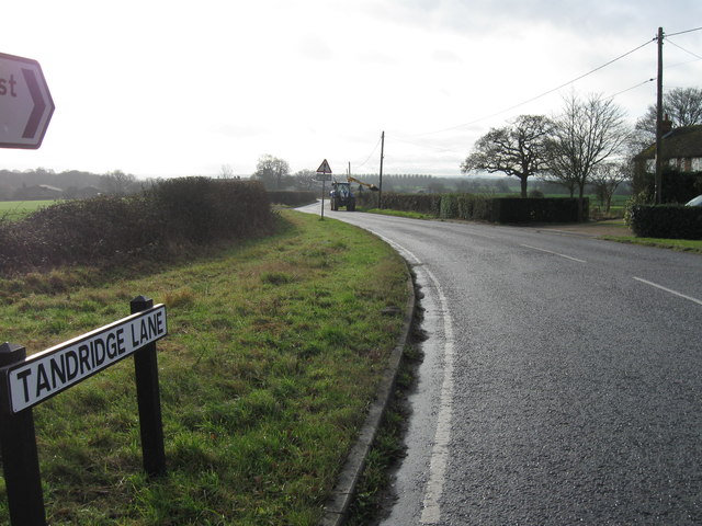
Tandridge
Tandridge is a village and civil parish in the Tandridge District, in the county of Surrey, England. Its nucleus is on a rise of the Greensand Ridge between...

Tandridge Hundred
Tandridge Hundred was a hundred in Surrey, England. It comprised areas in the Tandridge District, the easternmost part of the county, bordering Kent, West...

Barrow Green Court
Barrow Green Court is a Grade I listed house near Oxted, Surrey, England.The house was built in the early-17th century, with mid-18th century alterations...
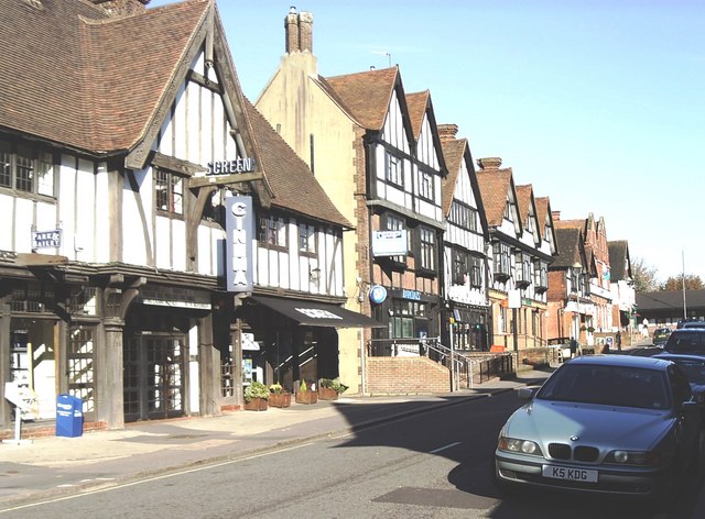
Oxted
Oxted is a town and civil parish in the Tandridge district of Surrey, England, at the foot of the North Downs. It is 9 miles (14 km) south south-east of...
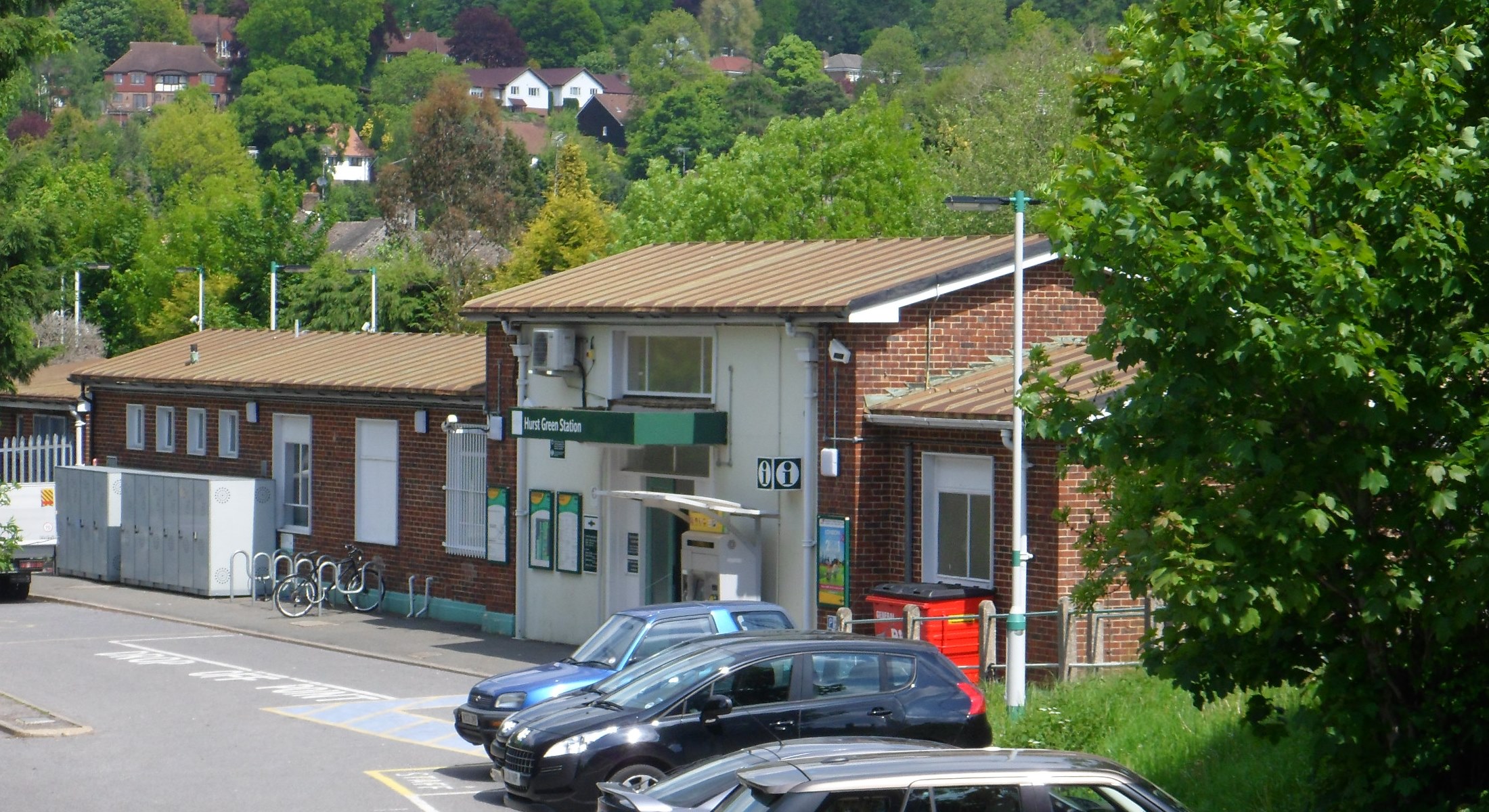
Hurst Green railway station
Hurst Green railway station is on the Oxted line in southern England and serves the Hurst Green neighbourhood of Oxted in Surrey. It is 21 miles 20 chains...

Godstone Ponds
Godstone Ponds is a 13.6-hectare (34-acre) biological Site of Special Scientific Interest in Godstone in Surrey. Bay Pond is an educational nature reserve...
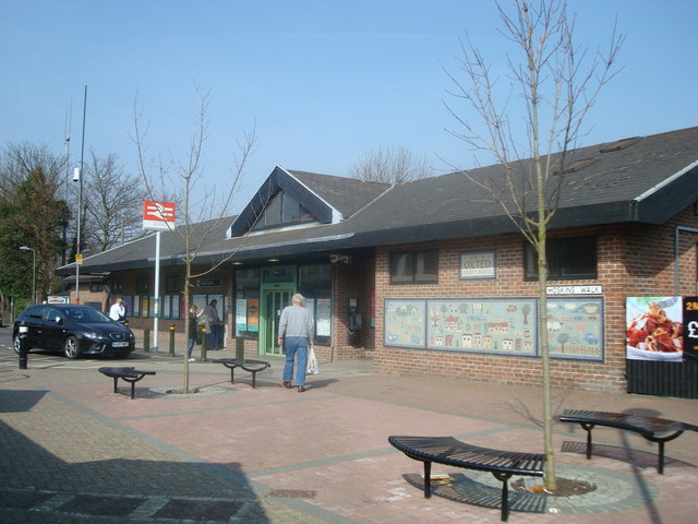
Oxted railway station
Oxted railway station is on the Oxted line in southern England, serving the commuter town of Oxted, Surrey. It is 20 miles 25 chains (20.31 miles, 32.69...
Godstone Rural District
Godstone Rural District was a rural district in Surrey, England from 1894 to 1974, covering an area in the south-east of the county. == Origins == The...
Nearby Amenities
Located within 500m of 51.243108,-0.025761926Have you been to Beechwood Hill?
Leave your review of Beechwood Hill below (or comments, questions and feedback).