Brokengall Hill
Hill, Mountain in Hertfordshire East Hertfordshire
England
Brokengall Hill
Brokengall Hill is a prominent hill located in Hertfordshire, England. Situated in the Chiltern Hills, it forms part of the larger Chiltern Hills Area of Outstanding Natural Beauty. The hill rises to an elevation of approximately 171 meters (561 feet) above sea level, offering stunning panoramic views of the surrounding countryside.
The hill is characterized by its gentle slopes and lush greenery, with a variety of flora and fauna thriving in the area. It is home to a diverse range of plant species, including wildflowers, ferns, and grasses, making it a popular spot for nature enthusiasts and hikers.
Brokengall Hill has a rich history, with archaeological evidence suggesting human activity in the area dating back thousands of years. The remains of Iron Age hillforts and ancient burial mounds have been discovered on the hill, providing insight into the region's past.
Today, the hill attracts visitors from near and far, who come to enjoy its natural beauty and explore the numerous walking trails that crisscross its slopes. The hill offers a peaceful and tranquil escape from the hustle and bustle of nearby towns and cities, making it a favorite destination for those seeking solitude in nature.
Overall, Brokengall Hill in Hertfordshire is a picturesque and historically significant location, offering breathtaking views, abundant wildlife, and a glimpse into the area's ancient past.
If you have any feedback on the listing, please let us know in the comments section below.
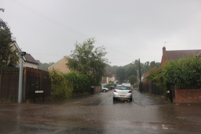
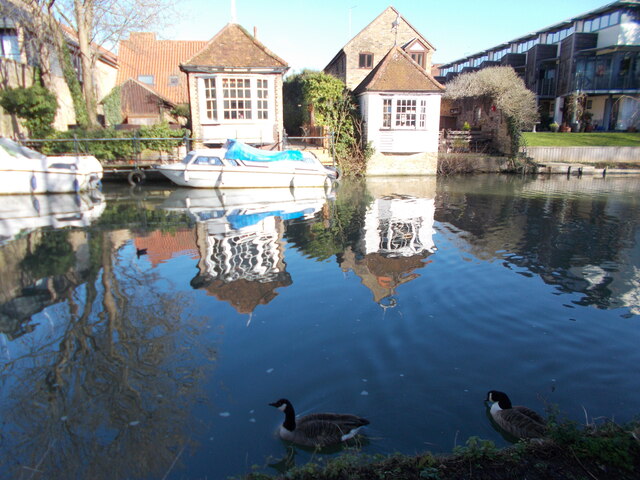
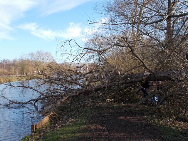
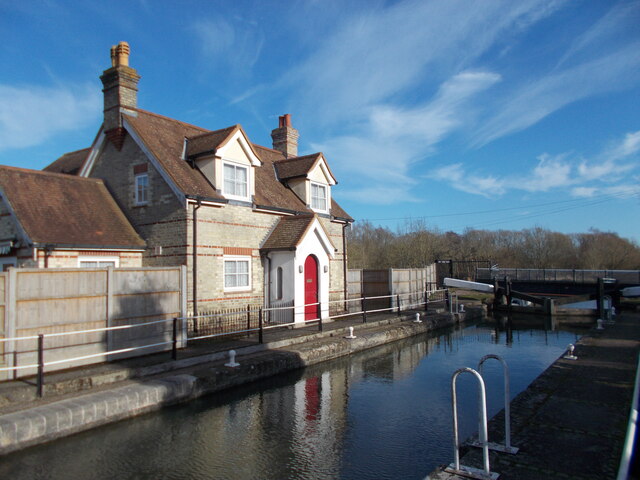
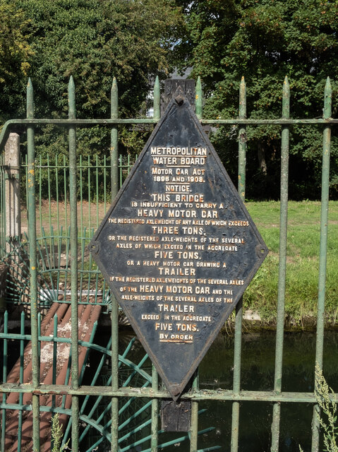
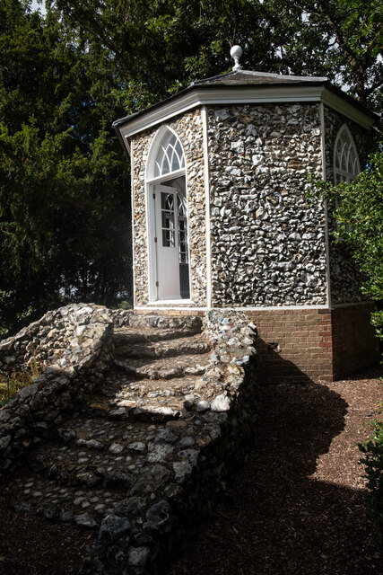
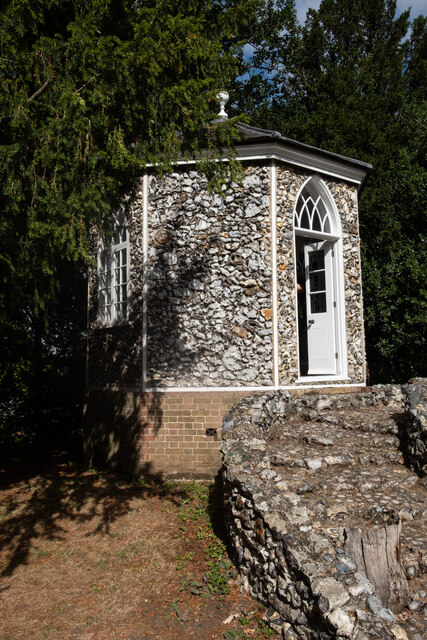
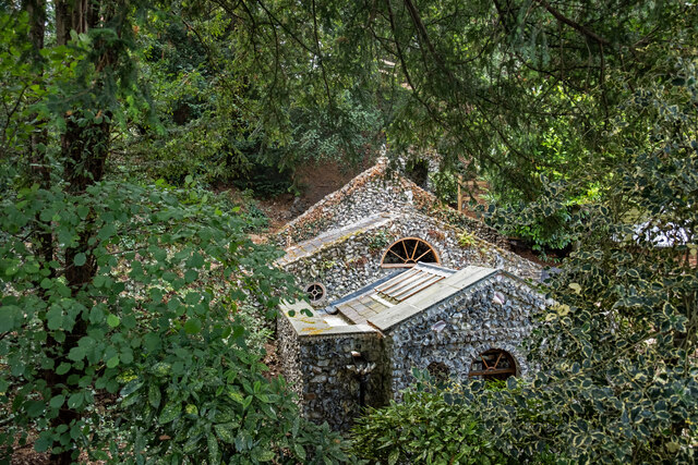
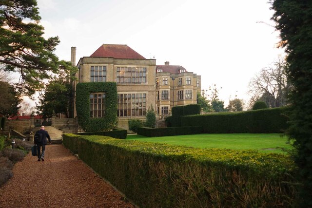
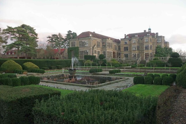
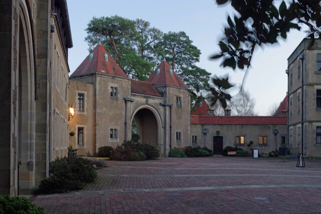
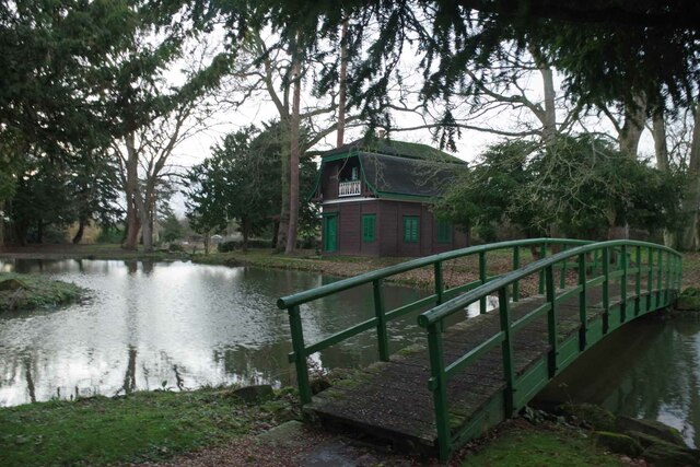
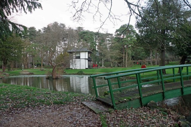
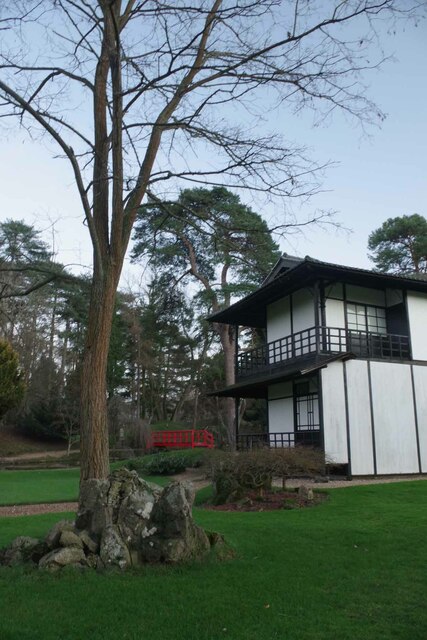
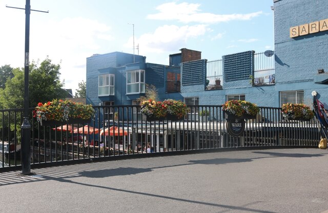
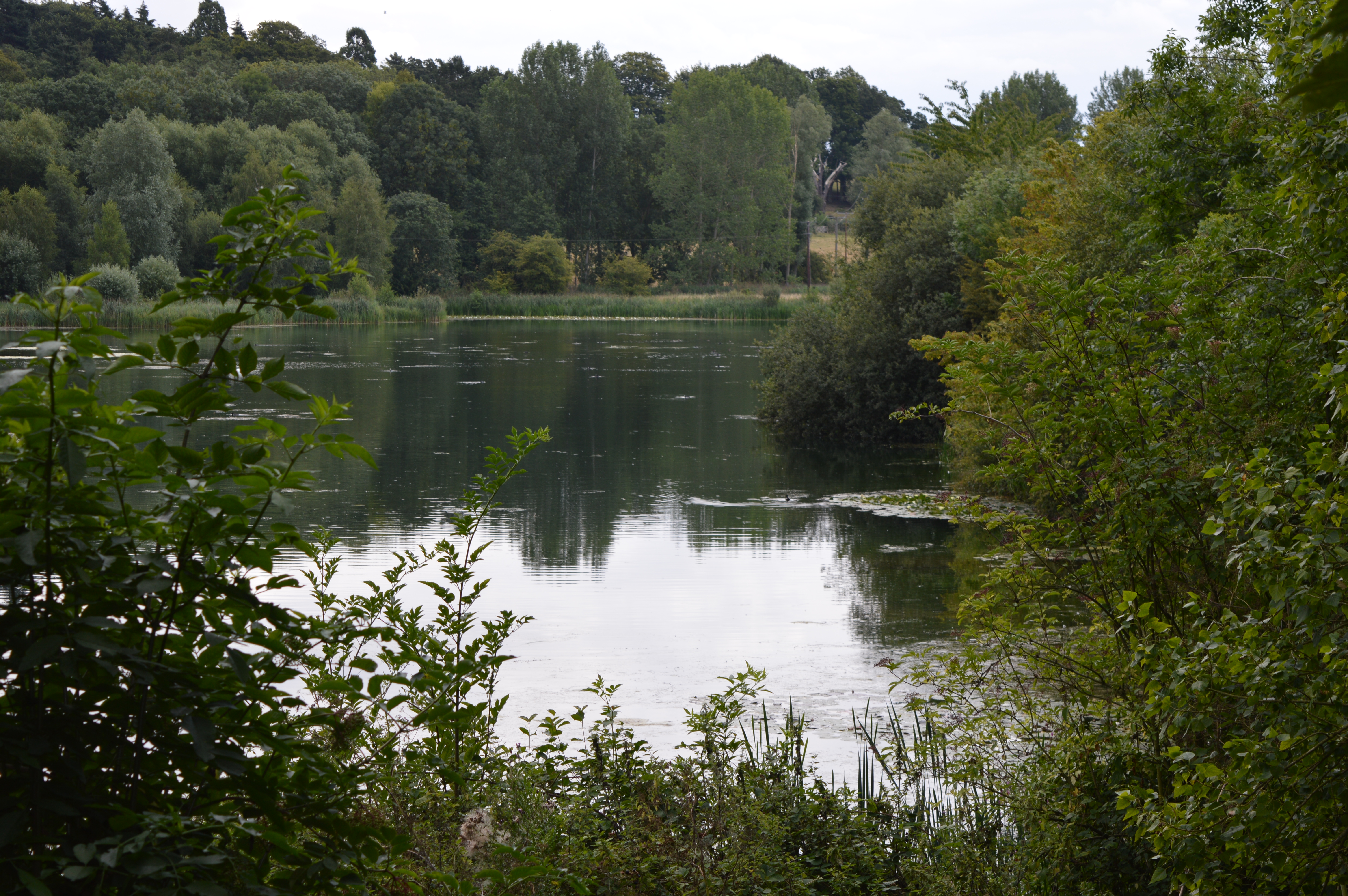
Brokengall Hill Images
Images are sourced within 2km of 51.809017/-0.005713382 or Grid Reference TL3714. Thanks to Geograph Open Source API. All images are credited.


Brokengall Hill is located at Grid Ref: TL3714 (Lat: 51.809017, Lng: -0.005713382)
Administrative County: Hertfordshire
District: East Hertfordshire
Police Authority: Hertfordshire
What 3 Words
///patrol.extra.vast. Near Ware, Hertfordshire
Nearby Locations
Related Wikis
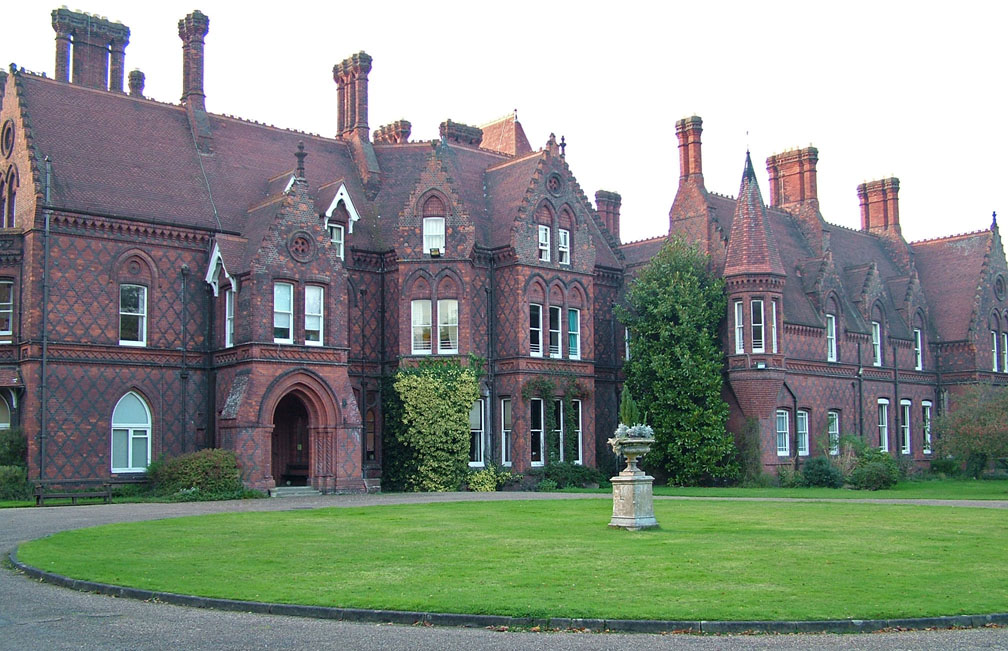
All Nations Christian College
All Nations Christian College is an English missions college, located on the Easneye estate near Ware, Hertfordshire, and validated by the Open University...

Hardmead Lock
Hardmead Lock (No3) is a lock on the River Lee Navigation at Great Amwell close to the town of Ware. The lock has a reputation as being difficult to negotiate...

River Ash, Hertfordshire
The River Ash originates near the village of Brent Pelham in North Hertfordshire and flows through The Hadhams (Little, Ford and Much), Widford, Wareside...

Babbs Green
Babbs Green is a hamlet in the civil parish of Wareside, in the East Hertfordshire district of Hertfordshire, England, located around 3 miles (5 km) north...
Bakers End
Bakers End is a hamlet in the civil parish of Wareside, in the East Hertfordshire district, in the county of Hertfordshire, England.
Beaver Group
Beaver Group is an organization whose focus is the delivery of digital signage, content design and web technologies. Beaver Group clients are spread across...
Amwell Quarry
Amwell Quarry or Amwell Nature Reserve is a 37 hectare biological Site of Special Scientific Interest in Great Amwell in Hertfordshire. The planning authority...

Amwell Magna Fishery
Amwell Magna Fishery is located on the River Lea at Great Amwell which is 1.5 miles (2.4 km) south of Ware in Hertfordshire, southern England. == History... ==
Nearby Amenities
Located within 500m of 51.809017,-0.005713382Have you been to Brokengall Hill?
Leave your review of Brokengall Hill below (or comments, questions and feedback).