Beacon Hill

Hill, Mountain in Lincolnshire East Lindsey

England

Beacon Hill

Site of Rookery Farm
Site of Rookery Farm Credit: David Brown

Beacon Hill is a prominent hill located in the county of Lincolnshire, England. Situated near the town of Grantham, it is a popular destination for nature lovers, hikers, and history enthusiasts alike. Rising to an impressive height of 365 feet (111 meters), Beacon Hill offers breathtaking panoramic views of the surrounding countryside.

The hill derives its name from the historical practice of using its summit as a beacon site, where signal fires were lit to warn of imminent danger during times of war or invasion. This historical significance adds to the hill's allure, as visitors can explore the remnants of the beacon site and imagine the role it played in the region's past.

Aside from its historical significance, Beacon Hill is also a designated Site of Special Scientific Interest (SSSI) due to its rich and diverse wildlife. The hill is home to a variety of habitats, including woodland, limestone grassland, and heathland, which provide a sanctuary for numerous plant and animal species. Visitors can spot a wide range of flora and fauna, including rare orchids, butterflies, and birds.

For outdoor enthusiasts, Beacon Hill offers several walking trails and paths that cater to all levels of fitness and ability. The hill is a popular destination for families, as it provides a safe and picturesque setting for picnics and leisurely strolls. Additionally, the hill is a magnet for paragliders, who take advantage of the hill's favorable wind conditions to soar through the skies.

In conclusion, Beacon Hill in Lincolnshire is a captivating destination that combines historical significance, natural beauty, and recreational opportunities. Whether you are seeking a tranquil escape in nature, an insight into the region's past, or simply breathtaking views, Beacon Hill is a must-visit location.

If you have any feedback on the listing, please let us know in the comments section below.
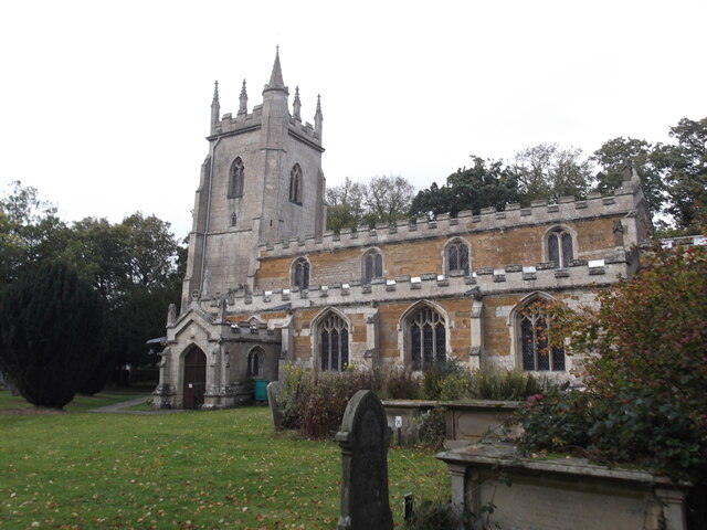
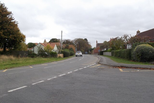
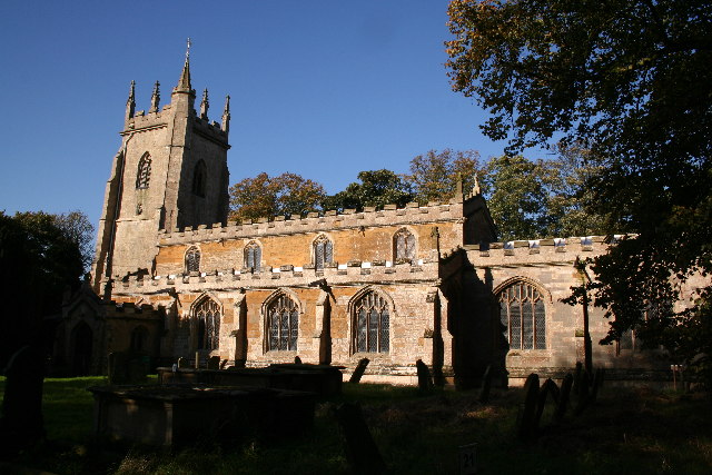
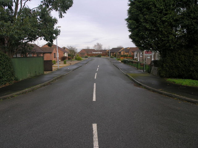
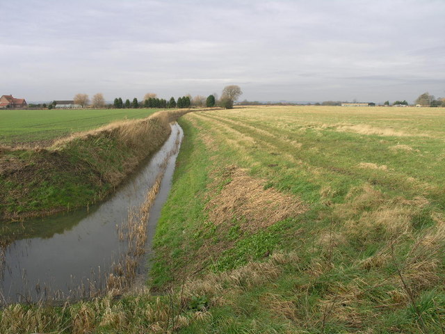
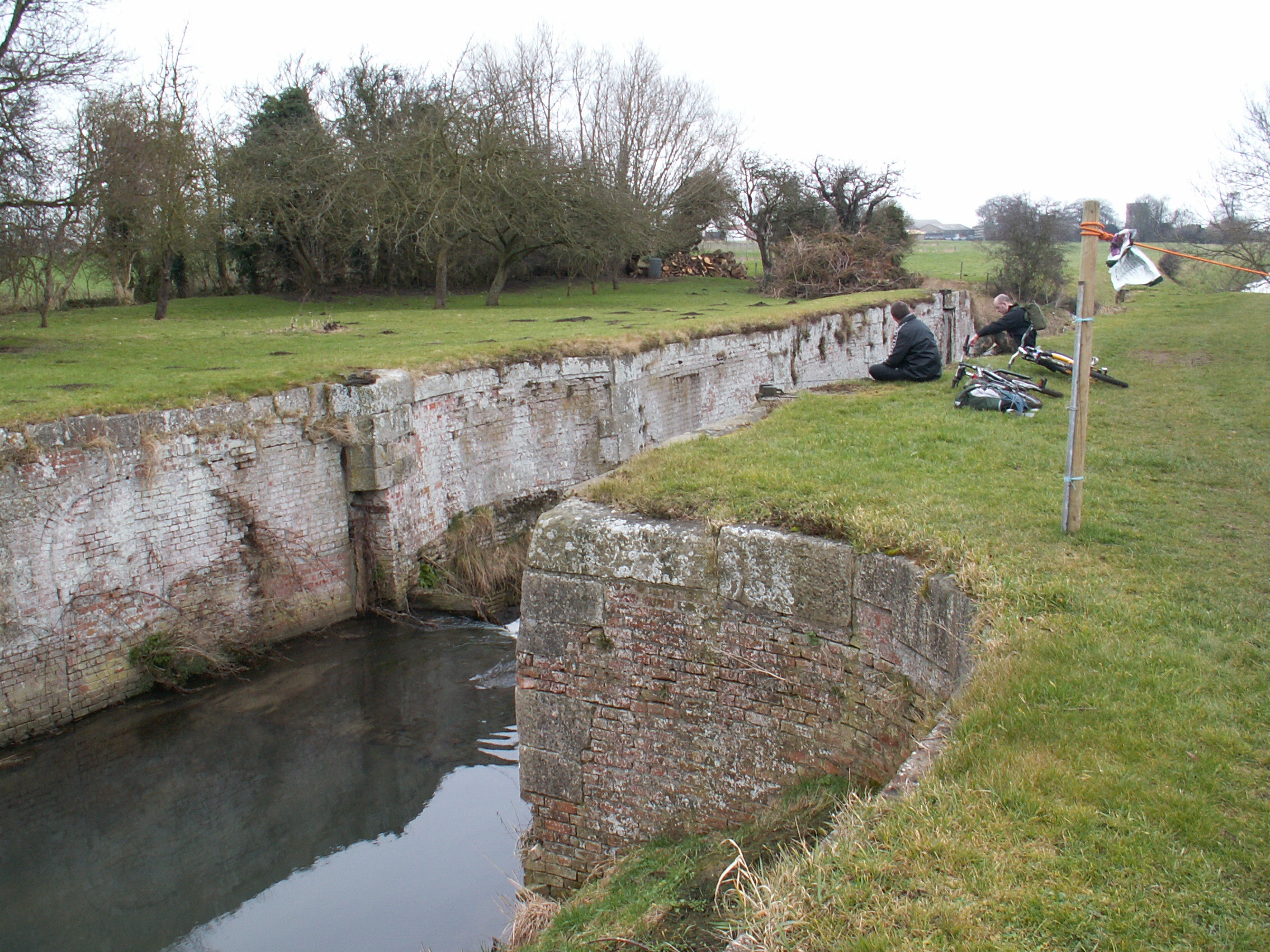
Beacon Hill Images

Images are sourced within 2km of 53.462274/0.068313153 or Grid Reference TF3798. Thanks to Geograph Open Source API. All images are credited.

Site of Rookery Farm
Poultry Farm, Grainthorpe
War memorial, Grainthorpe
Footbridge on New Drain
St Mary's Church, Marshchapel
A1031 in Marshchapel
Ridge and Furrow, Grainthorpe: aerial 2022
Earthworks in field near Eshkham: aerial 2022 New Farm.

See also <a href="https://www.geograph.org.uk/photo/7352357">TF3798 : Ridge and furrow and earthworks near Eskham: aerial 2022</a>.
Earthworks in field near Eshkham: aerial 2022
Ridge and furrow and earthworks near Eskham: aerial 2022 New Farm, Willow Tree House.

See also <a href="https://www.geograph.org.uk/photo/7352354">TF3798 : Earthworks in field near Eshkham: aerial 2022</a>.
Ridge and furrow and earthworks near Eskham: aerial 2022
New Farm, Willow Tree House. See also TF3798 : Earthworks in field near Eshkham: aerial 2022.
Ploughed-out (salt) sleech mounds, Grainthorpe Fen: aerial 2022 (1) For sleech mounds and salt production see: <span class="nowrap"><a title="https://webapps.kent.gov.uk/KCC.ExploringKentsPast.Web.Sites.Public/SingleResult.aspx?uid=MKE2605" rel="nofollow ugc noopener" href="https://webapps.kent.gov.uk/KCC.ExploringKentsPast.Web.Sites.Public/SingleResult.aspx?uid=MKE2605">Link</a><img style="margin-left:2px;" alt="External link" title="External link - shift click to open in new window" src="https://s1.geograph.org.uk/img/external.png" width="10" height="10"/></span>
Ploughed-out (salt) sleech mounds, Grainthorpe Fen: aerial 2022 (1)
For sleech mounds and salt production see: LinkExternal link
Suine Haven and sleech mounds on Grainthorpe Fen: aerial 2022 Centred on the ploughed-out (salt) sleech mounds top right. For sleech mounds see: For sleech mounds and salt production see: <span class="nowrap"><a title="https://webapps.kent.gov.uk/KCC.ExploringKentsPast.Web.Sites.Public/SingleResult.aspx?uid=MKE2605" rel="nofollow ugc noopener" href="https://webapps.kent.gov.uk/KCC.ExploringKentsPast.Web.Sites.Public/SingleResult.aspx?uid=MKE2605">Link</a><img style="margin-left:2px;" alt="External link" title="External link - shift click to open in new window" src="https://s1.geograph.org.uk/img/external.png" width="10" height="10"/></span>

Former port of Suine/Swine Haven by Sea Farm (centre): see <a href="https://www.geograph.org.uk/photo/4863489">TF3999 : The strait jacket awaits: Seven Towns North Eau heading for Sea Farm and Grainthorpe Haven (aerial 2016)</a>. Evergreen Farm bottom left. Walk Farm (or remains of) in the stand of trees.
Suine Haven and sleech mounds on Grainthorpe Fen: aerial 2022
Centred on the ploughed-out (salt) sleech mounds top right. For sleech mounds see: For sleech mounds and salt production see: LinkExternal link Former port of Suine/Swine Haven by Sea Farm (centre): see TF3999 : The strait jacket awaits: Seven Towns North Eau heading for Sea Farm and Grainthorpe Haven (aerial 2016). Evergreen Farm bottom left. Walk Farm (or remains of) in the stand of trees.
Ploughed-out (salt) sleech mounds on fen near Marshchapel: aerial 2022 (1) For sleech mounds and salt production see: <span class="nowrap"><a title="https://webapps.kent.gov.uk/KCC.ExploringKentsPast.Web.Sites.Public/SingleResult.aspx?uid=MKE2605" rel="nofollow ugc noopener" href="https://webapps.kent.gov.uk/KCC.ExploringKentsPast.Web.Sites.Public/SingleResult.aspx?uid=MKE2605">Link</a><img style="margin-left:2px;" alt="External link" title="External link - shift click to open in new window" src="https://s1.geograph.org.uk/img/external.png" width="10" height="10"/></span>
Ploughed-out (salt) sleech mounds on fen near Marshchapel: aerial 2022 (1)
For sleech mounds and salt production see: LinkExternal link
Ploughed-out (salt) sleech mounds on fen near Marshchapel: aerial 2022 (2) Near Middle Farm.

For sleech mounds and salt production see: <span class="nowrap"><a title="https://webapps.kent.gov.uk/KCC.ExploringKentsPast.Web.Sites.Public/SingleResult.aspx?uid=MKE2605" rel="nofollow ugc noopener" href="https://webapps.kent.gov.uk/KCC.ExploringKentsPast.Web.Sites.Public/SingleResult.aspx?uid=MKE2605">Link</a><img style="margin-left:2px;" alt="External link" title="External link - shift click to open in new window" src="https://s1.geograph.org.uk/img/external.png" width="10" height="10"/></span>
Ploughed-out (salt) sleech mounds on fen near Marshchapel: aerial 2022 (2)
Near Middle Farm. For sleech mounds and salt production see: LinkExternal link
Ploughed-out (salt) sleech mounds on fen near Marshchapel: aerial 2022 (3) Near Middle Farm.

For sleech mounds and salt production see: <span class="nowrap"><a title="https://webapps.kent.gov.uk/KCC.ExploringKentsPast.Web.Sites.Public/SingleResult.aspx?uid=MKE2605" rel="nofollow ugc noopener" href="https://webapps.kent.gov.uk/KCC.ExploringKentsPast.Web.Sites.Public/SingleResult.aspx?uid=MKE2605">Link</a><img style="margin-left:2px;" alt="External link" title="External link - shift click to open in new window" src="https://s1.geograph.org.uk/img/external.png" width="10" height="10"/></span>
Ploughed-out (salt) sleech mounds on fen near Marshchapel: aerial 2022 (3)
Near Middle Farm. For sleech mounds and salt production see: LinkExternal link
Ploughed-out (salt) sleech mounds on fen near Marshchapel: aerial 2022 (4) Near Middle Farm.

For sleech mounds and salt production see: <span class="nowrap"><a title="https://webapps.kent.gov.uk/KCC.ExploringKentsPast.Web.Sites.Public/SingleResult.aspx?uid=MKE2605" rel="nofollow ugc noopener" href="https://webapps.kent.gov.uk/KCC.ExploringKentsPast.Web.Sites.Public/SingleResult.aspx?uid=MKE2605">Link</a><img style="margin-left:2px;" alt="External link" title="External link - shift click to open in new window" src="https://s1.geograph.org.uk/img/external.png" width="10" height="10"/></span>
Ploughed-out (salt) sleech mounds on fen near Marshchapel: aerial 2022 (4)
Near Middle Farm. For sleech mounds and salt production see: LinkExternal link
St.Mary's church, Marshchapel, Lincs. An inscription on the gate proclaims St.Mary's 'the cathedral of the marshes' and it lives up to this promise. Built in one go on the proceeds of medieval salt working in c1420, it has a lofty Perpendicular tower and wide, aisled nave.
St.Mary's church, Marshchapel, Lincs.
An inscription on the gate proclaims St.Mary's 'the cathedral of the marshes' and it lives up to this promise. Built in one go on the proceeds of medieval salt working in c1420, it has a lofty Perpendicular tower and wide, aisled nave.
Plumtree Drive No sign of a plum tree at this end of Plumtree Drive in Marshchapel, there is a Eucalyptus however.
Plumtree Drive
No sign of a plum tree at this end of Plumtree Drive in Marshchapel, there is a Eucalyptus however.
Dyke at Eskham One of the many drainage dykes in this area that are temporarily keeping the sea off the fields.
Dyke at Eskham
One of the many drainage dykes in this area that are temporarily keeping the sea off the fields.
Show me another place!

Beacon Hill is located at Grid Ref: TF3798 (Lat: 53.462274, Lng: 0.068313153)

Administrative County: Lincolnshire

District: East Lindsey

Police Authority: Lincolnshire

What 3 Words

///pictured.giving.videos. Near North Somercotes, Lincolnshire

Nearby Locations

Beacon Hill

Related Wikis

Grainthorpe

Grainthorpe is a small village and civil parish in the East Lindsey district of Lincolnshire, England. It is situated 7 miles (11 km) north-east from the...

Marshchapel

Marshchapel is a coastal village and civil parish in the East Lindsey district of Lincolnshire, England. It is approximately 11 miles (18 km) south-east...

Louth Navigation

The Louth Navigation was a canalisation of the River Lud. It ran for 11 miles (18 km) from Louth in Lincolnshire, England, to Tetney Haven, at the mouth...

Covenham Priory

Covenham Priory was a priory in Covenham St Bartholomew, Lincolnshire, England. The manor, which formed the endowment of the priory of Covenham, was granted...

Nearby Amenities

Located within 500m of 53.462274,0.068313153
Beacon Hill
Place: locality
Source: Bing
Lat/Long: 53.4618727/0.0650001
Wragholme House Farm
Place: farm
Source: Bing
Lat/Long: 53.4605358/0.0682551
Beacon Hill Farm
Place: farm
Source: Bing
Lat/Long: 53.4615053/0.0685238
Daubner House
Place: isolated_dwelling
Source: Bing
Lat/Long: 53.4613505/0.0697846
Dovecote
Place: isolated_dwelling
Source: Bing
Lat/Long: 53.461838/0.0751918
Oakmead
Place: isolated_dwelling
Source: Bing
Lat/Long: 53.4602166/0.061626
Post Box
Collection Times: Mo-Fr 09:00; Sa 07:00
Operator: Royal Mail
Operator Wikidata: Q638098
Post Box Mounting: pier
Post Box Type: lamp
Ref: LN11 84
Lat/Long: 53.4601378/0.0707795
The data included in this document is from www.openstreetmap.org. The data is made available under ODbL.

Have you been to Beacon Hill?

Leave your review of Beacon Hill below (or comments, questions and feedback).