Edics Hill

Hill, Mountain in Cambridgeshire South Cambridgeshire

England

Edics Hill

Malton Farm, Orwell There is a lengthy Listed Building Register entry for this site, but the most important part is the white painted building hardly visible from here, a C15 open hall. The grey range dominating this photo has C19 gault brick casing to an earlier addition to the C15 house. Slated roof with end stacks. <span class="nowrap"><a title="http://www.heritagegateway.org.uk/Gateway/Results_Single.aspx?resourceID=5&uid=52341" rel="nofollow ugc noopener" href="http://www.heritagegateway.org.uk/Gateway/Results_Single.aspx?resourceID=5&uid=52341">Link</a><img style="margin-left:2px;" alt="External link" title="External link - shift click to open in new window" src="https://s1.geograph.org.uk/img/external.png" width="10" height="10"/></span>
Malton Farm, Orwell Credit: Keith Edkins

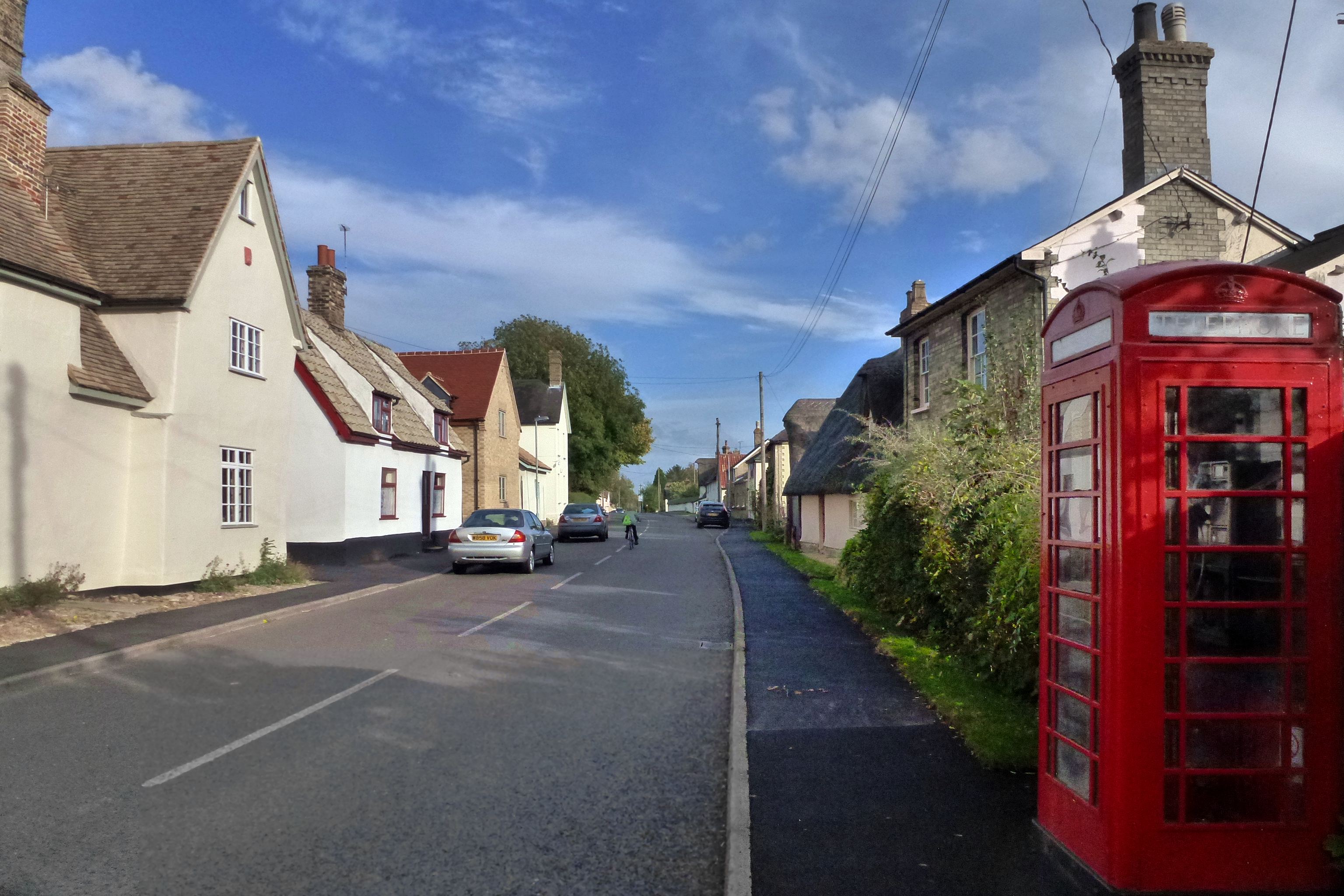
Edics Hill is a prominent geographical feature located in the county of Cambridgeshire, England. Despite its name, it is not a hill or a mountain in the traditional sense, but rather a small rise in an otherwise flat landscape. It is situated near the village of Pampisford, approximately 10 miles southeast of Cambridge.

Rising to a modest elevation of around 50 feet, Edics Hill offers a panoramic view of the surrounding countryside. It is primarily composed of chalk and forms part of the Chalk Beds geological formation, which stretches across several counties in eastern England.

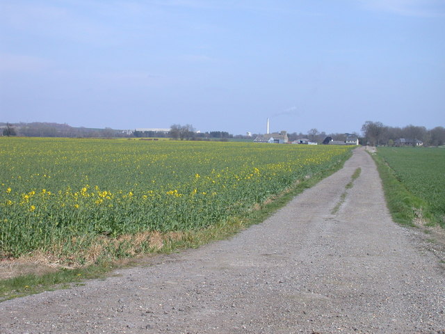
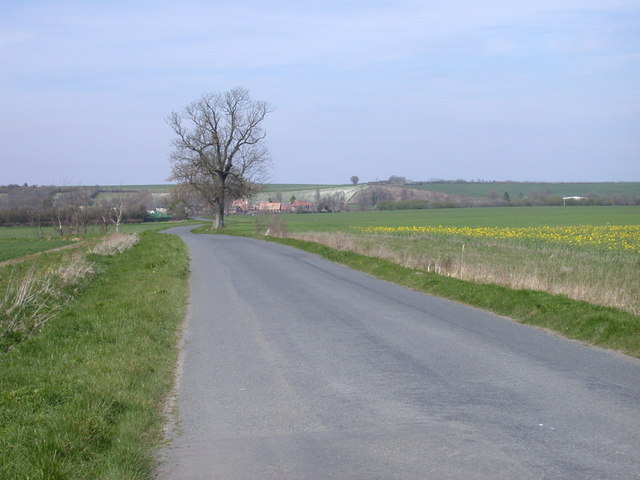
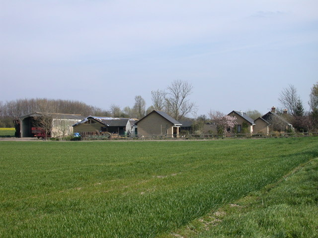
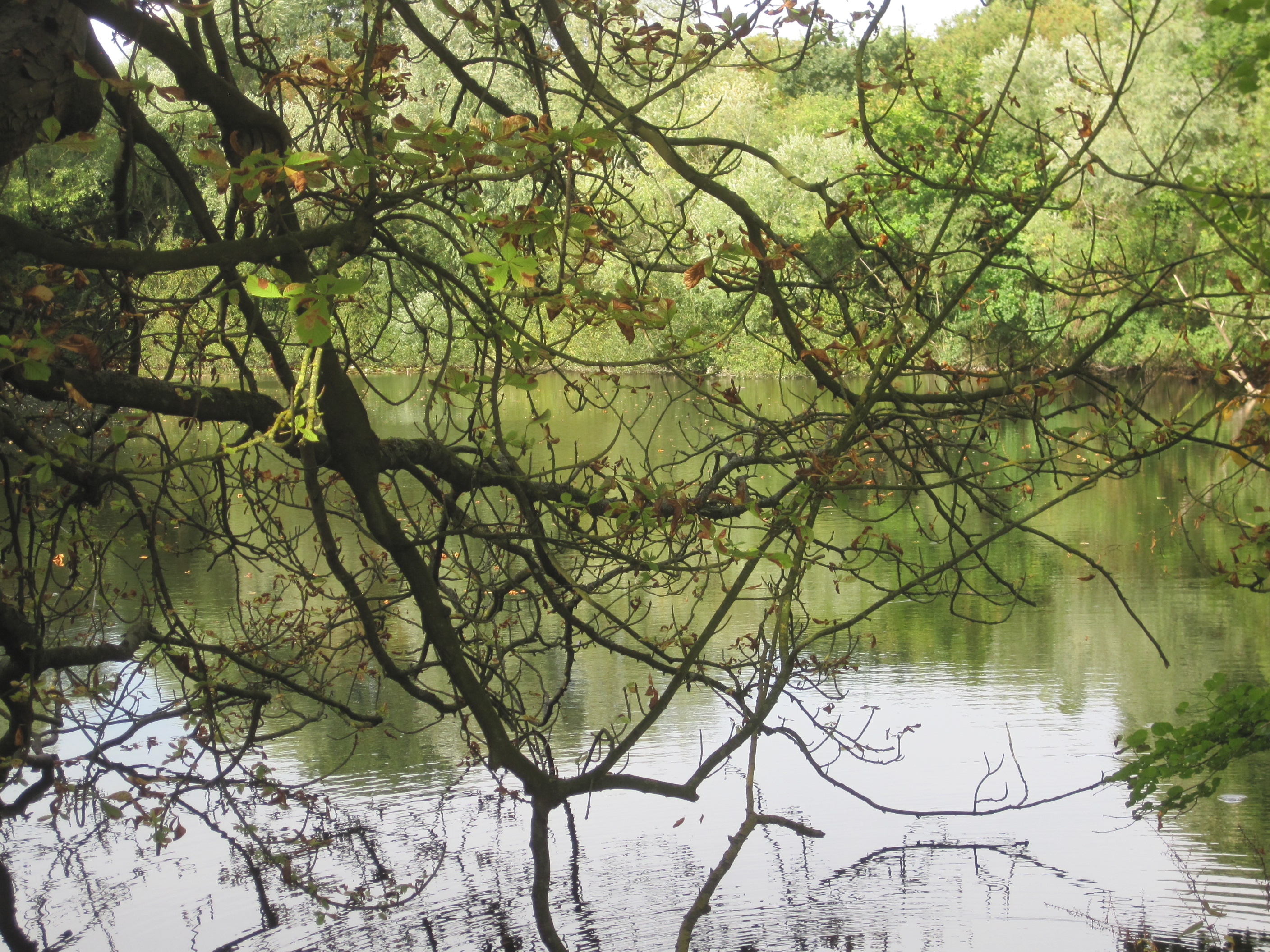
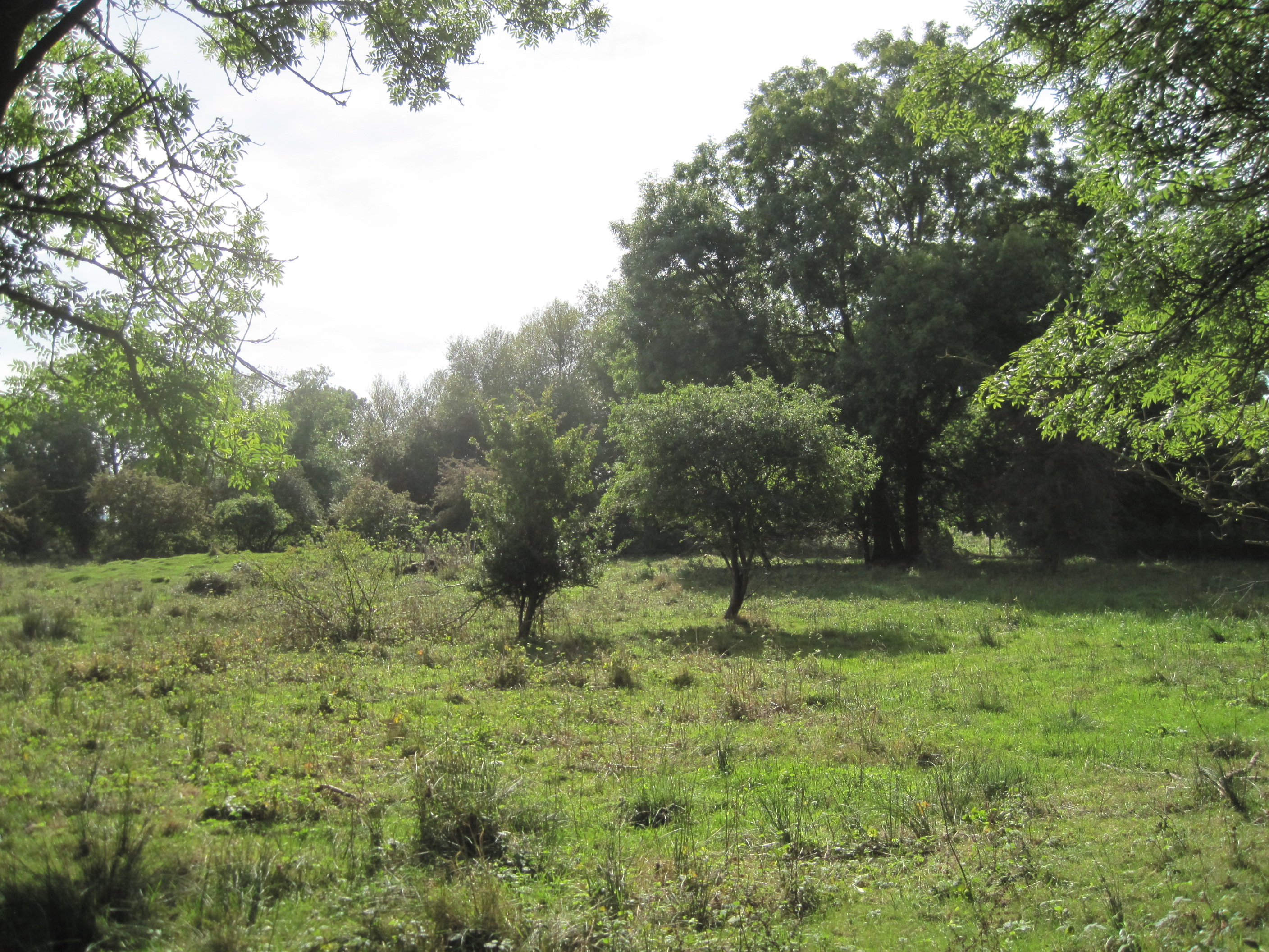
The area surrounding Edics Hill is predominantly agricultural, with fields of crops and pastureland extending as far as the eye can see. The hill itself is covered in a patchwork of grasses and wildflowers, providing a habitat for various flora and fauna.

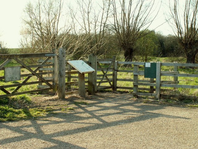
Given its modest height, Edics Hill is a popular destination for local walkers and hikers. Its position on the outskirts of Pampisford makes it easily accessible, and it is often included in walking routes in the area. A footpath leads visitors to the top of the hill, where they can enjoy the expansive views and take in the peaceful atmosphere.

While not a well-known landmark on a national scale, Edics Hill holds value for the local community and nature enthusiasts who appreciate its subtle beauty and the opportunity it provides for leisurely outdoor activities.

If you have any feedback on the listing, please let us know in the comments section below.
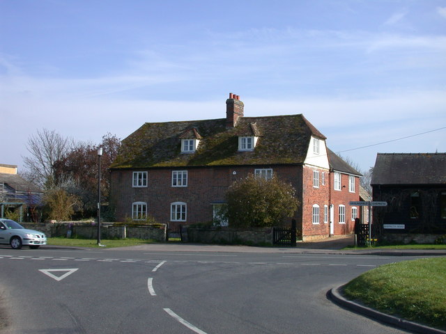
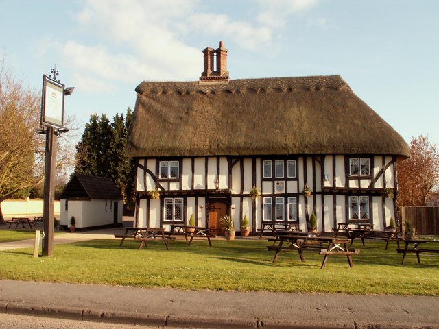
Edics Hill Images

Images are sourced within 2km of 52.129595/0.003691377 or Grid Reference TL3749. Thanks to Geograph Open Source API. All images are credited.

Malton Farm, Orwell There is a lengthy Listed Building Register entry for this site, but the most important part is the white painted building hardly visible from here, a C15 open hall. The grey range dominating this photo has C19 gault brick casing to an earlier addition to the C15 house. Slated roof with end stacks. <span class="nowrap"><a title="http://www.heritagegateway.org.uk/Gateway/Results_Single.aspx?resourceID=5&uid=52341" rel="nofollow ugc noopener" href="http://www.heritagegateway.org.uk/Gateway/Results_Single.aspx?resourceID=5&uid=52341">Link</a><img style="margin-left:2px;" alt="External link" title="External link - shift click to open in new window" src="https://s1.geograph.org.uk/img/external.png" width="10" height="10"/></span>
Malton Farm, Orwell
There is a lengthy Listed Building Register entry for this site, but the most important part is the white painted building hardly visible from here, a C15 open hall. The grey range dominating this photo has C19 gault brick casing to an earlier addition to the C15 house. Slated roof with end stacks. LinkExternal link
Dovecote, Malton Farm C17-C18. Timber framed, weatherboarded, on red brick plinth. Tiled roof with gablets for flight holes and original landing stage. Grade II listed. <span class="nowrap"><a title="http://www.heritagegateway.org.uk/Gateway/Results_Single.aspx?resourceID=5&uid=52340" rel="nofollow ugc noopener" href="http://www.heritagegateway.org.uk/Gateway/Results_Single.aspx?resourceID=5&uid=52340">Link</a><img style="margin-left:2px;" alt="External link" title="External link - shift click to open in new window" src="https://s1.geograph.org.uk/img/external.png" width="10" height="10"/></span>
Dovecote, Malton Farm
C17-C18. Timber framed, weatherboarded, on red brick plinth. Tiled roof with gablets for flight holes and original landing stage. Grade II listed. LinkExternal link
Track to Trinity Farm. Barrington
Malton Road, Orwell / Barrington border Orwell to the left, Barrington to the right
Malton Road, Orwell / Barrington border
Orwell to the left, Barrington to the right
The Retreat, Malton Road, Orwell Partly let out as self-catering accommodation
The Retreat, Malton Road, Orwell
Partly let out as self-catering accommodation
Petersfield Church of England Primary School, Orwell
Fairhaven Trophy, Orwell, 2007 The Cambridgeshire Village of the Year competition awards environmental and community achievement. The winner gets to display this trophy for a year. From 2007 there is also a cash prize.

Orwell won in 2006 and the trophy was displayed outside Orwell Tennis Club.
Fairhaven Trophy, Orwell, 2007
The Cambridgeshire Village of the Year competition awards environmental and community achievement. The winner gets to display this trophy for a year. From 2007 there is also a cash prize. Orwell won in 2006 and the trophy was displayed outside Orwell Tennis Club.
The Windmill, Barrington
Shepreth Road, Barrington
Houses, Barrington Road, Orwell
Entrance to Riverside Meadows
'The Royal Oak' inn at Barrington
Golfers' shelter On Malton Golf Course
Golfers' shelter
On Malton Golf Course
Clubhouse, Malton Golf Course
Malton footpath Public footpath across Malton golf course north of Meldreth, Cambridgeshire.
Malton footpath
Public footpath across Malton golf course north of Meldreth, Cambridgeshire.
Barrington Village Sign - detail
Shepreth: Barrington Road flood culverts When the River Cam bursts its banks it floods across Barrington Road from right to left in the picture. The culverts allow the water to flow under the elevated pedestrian walkway.
Shepreth: Barrington Road flood culverts
When the River Cam bursts its banks it floods across Barrington Road from right to left in the picture. The culverts allow the water to flow under the elevated pedestrian walkway.
River Cam near Barrington Viewed from the bridge which carries Shepreth Road, Barrington and/or Barrington Road, Shepreth, over the river.
River Cam near Barrington
Viewed from the bridge which carries Shepreth Road, Barrington and/or Barrington Road, Shepreth, over the river.
Show me another place!

Edics Hill is located at Grid Ref: TL3749 (Lat: 52.129595, Lng: 0.003691377)

Administrative County: Cambridgeshire

District: South Cambridgeshire

Police Authority: Cambridgeshire

What 3 Words

///rapid.hiding.taxpayers. Near Orwell, Cambridgeshire

Nearby Locations

Edics Hill

Related Wikis

Orwell Clunch Pit

Orwell Clunch Pit is a 1.8-hectare (4.4-acre) biological Site of Special Scientific Interest on the northern outskirts of Orwell in Cambridgeshire. It...
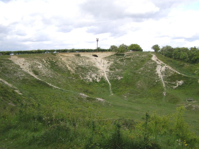
Barrington Pit

Barrington Pit is a 3.8-hectare (9.4-acre) geological Site of Special Scientific Interest near Barrington in Cambridgeshire. It is a Geological Conservation...

Orwell, Cambridgeshire

Orwell is a rural village outside Cambridge in South Cambridgeshire, England. The Prime Meridian passes the eastern edge of Orwell. == History == The village...

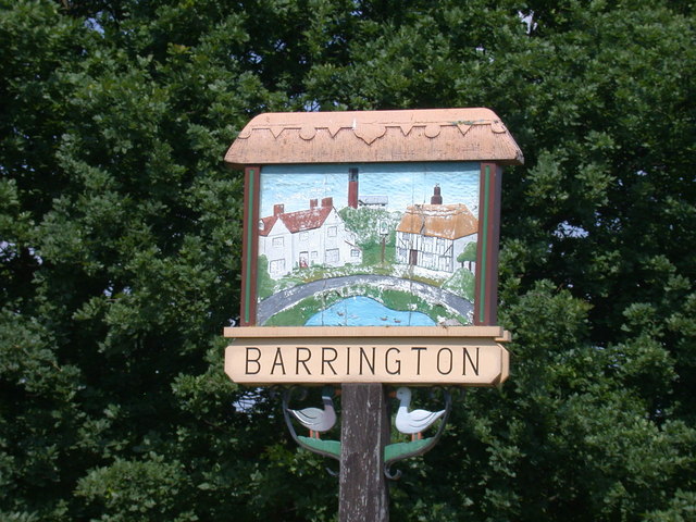
Barrington, Cambridgeshire

Barrington is a small village and civil parish in the South Cambridgeshire district of Cambridgeshire, England. The village is about 7 miles (11 km) south...

Barrington Chalk Pit

Barrington Chalk Pit is a 97.1-hectare (240-acre) geological Site of Special Scientific Interest near Barrington in Cambridgeshire. It is a Geological...

Shepreth railway station

Shepreth railway station serves the village of Shepreth in Cambridgeshire, England. The station is on the Cambridge Line, 49 miles 67 chains (49.84 miles...

L-Moor, Shepreth

L-Moor, Shepreth is a 6.6-hectare (16-acre) biological Site of Special Scientific Interest in Shepreth in Cambridgeshire. It is managed by the Wildlife...

Shepreth

Shepreth is a small village and civil parish in South Cambridgeshire, lying halfway between Cambridge and Royston. == History == The parish of Shepreth...

Nearby Amenities

Located within 500m of 52.129595,0.003691377
Power: pole
Lat/Long: 52.1317858/0.0038733
Power: pole
Lat/Long: 52.1315026/0.0072153
Power: pole
Lat/Long: 52.1315485/0.0061156
Power: pole
Lat/Long: 52.132125/0.0005098
Power: pole
Lat/Long: 52.1320161/0.001513
Power: pole
Lat/Long: 52.1322666/-0.0006969
Power: pole
Lat/Long: 52.1319075/0.0027092
Power: pole
Lat/Long: 52.1316638/0.0049408
Power: pole
Lat/Long: 52.1323882/-0.0018827
Addr Housename: The Retreat
Lat/Long: 52.1289569/-0.0016879
Bench
Lat/Long: 52.1316966/-0.0017056
GMT Monument Orwell
Historic: monument
Lat/Long: 52.1316042/-0.0017056
Power: pole
Lat/Long: 52.1314693/0.0080347
Edics Hill
Ele: 25
Natural: peak
Lat/Long: 52.1295945/0.0036921
The data included in this document is from www.openstreetmap.org. The data is made available under ODbL.

Have you been to Edics Hill?

Leave your review of Edics Hill below (or comments, questions and feedback).