Balmer Down

Hill, Mountain in Sussex Lewes

England

Balmer Down

Track on Plumpton Plain A track on Plumpton Plain, on the top of the South Downs ridge.
Track on Plumpton Plain Credit: Malc McDonald

Balmer Down is a prominent hill located in the county of Sussex, England. It is situated near the village of Balmer, approximately 5 miles south of the town of Lewes. Standing at an elevation of around 600 feet, Balmer Down is not classified as a mountain, but rather a hill.

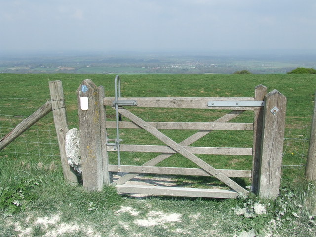
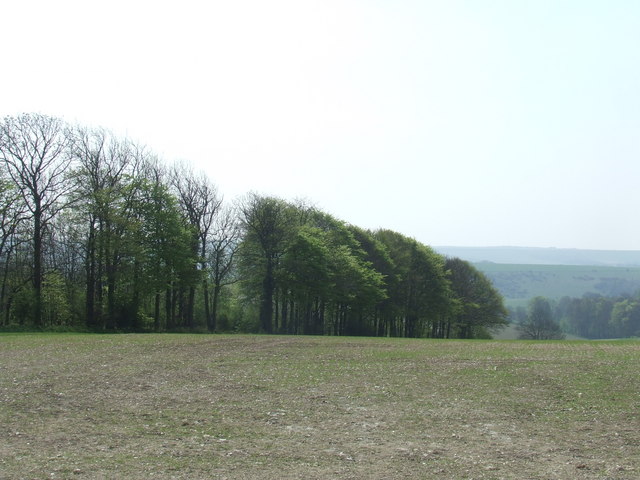
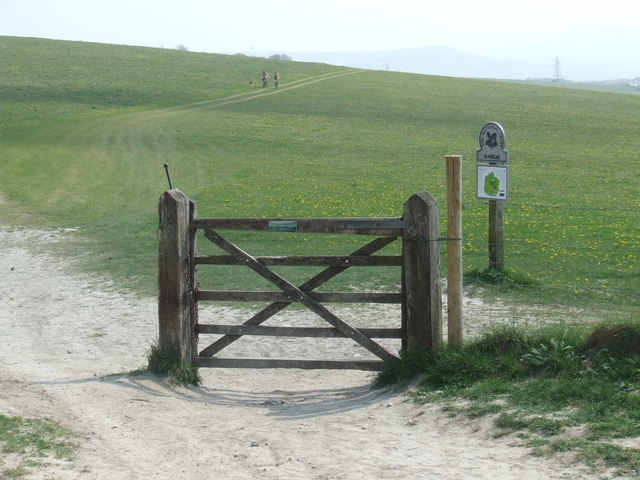
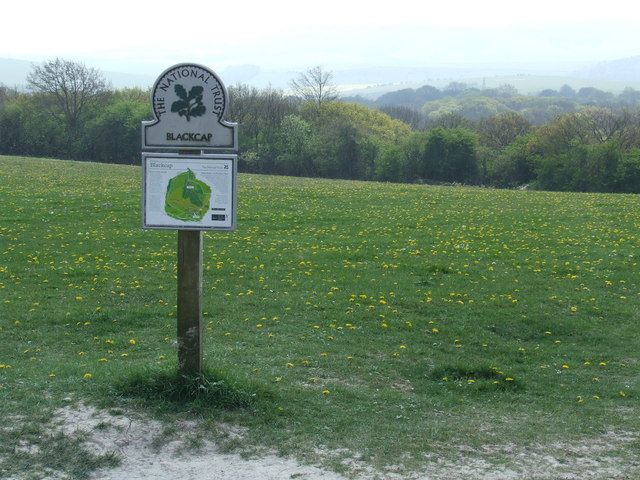
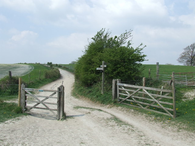
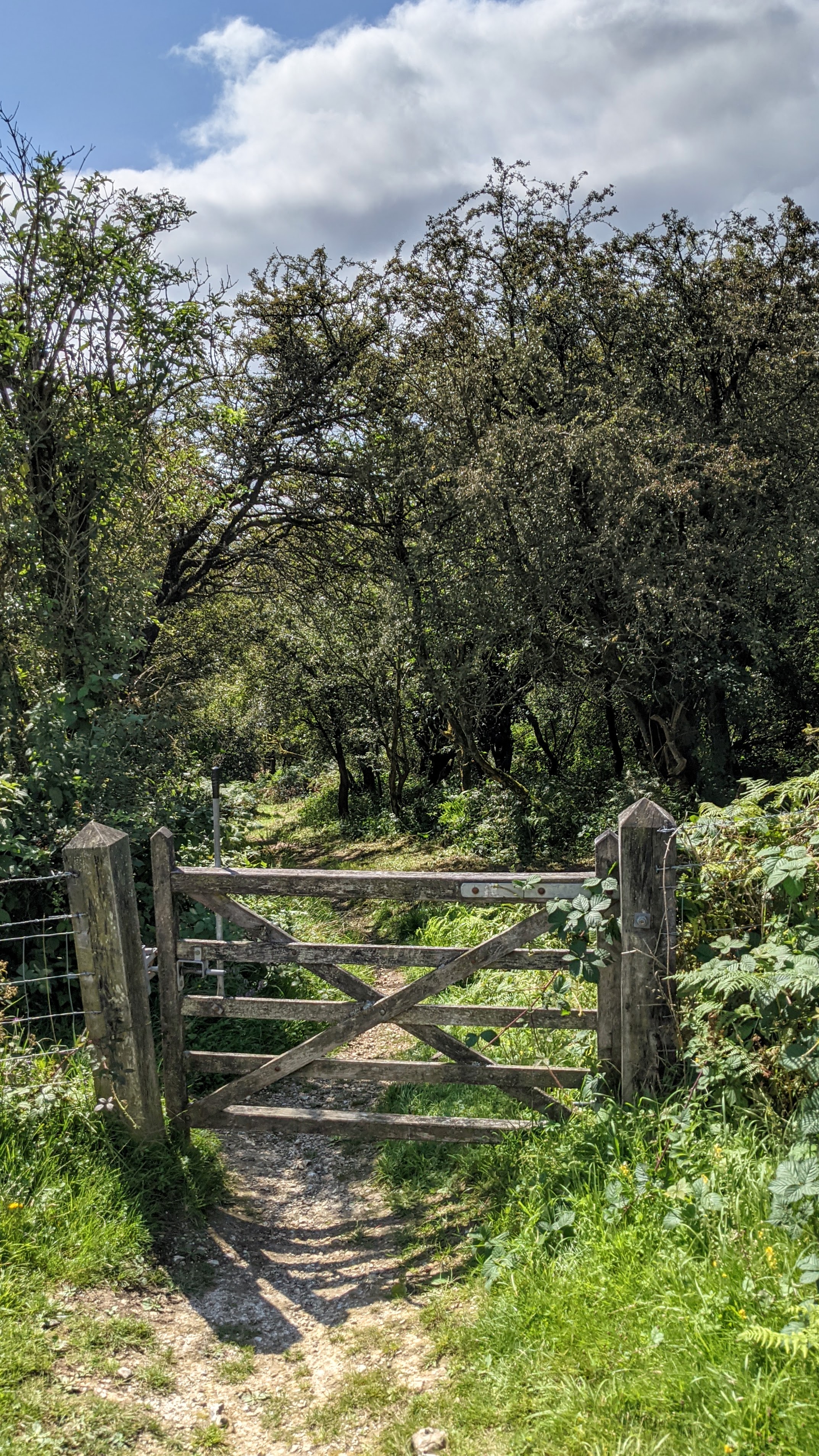
The hill is characterized by its rolling grassy slopes, which offer stunning panoramic views of the surrounding countryside. It is part of the South Downs National Park, a designated area of outstanding natural beauty. Balmer Down is known for its diverse flora and fauna, with wildflowers, butterflies, and various bird species being commonly sighted.

Visitors to Balmer Down can enjoy a range of outdoor activities. The hill is a popular destination for hikers and walkers, who can explore the network of footpaths and bridleways that crisscross the area. The steep inclines and gentle slopes provide a range of difficulty levels, suitable for both beginners and experienced walkers.

Additionally, Balmer Down is a fantastic spot for picnicking and taking in the breathtaking views. The hill's strategic location makes it an ideal vantage point to observe the English Channel to the south and the picturesque landscape of the South Downs to the north.

Overall, Balmer Down is a scenic and accessible natural landmark in Sussex, offering visitors the opportunity to connect with nature and enjoy the stunning vistas of the surrounding area.

If you have any feedback on the listing, please let us know in the comments section below.

Balmer Down Images

Images are sourced within 2km of 50.879819/-0.06509598 or Grid Reference TQ3610. Thanks to Geograph Open Source API. All images are credited.

Track on Plumpton Plain A track on Plumpton Plain, on the top of the South Downs ridge.
Track on Plumpton Plain
A track on Plumpton Plain, on the top of the South Downs ridge.
Footpath on Plumpton Plain A public footpath passes through this gate on Plumpton Plain, on the South Downs.
Footpath on Plumpton Plain
A public footpath passes through this gate on Plumpton Plain, on the South Downs.
Trees on Plumpton Plain Trees on the South Downs.
Trees on Plumpton Plain
Trees on the South Downs.
South Downs Way at Blackcap
South Downs at Blackcap Blackcap is an area of the South Downs which is managed by the National Trust.
South Downs at Blackcap
Blackcap is an area of the South Downs which is managed by the National Trust.
Footpath junction at Blackcap Several footpaths converge on this junction, at Blackcap on the South Downs.  The South Downs Way changes direction here, approaching along the path straight ahead but turning down the track to the left, behind the gate.
Footpath junction at Blackcap
Several footpaths converge on this junction, at Blackcap on the South Downs. The South Downs Way changes direction here, approaching along the path straight ahead but turning down the track to the left, behind the gate.
Slope descending southwards from Plumpton Plain Plumpton Plain is hardly a plain as the term is normally understood - it's the main ridge in this vicinity of the South Downs and the line of The South Downs Way follows its crest.
Slope descending southwards from Plumpton Plain
Plumpton Plain is hardly a plain as the term is normally understood - it's the main ridge in this vicinity of the South Downs and the line of The South Downs Way follows its crest.
Farm road north-east of Brighton The road heads north over farmland of The South Downs to climb the dip slope of the northern escarpment. It reaches the skyline crest at the dip just right of centre; Black Cap is the hill to the right of that dip.
Farm road north-east of Brighton
The road heads north over farmland of The South Downs to climb the dip slope of the northern escarpment. It reaches the skyline crest at the dip just right of centre; Black Cap is the hill to the right of that dip.
Slope descending towards Bunkershill Plantation A ridge of Balmer Down descends south-east with The South Downs Way along its crest; the view down its south-west slope is to Bunkershill Plantation.
Slope descending towards Bunkershill Plantation
A ridge of Balmer Down descends south-east with The South Downs Way along its crest; the view down its south-west slope is to Bunkershill Plantation.
Plumpton Plain view from the South Downs Way heading East from Ditchling Beacon
Plumpton Plain
view from the South Downs Way heading East from Ditchling Beacon
Trees and shrubs near Blackcap On the South Downs way between Ditchling Beacon and Lewes
Trees and shrubs near Blackcap
On the South Downs way between Ditchling Beacon and Lewes
Redundant horse starting gate On the track to Balmer Huff.
Redundant horse starting gate
On the track to Balmer Huff.
View from Balmer Huff In the direction of Lewes and the River Ouse valley.
View from Balmer Huff
In the direction of Lewes and the River Ouse valley.
Trig point on Balmer Huff
Chalk bridleway descending Balmer Huff In the distance is the City of Brighton.
Chalk bridleway descending Balmer Huff
In the distance is the City of Brighton.
Bridleway and farm track northbound to Buckland Bank and Blackcap At the end of the chalk track the South Downs Way turns left to follow the grassy ridge above the sheep on the right.
Bridleway and farm track northbound to Buckland Bank and Blackcap
At the end of the chalk track the South Downs Way turns left to follow the grassy ridge above the sheep on the right.
Field System on Buckland Bank
Arable land on Waterpit Hill
Show me another place!

Balmer Down is located at Grid Ref: TQ3610 (Lat: 50.879819, Lng: -0.06509598)

Administrative County: East Sussex

District: Lewes

Police Authority: Sussex

What 3 Words

///walkway.lakeside.thumps. Near Lewes, East Sussex

Nearby Locations

Balmer Down

Related Wikis

Blackcap, East Sussex

Blackcap is a hill and nature reserve in East Sussex, England. It is on a peak of the South Downs, just south east of Plumpton and west of Lewes. The flatter...

Ashcombe Bottom

Ashcombe Bottom (TQ 373 119) is a 66 hectares (160 acres) woodland valley owned by the National Trust that runs south from Blackcap, East Sussex, England...

Falmer

Falmer is a small village and civil parish in the Lewes District of East Sussex, England, lying between Brighton and Lewes, approximately five miles...

Clayton to Offham Escarpment

Clayton to Offham Escarpment is a 422.5-hectare (1,044-acre) linear biological Site of Special Scientific Interest (SSSI) which runs from Clayton in West...

St Ann Without

St Ann Without is a civil parish in the Lewes District of East Sussex, England. It covers an area to the west of the town of Lewes, including Long Hill...

University of Sussex

The University of Sussex is a public research-intensive university located in Falmer, East Sussex, England. It lies mostly within the city boundaries of...

Plumpton, East Sussex

Plumpton is a village and civil parish in the Lewes District of East Sussex, England. The village is located five miles (8 km) north-west of Lewes. The...

Falmer Stadium

Falmer Stadium, known for sponsorship purposes as the American Express Stadium and more commonly referred to as the Amex, is a football stadium in Falmer...

Nearby Amenities

Located within 500m of 50.879819,-0.06509598
Balmer Huff
Ele: 170
Natural: peak
Source: NPE
Lat/Long: 50.8797316/-0.0659689
Ele: 170
Man Made: survey_point
Lat/Long: 50.8798152/-0.0658299
The data included in this document is from www.openstreetmap.org. The data is made available under ODbL.

Have you been to Balmer Down?

Leave your review of Balmer Down below (or comments, questions and feedback).